1024 Queen Street W
Trinity-Bellwoods, Toronto, M6J 1H6
$4,399,000
Listed 35 days ago · MLS® C13778414
About this home
1024 Queen Street West, at Ossington. A secure and current 6% cap rate with upside potential. Architectural gem designed by Kathleen Kurtin in the heart of Queen West. Approximately 5,000 SF above grade, plus basement (and roof decks), four-storey mixed-use building. The commercial space is a newly renovated trendy and busy restaurant with great street front and alley way presence. The building features four beautifully designed residential apartments consisting of 1 -2 bedroom, 2-1 bedroom and 1 bachelor apartment. ( 2, 2 storey apartments). Character-rich interiors showcase exposed brick, high ceilings, large windows, hardwood floors, modern appliances, quality finishes, and steel and industrial accents. Every apartment features its own large private deck with exceptional views, creating highly desirable indoor/outdoor living. Individual mechanical systems for each unit. The trendy location is on one of the best stretches of Queen West at Ossington. Surrounded by Toronto's best restaurants, cafes, shops and nightlife on one of the best city blocks in the city with excellent TTC access. A truly distinctive asset with exceptional tenant security and visual appeal in one of Toronto's most sought-after neighbourhoods makes this a fantastic asset to own in your portfolio.
Details
- Type
- Store W Apt/Office
- Lot
- 18.24 × 94.73 ft
- Garage
- None
- Property tax
- $24,655 (2026)
- Neighbourhood
- Trinity-Bellwoods
- Municipality
- Toronto C01
Heating, cooling and services
- Heating
- Electric Forced Air
- Air conditioning
- Yes
- Utilities
- Yes
Building and exterior
- Building area
- 5,000 Square Feet
More
- Possession
- TBD
- Cross street
- Queen St W & Ossington
History of this address
2 earlier listings at this address, with sold and leased prices. Create a free account or sign in to see them.
Location
Location is approximate. See nearby homes on the map
Recent sales nearby
See what similar homes within 1 km sold for in the last year. Create a free account or sign in to see them.
The neighbourhood
Getting around Very walkable
- 🚇 Ossington Subway2.1 km
- 🚇 Dufferin Subway2.2 km
- 🚆 Exhibition GO14 min walk
Within a 10-minute walk: 12 grocery stores, 181 cafés and restaurants, 26 parks, 12 pharmacies. Nearest grocery: No Frills (500 m). Nearest park: Paul E. Garfinkel Park (150 m).
Schools nearby
Elementary
- Givins/Shaw Junior Public School
EQAO: Gr 6 reading 86%, math 71%5 min walk - The Grove Community School11 min walk
- Alexander Muir/Gladstone Avenue Junior and Senior Public School
EQAO: Gr 6 reading 86%, math 42%13 min walk - Pope Francis Catholic School Catholic
EQAO: Gr 6 reading 86%, math 14%13 min walk
Secondary
- Parkdale Collegiate Institute
EQAO: Gr 9 math 61%, literacy test 86%1.4 km
EQAO: share of students meeting the provincial standard (2024–25). Ontario average: Gr 6 reading 86%, math 51%; Gr 9 math 55%; literacy test 83%.
Closest schools, not school zones. Check which school serves this address with the school board before relying on it.
Who lives here postal area M6J
- Owners / renters
- 49% / 51%
- Median household income
- $90,000
- Average age
- 40
- Children under 15
- 10%
- Homes
- 3% detached, 33% high-rise
- Commute by transit
- 25%
- Population
- 32,111
Languages spoken most at home besides English: Portuguese 6.6%, Yue (Cantonese) 3%, Mandarin 2.7%, Spanish 1.1%.
Flood and conservation No mapped hazard
Not inside a mapped flood plain or regulated area.
Screening maps only. Ask the conservation authority for a property inquiry before relying on this.
Safety
Major crime per resident in Trinity-Bellwoods (2025): about the Toronto average, down 17% from the year before.
- Assault23% above average
- Break and enter85% above average
- Auto theft66% below average
- Robbery26% below average
- Theft from vehicles33% above average
- Shootings28% below average
Crime Severity Index for Toronto police: 60 vs 57 for Ontario (2025).
Police-reported figures for the whole neighbourhood, not this street. Rates use the area’s resident population.
Development nearby 7 active
-
1153 QUEEN ST W · 450 mOfficial Plan / Zoning By-law Amendment · OMB Appeal · applied 2024Zoning By-law Amendment for a 27-storey mixed-use building with retail at-grade. There will be 367 dwelling units, including 10 rental replacement units.Application details
-
99 R SUDBURY ST · 450 mSite Plan · Under Review · applied 2023Construction of the King-Liberty SmartTrack station, including three station entrances outside the rail corridor, two pedestrian bridges and an island platform…Application details
-
1117 QUEEN ST W · 350 mOfficial Plan / Zoning By-law Amendment · Appeal Received · applied 2023Combined Official Plan & Zoning By-law Amendment for a 29-storey mixed use building and retains the existing 2-storey Postal Station C building in its…Application details
-
61 HANNA AVE · 500 mSite Plan · Under Review · applied 2023The proposal includes a 3-storey podium with retail at grade and two residential towers at 29 and 34 storeys.Application details
-
75 HANNA AVE · 450 mPlan of Subdivision · Draft Plan Approved · applied 2021Draft Plan of Subdivision to create 6 new blocks and 1 public street.Application details
-
26 OSSINGTON AVE · 50 mSite Plan · Under Review · applied 2019Site Plan Application to permit a 3-storey mixed use building containing 4 residential units and retail at grade.Application details
2 more within 500 m.
Rezoning, site plan, subdivision and condominium applications filed with the city.
Distances are approximate. Places © OpenStreetMap contributors. Neighbourhood figures: Statistics Canada, 2021 Census. School results: EQAO via Ontario Data Catalogue (Open Government Licence – Ontario). Neighbourhood crime: Toronto Police Service Public Safety Data Portal (Open Government Licence – Toronto Police Service). Crime Severity Index: Statistics Canada. Planning applications: City of Toronto open data.
Living here
Commute
To Union Station (downtown Toronto): 3 km. Transit times · Driving times
Coming transit
- 🚧 Exhibition 900 m · opening 2031
- 🚧 King West GO Transit1.4 km
- 🚧 Chinatown 2.0 km
Stations under construction or approved. Opening dates are the latest public estimates and often move.
Noise Nothing major nearby
No highway within 500 m, rail line within 300 m, or airport flight path nearby.
Distances from the map, not noise measurements. Visit at rush hour to judge for yourself.
What can be built CR
Commercial Residential (with a site-specific exception).
From Toronto’s Zoning By-law 569-2013 map. Lot size, setbacks and trees decide what actually fits; check with a planner before you buy.
Heritage Listed
This address is on Toronto’s Heritage Register: Listed. The City must get 60 days’ notice before demolition, and it can move to designate the property.
Building permits
No building permits at this address since 2014.
38 permits on this block of the street in the last 2 years.
Permits filed with the City of Toronto. A permit doesn’t mean the work passed final inspection.
Trees
36 City street trees within 100 m. That’s about the Toronto average of 42.
Trees on City boulevards only, not private yards or parks.
Internet High-speed
50/10 Mbps or faster available here by cable, fibre or DSL (the federal high-speed target).
From the federal broadband map. Check exact speeds and providers for the address.
Zoning, heritage, building permits and street trees: City of Toronto open data (Open Government Licence – Toronto). Roads, rail, airports and planned stations © OpenStreetMap contributors. Internet: Innovation, Science and Economic Development Canada, National Broadband Data.
Listed by CB METROPOLITAN COMMERCIAL LTD..
Listing information provided by PropTx Innovations Inc. and TRREB; deemed reliable but not guaranteed accurate by PropTx.
Similar homes nearby
See more in Toronto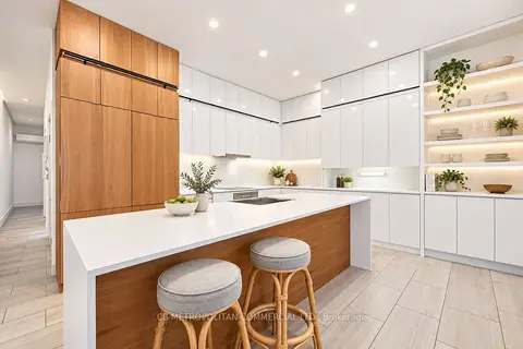
$4,399,000
1024 Queen Street W
Trinity-Bellwoods, Toronto
Commercial Retail · MLS® C13770156 · CB METROPOLITAN COMMERCIAL LTD.
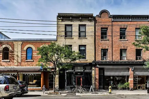
$4,399,000
1024 Queen Street W
Trinity-Bellwoods, Toronto
Investment · MLS® C13778416 · CB METROPOLITAN COMMERCIAL LTD.
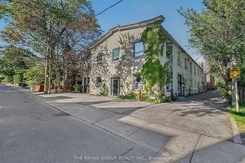
$4,749,999
Reduced $750,000
65 Bellwoods Avenue
Trinity-Bellwoods, Toronto
Office · MLS® C13232688 · THE BEHAR GROUP REALTY INC.
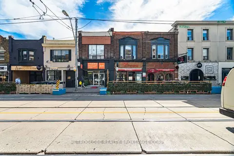
$4,950,000
Reduced $238,000
587-589 College Street
Trinity-Bellwoods, Toronto
Store W Apt/Office · MLS® C13839784 · METROGLOBE REALTY BROKERAGE CORP.
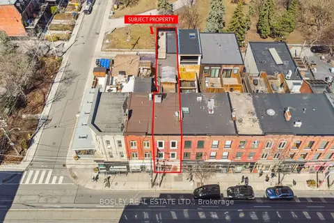
$3,770,000
890 Queen Street W
Trinity-Bellwoods, Toronto
Store W Apt/Office · MLS® C13756150 · BOSLEY REAL ESTATE LTD.
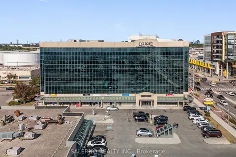
$4,388,000
1280 Finch Avenue W 504 - 513
York University Heights, Toronto
Office · MLS® W13130428 · SALERNO REALTY INC.
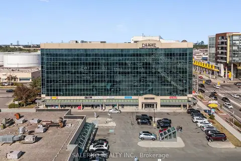
$4,388,000
1280 Finch Avenue W 514
York University Heights, Toronto
Office · MLS® W13130434 · SALERNO REALTY INC.
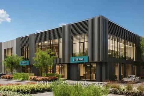
$4,353,515
2075 McNicoll Avenue A107
Milliken, Toronto
Industrial · MLS® E13641606 · COLLIERS