97 Lee Avenue
The Beaches, Toronto, M4E 2P2
$8,449,000
- 11 bathrooms
Listed 36 days ago · MLS® E13780830
About this home
Boutique living redefined in the heart of the Beaches. This iconic address boasts 6 multi-story lofts and 4 exquisite suites (10 large suites in total), following a significant two-year building restoration program (2021-25). With millions invested, over 65% of the property's square footage has been meticulously upgraded to luxury standards. All remodeled suites immediately captured significantly higher rents, proving that investment case to continue with luxury renovation plans as tenants churn. Tenants desire large multi-level lofts, complete privacy, luxury renos, with surface parking and no elevators! Nestled on a spacious 75x125 ft lot, the building showcases 11,000 sq ft of living space, complemented by 10 surface parking spots, 10 personal storage lockers, and various alfresco areas. With a blend of contemporary luxury, timeless exposed brick and beam, elegant hardwood floors, and abundant natural light, steps to Kew Gardens, the boardwalk, Financial District and More. Suites 1,3,4,8,6,10 were completely remodeled to luxury status (2021/25). Suite 10s renovation and restoration are complete, making it the newest finished unit.
Details
- Type
- Investment
- Lot
- 75 × 125 ft
- Garage
- None
- Property tax
- $22,203 (2026)
- Neighbourhood
- The Beaches
- Municipality
- Toronto E02
Interior
- Bathrooms
- 11 × bathroom
Heating, cooling and services
- Heating
- Baseboard
- Air conditioning
- Yes
- Water and sewer
- Storm
- Utilities
- Yes
Building and exterior
- Building area
- 11,232 Square Feet
More
- Possession
- Flexible
- Cross street
- Queen St. E & Lee Ave.
- Business type
- Apts - 6 To 12 Units
History of this address
20 earlier listings at this address, with sold and leased prices. Create a free account or sign in to see them.
Location
Location is approximate. See nearby homes on the map
Recent sales nearby
See what similar homes within 1 km sold for in the last year. Create a free account or sign in to see them.
The neighbourhood
Getting around Very walkable
- 🚇 Main Street Subway2.0 km
- 🚇 Woodbine Subway2.1 km
- 🚆 Danforth GO1.7 km
Within a 10-minute walk: 5 grocery stores, 44 cafés and restaurants, 7 parks, 3 pharmacies. Nearest grocery: Foodland (50 m). Nearest park: Kew Gardens (300 m).
Schools nearby
Elementary
- Avalon Children's Montessori School Private2 min walk
- Boardwalk Montessori School Private4 min walk
- Sandpiper Montessori School Private5 min walk
- Williamson Road Junior Public School
EQAO: Gr 6 reading 97%, math 73%7 min walk
Secondary
- Glen Ames Senior Public School6 min walk
EQAO: share of students meeting the provincial standard (2024–25). Ontario average: Gr 6 reading 86%, math 51%; Gr 9 math 55%; literacy test 83%.
Closest schools, not school zones. Check which school serves this address with the school board before relying on it.
Who lives here postal area M4E
- Owners / renters
- 64% / 36%
- Median household income
- $112,000
- Average age
- 41
- Children under 15
- 17%
- Homes
- 28% detached, 8% high-rise
- Commute by transit
- 20%
- Population
- 25,473
Languages spoken most at home besides English: Spanish 0.7%, Yue (Cantonese) 0.5%, Mandarin 0.4%, Portuguese 0.2%.
Flood and conservation No mapped hazard
Not inside a mapped flood plain or regulated area.
Screening maps only. Ask the conservation authority for a property inquiry before relying on this.
Safety
Major crime per resident in The Beaches (2025): 31% below the Toronto average, down 11% from the year before.
- Assault32% below average
- Break and enter20% below average
- Auto theft27% below average
- Robbery68% below average
- Theft from vehiclesabout average
- Shootingsnone reported
Crime Severity Index for Toronto police: 60 vs 57 for Ontario (2025).
Police-reported figures for the whole neighbourhood, not this street. Rates use the area’s resident population.
Development nearby
-
2040 QUEEN ST E · 50 mOfficial Plan / Zoning By-law Amendment · Closed · applied 2024To demolish the existing two-storey mixed-use building and construct a 6-storey (20 metres not including MPH) mixed-use building with retail fronting Queen…Application details
Rezoning, site plan, subdivision and condominium applications filed with the city.
Distances are approximate. Places © OpenStreetMap contributors. Neighbourhood figures: Statistics Canada, 2021 Census. School results: EQAO via Ontario Data Catalogue (Open Government Licence – Ontario). Neighbourhood crime: Toronto Police Service Public Safety Data Portal (Open Government Licence – Toronto Police Service). Crime Severity Index: Statistics Canada. Planning applications: City of Toronto open data.
Living here
Commute
To Union Station (downtown Toronto): 7 km. Transit times · Driving times
Noise Nothing major nearby
No highway within 500 m, rail line within 300 m, or airport flight path nearby.
Distances from the map, not noise measurements. Visit at rush hour to judge for yourself.
Building permits
No building permits at this address since 2014.
3 permits on this block of the street in the last 2 years.
Permits filed with the City of Toronto. A permit doesn’t mean the work passed final inspection.
Trees
49 City street trees within 100 m. That’s about the Toronto average of 42.
Trees on City boulevards only, not private yards or parks.
Internet High-speed
50/10 Mbps or faster available here by cable, fibre or DSL (the federal high-speed target).
From the federal broadband map. Check exact speeds and providers for the address.
Zoning, heritage, building permits and street trees: City of Toronto open data (Open Government Licence – Toronto). Roads, rail, airports and planned stations © OpenStreetMap contributors. Internet: Innovation, Science and Economic Development Canada, National Broadband Data.
Listed by PROPERTY.CA INC..
Listing information provided by PropTx Innovations Inc. and TRREB; deemed reliable but not guaranteed accurate by PropTx.
Similar homes nearby
See more in Toronto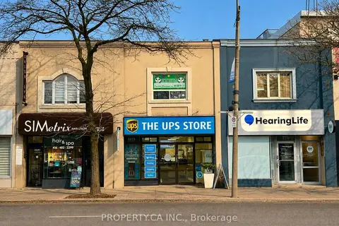
$8,400,000
3217
Lawrence Park North, Toronto
Commercial Retail · MLS® C13676190 · PROPERTY.CA INC.
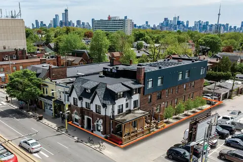
$8,499,000
781 St. Clair Avenue W
Wychwood, Toronto
Investment · MLS® C13517600 · AVISON YOUNG COMMERCIAL REAL ESTATE SERVICES, LP
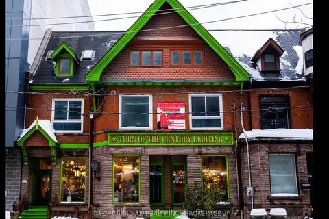
$8,500,000
112 & 114 Sherbourne Street
Waterfront Communities C1, Toronto
Commercial Retail · MLS® C12820438 · Canadian Living Realty Inc.
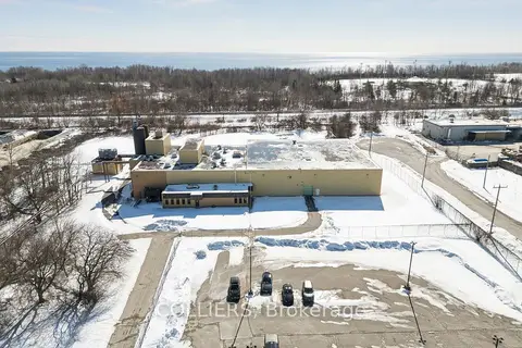
$8,549,000
15 Chemical Court
West Hill, Toronto
Industrial · MLS® E13416676 · COLLIERS
$8,314,355
2075 McNicoll Avenue B103 & B104
Milliken, Toronto
Industrial · MLS® E13641616 · COLLIERS
$7,999,999
2473 Dufferin Street
Briar Hill-Belgravia, Toronto
Investment · MLS® W14087742 · COLLIERS
$7,999,999
2473 Dufferin Street
Briar Hill-Belgravia, Toronto
Commercial Retail · MLS® W14087806 · COLLIERS
$8,900,000
128 Manville Road
Clairlea-Birchmount, Toronto
Industrial · MLS® E13415240 · ROYAL LEPAGE REAL ESTATE SERVICES LTD.