925 Bay Street R1A
Bay Street Corridor, Toronto, M5S 3L4
$1/mo
Listed 228 days ago · MLS® C12856266
About this home
Move-in-ready, fully renovated and furnished 1,043 sq. ft. office sublease prominently located at the signalized corner of Bay Street and Wellesley Street, with direct street frontage on Bay Street. Situated at the base of The Bay Club, a 32-storey residential tower, the space benefits from excellent visibility, continuous pedestrian traffic, and immediate TTC access directly outside the entrance. The bright, efficient layout includes one private office, one meeting room, a large open workstation area, a kitchen, and a private washroom, offering a true turnkey solution for professional or commercial users. Approximately 500 metres from the University of Toronto and UHN, and surrounded by major institutions including Queen's Park, Toronto Metropolitan University, College Park, and numerous office towers. A short, convenient walk to world-class arts and entertainment, parks, dining, and luxury shopping in Yorkville, as well as minutes from Holt Renfrew Centre and the Colonnade on Bloor Street. This vibrant location benefits from strong daytime and evening activity and is well suited for a wide range of commercial uses office, restaurants, retail, dental, and other Personal & Consumer Services like Hair/Nail salon, Dry Cleaner,Fitness Centre, etc..
Details
- Type
- Office
- Garage
- None
- Property tax
- $22 (2025)
- Neighbourhood
- Bay Street Corridor
- Municipality
- Toronto C01
Heating, cooling and services
- Heating
- Electric Forced Air
- Air conditioning
- Yes
- Utilities
- Yes
Building and exterior
- Building area
- 1,043 Square Feet
Rental terms
- Minimum term
- 24 months
More
- Possession
- Immed
- Cross street
- Bay St/ Wellesley St W
History of this address
2 earlier listings at this address, with sold and leased prices. Create a free account or sign in to see them.
Location
Location is approximate. See nearby homes on the map
The neighbourhood
Getting around Very walkable
- 🚇 Wellesley Subway5 min walk
- 🚇 College Subway8 min walk
- 🚆 Toronto Union Station GO2.2 km
Within a 10-minute walk: 22 grocery stores, 370 cafés and restaurants, 31 parks, 29 pharmacies. Nearest grocery: Galleria Supermarket Express (200 m). Nearest park: Breadalbane Park (50 m).
Schools nearby
Elementary
- Church Street Junior Public School
EQAO: Gr 6 reading 84%, math 45%10 min walk - Orde Street Public School
EQAO: Gr 6 reading 89%, math 64%12 min walk - Our Lady of Lourdes Catholic School Catholic
EQAO: Gr 6 reading 80%, math 43%15 min walk - Jesse Ketchum Junior and Senior Public School
EQAO: Gr 6 reading 96%, math 71%17 min walk
Secondary
- St. Joseph's College School Catholic
EQAO: Gr 9 math 66%, literacy test 87%3 min walk - Native Learning Centre9 min walk
- Collège français French12 min walk
EQAO: share of students meeting the provincial standard (2024–25). Ontario average: Gr 6 reading 86%, math 51%; Gr 9 math 55%; literacy test 83%.
Closest schools, not school zones. Check which school serves this address with the school board before relying on it.
Who lives here postal area M5S
- Owners / renters
- 36% / 64%
- Median household income
- $70,000
- Average age
- 40
- Children under 15
- 6%
- Homes
- 1% detached, 72% high-rise
- Commute by transit
- 24%
- Population
- 17,074
Languages spoken most at home besides English: Mandarin 8.4%, Yue (Cantonese) 2%, Korean 1.7%, Portuguese 1.1%.
Flood and conservation No mapped hazard
Not inside a mapped flood plain or regulated area.
Screening maps only. Ask the conservation authority for a property inquiry before relying on this.
Safety
Major crime per resident in Bay-Cloverhill (2025): about the Toronto average, up 6% from the year before.
- Assault22% below average
- Break and enter51% above average
- Auto theft93% below average
- Robberyabout average
- Theft from vehicles31% below average
- Shootingsnone reported
Crime Severity Index for Toronto police: 60 vs 57 for Ontario (2025).
Police-reported figures for the whole neighbourhood, not this street. Rates use the area’s resident population.
Development nearby 37 active
-
55 ISABELLA ST · 500 mOfficial Plan / Zoning By-law Amendment · Under Review · applied 2026The application proposes to amend the Zoning By-law to permit a 75-storey mixed-use building (250.5 metres including mechanical penthouse) containing 92 square…Application details
-
1075 BAY ST · 350 mOfficial Plan / Zoning By-law Amendment · Council Approved · applied 2025Official Plan & Zoning By-law Amendment to not replace the required office space and instead permit a minimum 1,815 m2 of non-residential space and/or…Application details
-
2 CARLTON ST · 400 mSite Plan · Under Review · applied 2025Site Plan application for an 80-storey tower containing 69,448 square metres of residential GFA and 10,037 square metres of non-residential GFA (Non-res GFA…Application details
-
543 YONGE ST · 200 mSite Plan · Under Review · applied 2025Site Plan Approval for a 68 storey mixed-use building. There will be 679 dwelling unit and 45,139 square meters of GFA, including 455 square meters of retail…Application details
-
516 CHURCH ST · 500 mSite Plan · OMB Appeal · applied 2024Site Plan Approval for a 48 storey mixed use building and restoration to the heritage protected properties at 508-510 Church St. Approximately 4390 square…Application details
-
145 ST LUKE LANE · 150 mSite Plan · Under Review · applied 2024Site Plan application for a proposed 67-storey residential/mixed-use building comprised of approximately 52,086 square metres of gross floor area (GFA),…Application details
43 more within 500 m.
Rezoning, site plan, subdivision and condominium applications filed with the city.
Distances are approximate. Places © OpenStreetMap contributors. Neighbourhood figures: Statistics Canada, 2021 Census. School results: EQAO via Ontario Data Catalogue (Open Government Licence – Ontario). Neighbourhood crime: Toronto Police Service Public Safety Data Portal (Open Government Licence – Toronto Police Service). Crime Severity Index: Statistics Canada. Planning applications: City of Toronto open data.
Living here
Commute
To Union Station (downtown Toronto): 2 km. Transit times · Driving times
Coming transit
- 🚧 Queen 1.4 km
- 🚧 Osgoode 1.5 km
- 🚧 Moss Park 1.7 km
Stations under construction or approved. Opening dates are the latest public estimates and often move.
Noise Nothing major nearby
No highway within 500 m, rail line within 300 m, or airport flight path nearby.
Distances from the map, not noise measurements. Visit at rush hour to judge for yourself.
Building permits
- Interior Alterations · 2026 · CancelledREVISION - REMOVAL OF PERIMETER WINDOW SPRINKLERS AND ASSOCIATEDCOMPONENTS AS NOTEDINTERIOR ALTERATIONS TO A NON-RESIDENTIAL…
- Building Permit Related · 2026 · ClosedFS - Sprinkler Shop Drawing - INTERIOR ALTERATIONS TO A NON-RESIDENTIAL BUILDINGEXISTING OFFICE SUITE FIT-OUT
- Garage Repair/Reconstruction · 2025 · ClosedLocalized parking garage rehabilitation
- Fire Damage · 2019 · ClosedProposed repair to fire damaged components in single unit, Unit 3103.
- Interior Alterations · 2018 · ClosedProposal for interior alterations to existing office space on the ground floor - Unit R1A
21 permits on this block of the street in the last 2 years.
Permits filed with the City of Toronto. A permit doesn’t mean the work passed final inspection.
Trees
42 City street trees within 100 m, mostly honeys. That’s about the Toronto average of 42.
Trees on City boulevards only, not private yards or parks.
Internet High-speed
50/10 Mbps or faster available here by cable, fibre or DSL (the federal high-speed target).
From the federal broadband map. Check exact speeds and providers for the address.
Zoning, heritage, building permits and street trees: City of Toronto open data (Open Government Licence – Toronto). Roads, rail, airports and planned stations © OpenStreetMap contributors. Internet: Innovation, Science and Economic Development Canada, National Broadband Data.
Listed by JDL REALTY INC..
Listing information provided by PropTx Innovations Inc. and TRREB; deemed reliable but not guaranteed accurate by PropTx.
Similar homes nearby
See more in Toronto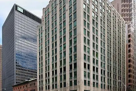
$1/mo
55 York Street 400
Bay Street Corridor, Toronto
Office · MLS® C12773086 · AVISON YOUNG COMMERCIAL REAL ESTATE SERVICES, LP
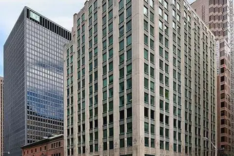
$1/mo
55 York Street 1300
Bay Street Corridor, Toronto
Office · MLS® C12773100 · AVISON YOUNG COMMERCIAL REAL ESTATE SERVICES, LP
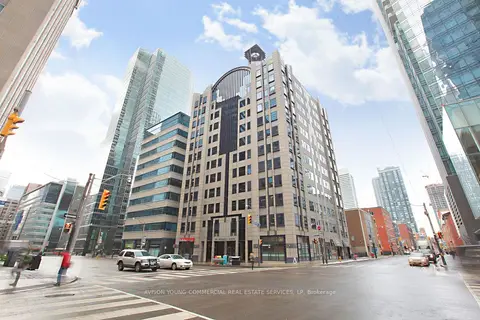
$1/mo
170 University Avenue 400
Bay Street Corridor, Toronto
Office · MLS® C12773110 · AVISON YOUNG COMMERCIAL REAL ESTATE SERVICES, LP
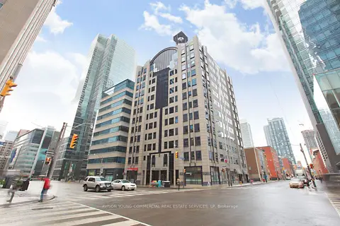
$1/mo
170 University Avenue 600
Bay Street Corridor, Toronto
Office · MLS® C12773114 · AVISON YOUNG COMMERCIAL REAL ESTATE SERVICES, LP
$1/mo
170 University Avenue 901
Bay Street Corridor, Toronto
Office · MLS® C12773118 · AVISON YOUNG COMMERCIAL REAL ESTATE SERVICES, LP
$1/mo
170 University Avenue 902
Bay Street Corridor, Toronto
Office · MLS® C12773120 · AVISON YOUNG COMMERCIAL REAL ESTATE SERVICES, LP
$1/mo
170 University Avenue 1100
Bay Street Corridor, Toronto
Office · MLS® C12773122 · AVISON YOUNG COMMERCIAL REAL ESTATE SERVICES, LP
$1/mo
170 University Avenue 1200
Bay Street Corridor, Toronto
Office · MLS® C12773126 · AVISON YOUNG COMMERCIAL REAL ESTATE SERVICES, LP