88 Queen Street E 5806
Church-Yonge Corridor, Toronto, M5C 0B6 · More in this building
$4,250/mo
- 2+1 bedrooms
- 3 bathrooms
- 1 parking
- 900-999 sq ft
Listed 21 days ago · MLS® C13837778
About this home
Elevated living at 88 Queen East. This high-floor 2-bedroom plus enclosed den suite offers 954 sq. ft. of interior space and a 180 sq. ft. balcony, with sweeping lake views. The spacious 19' x 15' open-concept living and dining area opens to the balcony, while the split-bedroom layout offers privacy and flexibility. The enclosed den works beautifully as a home office or guest space. Three full bathrooms make this a rare and practical downtown layout. Enjoy a modern kitchen, ensuite laundry, and a central location close to transit, shopping, dining, and the Financial District. Floor plan measurements are approximate; buyers and tenants should verify dimensions.
Details
- Type
- Condo Apartment
- Style
- Apartment
- Age
- 0-5 years
- Size
- 900-999 sq ft
- Basement
- None
- Garage
- Underground
- Kitchens
- 1
- Neighbourhood
- Church-Yonge Corridor
- Municipality
- Toronto C08
- Rent increase limit
- Probably not covered: units first occupied after Nov. 15, 2018 have no yearly cap in Ontario, so ask the landlord.
Interior
- Bedrooms
- 2 above ground + 1 below
- Bathrooms
- 3 × 3-piece (main)
- Rooms
- 6 above ground
- Family room or den
- No
- Fireplace
- No
- Laundry
- Ensuite
- Features
- Built-In Oven, Carpet Free
- Furnished
- Unfurnished
Heating, cooling and services
- Heating
- Forced Air, Electric
- Air conditioning
- Central Air
Building and exterior
- Style
- Apartment
- Exterior
- Concrete
- Age
- 0-5 years
Parking
- Garage spaces
- 1
- Total parking
- 1
Condo
- Amenities
- Elevator, Outdoor Pool, Party Room/Meeting Room, Rooftop Deck/Garden, Visitor Parking, Gym
- Locker
- Common
- Balcony
- Open
- Exposure
- South
- View
- Downtown, City, Skyline, Clear
- Property manager
- First Service
Rental terms
- Rent includes
- Heat, Water
More
- Possession
- Tenanted
- Cross street
- Queen St E & Yonge
Rooms
| Room | Level | Size | Features |
|---|---|---|---|
| Living Room | Main | 6.71 × 5.61 m (22' × 18'5") | Balcony |
| Primary Bedroom | Main | 4 Pc Ensuite, South View | |
| Bedroom 2 | Main | 3.1 × 2.82 m (10'2" × 9'3") | East View, Closet |
| Den | Main | 2.79 × 2.67 m (9'2" × 8'9") |
Location
Location is approximate. See nearby homes on the map
The neighbourhood
Getting around Very walkable
- 🚇 Queen Subway6 min walk
- 🚇 King Subway9 min walk
- 🚆 Toronto Union Station GO17 min walk
Within a 10-minute walk: 23 grocery stores, 379 cafés and restaurants, 25 parks, 27 pharmacies. Nearest grocery: Parsian Fine Foods (100 m). Nearest park: 45 Dalhousie St Park (100 m).
Schools nearby
Elementary
- Saint Michael's Choir School Catholic5 min walk
- École élémentaire Gabrielle-Roy French
EQAO: Gr 6 reading 100%, math 88%6 min walk - Downtown Alternative School11 min walk
- St. Michael Catholic School Catholic
EQAO: Gr 6 reading 83%, math 36%11 min walk
Secondary
- Collège français French16 min walk
- Native Learning Centre18 min walk
EQAO: share of students meeting the provincial standard (2024–25). Ontario average: Gr 6 reading 86%, math 51%; Gr 9 math 55%; literacy test 83%.
Closest schools, not school zones. Check which school serves this address with the school board before relying on it.
Who lives here postal area M5C
- Owners / renters
- 47% / 53%
- Median household income
- $89,000
- Average age
- 40
- Children under 15
- 6%
- Homes
- 97% high-rise
- Commute by transit
- 24%
- Population
- 3,149
Languages spoken most at home besides English: Mandarin 2%, Yue (Cantonese) 1.3%, Bengali 0.8%, Portuguese 0.8%.
Flood and conservation No mapped hazard
Not inside a mapped flood plain or regulated area.
Screening maps only. Ask the conservation authority for a property inquiry before relying on this.
Safety
Major crime per resident in Downtown Yonge East (2025): 123% above the Toronto average, down 17% from the year before.
- Assault207% above average
- Break and enter45% above average
- Auto theft66% below average
- Robbery83% above average
- Theft from vehicles84% above average
- Shootings47% above average
Crime Severity Index for Toronto police: 60 vs 57 for Ontario (2025).
Police-reported figures for the whole neighbourhood, not this street. Rates use the area’s resident population.
Development nearby 37 active
-
134 JARVIS ST · 100 mSite Plan · Under Review · applied 2026Proposed 11-space surface commercial parking lot.Application details
-
125 GEORGE ST · 300 mPlan of Condominium · Draft Plan Approved · applied 2026Draft Plan of Condominium for 39-storey mixed-use development with four levels of underground parking, and containing 516 residential dwelling units.Application details
-
207 JARVIS ST · 250 mOfficial Plan / Zoning By-law Amendment · Under Review · applied 2026This application proposes to amend the Official Plan and Zoning By-law to permit a 32-storey mixed-use building, containing 315 dwelling units (including 38…Application details
-
59 ADELAIDE ST E · 300 mOfficial Plan / Zoning By-law Amendment · Under Review · applied 2025Combined Official Plan & Zoning By-law Amendment for a new 63-storey mixed-use building, containing approximately 370 dwelling units.Application details
-
33 DUNDAS ST E · 450 mPlan of Condominium · Under Review · applied 2025Draft Plan of Condominium Standard (Technical Stream) for two unitsApplication details
-
120 CHURCH ST · 200 mPlan of Condominium · Draft Plan Approved · applied 2025Standard condominium application to create 592 residential units within a 48-storey mixed-use building. There will be 4 levels of below grade parking.Application details
50 more within 500 m.
Rezoning, site plan, subdivision and condominium applications filed with the city.
Distances are approximate. Places © OpenStreetMap contributors. Neighbourhood figures: Statistics Canada, 2021 Census. School results: EQAO via Ontario Data Catalogue (Open Government Licence – Ontario). Neighbourhood crime: Toronto Police Service Public Safety Data Portal (Open Government Licence – Toronto Police Service). Crime Severity Index: Statistics Canada. Planning applications: City of Toronto open data.
Living here
Commute
To Union Station (downtown Toronto): 1 km. Transit times · Driving times
Coming transit
- 🚧 Moss Park 350 m
- 🚧 Queen 400 m
- 🚧 Distillery District 900 m
Stations under construction or approved. Opening dates are the latest public estimates and often move.
Noise Nothing major nearby
No highway within 500 m, rail line within 300 m, or airport flight path nearby.
Distances from the map, not noise measurements. Visit at rush hour to judge for yourself.
What can be built CR
Commercial Residential (with a site-specific exception).
From Toronto’s Zoning By-law 569-2013 map. Lot size, setbacks and trees decide what actually fits; check with a planner before you buy.
Building permits
- Interior Alterations · 2025 · InspectionProposed for interior alteration to construct 164 rooms and Amenity Spaces on levels 2 to 6.
- New Building · 2025 · Revision IssuedRevision 02 - changing the hotel areas from GF to L6 be to only BASE BUILDING level onlyREV 01 - Revision to have electrical plans…
- Electromagnetic Locks · 2025 · ClosedProposal to install two maglocks to the sixth level of the building, bringing the total number of maglocks to eight.See related permit 24…
- Electromagnetic Locks · 2024 · ClosedREV 02 - Electromagnetic locking devices proposed to levels:P1=2, 2nd=2, 5th=27 Electromagnetic maglocks on the the P1 level, second floor…
- Alternative Solution · 2024 · CancelledAlternative Solution - State Railing Corporation (State) retained HOD engineering Inc. (HOD) to comment on the use of tempered glass…
12 permits on this block of the street in the last 2 years.
Permits filed with the City of Toronto. A permit doesn’t mean the work passed final inspection.
Trees
27 City street trees within 100 m, mostly honeys. That’s fewer than the Toronto average of 42.
Trees on City boulevards only, not private yards or parks.
Internet High-speed
50/10 Mbps or faster available here by cable, fibre or DSL (the federal high-speed target).
From the federal broadband map. Check exact speeds and providers for the address.
Short-term rentals
Only in your principal residence (where you live). The entire home can be rented up to 180 nights a year; renting up to 3 bedrooms while you live there has no limit. Hosts register with the City and collect the 6% accommodation tax.
Zoning, heritage, building permits and street trees: City of Toronto open data (Open Government Licence – Toronto). Roads, rail, airports and planned stations © OpenStreetMap contributors. Internet: Innovation, Science and Economic Development Canada, National Broadband Data.
Listed by BENCHMARK SIGNATURE REALTY INC..
Listing information provided by PropTx Innovations Inc. and TRREB; deemed reliable but not guaranteed accurate by PropTx.
Similar homes nearby
See more in Toronto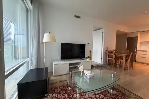
$4,299/mo
Reduced $201
3 bd2 ba900-999 ft²
501 Yonge Street 1112
Church-Yonge Corridor, Toronto
Condo Apartment · MLS® C13724454 · AVION REALTY INC.
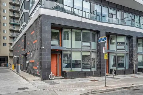
$4,200/mo
3+1 bd3 ba1 pk1200-1399 ft²
85 Wood Street TH5
Church-Yonge Corridor, Toronto
Condo Townhouse · MLS® C14089128 · HARVEY KALLES REAL ESTATE LTD.
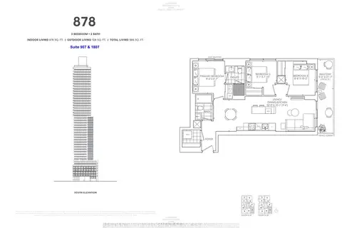
$4,150/mo
3 bd2 ba1 pk800-899 ft²
89 Church Street 907
Church-Yonge Corridor, Toronto
Condo Apartment · MLS® C13857372 · RESIDENTIAL DEVELOPMENT SERVICES INC.
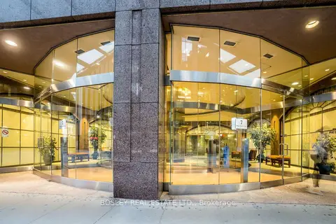
$4,100/mo
2+1 bd2 ba1 pk1200-1399 ft²
7 King Street E 1105
Church-Yonge Corridor, Toronto
Condo Apartment · MLS® C13876708 · BOSLEY REAL ESTATE LTD.
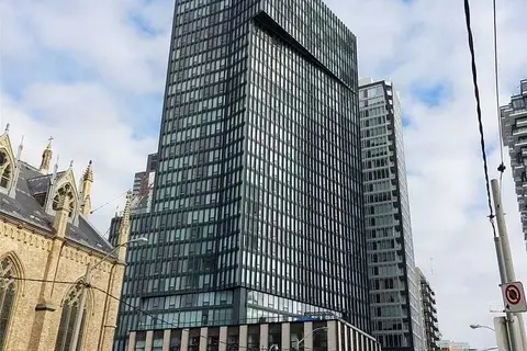
$4,500/mo
Reduced $300
3+1 bd2 ba1 pk1000-1199 ft²
60 Shuter Street 3006
Church-Yonge Corridor, Toronto
Condo Apartment · MLS® C13706992 · REALTY ASSOCIATES INC.
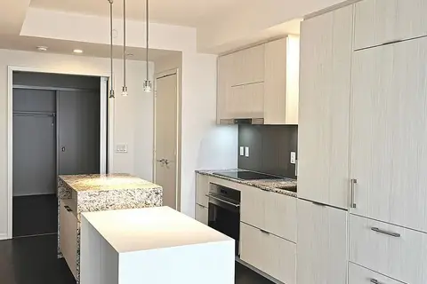
$4,000/mo
2 bd2 ba1 pk800-899 ft²
1 Bloor Street E 5508
Church-Yonge Corridor, Toronto
Condo Apartment · MLS® C13733334 · CULTURELINK REALTY INC.
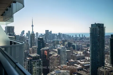
$4,000/mo
2+1 bd2 ba1 pk800-899 ft²
1 Bloor Street E 4907
Church-Yonge Corridor, Toronto
Condo Apartment · MLS® C13748742 · AIMHOME REALTY INC.
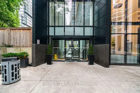
$4,000/mo
2 bd2 ba1 pk700-799 ft²
3 Gloucester Street 1709
Church-Yonge Corridor, Toronto
Condo Apartment · MLS® C13842712 · PROPERTY.CA INC.