88 Corporate Drive 1502
Woburn, Toronto, M1H 3G6 · More in this building
$2,800/mo
- 2+1 bedrooms
- 2 bathrooms
- 1 parking
- 1000-1199 sq ft
Listed 16 days ago · MLS® E13859620
About this home
Tridel Built Condo In Demand Area. Public Transit At Door. Easy Access To Highway. Large 2+1 Unit With Parking. Updated and very well kept. Ready For Move In. **EXTRAS** All Existing: Fridge, Stove, Washer, Dryer, B/I Dishwasher, And All Elf's And Window coverings. One underground parking is included.
Details
- Type
- Condo Apartment
- Style
- Apartment
- Size
- 1000-1199 sq ft
- Basement
- None
- Garage
- Underground
- Kitchens
- 1
- Neighbourhood
- Woburn
- Municipality
- Toronto E09
- Rent increase limit
- Depends on when the unit was first lived in: before Nov. 15, 2018 it’s covered by Ontario’s yearly limit (2.1% in 2026); after, there’s no cap.
Interior
- Bedrooms
- 2 above ground + 1 below
- Bathrooms
- 1 × 4-piece (flat), 1 × 3-piece (flat)
- Rooms
- 5 above ground + 1 below
- Family room or den
- No
- Fireplace
- No
- Laundry
- Ensuite
- Features
- Storage Area Lockers
- Furnished
- Unfurnished
Heating, cooling and services
- Heating
- Forced Air, Gas
- Air conditioning
- Central Air
Building and exterior
- Style
- Apartment
- Exterior
- Brick, Concrete
Parking
- Garage spaces
- 1
- Total parking
- 1
- Driveway and parking
- Underground
Condo
- Amenities
- Exercise Room, Guest Suites, Indoor Pool, Visitor Parking
- Exposure
- East
- Property manager
- Del Property Management 416-296-9996
Rental terms
- Rent includes
- Central Air Conditioning, Heat, Hydro, Parking, Water
More
- Possession
- 30-59 days
- Cross street
- Mccowan/401
Rooms
| Room | Level | Size | Features |
|---|---|---|---|
| Living Room | Ground | 5.09 × 3.09 m (16'8" × 10'2") | Laminate, W/O To Sunroom, Overlooks Dining |
| Dining Room | Ground | 4.3 × 3.39 m (14'1" × 11'1") | Laminate, Separate Room, Overlooks Living |
| Kitchen | Ground | 2.7 × 2.7 m (8'10" × 8'10") | Ceramic Floor, Stainless Steel Appl, Overlooks Living |
| Primary Bedroom | Ground | 3.99 × 3.7 m (13'1" × 12'2") | Laminate, 4 Pc Ensuite, Walk-In Closet(s) |
| Bedroom 2 | Ground | 3.09 × 2.39 m (10'2" × 7'10") | Laminate, Large Closet, W/O To Sunroom |
| Solarium | Ground | 4.7 × 2.39 m (15'5" × 7'10") | Laminate |
History of this address
2 earlier listings at this address, with sold and leased prices. Create a free account or sign in to see them.
Location
Location is approximate. See nearby homes on the map
The neighbourhood
Getting around Very walkable
- 🚆 Agincourt GO2.8 km
Within a 10-minute walk: 3 grocery stores, 25 cafés and restaurants, 3 parks, 5 pharmacies. Nearest grocery: FreshCo (750 m). Nearest park: Hillsborough Park (100 m).
Schools nearby
Elementary
- White Haven Junior Public School
EQAO: Gr 6 reading 87%, math 57%12 min walk - St. Elizabeth Seton Catholic School Catholic15 min walk
- North Bendale Junior Public School
EQAO: Gr 6 reading 92%, math 58%18 min walk - C.D. Farquharson Junior Public School
EQAO: Gr 6 reading 92%, math 68%1.3 km
Secondary
- St. Andrews Public School Catholic1.6 km
- Woburn Collegiate Institute
EQAO: Gr 9 math 51%, literacy test 81%1.7 km - Sir Alexander Mackenzie Senior Public School2.0 km
EQAO: share of students meeting the provincial standard (2024–25). Ontario average: Gr 6 reading 86%, math 51%; Gr 9 math 55%; literacy test 83%.
Closest schools, not school zones. Check which school serves this address with the school board before relying on it.
Who lives here postal area M1H
- Owners / renters
- 62% / 38%
- Median household income
- $80,000
- Average age
- 41
- Children under 15
- 15%
- Homes
- 30% detached, 56% high-rise
- Commute by transit
- 27%
- Population
- 23,964
Languages spoken most at home besides English: Gujarati 6%, Tamil 5.7%, Yue (Cantonese) 3.6%, Tagalog (Pilipino, Filipino) 3.1%.
Flood and conservation No mapped hazard
Not inside a mapped flood plain or regulated area.
Screening maps only. Ask the conservation authority for a property inquiry before relying on this.
Safety
Major crime per resident in Woburn North (2025): about the Toronto average, up 9% from the year before.
- Assaultabout average
- Break and enterabout average
- Auto theft41% above average
- Robberyabout average
- Theft from vehicles33% above average
- Shootings71% above average
Crime Severity Index for Toronto police: 60 vs 57 for Ontario (2025).
Police-reported figures for the whole neighbourhood, not this street. Rates use the area’s resident population.
Development nearby 8 active
-
85 CORPORATE DR · 150 mPlan of Subdivision · Under Review · applied 2026Draft Plan of Subdivision (DPS) to permit a comprehensive mixed-use development on the subject site, including two development blocks, a public road, public…Application details
-
85 CORPORATE DR · 150 mOfficial Plan / Zoning By-law Amendment · Under Review · applied 2026Proposal of five residential/mixed-use buildings, with heights of 48 storeys (Building D1), 46 storeys (Building D2), 44 storeys (Building D3) and 42 storeys…Application details
-
710 PROGRESS AVE · 300 mOfficial Plan / Zoning By-law Amendment · Application Received · applied 2025
-
710 PROGRESS AVE · 300 mOfficial Plan / Zoning By-law Amendment · Under Review · applied 2024Official Plan amendment and zoning by-law amendment to facilitate the development of two mixed-use towers (41 and 46-storeys) on a 8,885.58 square metre site.Application details
-
670 PROGRESS AVE · 350 mSite Plan · Under Review · applied 2021Two 40-storey residential building.Application details
-
690 PROGRESS AVE · 350 mOfficial Plan / Zoning By-law Amendment · OMB Appeal · applied 2019Official Plan Amendment application to establish a site-specific parkland dedication rate for the subject lands, which are within Scarborough Centre. The…Application details
2 more within 500 m.
Rezoning, site plan, subdivision and condominium applications filed with the city.
Distances are approximate. Places © OpenStreetMap contributors. Neighbourhood figures: Statistics Canada, 2021 Census. School results: EQAO via Ontario Data Catalogue (Open Government Licence – Ontario). Neighbourhood crime: Toronto Police Service Public Safety Data Portal (Open Government Licence – Toronto Police Service). Crime Severity Index: Statistics Canada. Planning applications: City of Toronto open data.
Living here
Commute
To Union Station (downtown Toronto): 18 km. Transit times · Driving times
Noise 1 source nearby
- 🛣️ Highway 401100 m
Distances from the map, not noise measurements. Visit at rush hour to judge for yourself.
Trees
4 City street trees within 100 m. That’s fewer than the Toronto average of 42.
Trees on City boulevards only, not private yards or parks.
Internet High-speed
50/10 Mbps or faster available here by cable, fibre or DSL (the federal high-speed target).
From the federal broadband map. Check exact speeds and providers for the address.
Short-term rentals
Only in your principal residence (where you live). The entire home can be rented up to 180 nights a year; renting up to 3 bedrooms while you live there has no limit. Hosts register with the City and collect the 6% accommodation tax.
Zoning, heritage, building permits and street trees: City of Toronto open data (Open Government Licence – Toronto). Roads, rail, airports and planned stations © OpenStreetMap contributors. Internet: Innovation, Science and Economic Development Canada, National Broadband Data.
Listed by RIGHT AT HOME REALTY.
Listing information provided by PropTx Innovations Inc. and TRREB; deemed reliable but not guaranteed accurate by PropTx.
Similar homes nearby
See more in Toronto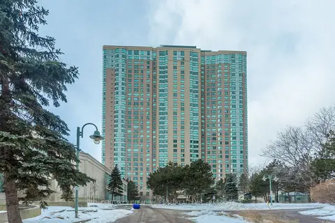
$2,800/mo
Reduced $100
2+1 bd2 ba1 pk900-999 ft²
68 Corporate Drive 1830
Woburn, Toronto
Condo Apartment · MLS® E13772906 · CENTURY 21 LEADING EDGE REALTY INC.
$2,750/mo
2 bd2 ba1 pk800-899 ft²
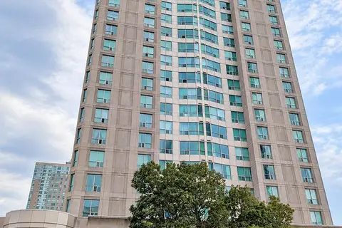
18 Lee Centre Drive 2110
Woburn, Toronto
Condo Apartment · MLS® E13691590 · ROYAL HERITAGE REALTY LTD.
$2,850/mo
2+1 bd2 ba1 pk900-999 ft²
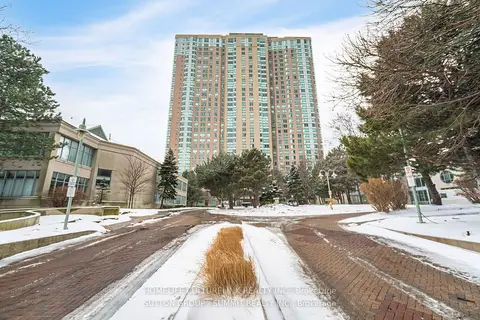
68 Corporate Drive 1929
Woburn, Toronto
Condo Apartment · MLS® E13735596 · HOMELIFE CULTURELINK REALTY INC.
$2,750/mo
3 bd2 ba1 pk800-899 ft²
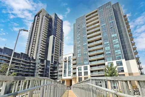
30 Meadowglen Place 1007
Woburn, Toronto
Condo Apartment · MLS® E13814290 · CENTURY 21 INNOVATIVE REALTY INC.
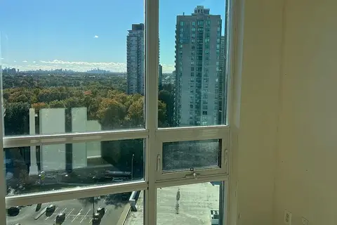
$2,850/mo
2 bd2 ba1 pk800-899 ft²
88 Grangeway Avenue 2103
Woburn, Toronto
Condo Apartment · MLS® E13868406 · HOMELIFE/FUTURE REALTY INC.
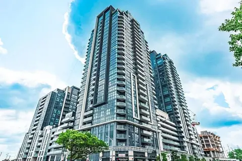
$2,750/mo
2+1 bd2 ba1 pk800-899 ft²
30 Meadowglen Place 1502
Woburn, Toronto
Condo Apartment · MLS® E14029010 · ROYAL LEPAGE IGNITE REALTY
$2,875/mo
2+1 bd2 ba1 pk800-899 ft²
30 Meadowglen Place 2707
Woburn, Toronto
Condo Apartment · MLS® E14081608 · RIGHT AT HOME REALTY
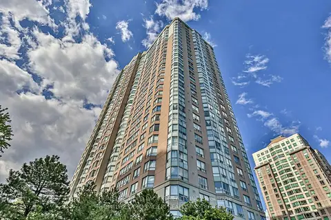
$2,900/mo
2+1 bd2 ba1 pk1000-1199 ft²
88 Corporate Drive Ph17
Woburn, Toronto
Condo Apartment · MLS® E13659742 · HOMELIFE GOLD PACIFIC REALTY INC.