860 Commissioners Road E 202
South H, London South, N6C 5Y8
$234,900
- 1 bedrooms
- 1 bathrooms
- 1 parking
- 700-799 sq ft
Listed 76 days ago · MLS® X13639576
About this home
Incredible opportunity just steps to Victoria Hospital, Children's Hospital, and Parkwood Hospital. Ideal for first-time buyers and investors. Condo features a spacious living/dining/kitchen, large primary bedroom and walk-in-closet. In-suite laundry, central air, and plenty of storage. Roseland Park features an Amenity Centre for owners including a swimming pool, tennis court, and exercise area. Minutes to shopping, school, and highway access. Ideally located on the second floor with a private balcony facing west. Roseland Part II is a well run and maintained self managed condominium with proactive management. Fantastic position located to many amenities with easy access to hwy and public transportation.
Details
- Type
- Condo Apartment
- Style
- Apartment
- Size
- 700-799 sq ft
- Basement
- Apartment
- Garage
- Surface
- Kitchens
- 1
- Property tax
- $1,626 (2025)
- Maintenance fee
- $418/month
- Neighbourhood
- South H
- Municipality
- London South
- Price per sq ft
- $313 (about the same as condo apartments in London South)
- Fee per sq ft
- $0.56/month
Interior
- Bedrooms
- 1 above ground
- Bathrooms
- 1 × 4-piece (main)
- Rooms
- 5 above ground
- Family room or den
- No
- Fireplace
- No
- Laundry
- In-Suite Laundry, Ensuite
- Features
- Separate Hydro Meter, Water Heater
Heating, cooling and services
- Heating
- Heat Pump, Gas
- Air conditioning
- Central Air
Building and exterior
- Style
- Apartment
- Exterior
- Stucco (Plaster)
- Outdoor
- Controlled Entry, Landscaped
Parking
- Total parking
- 1
- Driveway and parking
- Surface
Condo
- Monthly fee
- $418
- Fee includes
- Common Elements Included, Building Insurance Included, Water Included, Parking Included
- Amenities
- Club House, Exercise Room, Visitor Parking, Outdoor Pool
- Balcony
- Open
- Exposure
- West
- Pets
- Yes-with Restrictions
- Security
- Smoke Detector, Security System
- Property manager
- Self Managed
More
- Possession
- Flexible
- Nearby
- Hospital, Public Transit
- Cross street
- Adelaide and Commissioners
Rooms
| Room | Level | Size | Features |
|---|---|---|---|
| Kitchen | Main | 3.2 × 3.2 m (10'6" × 10'6") | |
| Dining Room | Main | 4.57 × 2.44 m (15' × 8') | |
| Living Room | Main | 4.47 × 3.35 m (14'8" × 11') | |
| Primary Bedroom | Main | 6.23 × 3.11 m (20'5" × 10'2") | |
| Library | Main | 7.22 × 3.35 m (23'8" × 11') |
Location
Location is approximate. See nearby homes on the map
Recent sales nearby
See what similar homes within 1 km sold for in the last year. Create a free account or sign in to see them.
The neighbourhood
Getting around Somewhat walkable
No subway, LRT or GO station within a short trip.
Within a 10-minute walk: no grocery stores, 7 cafés and restaurants, 2 parks. Nearest park: Glen Cairn Park West (650 m).
Schools nearby
Elementary
- C.C. Carrothers Public School
EQAO: Gr 6 reading 50%, math 27%14 min walk - Princess Elizabeth Public School
EQAO: Gr 6 reading 88%, math 53%16 min walk - Glen Cairn Public School
EQAO: Gr 6 reading 65%, math 28%1.2 km - St. Sebastian Catholic School Catholic
EQAO: Gr 6 reading 85%, math 45%1.3 km
Secondary
- Wheable Adult Education Centre1.4 km
- Sir Wilfrid Laurier Secondary School
EQAO: Gr 9 math 51%, literacy test 79%1.6 km - B. Davison Secondary School2.1 km
EQAO: share of students meeting the provincial standard (2024–25). Ontario average: Gr 6 reading 86%, math 51%; Gr 9 math 55%; literacy test 83%.
Closest schools, not school zones. Check which school serves this address with the school board before relying on it.
Who lives here postal area N6C
- Owners / renters
- 57% / 43%
- Median household income
- $75,500
- Average age
- 42
- Children under 15
- 15%
- Homes
- 48% detached, 18% high-rise
- Commute by transit
- 5%
- Population
- 30,629
Languages spoken most at home besides English: Arabic 1.8%, Spanish 1.4%, Polish 0.4%, Greek 0.2%.
Safety
Crime Severity Index for London police: 73 vs 57 for Ontario (2025).
Police-reported figures for the whole police service area, not this street. Rates use the area’s resident population.
Distances are approximate. Places © OpenStreetMap contributors. Neighbourhood figures: Statistics Canada, 2021 Census. School results: EQAO via Ontario Data Catalogue (Open Government Licence – Ontario). Crime Severity Index: Statistics Canada.
Living here
Commute
To downtown London: 4 km. Transit times · Driving times
Noise 1 source nearby
- 🚆 Rail line (Talbot Spur)150 m
Distances from the map, not noise measurements. Visit at rush hour to judge for yourself.
Internet High-speed
50/10 Mbps or faster available here by cable, fibre or DSL (the federal high-speed target).
From the federal broadband map. Check exact speeds and providers for the address.
Roads, rail, airports and planned stations © OpenStreetMap contributors. Internet: Innovation, Science and Economic Development Canada, National Broadband Data.
Listed by SUTTON GROUP PREFERRED REALTY INC..
Listing information provided by PropTx Innovations Inc. and TRREB; deemed reliable but not guaranteed accurate by PropTx.
Similar homes nearby
See more in London South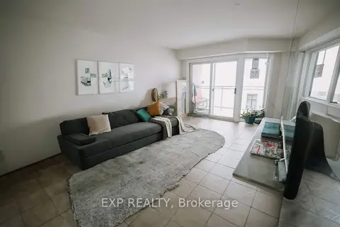
$279,999
2 bd1 ba1 pk900-999 ft²
858 Commissioners Road E 1207
South H, London South
Condo Apartment · MLS® X13820550 · EXP REALTY
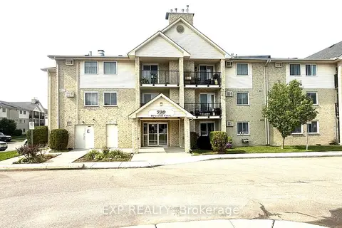
$230,000
Reduced $23,000
2 bd1 ba1 pk900-999 ft²
739 Deveron Crescent 210
South T, London South
Condo Apartment · MLS® X13648290 · EXP REALTY
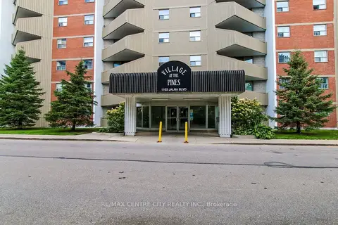
$229,900
1 bd1 ba1 pk500-599 ft²
1103 Jalna Boulevard 606
South X, London South
Condo Apartment · MLS® X13730924 · RE/MAX CENTRE CITY REALTY INC.
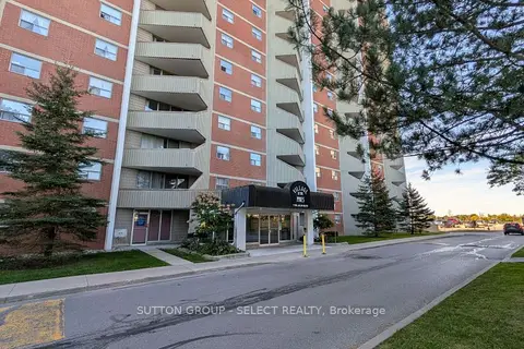
$239,900
2 bd1 ba1 pk700-799 ft²
1105 Jalna Boulevard 1501
South B, London South
Condo Apartment · MLS® X14013620 · SUTTON GROUP - SELECT REALTY
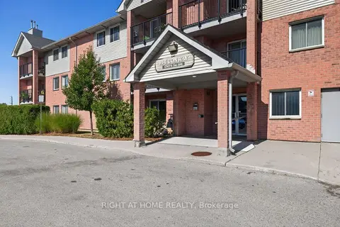
$225,000
2 bd1 ba1 pk800-899 ft²
144 Conway Drive 62
South X, London South
Condo Apartment · MLS® X14090040 · RIGHT AT HOME REALTY
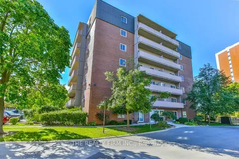
$224,900
2 bd1 ba2 pk700-799 ft²
1106 Jalna Boulevard 102
South X, London South
Condo Apartment · MLS® X13833410 · THE REALTY FIRM INC.
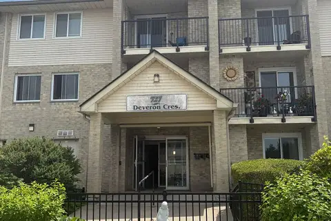
$249,900
Reduced $45,100
3 bd2 ba1 pk1000-1199 ft²
727 Deveron Crescent 210
South T, London South
Condo Apartment · MLS® X13495250 · BLUE FOREST REALTY INC.
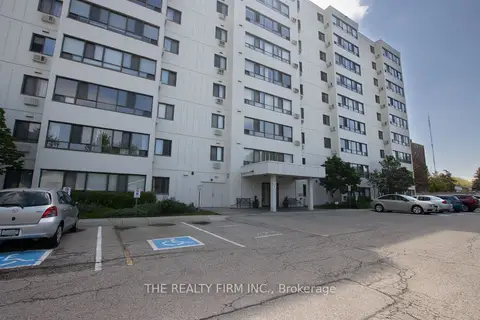
$249,900
2 bd1 ba1 pk800-899 ft²
135 Baseline Road W 403
South D, London South
Condo Apartment · MLS® X13583556 · THE REALTY FIRM INC.