846 College Street
Palmerston-Little Italy, Toronto, M6H 1A2
$3,750,000
Listed 35 days ago · MLS® C13783436
About this home
Prime mixed-use building at the vibrant intersection of College and Ossington, one of Toronto's most dynamic and sought after locations. Consistent pedestrian traffic, and seamless TTC access right at your doorstep. Rear attached garage parking adds convenience. The property is fully tenanted and turn-key, featuring a main floor commercial tenant plus two spacious residential units: one 3 bedroom, 1 bathroom apartment and one 2 bedroom, 1 bathroom apartment, both complete with large private outdoor terraces. Flexible mixed-use zoning supports a wide range of commercial and residential uses. Fantastic opportunity to secure a turn key stable income generating property.
Details
- Type
- Commercial Retail
- Lot
- 25.6 × 135.67 ft
- Garage
- Lane
- Property tax
- $30,153 (2026)
- Neighbourhood
- Palmerston-Little Italy
- Municipality
- Toronto C01
Heating, cooling and services
- Heating
- Gas Forced Air Open
- Air conditioning
- Yes
- Utilities
- Yes
Building and exterior
- Building area
- 5,026 Square Feet
More
- Cross street
- Ossington/College
Location
Location is approximate. See nearby homes on the map
Recent sales nearby
See what similar homes within 1 km sold for in the last year. Create a free account or sign in to see them.
The neighbourhood
Getting around Very walkable
- 🚇 Ossington Subway14 min walk
- 🚇 Christie Subway18 min walk
- 🚆 Exhibition GO2.1 km
Within a 10-minute walk: 15 grocery stores, 209 cafés and restaurants, 14 parks, 12 pharmacies. Nearest grocery: No Frills (100 m). Nearest park: George Ben Park (300 m).
Schools nearby
Elementary
- Dewson Street Junior Public School
EQAO: Gr 6 reading 89%, math 60%3 min walk - Ossington/Old Orchard Junior Public School
EQAO: Gr 6 reading 95%, math 85%3 min walk - Pope Francis Catholic School Catholic
EQAO: Gr 6 reading 86%, math 14%6 min walk - Montrose Junior Public School
EQAO: Gr 6 reading 100%, math 70%10 min walk
Secondary
- Horizon Alternative Senior School6 min walk
- Central Toronto Academy Private
EQAO: Gr 9 math 47%, literacy test 91%6 min walk - Delta Senior Alternative School9 min walk
EQAO: share of students meeting the provincial standard (2024–25). Ontario average: Gr 6 reading 86%, math 51%; Gr 9 math 55%; literacy test 83%.
Closest schools, not school zones. Check which school serves this address with the school board before relying on it.
Who lives here postal area M6H
- Owners / renters
- 48% / 52%
- Median household income
- $83,000
- Average age
- 41
- Children under 15
- 12%
- Homes
- 11% detached, 18% high-rise
- Commute by transit
- 30%
- Population
- 43,730
Languages spoken most at home besides English: Portuguese 8.5%, Spanish 2.3%, Yue (Cantonese) 1.8%, Italian 1.4%.
Flood and conservation No mapped hazard
Not inside a mapped flood plain or regulated area.
Screening maps only. Ask the conservation authority for a property inquiry before relying on this.
Safety
Major crime per resident in Palmerston-Little Italy (2025): about the Toronto average, up 15% from the year before.
- Assaultabout average
- Break and enter35% above average
- Auto theft49% below average
- Robbery45% above average
- Theft from vehicles33% below average
- Shootingsabout average
Crime Severity Index for Toronto police: 60 vs 57 for Ontario (2025).
Police-reported figures for the whole neighbourhood, not this street. Rates use the area’s resident population.
Development nearby 5 active
-
108 HARRISON ST · 350 mSite Plan · Under Review · applied 2026Site Plan Approval for renovations to the existing building at 108 Harrison Street to serve as a municipal shelter.Application details
-
976 COLLEGE ST · 400 mSite Plan · NOAC Issued · applied 2025Site Plan Approval for a 6-storey mass timber residential building for 19 affordable dwelling units.Application details
-
833 COLLEGE ST · 50 mSite Plan · Under Review · applied 2022INACTIVE Proposed development consists of a six (6) storey mixed-use building including 58.4 square metres of commercial space at grade and 5 residential…Application details
-
221 ROXTON RD · 150 mSite Plan · NOAC Issued · applied 2022An 8-storey mixed-use building.Application details
-
321 DOVERCOURT RD · 450 mSite Plan · NOAC Issued · applied 2020Site Plan Approval application to facilitate the development of the site for a 3-storey affordable housing apartment building comprised of 2234 square metres…Application details
-
871 COLLEGE ST · 100 mPlan of Condominium · Closed · applied 2023Draft Plan of Standard Condominium for 23 residential units. This mixed use building includes 23 residential condo units, 89 residential rental units, and…Application details
1 more within 500 m.
Rezoning, site plan, subdivision and condominium applications filed with the city.
Distances are approximate. Places © OpenStreetMap contributors. Neighbourhood figures: Statistics Canada, 2021 Census. School results: EQAO via Ontario Data Catalogue (Open Government Licence – Ontario). Neighbourhood crime: Toronto Police Service Public Safety Data Portal (Open Government Licence – Toronto Police Service). Crime Severity Index: Statistics Canada. Planning applications: City of Toronto open data.
Living here
Commute
To Union Station (downtown Toronto): 4 km. Transit times · Driving times
Noise Nothing major nearby
No highway within 500 m, rail line within 300 m, or airport flight path nearby.
Distances from the map, not noise measurements. Visit at rush hour to judge for yourself.
Building permits
- Interior Alterations · 2022 · Revision IssuedRevision 01 - changes to floor layout (relocating proposed kitchen, espresso bar, and universal washroom)Proposal for Interior Alterations…
10 permits on this block of the street in the last 2 years.
Permits filed with the City of Toronto. A permit doesn’t mean the work passed final inspection.
Trees
26 City street trees within 100 m, mostly honeys. That’s fewer than the Toronto average of 42.
Trees on City boulevards only, not private yards or parks.
Internet High-speed
50/10 Mbps or faster available here by cable, fibre or DSL (the federal high-speed target).
From the federal broadband map. Check exact speeds and providers for the address.
Zoning, heritage, building permits and street trees: City of Toronto open data (Open Government Licence – Toronto). Roads, rail, airports and planned stations © OpenStreetMap contributors. Internet: Innovation, Science and Economic Development Canada, National Broadband Data.
Listed by Elevate Real Estate.
Listing information provided by PropTx Innovations Inc. and TRREB; deemed reliable but not guaranteed accurate by PropTx.
Similar homes nearby
See more in Toronto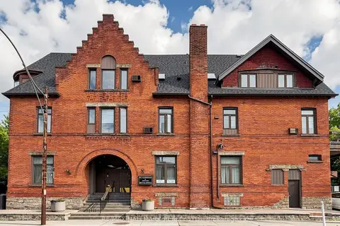
$3,400,000
5 bd7 ba
458 Markham Street
Palmerston-Little Italy, Toronto
Commercial Retail · MLS® C13482698 · RE/MAX HALLMARK REALTY LTD.
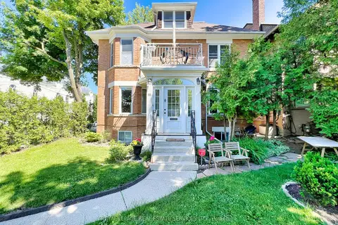
$3,750,000
6 ba
18 Shorncliffe Avenue
Casa Loma, Toronto
Investment · MLS® C13144392 · ROYAL LEPAGE REAL ESTATE SERVICES LTD.
$3,750,000
783 Queen Street W
Niagara, Toronto
Investment · MLS® C13829590 · CENTURY 21 REGAL REALTY INC.
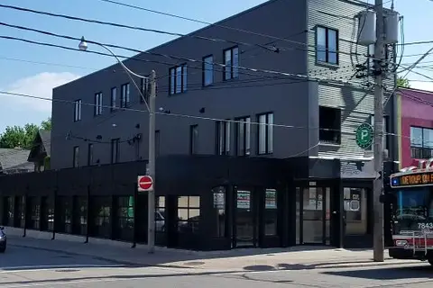
$3,749,990
Reduced $545,010
1415 Gerrard Street E
Greenwood-Coxwell, Toronto
Commercial Retail · MLS® E12890406 · REALTY NETWORK
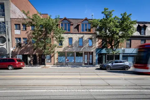
$3,749,000
Reduced $241,000
6 bd6 ba
432 Queen Street E
Regent Park, Toronto
Store W Apt/Office · MLS® C12880476 · ROYAL LEPAGE ESTATE REALTY
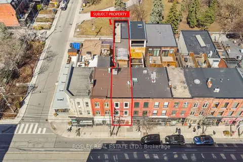
$3,770,000
890 Queen Street W
Trinity-Bellwoods, Toronto
Store W Apt/Office · MLS® C13756150 · BOSLEY REAL ESTATE LTD.
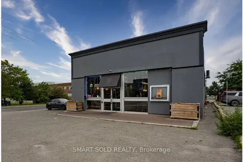
$3,719,000
2043 Eglinton Avenue E
Clairlea-Birchmount, Toronto
Commercial Retail · MLS® E13580196 · SMART SOLD REALTY
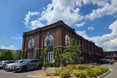
$3,788,888
Reduced $210,112
68 Jutland Road 1 & 2
Islington-City Centre West, Toronto
Industrial · MLS® W13516836 · RIGHT AT HOME REALTY