79 Dunlop Street W A
City Centre, Barrie, L4M 1A6
$17/mo
Listed 102 days ago · MLS® S13548984
About this home
Prime Downtown Barrie Retail Opportunity! Approximately 1,200 sq. ft. of versatile commercial retail space is available in the heart of Barrie's vibrant downtown at 79 Dunlop Street East, Unit A. Situated on one of the city's busiest commercial corridors, this high-exposure location benefits from excellent pedestrian and vehicle traffic, surrounded by established retailers, restaurants, professional offices, and waterfront attractions. The open-concept layout offers flexibility for a wide range of retail, boutique, service commercial, showroom, or office uses (subject to municipal approvals). Large storefront windows provide outstanding street presence and natural light, creating an inviting space for customers and clients alike. Located just steps from public parking, public transit, and Kempenfelt Bay, this is an exceptional opportunity to establish or expand your business in one of Barrie's most sought-after commercial districts. Join a thriving downtown business community and take advantage of the continued growth and revitalization of the area. Approx. 1,200 Sq. Ft., prime Downtown Location, excellent exposure, high pedestrian traffic, Immediate Occupancy Available.
Details
- Type
- Commercial Retail
- Lot
- 66.29 × ? ft
- Garage
- None
- Property tax
- $10 (2026)
- Neighbourhood
- City Centre
- Municipality
- Barrie
Heating, cooling and services
- Heating
- Gas Forced Air Closed
- Air conditioning
- Yes
- Water and sewer
- Sanitary
- Utilities
- Available
Building and exterior
- Building area
- 1,200 Square Feet
Rental terms
- Minimum term
- 24 months
More
- Possession
- August 1, 2026
- Cross street
- Dunlop St & Mary St
Location
Location is approximate. See nearby homes on the map
The neighbourhood
Getting around Very walkable
- 🚆 Allandale Waterfront GO1.7 km
Within a 10-minute walk: 3 grocery stores, 24 cafés and restaurants, 6 parks, 2 pharmacies. Nearest grocery: Lima's African Store (700 m). Nearest park: Heritage Park (500 m).
Schools nearby
Elementary
- Hillcrest Public School
EQAO: Gr 6 reading 74%, math 39%13 min walk - Portage View Public School
EQAO: Gr 6 reading 86%, math 47%1.9 km - St. Mary's Catholic School Catholic
EQAO: Gr 6 reading 91%, math 36%2.1 km - Cundles Heights Public School
EQAO: Gr 6 reading 77%, math 42%2.3 km
Secondary
- Barrie North Collegiate Institute
EQAO: Gr 9 math 48%, literacy test 88%1.5 km - Unity Christian High School Private1.8 km
- École secondaire catholique Nouvelle-Alliance French
EQAO: Gr 9 math 51%, literacy test 95%2.0 km
EQAO: share of students meeting the provincial standard (2024–25). Ontario average: Gr 6 reading 86%, math 51%; Gr 9 math 55%; literacy test 83%.
Closest schools, not school zones. Check which school serves this address with the school board before relying on it.
Who lives here postal area L4M
- Owners / renters
- 62% / 38%
- Median household income
- $87,000
- Average age
- 40
- Children under 15
- 16%
- Homes
- 56% detached, 9% high-rise
- Commute by transit
- 5%
- Population
- 46,902
Languages spoken most at home besides English: Mandarin 0.8%, Punjabi (Panjabi) 0.8%, Spanish 0.7%, Russian 0.5%.
Flood and conservation Regulated area
This address is inside a conservation-authority regulated area (Lake Simcoe Region Conservation): near a valley, stream, shoreline or wetland, where flooding or erosion can occur. New building, additions, pools or grading usually need a permit from the authority.
Screening maps only. Ask the conservation authority for a property inquiry before relying on this.
Safety
Crime Severity Index for Barrie police: 59 vs 57 for Ontario (2025).
Police-reported figures for the whole police service area, not this street. Rates use the area’s resident population.
Distances are approximate. Places © OpenStreetMap contributors. Neighbourhood figures: Statistics Canada, 2021 Census. School results: EQAO via Ontario Data Catalogue (Open Government Licence – Ontario). Flood and regulation mapping: Lake Simcoe Region Conservation open data. Crime Severity Index: Statistics Canada.
Living here
Commute
To Union Station (downtown Toronto): 86 km. Transit times · Driving times
Noise Nothing major nearby
No highway within 500 m, rail line within 300 m, or airport flight path nearby.
Distances from the map, not noise measurements. Visit at rush hour to judge for yourself.
Internet High-speed
50/10 Mbps or faster available here by cable, fibre or DSL (the federal high-speed target).
From the federal broadband map. Check exact speeds and providers for the address.
Roads, rail, airports and planned stations © OpenStreetMap contributors. Internet: Innovation, Science and Economic Development Canada, National Broadband Data.
Listed by RE/MAX NOBLECORP REAL ESTATE.
Listing information provided by PropTx Innovations Inc. and TRREB; deemed reliable but not guaranteed accurate by PropTx.
Similar homes nearby
See more in Barrie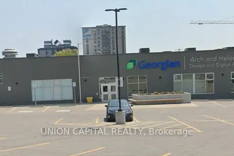
$17/mo
66 Bayfield Street
City Centre, Barrie
Commercial Retail · MLS® S12708106 · UNION CAPITAL REALTY
$16/mo
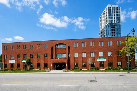
34 Simcoe Street 101
City Centre, Barrie
Office · MLS® S13484694 · CENTURY 21 B.J. ROTH REALTY LTD.
$16/mo
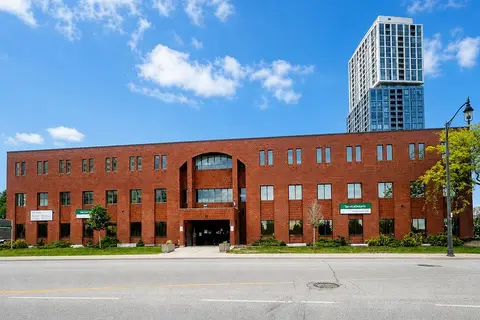
34 Simcoe Street 301
City Centre, Barrie
Office · MLS® S13486298 · CENTURY 21 B.J. ROTH REALTY LTD.
$15/mo
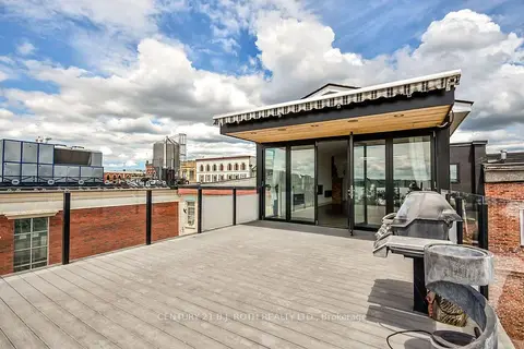
119 Dunlop Street E Level 4
City Centre, Barrie
Commercial Retail · MLS® S13550286 · CENTURY 21 B.J. ROTH REALTY LTD.
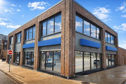
$19/mo
22 Clapperton Street
City Centre, Barrie
Office · MLS® S13764410 · CHARISSA REALTY INC.
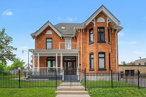
$19/mo
30 Mary Street
City Centre, Barrie
Office · MLS® S13796088 · RE/MAX HALLMARK PEGGY HILL GROUP REALTY
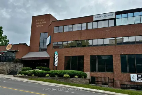
$14/mo
135 Bayfield Street 102
City Centre, Barrie
Office · MLS® S12733190 · ROYAL LEPAGE FIRST CONTACT REALTY
$14/mo
135 Bayfield Street 201
City Centre, Barrie
Office · MLS® S12733498 · ROYAL LEPAGE FIRST CONTACT REALTY