76 Kingston Road
Woodbine Corridor, Toronto, M4L 1S6
$3,995,000
Listed 90 days ago · MLS® E13593864
About this home
Highly visible corner property in Toronto's east end, featuring an approx. 1,817 sq. ft. freestanding building with three service bays and exceptional exposure along Kingston Rd and Orchard Park Blvd. Currently leased to an automotive user, the property provides in-place income while offering significant future repositioning and redevelopment potential.The site is zoned CR 2.0 (c0.5; r2.0) SS2 (x1579), permitting a broad range of commercial, residential, mixed-use, service, and automotive-related uses, subject to purchaser verification. The property also benefits from an advanced entitlement-stage boutique residential development concept for a proposed 56-suite mid-rise building totaling approximately 42,236 sq. ft. of gross floor area.Situated within an established east-end Toronto neighbourhood, the offering presents a rare opportunity to acquire a prominent corner site with both near-term cash flow and long-term development upside.Property being sold on an "as-is, where-is" basis. Purchasers are responsible for verifying all measurements, zoning, permitted uses, approvals, lease information, income, and development potential.
Details
- Type
- Land
- Lot
- 60 × 138 ft
- Property tax
- $41,004 (2025)
- Neighbourhood
- Woodbine Corridor
- Municipality
- Toronto E02
Heating, cooling and services
- Water and sewer
- Sanitary
- Utilities
- Available
Building and exterior
- Building area
- 0 Acres
More
- Possession
- Immediate
- Cross street
- Kingston Rd and Dundas St
History of this address
1 earlier listing at this address, with sold and leased prices. Create a free account or sign in to see them.
Location
Location is approximate. See nearby homes on the map
Recent sales nearby
See what similar homes within 1 km sold for in the last year. Create a free account or sign in to see them.
The neighbourhood
Getting around Very walkable
- 🚇 Coxwell Subway1.9 km
- 🚇 Woodbine Subway1.9 km
- 🚆 Danforth GO2.1 km
Within a 10-minute walk: 5 grocery stores, 39 cafés and restaurants, 15 parks, 6 pharmacies. Nearest grocery: Bruno’s Fine Foods (500 m). Nearest park: Edgewood Parkette (100 m).
Schools nearby
Elementary
- Kew Beach Junior Public School
EQAO: Gr 6 reading 100%, math 85%12 min walk - Bowmore Road Junior and Senior Public School
EQAO: Gr 6 reading 82%, math 45%13 min walk - Norway Junior Public School
EQAO: Gr 6 reading 100%, math 60%14 min walk - Boardwalk Montessori School Private15 min walk
Secondary
- Glen Ames Senior Public School1.2 km
EQAO: share of students meeting the provincial standard (2024–25). Ontario average: Gr 6 reading 86%, math 51%; Gr 9 math 55%; literacy test 83%.
Closest schools, not school zones. Check which school serves this address with the school board before relying on it.
Who lives here postal area M4L
- Owners / renters
- 61% / 39%
- Median household income
- $101,000
- Average age
- 40
- Children under 15
- 18%
- Homes
- 19% detached, 7% high-rise
- Commute by transit
- 22%
- Population
- 32,218
Languages spoken most at home besides English: Yue (Cantonese) 3%, Mandarin 0.7%, Spanish 0.7%, Urdu 0.6%.
Flood and conservation No mapped hazard
Not inside a mapped flood plain or regulated area.
Screening maps only. Ask the conservation authority for a property inquiry before relying on this.
Safety
Major crime per resident in Woodbine Corridor (2025): 26% below the Toronto average, down 13% from the year before.
- Assaultabout average
- Break and enter35% below average
- Auto theft71% below average
- Robbery72% below average
- Theft from vehicles38% below average
- Shootingsnone reported
Crime Severity Index for Toronto police: 60 vs 57 for Ontario (2025).
Police-reported figures for the whole neighbourhood, not this street. Rates use the area’s resident population.
Development nearby 3 active
-
1702 QUEEN ST E · 250 mOfficial Plan / Zoning By-law Amendment · Council Approved · applied 2025Official Plan & Zoning By-law Amendment for a 10-storey mixed-use building with a height of 34.95 metres (plus a 5.5 metre mechanical penthouse). The proposed…Application details
-
1702 QUEEN ST E · 250 mSite Plan · Under Review · applied 2021Site Plan Approval for a 6-storey mixed-use building having a non-residential gross floor area of 1120 square metres, and a residential gross floor area of…Application details
-
1702 QUEEN ST E · 250 mPlan of Subdivision · Under Review · applied 2021Draft Plan of Subdivision for 3 Block.Application details
Rezoning, site plan, subdivision and condominium applications filed with the city.
Distances are approximate. Places © OpenStreetMap contributors. Neighbourhood figures: Statistics Canada, 2021 Census. School results: EQAO via Ontario Data Catalogue (Open Government Licence – Ontario). Neighbourhood crime: Toronto Police Service Public Safety Data Portal (Open Government Licence – Toronto Police Service). Crime Severity Index: Statistics Canada. Planning applications: City of Toronto open data.
Living here
Commute
To Union Station (downtown Toronto): 6 km. Transit times · Driving times
Noise Nothing major nearby
No highway within 500 m, rail line within 300 m, or airport flight path nearby.
Distances from the map, not noise measurements. Visit at rush hour to judge for yourself.
What can be built R
Residential.
- ✅ Up to 6 homes on the lot (multiplex): a sixplex ward
- ✅ Garden suite in the backyard
- ✅ Laneway suite, if the lot backs onto a lane
From Toronto’s Zoning By-law 569-2013 map. Lot size, setbacks and trees decide what actually fits; check with a planner before you buy.
Trees
47 City street trees within 100 m, mostly maples. That’s about the Toronto average of 42.
Trees on City boulevards only, not private yards or parks.
Internet High-speed
50/10 Mbps or faster available here by cable, fibre or DSL (the federal high-speed target).
From the federal broadband map. Check exact speeds and providers for the address.
Zoning, heritage, building permits and street trees: City of Toronto open data (Open Government Licence – Toronto). Roads, rail, airports and planned stations © OpenStreetMap contributors. Internet: Innovation, Science and Economic Development Canada, National Broadband Data.
Listed by ROYAL LEPAGE SIGNATURE REALTY.
Listing information provided by PropTx Innovations Inc. and TRREB; deemed reliable but not guaranteed accurate by PropTx.
Similar homes nearby
See more in Toronto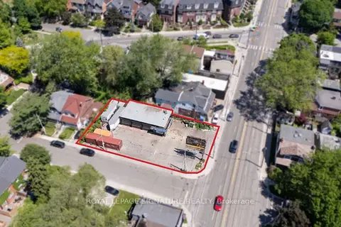
$3,995,000
76 Kingston Road
Woodbine Corridor, Toronto
Industrial · MLS® E13593850 · ROYAL LEPAGE SIGNATURE REALTY
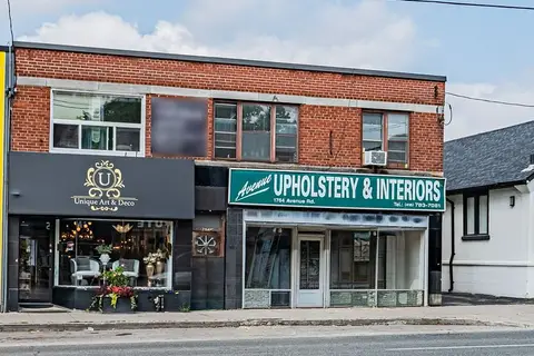
$3,995,000
1762-1764 Avenue Road
Bedford Park-Nortown, Toronto
Store W Apt/Office · MLS® C13783710 · ROYAL LEPAGE SIGNATURE REALTY
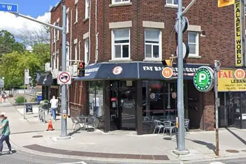
$3,999,000
2400 Bloor Street W
Runnymede-Bloor West Village, Toronto
Commercial Retail · MLS® W13605076 · HOMELIFE LANDMARK REALTY INC.
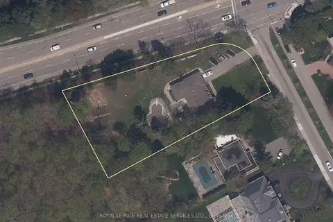
$3,999,900
10 Silverdale Crescent
Parkwoods-Donalda, Toronto
Land · MLS® C13115702 · ROYAL LEPAGE REAL ESTATE SERVICES LTD.
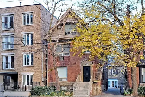
$3,999,900
93 Spadina Road
Annex, Toronto
Investment · MLS® C13753716 · RE/MAX ULTIMATE REALTY INC.
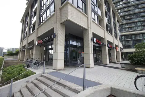
$4,000,000
49 East Liberty Street 3
Niagara, Toronto
Commercial Retail · MLS® C13588304 · REAL ESTATE HOMEWARD
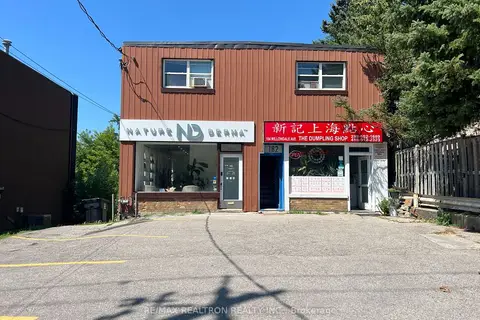
$3,990,000
180-184 Willowdale Avenue
Willowdale East, Toronto
Store W Apt/Office · MLS® C13598310 · RE/MAX REALTRON REALTY INC.
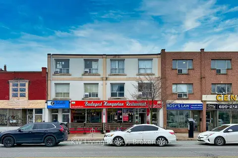
$3,988,888
2183 & 2185 Danforth Avenue
East End-Danforth, Toronto
Store W Apt/Office · MLS® E13071412 · KW Living Realty