752 Danforth Avenue
Danforth, Toronto, M4J 1L5
$1/mo
Listed 62 days ago · MLS® E13688268
About this home
Prime ground-floor retail space for lease along in the core of Greektown, located on one of Toronto'smajor east-west commercial corridor. The unit has strong street frontage, high pedestrian and vehiculartraffic, and excellent signage exposure.The space has a functional layout with multiple rooms and existing plumbing, suited to medical,professional, wellness, or service-based uses. It comes with 600 volts/200 amps of power, supporting an easy transition across different commercial formats. Additional Rent is expected to be competitive relative to other properties in the marketplace, keeping occupancy costs favourable for tenants.The area is surrounded by neighbourhood amenities and dense residential development, supporting steady year-round activity. The property is steps from the future Ontario Line Pape Station (underconstruction) and within walking distance of Pape Station (10 mins) and Greenwood Station (12 mins). Ideal Uses: Medical, professional services, health and wellness, QSR, Full-Service Restaurant and other retail or service-based businesses.
Details
- Type
- Commercial Retail
- Lot
- 56.06 × 97.53 ft
- Garage
- Other
- Property tax
- $10 (2026)
- Neighbourhood
- Danforth
- Municipality
- Toronto E03
Heating, cooling and services
- Heating
- Gas Forced Air Closed
- Air conditioning
- Yes
- Water and sewer
- Sanitary+Storm
- Utilities
- Yes
Building and exterior
- Building area
- 1,808 Square Feet
Rental terms
- Minimum term
- 60 months
More
- Possession
- Immediate
- Cross street
- Pape Ave + Danforth Ave
- Business type
- Retail Store Related
Location
Location is approximate. See nearby homes on the map
The neighbourhood
Getting around Walkable
- 🚇 Kennedy Subway1.4 km
- 🚇 Ionview LRT1.6 km
- 🚆 Scarborough GO8 min walk
Within a 10-minute walk: 2 grocery stores, 9 cafés and restaurants, 5 parks. Nearest grocery: Fu Yao Supermarket (600 m). Nearest park: Greystone Park (750 m).
Schools nearby
Elementary
- Norman Cook Junior Public School
EQAO: Gr 6 reading 83%, math 57%3 min walk - Corvette Junior Public School
EQAO: Gr 6 reading 71%, math 34%11 min walk - John A Leslie Public School
EQAO: Gr 6 reading 80%, math 38%16 min walk - St. Maria Goretti Catholic School Catholic
EQAO: Gr 6 reading 68%, math 27%19 min walk
Secondary
- Scarborough Centre for Alternative Studies12 min walk
- South East Year Round Alternative Centre13 min walk
- Robert Service Senior Public School17 min walk
EQAO: share of students meeting the provincial standard (2024–25). Ontario average: Gr 6 reading 86%, math 51%; Gr 9 math 55%; literacy test 83%.
Closest schools, not school zones. Check which school serves this address with the school board before relying on it.
Who lives here postal area M4J
- Owners / renters
- 62% / 38%
- Median household income
- $93,000
- Average age
- 42
- Children under 15
- 17%
- Homes
- 29% detached, 16% high-rise
- Commute by transit
- 30%
- Population
- 35,128
Languages spoken most at home besides English: Greek 3.2%, Yue (Cantonese) 2.5%, Mandarin 0.9%, Tagalog (Pilipino, Filipino) 0.7%.
Flood and conservation No mapped hazard
Not inside a mapped flood plain or regulated area.
Screening maps only. Ask the conservation authority for a property inquiry before relying on this.
Safety
Major crime per resident in Kennedy Park (2025): 59% above the Toronto average, about the same from the year before.
- Assault98% above average
- Break and enterabout average
- Auto theftabout average
- Robbery55% above average
- Theft from vehicles90% above average
- Shootings94% above average
Crime Severity Index for Toronto police: 60 vs 57 for Ontario (2025).
Police-reported figures for the whole neighbourhood, not this street. Rates use the area’s resident population.
Development nearby 1 active
-
3595 ST CLAIR AVE E · 500 mPlan of Subdivision · OMB Appeal · applied 2020Draft plan of subdivision to create 9 blocks and municipal streets comprising of one block for park uses and eight development blocks.Application details
Rezoning, site plan, subdivision and condominium applications filed with the city.
Distances are approximate. Places © OpenStreetMap contributors. Neighbourhood figures: Statistics Canada, 2021 Census. School results: EQAO via Ontario Data Catalogue (Open Government Licence – Ontario). Neighbourhood crime: Toronto Police Service Public Safety Data Portal (Open Government Licence – Toronto Police Service). Crime Severity Index: Statistics Canada. Planning applications: City of Toronto open data.
Living here
Commute
To Union Station (downtown Toronto): 13 km. Transit times · Driving times
Noise Nothing major nearby
No highway within 500 m, rail line within 300 m, or airport flight path nearby.
Distances from the map, not noise measurements. Visit at rush hour to judge for yourself.
What can be built RD
Residential Detached (with a site-specific exception).
- ✅ Up to 4 homes on the lot (multiplex)
- ✅ Garden suite in the backyard
- ✅ Laneway suite, if the lot backs onto a lane
From Toronto’s Zoning By-law 569-2013 map. Lot size, setbacks and trees decide what actually fits; check with a planner before you buy.
Building permits
- Interior Alterations · 2019 · ClosedInterior alterations to unit 1 for nursing clinic to existing building
4 permits on this block of the street in the last 2 years, including 3 new homes.
Permits filed with the City of Toronto. A permit doesn’t mean the work passed final inspection.
Trees
28 City street trees within 100 m. That’s fewer than the Toronto average of 42.
Trees on City boulevards only, not private yards or parks.
Internet High-speed
50/10 Mbps or faster available here by cable, fibre or DSL (the federal high-speed target).
From the federal broadband map. Check exact speeds and providers for the address.
Zoning, heritage, building permits and street trees: City of Toronto open data (Open Government Licence – Toronto). Roads, rail, airports and planned stations © OpenStreetMap contributors. Internet: Innovation, Science and Economic Development Canada, National Broadband Data.
Listed by CB METROPOLITAN COMMERCIAL LTD..
Listing information provided by PropTx Innovations Inc. and TRREB; deemed reliable but not guaranteed accurate by PropTx.
Similar homes nearby
See more in Toronto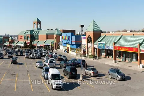
$1/mo
1448 - 1450 Lawrence Avenue E 304
Parkwoods-Donalda, Toronto
Office · MLS® C6766276 · INTERCITY REALTY INC.
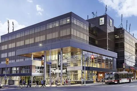
$1/mo
Reduced $23
3080 Yonge Street 5055
Lawrence Park North, Toronto
Office · MLS® C6768656 · INTERCITY REALTY INC.
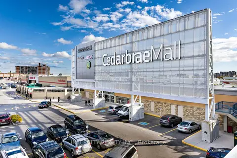
$1/mo
Reduced $17
3495 Lawrence Avenue E 202
Guildwood, Toronto
Office · MLS® E6763292 · INTERCITY REALTY INC.
$1/mo
Reduced $19
3495 Lawrence Avenue E 208
Guildwood, Toronto
Office · MLS® E6763300 · INTERCITY REALTY INC.
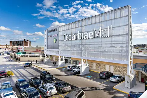
$1/mo
Reduced $17
3495 Lawrence Avenue E 210
Guildwood, Toronto
Office · MLS® E6763310 · INTERCITY REALTY INC.
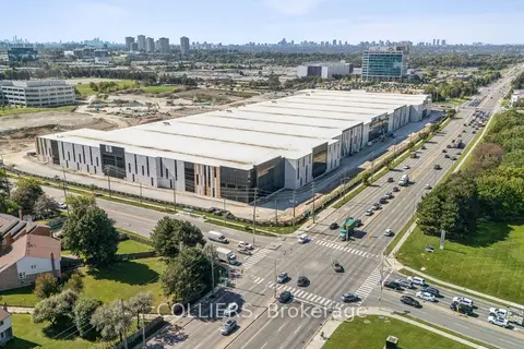
$1/mo
NA Steeles Avenue E
Steeles, Toronto
Industrial · MLS® E8152502 · COLLIERS
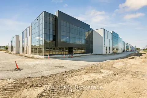
$1/mo
NA Steeles Avenue E 1
Steeles, Toronto
Industrial · MLS® E8367512 · COLLIERS
$1/mo
NA Steeles Avenue E 2
Steeles, Toronto
Industrial · MLS® E8367516 · COLLIERS