7044 Leeming Street
215 - Hospital, Niagara Falls, L2G 1L3
$420,000
- 4 bedrooms
- 2 bathrooms
- 4 parking
- 1100-1500 sq ft
Listed 4 days ago · MLS® X14085406
About this home
Situated on a mature, tree-lined street, this 2-storey home sits on an impressive 48 x 234 ft lot, offering plenty of space and endless possibilities. Conveniently located close to Niagara Falls Hospital, the QEW, the U.S. border, and a variety of shopping amenities. The main floor features a spacious living room with fireplace, a separate dining room, a main-floor bedroom, and a convenient 2-piece powder room. Upstairs, you'll find three spacious bedrooms and a full 3 piece bathroom. The basement is partially finished, providing additional space for storage, hobbies, or future use. Additional features include an on-demand hot water system. An excellent opportunity for buyers looking to renovate, personalize, or explore the potential of this property and its oversized lot. Property is being sold in as-is condition, with no representations or warranties of any kind. Buyer to satisfy themselves with all facets of the property.
Details
- Type
- Detached
- Style
- 2-Storey
- Size
- 1100-1500 sq ft
- Lot
- 48.5 × 234.9 ft
- Basement
- Partially Finished
- Garage
- None
- Kitchens
- 1
- Property tax
- $4,215 (2026)
- Neighbourhood
- 215 - Hospital
- Municipality
- Niagara Falls
- Price per sq ft
- $323 (29% below detached houses in 215 - Hospital, $453)
Interior
- Bedrooms
- 4 above ground
- Bathrooms
- 1 × 2-piece (main), 1 × 3-piece (second)
- Rooms
- 8 above ground
- Family room or den
- No
- Fireplace
- Living Room, Wood
- Features
- On Demand Water Heater
Heating, cooling and services
- Heating
- Forced Air, Gas
- Air conditioning
- Central Air
- Water and sewer
- Sewer
Building and exterior
- Style
- 2-Storey
- Exterior
- Vinyl Siding
- Roof
- Asphalt Shingle
- Foundation
- Block
- Faces
- North
Parking
- Total parking
- 4
Lot
- Size
- 48.5 × 234.9 ft
More
- Possession
- immediate
- Cross street
- Dorchester/Lundy's Lane
Location
Location is approximate. See nearby homes on the map
Recent sales nearby
See what similar homes within 1 km sold for in the last year. Create a free account or sign in to see them.
The neighbourhood
Getting around Walkable
No subway, LRT or GO station within a short trip.
Within a 10-minute walk: 2 grocery stores, 14 cafés and restaurants, 1 park, 2 pharmacies. Nearest grocery: Patel Groceries (550 m). Nearest park: Brookfield Park (900 m).
Schools nearby
Elementary
- Greendale Public School
EQAO: Gr 6 reading 97%, math 69%12 min walk - Princess Margaret Public School
EQAO: Gr 6 reading 98%, math 78%17 min walk - Our Lady of Mount Carmel Catholic Elementary School Catholic
EQAO: Gr 6 reading 91%, math 49%1.3 km - Cardinal Newman Catholic Elementary School Catholic
EQAO: Gr 6 reading 80%, math 44%1.6 km
Secondary
- Stamford Collegiate
EQAO: Gr 9 math 62%, literacy test 80%18 min walk - Westlane Secondary School
EQAO: Gr 9 math 66%, literacy test 87%1.6 km
EQAO: share of students meeting the provincial standard (2024–25). Ontario average: Gr 6 reading 86%, math 51%; Gr 9 math 55%; literacy test 83%.
Closest schools, not school zones. Check which school serves this address with the school board before relying on it.
Who lives here postal area L2G
- Owners / renters
- 63% / 37%
- Median household income
- $69,000
- Average age
- 44
- Children under 15
- 14%
- Homes
- 63% detached, 3% high-rise
- Commute by transit
- 3%
- Population
- 30,344
Languages spoken most at home besides English: Punjabi (Panjabi) 1.3%, Tagalog (Pilipino, Filipino) 1.1%, Spanish 0.9%, Mandarin 0.8%.
Flood and conservation No mapped hazard
Not inside a mapped flood plain or regulated area in Niagara Peninsula Conservation’s mapping.
Screening maps only. Ask the conservation authority for a property inquiry before relying on this.
Safety
Crime Severity Index for Niagara Region (St. Catharines) police: 54 vs 57 for Ontario (2025).
Police-reported figures for the whole police service area, not this street. Rates use the area’s resident population.
Distances are approximate. Places © OpenStreetMap contributors. Neighbourhood figures: Statistics Canada, 2021 Census. School results: EQAO via Ontario Data Catalogue (Open Government Licence – Ontario). Flood and regulation mapping: Niagara Peninsula Conservation open data. Crime Severity Index: Statistics Canada.
Living here
Commute
To Union Station (downtown Toronto): 65 km. Transit times · Driving times
Noise 1 source nearby
- 🛣️ Highway 420400 m
Distances from the map, not noise measurements. Visit at rush hour to judge for yourself.
Internet High-speed
50/10 Mbps or faster available here by cable, fibre or DSL (the federal high-speed target).
From the federal broadband map. Check exact speeds and providers for the address.
Roads, rail, airports and planned stations © OpenStreetMap contributors. Internet: Innovation, Science and Economic Development Canada, National Broadband Data.
Listed by REVEL Realty Inc., Brokerage.
Listing information provided by PropTx Innovations Inc. and TRREB; deemed reliable but not guaranteed accurate by PropTx.
Similar homes nearby
See more in Niagara Falls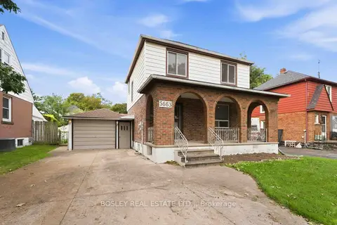
$425,000
Reduced $34,900
3 bd2 ba6 pk1100-1500 ft²
5663 Morse Avenue
215 - Hospital, Niagara Falls
Detached · MLS® X13803528 · BOSLEY REAL ESTATE LTD.,
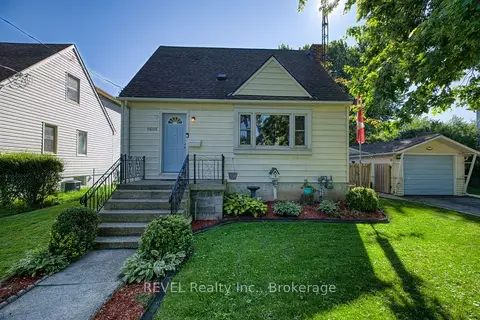
$449,900
3 bd2 ba3 pk1100-1500 ft²
5608 Glamis Crescent
215 - Hospital, Niagara Falls
Detached · MLS® X14030252 · REVEL Realty Inc., Brokerage
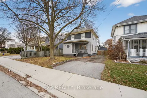
$419,900
3+1 bd3 ba6 pk1100-1500 ft²
4576 Fourth Avenue
211 - Cherrywood, Niagara Falls
Detached · MLS® X13801594 · EXP REALTY
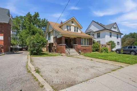
$419,000
3 bd2 ba2 pk1100-1500 ft²
4497 Morrison Street
210 - Downtown, Niagara Falls
Detached · MLS® X13820308 · BOLDT REALTY INC., BROKERAGE
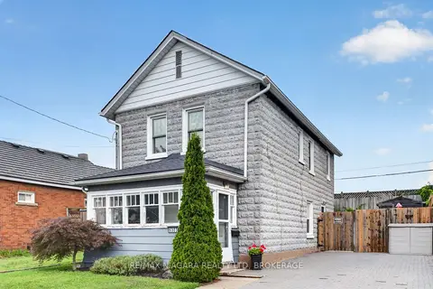
$414,900
2 bd1 ba2 pk1100-1500 ft²
6303 Ker Street
216 - Dorchester, Niagara Falls
Detached · MLS® X13698302 · RE/MAX NIAGARA REALTY LTD, BROKERAGE
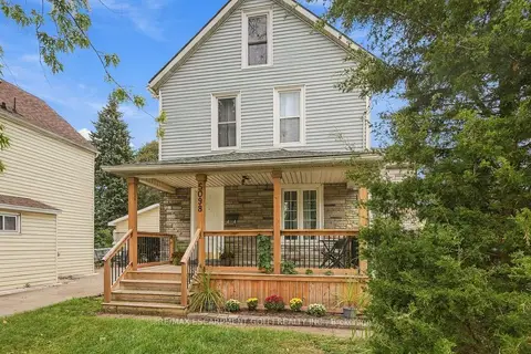
$429,000
3 bd1 ba2 pk1100-1500 ft²
5098 St. Lawrence Avenue
210 - Downtown, Niagara Falls
Detached · MLS® X13815298 · RE/MAX ESCARPMENT GOLFI REALTY INC.
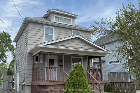
$429,000
3+1 bd2 ba4 pk1100-1500 ft²
5341 McRae Street N
211 - Cherrywood, Niagara Falls
Detached · MLS® X13820752 · HOMELIFE TOP STAR REALTY INC.
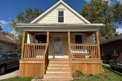
$429,000
3+1 bd1 ba3 pk700-1100 ft²
6269 Ash Street
216 - Dorchester, Niagara Falls
Detached · MLS® X13846356 · JDL REALTY INC.