701 Rossland Road E 13
Pringle Creek, Whitby, L1N 8Y9
$369,000
Reduced $30,900 from $399,900
Listed 44 days ago · MLS® E13748684
About this home
Excellent opportunity to acquire a well-established, turnkey halal supermarket in a prime location. Star Supermarket offers a strong and diversified business model featuring groceries, fresh halal meats, fish and seafood, frozen foods, international products, household essentials, and a popular shawarma and prepared-food operation. The business benefits from very high margins, multiple revenue streams, an established customer base, and excellent potential for continued growth under new ownership. Additional opportunities exist to further expand the grocery, meat, seafood, and prepared-food offerings, as well as introduce other permitted product categories. Liquor and cigarette sales may also be possible, subject to obtaining the required licences and approvals. Attractive existing lease with an extension option provides added stability for a new owner. A rare opportunity to step into an established, fully operational business with significant upside in a prime commercial location.
Details
- Type
- Sale Of Business
- Garage
- Plaza
- Neighbourhood
- Pringle Creek
- Municipality
- Whitby
Heating, cooling and services
- Heating
- Gas Forced Air Closed
- Air conditioning
- Yes
- Utilities
- Yes
Building and exterior
- Building area
- 3,963 Square Feet
More
- Possession
- TBA
- Cross street
- Garden St / Rossland Rd E
- Business type
- Grocery/Supermarket
Location
Location is approximate. See nearby homes on the map
Recent sales nearby
See what similar homes within 1 km sold for in the last year. Create a free account or sign in to see them.
The neighbourhood
Getting around Somewhat walkable
- 🚆 Whitby GO3.9 km
Within a 10-minute walk: 1 grocery store, 3 cafés and restaurants, 5 parks, 3 pharmacies. Nearest grocery: No Frills (400 m). Nearest park: Kenneth Hobbs Park (550 m).
Schools nearby
Elementary
- Glen Dhu Public School
EQAO: Gr 6 reading 80%, math 38%11 min walk - Pringle Creek Public School
EQAO: Gr 6 reading 88%, math 68%16 min walk - St. Matthew the Evangelist Catholic School Catholic
EQAO: Gr 6 reading 90%, math 52%18 min walk - St. Bernard Catholic School Catholic
EQAO: Gr 6 reading 88%, math 73%1.2 km
Secondary
- Father Leo J. Austin Catholic Secondary School Catholic
EQAO: Gr 9 math 55%, literacy test 90%1.4 km - Anderson Collegiate and Vocational Institute
EQAO: Gr 9 math 62%, literacy test 84%1.7 km
EQAO: share of students meeting the provincial standard (2024–25). Ontario average: Gr 6 reading 86%, math 51%; Gr 9 math 55%; literacy test 83%.
Closest schools, not school zones. Check which school serves this address with the school board before relying on it.
Who lives here postal area L1N
- Owners / renters
- 73% / 27%
- Median household income
- $100,000
- Average age
- 43
- Children under 15
- 16%
- Homes
- 59% detached, 12% high-rise
- Commute by transit
- 7%
- Population
- 49,649
Languages spoken most at home besides English: Urdu 0.9%, Tamil 0.7%, Spanish 0.5%, Mandarin 0.4%.
Flood and conservation No mapped hazard
Not inside a mapped flood plain or regulated area in Central Lake Ontario Conservation’s mapping.
Screening maps only. Ask the conservation authority for a property inquiry before relying on this.
Safety
Crime Severity Index for Durham Region (Oshawa/Whitby/Ajax) police: 43 vs 57 for Ontario (2025).
Police-reported figures for the whole police service area, not this street. Rates use the area’s resident population.
Distances are approximate. Places © OpenStreetMap contributors. Neighbourhood figures: Statistics Canada, 2021 Census. School results: EQAO via Ontario Data Catalogue (Open Government Licence – Ontario). Flood and regulation mapping: Central Lake Ontario Conservation open data. Crime Severity Index: Statistics Canada.
Living here
Commute
To Union Station (downtown Toronto): 45 km. Transit times · Driving times
Noise Nothing major nearby
No highway within 500 m, rail line within 300 m, or airport flight path nearby.
Distances from the map, not noise measurements. Visit at rush hour to judge for yourself.
Internet High-speed
50/10 Mbps or faster available here by cable, fibre or DSL (the federal high-speed target).
From the federal broadband map. Check exact speeds and providers for the address.
Roads, rail, airports and planned stations © OpenStreetMap contributors. Internet: Innovation, Science and Economic Development Canada, National Broadband Data.
Listed by HIGHPOINT HOMES REALTY.
Listing information provided by PropTx Innovations Inc. and TRREB; deemed reliable but not guaranteed accurate by PropTx.
Similar homes nearby
See more in Whitby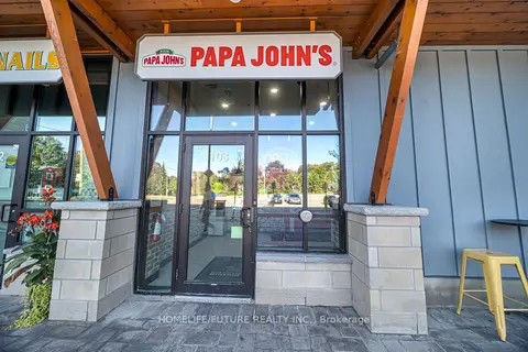
$429,000
72 Baldwin Street N
Brooklin, Whitby
Sale Of Business · MLS® E13856174 · HOMELIFE/FUTURE REALTY INC.
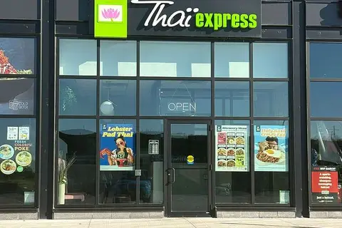
$299,900
5560 Baldwin Street S 3
Brooklin, Whitby
Sale Of Business · MLS® E13875174 · RE/MAX KEY2 REAL ESTATE
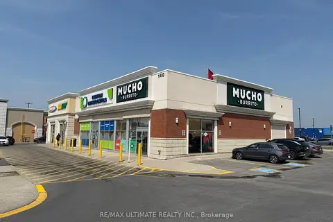
$299,000
Reduced $26,000
140 Taunton Road
Taunton North, Whitby
Sale Of Business · MLS® E13598228 · RE/MAX ULTIMATE REALTY INC.
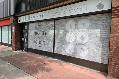
$299,000
1 ba
209 Dundas Street E 7
Downtown Whitby, Whitby
Sale Of Business · MLS® E13663400 · RE/MAX MILLENNIUM REAL ESTATE