70 Superior Boulevard
Gateway, Mississauga, L5T 2X9
$1
Listed 106 days ago · MLS® W13526568
About this home
Ready for Hotels, Convention centre, banquet facility or as you can Imagine.Excellent purchase opportunity at Superior/ Hwy 10/ Derry in Mississauga. A Rare Find 10 acres of land Exceptionally positioned in a prime location.Generous split E2 & O3 zoning that permits may uses. Conveniently located in close proximity to various highways 401, 403, 407, 410, 427, Toronto Pearson International Airport and an amenity-rich neighbourhood with immediate access to public transit. Professionally owned and managed.LRT at the doorsteps, Excellent Three street exposure.Hurontario (Hwy 10), Superior & Edwards Blvd. Just North Of Highway 401 on Hurontario St. Main Street Exposure And Located Within One Of Mississauga's Most Desirable Employment Nodes.
Details
- Type
- Land
- Lot
- 468 × 845 ft
- Property tax
- $252,919 (2026)
- Neighbourhood
- Gateway
- Municipality
- Mississauga
Heating, cooling and services
- Water and sewer
- Sanitary+Storm Available
- Utilities
- Available
Building and exterior
- Building area
- 10 Acres
More
- Possession
- TBA
- Cross street
- Hurontario Street/ Superior Blvd./Edward Blvd.
History of this address
1 earlier listing at this address, with sold and leased prices. Create a free account or sign in to see them.
Location
Location is approximate. See nearby homes on the map
Recent sales nearby
See what similar homes within 1 km sold for in the last year. Create a free account or sign in to see them.
The neighbourhood
Getting around Walkable
- 🚇 Courtneypark LRT10 min walk
- 🚆 Bramalea GO6.6 km
Within a 10-minute walk: no grocery stores, 24 cafés and restaurants, 0 parks.
Schools nearby
Elementary
- École élémentaire Le Flambeau French
EQAO: Gr 6 reading 100%, math 70%1.8 km - St. Veronica Elementary School Catholic
EQAO: Gr 6 reading 83%, math 50%2.0 km - Derry West Village Public School
EQAO: Gr 3 reading 58%, math 53%2.1 km
Secondary
- Mississauga Secondary School
EQAO: Gr 9 math 53%, literacy test 88%1.9 km - St. Marcellinus Secondary School Catholic
EQAO: Gr 9 math 68%, literacy test 91%2.2 km
EQAO: share of students meeting the provincial standard (2024–25). Ontario average: Gr 6 reading 86%, math 51%; Gr 9 math 55%; literacy test 83%.
Closest schools, not school zones. Check which school serves this address with the school board before relying on it.
Who lives here postal area L5T
- Population
- 19
Flood and conservation No mapped hazard
Not inside a mapped flood plain or regulated area.
Screening maps only. Ask the conservation authority for a property inquiry before relying on this.
Safety
Crime Severity Index for Peel Region (Mississauga/Brampton) police: 59 vs 57 for Ontario (2025).
Police-reported figures for the whole police service area, not this street. Rates use the area’s resident population.
Development nearby 3 active
-
6605 Hurontario Street · 450 mDevelopment application · In process · applied 2025Hotel (existing office building to remain)
-
70 Superior Blvd · 0 mDevelopment application · Application in Process · applied 2024Pdox transfer file sp 19-3 w5 || convention centre and two hotel towers attached by a podium
-
6710 Hurontario Street · 250 mDevelopment application · In process · applied 20237-storey mixed-use building containing office, restaurant, hotel and banquet uses.
Rezoning, site plan, subdivision and condominium applications filed with the city.
Distances are approximate. Places © OpenStreetMap contributors. Neighbourhood figures: Statistics Canada, 2021 Census. School results: EQAO via Ontario Data Catalogue (Open Government Licence – Ontario). Crime Severity Index: Statistics Canada. Planning applications: City of Mississauga open data.
Living here
Commute
To Union Station (downtown Toronto): 26 km. Transit times · Driving times
Coming transit
- 🚧 Courtneypark Hazel McCallion LRT500 m · opening about 2029
- 🚧 Derry Hazel McCallion LRT950 m · opening about 2029
Stations under construction or approved. Opening dates are the latest public estimates and often move.
Noise Nothing major nearby
No highway within 500 m, rail line within 300 m, or airport flight path nearby.
Distances from the map, not noise measurements. Visit at rush hour to judge for yourself.
Internet High-speed
50/10 Mbps or faster available here by cable, fibre or DSL (the federal high-speed target).
From the federal broadband map. Check exact speeds and providers for the address.
Roads, rail, airports and planned stations © OpenStreetMap contributors. Internet: Innovation, Science and Economic Development Canada, National Broadband Data.
Listed by ACRES REAL ESTATE INC..
Listing information provided by PropTx Innovations Inc. and TRREB; deemed reliable but not guaranteed accurate by PropTx.
Similar homes nearby
See more in Mississauga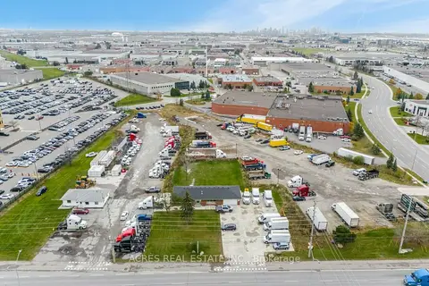
$1
140-160 Derry Road E
Gateway, Mississauga
Land · MLS® W13534990 · ACRES REAL ESTATE INC.
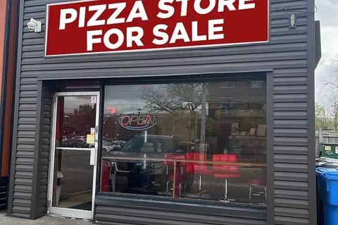
$1
Reduced $248,999
17 Tannery Street 3
Streetsville, Mississauga
Sale Of Business · MLS® W12478051 · RE/MAX PRESIDENT REALTY
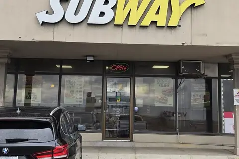
$1
2 ba
6465 Airport Road
Northeast, Mississauga
Sale Of Business · MLS® W12985270 · HOMELIFE/MIRACLE REALTY LTD

$1
1100 Burnhamthorpe Road 13
Mavis-Erindale, Mississauga
Sale Of Business · MLS® W13633380 · ROYAL LEPAGE SIGNATURE REALTY
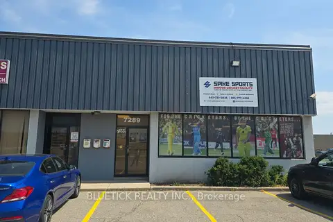
$1
7289 Torbram Road
Northeast, Mississauga
Sale Of Business · MLS® W13634444 · BLUETICK REALTY INC.
$1
Reduced $15,999,998
3550 Wolfedale Road
Mavis-Erindale, Mississauga
Commercial Retail · MLS® W13684712 · AVISON YOUNG COMMERCIAL REAL ESTATE SERVICES, LP
$1
Reduced $15,999,998
3550 Wolfedale Road
Mavis-Erindale, Mississauga
Industrial · MLS® W13684716 · AVISON YOUNG COMMERCIAL REAL ESTATE SERVICES, LP
$1
1850 Dundas Street
Dixie, Mississauga
Sale Of Business · MLS® W13722548 · Royal LePage Real Estate Associates