70 Silton Road 1
East Woodbridge, Vaughan, L4L 8B9
$1,690,000
Listed 20 days ago · MLS® N13839940
About this home
Unbeatable Vaughan Location! Corner Unit #1! Ideally situated near Weston Road & Langstaff Road with excellent exposure onto Chrislea Road. This professionally finished 4,840 sq. ft. two-storey corner unit offers a functional and versatile layout suitable for a wide range of professional and service-based uses. The space features multiple private offices, a large private boardroom, 4 washrooms including showers, a lunchroom with kitchenette, built-in shelving and cubicles, and a large open-concept office area on the second floor. Located in a well-maintained complex surrounded by retail, restaurants, transit, and major highways, providing excellent accessibility for both employees and clients. An ideal opportunity for construction, professional services, technology, logistics, or other service-oriented businesses seeking a well-appointed office space in a highly accessible Vaughan location.
Details
- Type
- Office
- Garage
- Outside/Surface
- Property tax
- $9,058 (2026)
- Neighbourhood
- East Woodbridge
- Municipality
- Vaughan
Heating, cooling and services
- Heating
- Gas Forced Air Open
- Air conditioning
- Yes
- Utilities
- Yes
Building and exterior
- Building area
- 4,840 Square Feet
More
- Possession
- TBD
- Cross street
- Weston/Langstaff
- Business type
- Professional Office
History of this address
1 earlier listing at this address, with sold and leased prices. Create a free account or sign in to see them.
Location
Location is approximate. See nearby homes on the map
Recent sales nearby
See what similar homes within 1 km sold for in the last year. Create a free account or sign in to see them.
The neighbourhood
Getting around Walkable
- 🚇 Vaughan Metropolitan Centre Subway1.8 km
- 🚆 Rutherford GO5.5 km
Within a 10-minute walk: 2 grocery stores, 17 cafés and restaurants, 1 park. Nearest grocery: Nature's Emporium (650 m). Nearest park: Joey Panetta Park (900 m).
Schools nearby
Elementary
- St. John Bosco Catholic Elementary School Catholic
EQAO: Gr 6 reading 89%, math 61%15 min walk - St. Gabriel the Archangel Catholic Elementary School Catholic
EQAO: Gr 6 reading 77%, math 26%1.2 km - St. Gregory the Great Catholic Academy Catholic · Private
EQAO: Gr 6 reading 91%, math 62%1.4 km - Blue Willow Public School
EQAO: Gr 6 reading 85%, math 43%1.5 km
Secondary
- Father Bressani Catholic High School Catholic
EQAO: Gr 9 math 70%, literacy test 91%1.6 km
EQAO: share of students meeting the provincial standard (2024–25). Ontario average: Gr 6 reading 86%, math 51%; Gr 9 math 55%; literacy test 83%.
Closest schools, not school zones. Check which school serves this address with the school board before relying on it.
Who lives here postal area L4L
- Owners / renters
- 85% / 15%
- Median household income
- $110,000
- Average age
- 46
- Children under 15
- 12%
- Homes
- 64% detached, 15% high-rise
- Commute by transit
- 5%
- Population
- 55,426
Languages spoken most at home besides English: Italian 10.3%, Punjabi (Panjabi) 1.8%, Spanish 1.8%, Mandarin 1%.
Flood and conservation No mapped hazard
Not inside a mapped flood plain or regulated area.
Screening maps only. Ask the conservation authority for a property inquiry before relying on this.
Safety
Crime Severity Index for York Region police: 50 vs 57 for Ontario (2025).
Police-reported figures for the whole police service area, not this street. Rates use the area’s resident population.
Distances are approximate. Places © OpenStreetMap contributors. Neighbourhood figures: Statistics Canada, 2021 Census. School results: EQAO via Ontario Data Catalogue (Open Government Licence – Ontario). Crime Severity Index: Statistics Canada.
Living here
Commute
To Union Station (downtown Toronto): 22 km. Transit times · Driving times
Noise 1 source nearby
- 🛣️ Highway 400300 m
Distances from the map, not noise measurements. Visit at rush hour to judge for yourself.
Internet High-speed
50/10 Mbps or faster available here by cable, fibre or DSL (the federal high-speed target).
From the federal broadband map. Check exact speeds and providers for the address.
Roads, rail, airports and planned stations © OpenStreetMap contributors. Internet: Innovation, Science and Economic Development Canada, National Broadband Data.
Listed by ANALYST REALTY INC..
Listing information provided by PropTx Innovations Inc. and TRREB; deemed reliable but not guaranteed accurate by PropTx.
Similar homes nearby
See more in Vaughan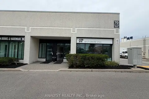
$1,690,000
70 Silton Road 1
East Woodbridge, Vaughan
Industrial · MLS® N13839936 · ANALYST REALTY INC.
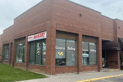
$1,999,900
2 ba
471 Jevlan Drive 1
East Woodbridge, Vaughan
Sale Of Business · MLS® N13483872 · CAPITAL NORTH REALTY CORPORATION
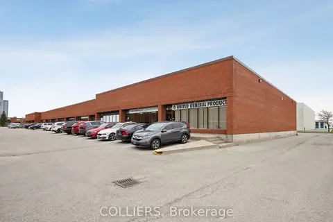
$1,703,805
Reduced $175,650
270 Pennsylvania Avenue 12
Concord, Vaughan
Industrial · MLS® N12729532 · COLLIERS
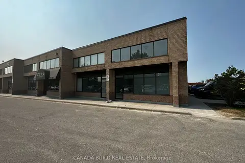
$1,650,000
2 ba
160 Cidermill Avenue 7
Concord, Vaughan
Industrial · MLS® N13502796 · CANADA BUILD REAL ESTATE
$1,639,000
2 ba
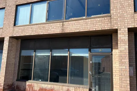
160 Cidermill Avenue 12
Concord, Vaughan
Industrial · MLS® N13867184 · RIGHT AT HOME REALTY
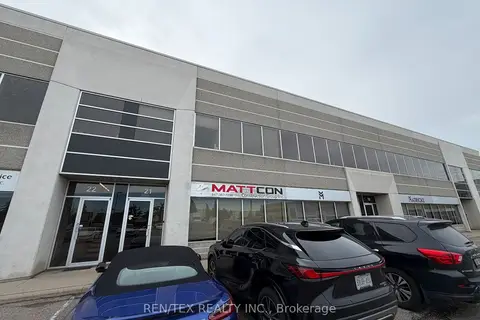
$1,749,000
111 Zenway Boulevard 21
West Woodbridge Industrial Area, Vaughan
Industrial · MLS® N13862062 · REN/TEX REALTY INC.
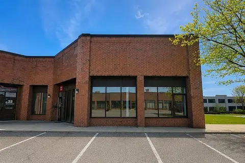
$1,750,000
50 Ritin Lane 24 & 25
Concord, Vaughan
Industrial · MLS® N13513582 · MOVETA REALTY INC.
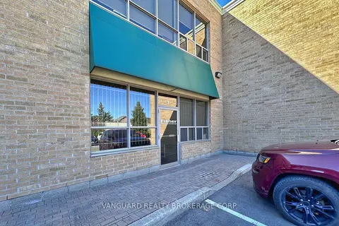
$1,599,999
411 Confederation Parkway 7
Concord, Vaughan
Industrial · MLS® N13539330 · VANGUARD REALTY BROKERAGE CORP.