694 Dundas Street 2
Woodstock - South, Woodstock, N4S 1E6
$1,700/mo
- 2 bedrooms
- 1 bathrooms
- 2 parking
- 1100-1500 sq ft
Listed 35 days ago · MLS® X13786770
About this home
For Lease - A spacious, bright apartment in a central location. This 2 bedroom, 1 bath unit is move-in ready. The well-appointed kitchen opens up to a dining/living room with fireplace. There is also a bonus additional level - a large loft room with brick feature wall. It would be great as a family room or just flex space. All amenities are in walking distance - groceries, pharmacy, take-out, and more. Near the bus terminal for easy transportation. Third floor unit.
Details
- Type
- Upper Level
- Style
- 3-Storey
- Size
- 1100-1500 sq ft
- Basement
- None
- Garage
- None
- Kitchens
- 1
- Neighbourhood
- Woodstock - South
- Municipality
- Woodstock
- Rent increase limit
- Depends on when the unit was first lived in: before Nov. 15, 2018 it’s covered by Ontario’s yearly limit (2.1% in 2026); after, there’s no cap.
Interior
- Bedrooms
- 2 above ground
- Bathrooms
- 1 × 4-piece (third)
- Rooms
- 6 above ground
- Family room or den
- No
- Fireplace
- Natural Gas
- Laundry
- In Area
- Features
- Water Heater Owned
- Furnished
- Unfurnished
Heating, cooling and services
- Heating
- Forced Air, Gas
- Air conditioning
- Central Air
- Water and sewer
- Sewer
Building and exterior
- Style
- 3-Storey
- Exterior
- Brick Front
- Roof
- Flat
- Foundation
- Concrete
- Faces
- North
Parking
- Total parking
- 2
Rental terms
- Rent includes
- Building Maintenance, Interior Maintenance
More
- Possession
- Immediate
- Cross street
- Dundas and Huron
Location
Location is approximate. See nearby homes on the map
The neighbourhood
Getting around Walkable
No subway, LRT or GO station within a short trip.
Within a 10-minute walk: 2 grocery stores, 15 cafés and restaurants, 0 parks, 1 pharmacy. Nearest grocery: Foodland (250 m).
Schools nearby
Elementary
- Winchester Street Public School
EQAO: Gr 6 reading 71%, math 33%14 min walk - Central Public School
EQAO: Gr 6 reading 69%, math 25%16 min walk - Oliver Stephens Public School
EQAO: Gr 6 reading 93%, math 57%18 min walk - Roch Carrier French Immersion Public School
EQAO: Gr 6 reading 97%, math 70%18 min walk
Secondary
- Woodstock Collegiate Institute
EQAO: Gr 9 math 54%, literacy test 88%13 min walk - College Avenue Secondary School
EQAO: Gr 9 math 28%, literacy test 66%15 min walk - Huron Park Secondary School
EQAO: Gr 9 math 52%, literacy test 76%18 min walk
EQAO: share of students meeting the provincial standard (2024–25). Ontario average: Gr 6 reading 86%, math 51%; Gr 9 math 55%; literacy test 83%.
Closest schools, not school zones. Check which school serves this address with the school board before relying on it.
Who lives here postal area N4S
- Owners / renters
- 66% / 34%
- Median household income
- $78,000
- Average age
- 43
- Children under 15
- 16%
- Homes
- 63% detached, 5% high-rise
- Commute by transit
- 1%
- Population
- 33,055
Languages spoken most at home besides English: Punjabi (Panjabi) 0.5%, Polish 0.3%, Spanish 0.3%, Portuguese 0.2%.
Safety
Crime Severity Index for Woodstock police: 62 vs 57 for Ontario (2025).
Police-reported figures for the whole police service area, not this street. Rates use the area’s resident population.
Distances are approximate. Places © OpenStreetMap contributors. Neighbourhood figures: Statistics Canada, 2021 Census. School results: EQAO via Ontario Data Catalogue (Open Government Licence – Ontario). Crime Severity Index: Statistics Canada.
Living here
Commute
Noise Nothing major nearby
No highway within 500 m, rail line within 300 m, or airport flight path nearby.
Distances from the map, not noise measurements. Visit at rush hour to judge for yourself.
Internet High-speed
50/10 Mbps or faster available here by cable, fibre or DSL (the federal high-speed target).
From the federal broadband map. Check exact speeds and providers for the address.
Roads, rail, airports and planned stations © OpenStreetMap contributors. Internet: Innovation, Science and Economic Development Canada, National Broadband Data.
Listed by Century 21 Heritage House Ltd Brokerage.
Listing information provided by PropTx Innovations Inc. and TRREB; deemed reliable but not guaranteed accurate by PropTx.
Similar homes nearby
See more in Woodstock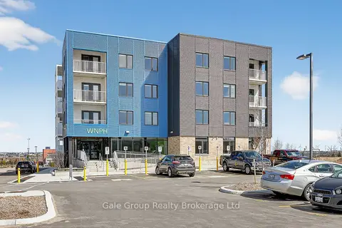
$1,895/mo
2 bd1 ba1 pk700-1100 ft²
785 Southwood Way 301
Woodstock - South, Woodstock
Other · MLS® X13757100 · Gale Group Realty Brokerage Ltd
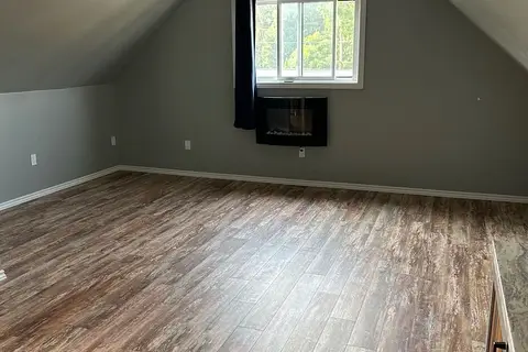
$1,650/mo
1 bd1 ba1 pk1500-2000 ft²
410 Admiral Street
Woodstock - North, Woodstock
Duplex · MLS® X13548024 · RE/MAX a-b Realty Ltd Brokerage
$1,650/mo
2 bd1 ba1 pk700-1100 ft²
595 N Dundas Street N 4
Woodstock - North, Woodstock
Upper Level · MLS® X13738126 · HOMELIFE/MIRACLE REALTY LTD
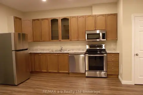
$1,850/mo
3 bd1 ba2 pk700-1100 ft²
350 Dundas Street 5
Woodstock - North, Woodstock
Other · MLS® X13860130 · RE/MAX a-b Realty Ltd Brokerage
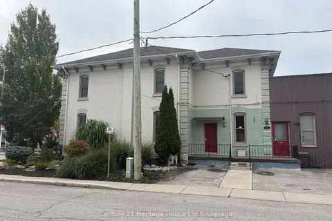
$1,900/mo
0 bd2 ba2 pk1100-1500 ft²
21 Wellington Street N
Woodstock - North, Woodstock
Multiplex · MLS® X13803942 · Century 21 Heritage House Ltd Brokerage
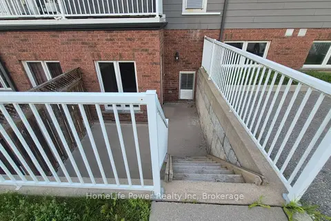
$1,950/mo
2 bd1 ba1 pk700-1100 ft²
225 Riddell Street 22
Woodstock - North, Woodstock
Att/Row/Townhouse · MLS® X13613922 · HomeLife Power Realty Inc
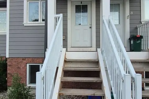
$1,950/mo
2 bd1 ba1 pk700-1100 ft²
225 Riddell Street 5
Woodstock - North, Woodstock
Att/Row/Townhouse · MLS® X13617412 · HomeLife Power Realty Inc
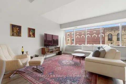
$2,000/mo
2 bd4 ba1 pk700-1100 ft²
391 Dundas Street 3
Woodstock - North, Woodstock
Upper Level · MLS® X13749846 · RE/MAX a-b Realty Ltd Brokerage