6523 Bloomington Road
Rural Whitchurch-Stouffville, Whitchurch-Stouffville, L4A 7X3
$3,599,000
- 0 bedrooms
Listed 42 days ago · MLS® N13753040
About this home
This VACANT Lot has 853 ft of premium wide frontage with incredible sunset views! This lot is located in an area near many multi-million dollar Estates. Many City amenities nearby, Golfing, Musselman's Lake, Go Train, Hwy's 404/407, shopping and restaurants. Vacant Land Opportunity to develop hold or build your Country Estate on a sprawling 25.2 Acre parcel of Land. Property on Clear land with GRAND WIDE VIEWS with no trees in your way. Only a short 10 min drive East on Bloomington to Hwy 404, or 11 min south to 407, the Go Station is only a 5 min drive on 10th Line. Property assembly maybe possible adjacent east lot.
Details
- Type
- Land
- Lot
- 853.57 × 1306.17 ft
- Garage
- None
- Kitchens
- 0
- Property tax
- $3,572 (2026)
- Neighbourhood
- Rural Whitchurch-Stouffville
- Municipality
- Whitchurch-Stouffville
Heating, cooling and services
- Utilities
- Available
Building and exterior
- Building area
- 25 Acres
More
- Possession
- TBD
- Cross street
- Bloomington & Ninth Line
- Business type
- Residential
History of this address
3 earlier listings at this address, with sold and leased prices. Create a free account or sign in to see them.
Location
Location is approximate. See nearby homes on the map
Recent sales nearby
See what similar homes within 1 km sold for in the last year. Create a free account or sign in to see them.
The neighbourhood
Getting around Car-dependent
- 🚆 Old Elm GO2.1 km
Within a 10-minute walk: no grocery stores, 0 cafés and restaurants, 0 parks.
Who lives here postal area L4A
- Owners / renters
- 88% / 12%
- Median household income
- $122,000
- Average age
- 41
- Children under 15
- 19%
- Homes
- 75% detached, 1% high-rise
- Commute by transit
- 3%
- Population
- 50,389
Languages spoken most at home besides English: Yue (Cantonese) 6.1%, Mandarin 3.6%, Tamil 2.8%, Italian 0.5%.
Flood and conservation Regulated area
This address is inside a conservation-authority regulated area (Toronto and Region Conservation Authority): near a valley, stream, shoreline or wetland, where flooding or erosion can occur. New building, additions, pools or grading usually need a permit from the authority.
Screening maps only. Ask the conservation authority for a property inquiry before relying on this.
Safety
Crime Severity Index for York Region police: 50 vs 57 for Ontario (2025).
Police-reported figures for the whole police service area, not this street. Rates use the area’s resident population.
Distances are approximate. Places © OpenStreetMap contributors. Neighbourhood figures: Statistics Canada, 2021 Census. Flood and regulation mapping: Toronto and Region Conservation Authority open data. Crime Severity Index: Statistics Canada.
Living here
Commute
To Union Station (downtown Toronto): 42 km. Transit times · Driving times
Noise Nothing major nearby
No highway within 500 m, rail line within 300 m, or airport flight path nearby.
Distances from the map, not noise measurements. Visit at rush hour to judge for yourself.
Internet High-speed
50/10 Mbps or faster available here by cable, fibre or DSL (the federal high-speed target).
From the federal broadband map. Check exact speeds and providers for the address.
Roads, rail, airports and planned stations © OpenStreetMap contributors. Internet: Innovation, Science and Economic Development Canada, National Broadband Data.
Listed by CENTURY 21 HERITAGE GROUP LTD..
Listing information provided by PropTx Innovations Inc. and TRREB; deemed reliable but not guaranteed accurate by PropTx.
Similar homes nearby
See more in Whitchurch-Stouffville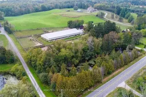
$3,999,000
4 ba
3563 Vandorf Side Road
Rural Whitchurch-Stouffville, Whitchurch-Stouffville
Farm · MLS® N13522202 · MASTER`S TRUST REALTY INC.
$4,000,000
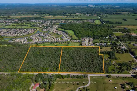
5844 & 5912 Aurora Road
Rural Whitchurch-Stouffville, Whitchurch-Stouffville
Land · MLS® N13749770 · HOMELIFE/BAYVIEW REALTY INC.
$2,975,000
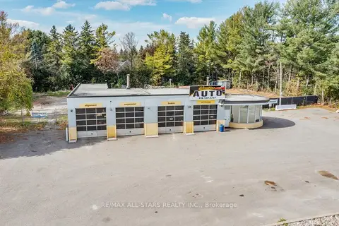
14806 Woodbine Avenue
Rural Whitchurch-Stouffville, Whitchurch-Stouffville
Commercial Retail · MLS® N13679558 · RE/MAX ALL-STARS REALTY INC.
$2,940,000
Reduced $2,040,000
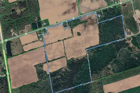
5669 Davis Drive
Rural Whitchurch-Stouffville, Whitchurch-Stouffville
Farm · MLS® N12432938 · RE/MAX ALL-STARS REALTY INC.
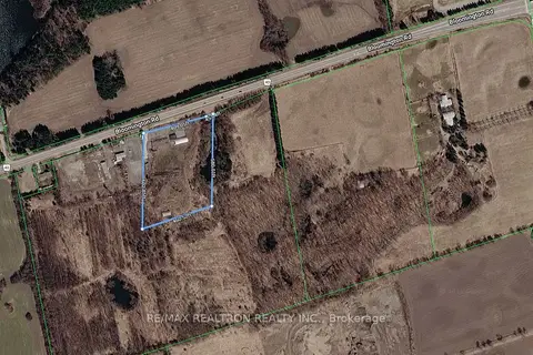
$2,880,000
2737 Bloomington Road
Rural Whitchurch-Stouffville, Whitchurch-Stouffville
Land · MLS® N13774624 · RE/MAX REALTRON REALTY INC.
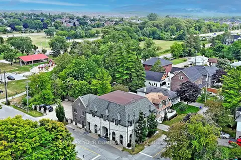
$3,828,000
7 ba
42 Somerville Street
Stouffville, Whitchurch-Stouffville
Investment · MLS® N12946174 · REMAX YOUR COMMUNITY REALTY
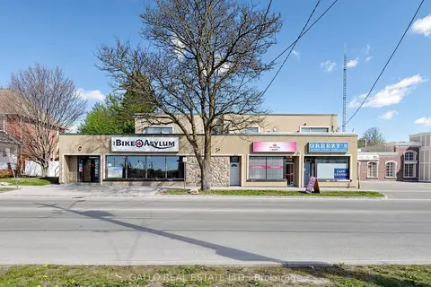
$3,350,000
Reduced $649,000
6376-6388 Main Street
Stouffville, Whitchurch-Stouffville
Commercial Retail · MLS® N13162882 · GALLO REAL ESTATE LTD.