649 upperjames Street
Centremount, Hamilton, L9C 2Y9
$2,200,000
Listed 4 days ago · MLS® X14088924
About this home
Situated in the heart of the primary commercial district in Hamilton. Traffic volume is among the highest in Hamilton, and excellent visibility and strong "Drive -by" exposure . With a solid established local residential population in the surrounding area and the nearby Mohawk College Fennel Campus, there is a steady influx of young students and faculty members. Property that is easy to take care. Parking lot paving newly in 2026. A highly advantageous location for commercial purposes. Unit 1 - Convenience store (1,842 sq ft) , Unit 2 - Telus (616 Sq ft) , Unit 3- Pita pit (935 Sq ft ). -These are here in long-term tenants. Roof - Asphalt shingles and Metal which is in very good condition. Parking lot paving newly in 2026. Rent roll will be provided after confidentiality agreement is signed. Do not ask any business owner and do not go in any unit to look without confirm for showing.
Details
- Type
- Commercial Retail
- Lot
- 103.76 × 143.58 ft
- Garage
- Plaza
- Property tax
- $33,600 (2026)
- Neighbourhood
- Centremount
- Municipality
- Hamilton
Heating, cooling and services
- Heating
- Gas Forced Air Closed
- Air conditioning
- Yes
- Utilities
- Yes
Building and exterior
- Building area
- 13,498 Square Feet
More
- Possession
- Flexible
- Cross street
- Upperjames st / Fennel ave W
Location
Location is approximate. See nearby homes on the map
Recent sales nearby
See what similar homes within 1 km sold for in the last year. Create a free account or sign in to see them.
The neighbourhood
Getting around Very walkable
- 🚆 Hamilton GO Centre1.8 km
Within a 10-minute walk: 5 grocery stores, 14 cafés and restaurants, 6 parks, 4 pharmacies. Nearest grocery: Bulk Barn (150 m). Nearest park: Auchmar Estate (350 m).
Schools nearby
Elementary
- Sts. Peter and Paul Catholic Elementary School Catholic
EQAO: Gr 6 reading 89%, math 51%3 min walk - Queensdale School
EQAO: Gr 6 reading 76%, math 39%9 min walk - Norwood Park Elementary School
EQAO: Gr 6 reading 98%, math 72%14 min walk - Buchanan Park School
EQAO: Gr 6 reading 88%, math 62%16 min walk
Secondary
- Hillfield Strathallan College Private1.5 km
- Hill Park Learning Centre1.5 km
- St. Charles Adult & Continuing Education Centre - Downtown Campus Catholic1.6 km
EQAO: share of students meeting the provincial standard (2024–25). Ontario average: Gr 6 reading 86%, math 51%; Gr 9 math 55%; literacy test 83%.
Closest schools, not school zones. Check which school serves this address with the school board before relying on it.
Who lives here postal area L9C
- Owners / renters
- 71% / 29%
- Median household income
- $92,000
- Average age
- 42
- Children under 15
- 15%
- Homes
- 62% detached, 10% high-rise
- Commute by transit
- 7%
- Population
- 41,202
Languages spoken most at home besides English: Arabic 2.4%, Spanish 1.5%, Italian 1.3%, Mandarin 1.1%.
Flood and conservation No mapped hazard
Not inside a mapped flood plain or regulated area in Niagara Peninsula Conservation’s mapping.
Screening maps only. Ask the conservation authority for a property inquiry before relying on this.
Safety
Crime Severity Index for Hamilton police: 62 vs 57 for Ontario (2025).
Police-reported figures for the whole police service area, not this street. Rates use the area’s resident population.
Distances are approximate. Places © OpenStreetMap contributors. Neighbourhood figures: Statistics Canada, 2021 Census. School results: EQAO via Ontario Data Catalogue (Open Government Licence – Ontario). Flood and regulation mapping: Niagara Peninsula Conservation open data. Crime Severity Index: Statistics Canada.
Living here
Commute
To downtown Hamilton: 2 km. Transit times · Driving times
Noise Nothing major nearby
No highway within 500 m, rail line within 300 m, or airport flight path nearby.
Distances from the map, not noise measurements. Visit at rush hour to judge for yourself.
Internet High-speed
50/10 Mbps or faster available here by cable, fibre or DSL (the federal high-speed target).
From the federal broadband map. Check exact speeds and providers for the address.
Roads, rail, airports and planned stations © OpenStreetMap contributors. Internet: Innovation, Science and Economic Development Canada, National Broadband Data.
Listed by CENTURY 21 KING`S QUAY REAL ESTATE INC..
Listing information provided by PropTx Innovations Inc. and TRREB; deemed reliable but not guaranteed accurate by PropTx.
Similar homes nearby
See more in Hamilton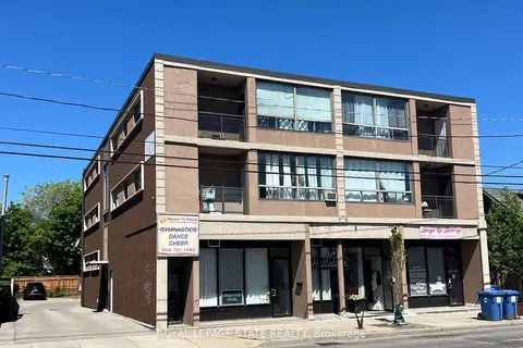
$2,449,000
600 Upper Wellington Street
Centremount, Hamilton
Investment · MLS® X13484384 · ROYAL LEPAGE STATE REALTY
$2,250,000
Reduced $1,650,000
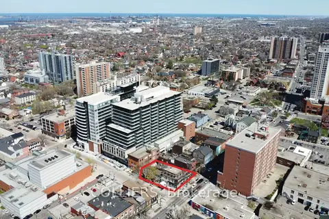
249-255 King Street E
Beasley, Hamilton
Store W Apt/Office · MLS® X12192199 · COLLIERS

$2,270,000
323 Upper Wentworth Street
Eastmount, Hamilton
Commercial Retail · MLS® X13871440 · RE/MAX REALTY SPECIALISTS INC.
$2,100,000
Reduced $599,900
4 ba
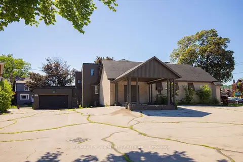
1309 King Street E
Crown Point, Hamilton
Commercial Retail · MLS® X13446830 · RE/MAX ESCARPMENT REALTY INC.
$2,100,000
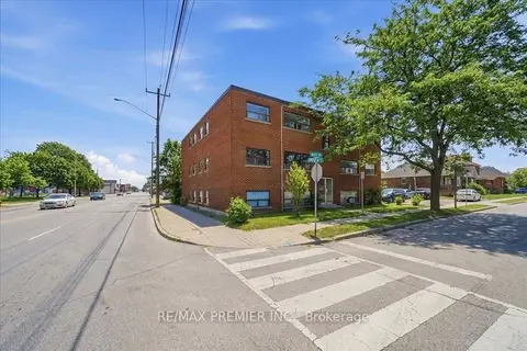
280 Weir Street N
Homeside, Hamilton
Investment · MLS® X13527118 · RE/MAX PREMIER INC.
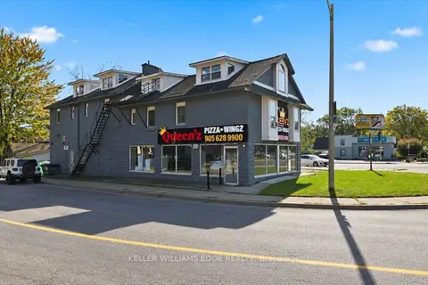 New
$2,300,000
72 King Street E
Dundas, Hamilton
Commercial Retail · MLS® X14095336 · KELLER WILLIAMS EDGE REALTY
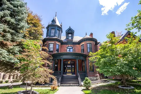
$2,350,000
183 James Street S
Corktown, Hamilton
Commercial Retail · MLS® X14079878 · Corcoran Horizon Realty
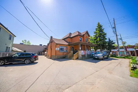
$2,379,900
Reduced $620,099
323 Upper Wentworth Street
Eastmount, Hamilton
Commercial Retail · MLS® X13235502 · RE/MAX ABOUTOWNE REALTY CORP.