635 Victoria Street
22 - East of Sir John A. Blvd, Kingston, K7K 4S3
$457,500
- 4 bedrooms
- 2 bathrooms
- 4 parking
- 1100-1500 sq ft
Listed 49 days ago · MLS® X13730788
About this home
Welcome to 635 Victoria Street, a well kept 2 storey home offering a convenient central location close to everyday amenities, transit, parks, and shopping. Currently rented month to month at $2,600/month utilities included, this property provides flexibility for both investors and future owner occupiers. Inside, the home features 4 bedrooms and 2 full bathrooms, offering comfortable space for families, students, or shared living arrangements. The layout is functional and bright, with good flow between living areas and bedrooms. Recent updates include a new gas hot water tank (2025) and a new sump pump (2026), adding peace of mind for the next owner. Utilities average approximately $400/month, making the home efficient and predictable to maintain. The property also offers parking for up to 3 vehicles, a valuable feature in this neighbourhood. Set in a convenient, amenity rich neighbourhood with easy access to shopping, parks, and daily essentials, this home delivers comfort, practicality, and strong future potential.
Details
- Type
- Detached
- Style
- 2-Storey
- Age
- 100+ years
- Size
- 1100-1500 sq ft
- Lot
- 33 × 132 ft
- Basement
- Unfinished
- Garage
- None
- Kitchens
- 1
- Property tax
- $3,943 (2026)
- Neighbourhood
- 22 - East of Sir John A. Blvd
- Municipality
- Kingston
- Price per sq ft
- $352 (18% below detached houses in 22 - East of Sir John A. Blvd, $431)
Interior
- Bedrooms
- 4 above ground
- Bathrooms
- 1 × 3-piece (upper), 1 × 4-piece (upper)
- Rooms
- 10 above ground
- Family room or den
- No
- Fireplace
- No
- Features
- Carpet Free, Water Heater Owned
Heating, cooling and services
- Heating
- Water
- Water and sewer
- Sewer
Building and exterior
- Style
- 2-Storey
- Exterior
- Vinyl Siding
- Roof
- Asphalt Shingle
- Foundation
- Stone
- Age
- 100+
- Faces
- West
- Outdoor
- Year Round Living
Parking
- Total parking
- 4
- Driveway and parking
- Available, Mutual
Lot
- Size
- 33 × 132 ft (rectangular)
More
- Possession
- Flexible
- Nearby
- Level, Hospital, Park, Public Transit, School, School Bus Route
- Cross street
- Victoria Street & Princes Street
History of this address
4 earlier listings at this address, with sold and leased prices. Create a free account or sign in to see them.
Location
Location is approximate. See nearby homes on the map
Recent sales nearby
See what similar homes within 1 km sold for in the last year. Create a free account or sign in to see them.
The neighbourhood
Getting around Very walkable
No subway, LRT or GO station within a short trip.
Within a 10-minute walk: 3 grocery stores, 20 cafés and restaurants, 11 parks, 4 pharmacies. Nearest grocery: Asian Food World (250 m). Nearest park: Memorial Centre (250 m).
Schools nearby
Elementary
- Rideau Public School
EQAO: Gr 6 reading 91%, math 59%7 min walk - Winston Churchill Public School
EQAO: Gr 6 reading 97%, math 75%1.2 km - Cathedrale Catholic School Catholic
EQAO: Gr 6 reading 92%, math 54%1.3 km - Central Public School
EQAO: Gr 6 reading 94%, math 65%1.5 km
Secondary
- Katarokwi Learning Centre13 min walk
- Regiopolis-Notre Dame Catholic High School Catholic
EQAO: Gr 9 math 61%, literacy test 83%13 min walk - École secondaire publique Mille-Iles French16 min walk
EQAO: share of students meeting the provincial standard (2024–25). Ontario average: Gr 6 reading 86%, math 51%; Gr 9 math 55%; literacy test 83%.
Closest schools, not school zones. Check which school serves this address with the school board before relying on it.
Who lives here postal area K7K
- Owners / renters
- 44% / 56%
- Median household income
- $67,000
- Average age
- 40
- Children under 15
- 15%
- Homes
- 36% detached, 13% high-rise
- Commute by transit
- 7%
- Population
- 33,705
Languages spoken most at home besides English: Portuguese 0.7%, Mandarin 0.5%, Arabic 0.5%, Spanish 0.4%.
Safety
Crime Severity Index for Kingston police: 69 vs 57 for Ontario (2025).
Police-reported figures for the whole police service area, not this street. Rates use the area’s resident population.
Distances are approximate. Places © OpenStreetMap contributors. Neighbourhood figures: Statistics Canada, 2021 Census. School results: EQAO via Ontario Data Catalogue (Open Government Licence – Ontario). Crime Severity Index: Statistics Canada.
Living here
Commute
Noise Nothing major nearby
No highway within 500 m, rail line within 300 m, or airport flight path nearby.
Distances from the map, not noise measurements. Visit at rush hour to judge for yourself.
Internet High-speed
50/10 Mbps or faster available here by cable, fibre or DSL (the federal high-speed target).
From the federal broadband map. Check exact speeds and providers for the address.
Roads, rail, airports and planned stations © OpenStreetMap contributors. Internet: Innovation, Science and Economic Development Canada, National Broadband Data.
Listed by ROYAL LEPAGE PROALLIANCE REALTY, BROKERAGE.
Listing information provided by PropTx Innovations Inc. and TRREB; deemed reliable but not guaranteed accurate by PropTx.
Similar homes nearby
See more in Kingston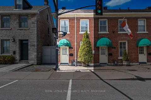
$460,000
2 bd2 ba1100-1500 ft²
270 Wellington Street
22 - East of Sir John A. Blvd, Kingston
Att/Row/Townhouse · MLS® X13772930 · ROYAL LEPAGE PROALLIANCE REALTY, BROKERAGE
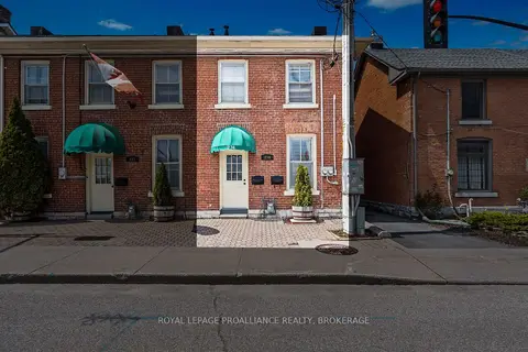
$460,000
1 bd3 ba2 pk700-1100 ft²
274 Wellington Street
22 - East of Sir John A. Blvd, Kingston
Att/Row/Townhouse · MLS® X13772952 · ROYAL LEPAGE PROALLIANCE REALTY, BROKERAGE
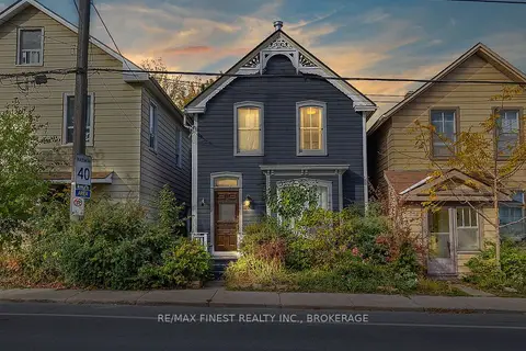
$449,900
3 bd2 ba1100-1500 ft²
202 Montreal Street
22 - East of Sir John A. Blvd, Kingston
Detached · MLS® X13801506 · RE/MAX FINEST REALTY INC., BROKERAGE
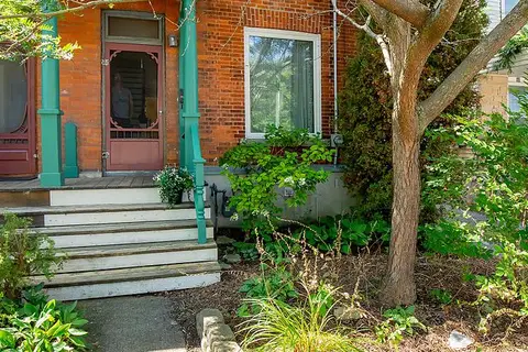
$474,900
Reduced $25,000
3 bd1 ba1 pk1100-1500 ft²
38 York Street
22 - East of Sir John A. Blvd, Kingston
Att/Row/Townhouse · MLS® X13746304 · ROYAL LEPAGE PROALLIANCE REALTY, BROKERAGE
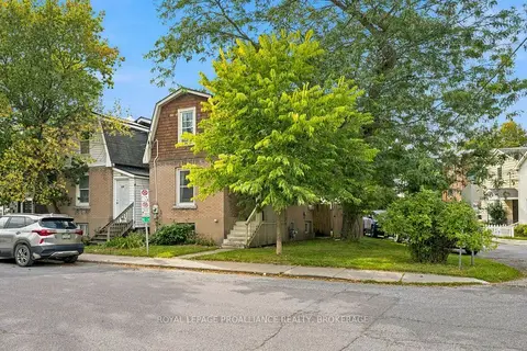
$475,000
2 bd1 ba1 pk700-1100 ft²
384 Barrie Street
22 - East of Sir John A. Blvd, Kingston
Detached · MLS® X13793296 · ROYAL LEPAGE PROALLIANCE REALTY, BROKERAGE
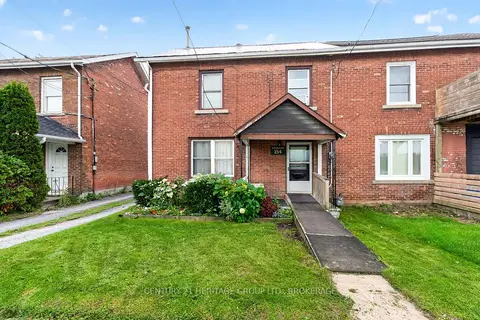
$475,000
2 bd2 ba6 pk1500-2000 ft²
154 Stephen Street
22 - East of Sir John A. Blvd, Kingston
Semi-Detached · MLS® X13835222 · CENTURY 21 HERITAGE GROUP LTD., BROKERAGE
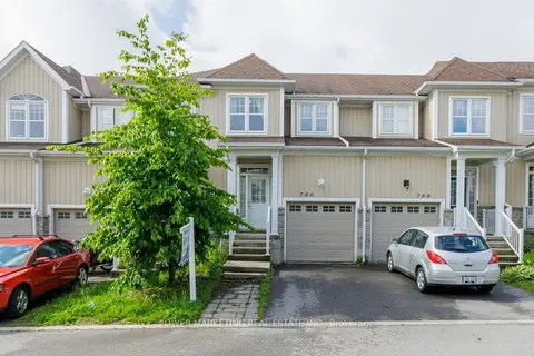
$439,000
3 bd2 ba2 pk1100-1500 ft²
786 NEWMARKET Lane
22 - East of Sir John A. Blvd, Kingston
Att/Row/Townhouse · MLS® X13864622 · POWER MARKETING REAL ESTATE INC.
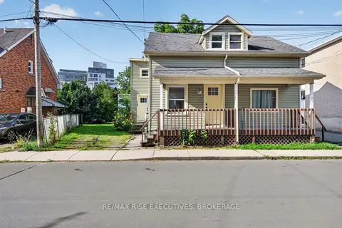
$479,000
Reduced $20,000
4 bd2 ba1 pk1100-1500 ft²
48 Elm Street
22 - East of Sir John A. Blvd, Kingston
Semi-Detached · MLS® X13723456 · RE/MAX RISE EXECUTIVES, BROKERAGE