600 Parliament Street
North St. James Town, Toronto, M4X 1R2
$5,800,000
Listed 90 days ago · MLS® C13591754
About this home
7% Plus Return In Downtown Toroto , An Exceptional Investment Opportunity Awaits At 600 Parliament Street, Ideally Situated In Vibrant Downtown Core. This 4,300 Sq.Ft.+ Income-Producing Property Offers Established Short- And Long-Term Leases, Providing Strong Occupancy And Reliable Cash Flow From A Diverse Tenant Base. This Building Features 10 Rental Units, It Presents A Rare Opportunity To Significantly Increase Rental Income And Take Advantage Of Toronto's Rapidly Growing Demand For Flexible Investments Options. In This High-Density Urban Area, The Property Delivers Immediate Income Stability While Offering An Established Laundromat with Strong Revenue, A Trusted Community Staple Serving Both Tenants And Local Residents. With Many Nearby Apartment Buildings Lacking In-Unit Laundry, The Business Attracts A Loyal, Repeat Customer Base, Generating Consistent Secondary Income That Perfectly Complements This Property Achieves An Impressive 7%+ Return And Potential Future Service Expansion.
Details
- Type
- Investment
- Lot
- 20.37 × 110.39 ft
- Garage
- Outside/Surface
- Property tax
- $25,888 (2025)
- Neighbourhood
- North St. James Town
- Municipality
- Toronto C08
Heating, cooling and services
- Heating
- Gas Forced Air Open
- Air conditioning
- Yes
- Utilities
- Yes
Building and exterior
- Building area
- 4,919 Square Feet
More
- Possession
- Flexible
- Cross street
- Parliament/Wellesley
History of this address
1 earlier listing at this address, with sold and leased prices. Create a free account or sign in to see them.
Location
Location is approximate. See nearby homes on the map
Recent sales nearby
See what similar homes within 1 km sold for in the last year. Create a free account or sign in to see them.
The neighbourhood
Getting around Very walkable
- 🚇 Castle Frank Subway9 min walk
- 🚇 Sherbourne Subway10 min walk
- 🚆 Toronto Union Station GO2.8 km
Within a 10-minute walk: 11 grocery stores, 89 cafés and restaurants, 16 parks, 22 pharmacies. Nearest grocery: Ambal Trading (150 m). Nearest park: Winchester Park (350 m).
Schools nearby
Elementary
- Rose Avenue Junior Public School
EQAO: Gr 6 reading 67%, math 14%4 min walk - Winchester Junior and Senior Public School
EQAO: Gr 6 reading 89%, math 57%4 min walk - Our Lady of Lourdes Catholic School Catholic
EQAO: Gr 6 reading 80%, math 43%7 min walk - Sprucecourt Junior Public School
EQAO: Gr 6 reading 85%, math 25%11 min walk
Secondary
- Msgr Fraser College - Isabella Campus Catholic9 min walk
- Jarvis Collegiate Institute
EQAO: Gr 9 math 34%, literacy test 80%10 min walk - Rosedale Heights School of the Arts
EQAO: Gr 9 math 66%, literacy test 95%11 min walk
EQAO: share of students meeting the provincial standard (2024–25). Ontario average: Gr 6 reading 86%, math 51%; Gr 9 math 55%; literacy test 83%.
Closest schools, not school zones. Check which school serves this address with the school board before relying on it.
Who lives here postal area M4X
- Owners / renters
- 15% / 85%
- Median household income
- $58,800
- Average age
- 41
- Children under 15
- 12%
- Homes
- 1% detached, 81% high-rise
- Commute by transit
- 44%
- Population
- 19,896
Languages spoken most at home besides English: Tagalog (Pilipino, Filipino) 5.2%, Tamil 2.7%, Spanish 1.6%, Mandarin 1.3%.
Flood and conservation No mapped hazard
Not inside a mapped flood plain or regulated area.
Screening maps only. Ask the conservation authority for a property inquiry before relying on this.
Safety
Major crime per resident in North St.James Town (2025): 24% above the Toronto average, about the same from the year before.
- Assault67% above average
- Break and enterabout average
- Auto theft62% below average
- Robberyabout average
- Theft from vehicles35% below average
- Shootings48% below average
Crime Severity Index for Toronto police: 60 vs 57 for Ontario (2025).
Police-reported figures for the whole neighbourhood, not this street. Rates use the area’s resident population.
Development nearby 4 active
-
240 WELLESLEY ST E · 150 mPlan of Subdivision · Under Review · applied 2024Draft Plan of Subdivision to establish two development blocks with pedestrian and vehicular connections into and through the subject site. A new public park…Application details
-
509 PARLIAMENT ST · 400 mOfficial Plan / Zoning By-law Amendment · OMB Appeal · applied 2023Zoning By-law Amendment law to permit the development of site for a 10-storey mixed-use building (38.6 metres) with retail at-grade (278 square metres) and 60…Application details
-
240 WELLESLEY ST E · 150 mSite Plan · Under Review · applied 2022Site Plan Approval application to permit three new buildings on the lands, comprising a 47-storey mixed-use building with 5,770 square metres of…Application details
-
545 SHERBOURNE ST · 400 mSite Plan · NOAC Issued · applied 2018Site Plan Control application for a 51-storey mixed use building with a GFA of 35,000 sq. m with 499 sq. m of retail space and 511 residential units, and the…Application details
-
77 HOWARD ST · 350 mOfficial Plan / Zoning By-law Amendment · Closed · applied 2025Zoning By-law Amednement for a 41-storey infill mixed-use building while maintaining the existing 24-storey rental apartment building on site. The proposed new…Application details
-
215 WELLESLEY ST E · 300 mSite Plan · Closed · applied 2022The proposed development contains 32 affordable housing units, plus a single transitional unit containing 16 beds, and includes office uses at the ground floor…Application details
1 more within 500 m.
Rezoning, site plan, subdivision and condominium applications filed with the city.
Distances are approximate. Places © OpenStreetMap contributors. Neighbourhood figures: Statistics Canada, 2021 Census. School results: EQAO via Ontario Data Catalogue (Open Government Licence – Ontario). Neighbourhood crime: Toronto Police Service Public Safety Data Portal (Open Government Licence – Toronto Police Service). Crime Severity Index: Statistics Canada. Planning applications: City of Toronto open data.
Living here
Commute
To Union Station (downtown Toronto): 3 km. Transit times · Driving times
Coming transit
- 🚧 Moss Park 1.6 km
- 🚧 Distillery District 1.9 km
- 🚧 Queen 1.9 km
Stations under construction or approved. Opening dates are the latest public estimates and often move.
Noise Nothing major nearby
No highway within 500 m, rail line within 300 m, or airport flight path nearby.
Distances from the map, not noise measurements. Visit at rush hour to judge for yourself.
What can be built R
Residential (with a site-specific exception).
- ✅ Up to 6 homes on the lot (multiplex): a sixplex ward
- ✅ Garden suite in the backyard
- ✅ Laneway suite, if the lot backs onto a lane
From Toronto’s Zoning By-law 569-2013 map. Lot size, setbacks and trees decide what actually fits; check with a planner before you buy.
Building permits
- Interior Alterations · 2023 · InspectionProposal for interior alterations.
- Underpinning · 2019 · CancelledProposal to underpin the foundation (crawl space) in an existing mixed use building. No other work under this permit. Also refer to 18…
- Multiple Projects · 2018 · ClosedProposal for 2nd and 3rd storey addition at rear of the existing building (2nd and 3rd floor form part of a single dwelling unit), one rear…
2 permits on this block of the street in the last 2 years.
Permits filed with the City of Toronto. A permit doesn’t mean the work passed final inspection.
Trees
20 City street trees within 100 m, mostly maples. That’s fewer than the Toronto average of 42.
Trees on City boulevards only, not private yards or parks.
Internet High-speed
50/10 Mbps or faster available here by cable, fibre or DSL (the federal high-speed target).
From the federal broadband map. Check exact speeds and providers for the address.
Zoning, heritage, building permits and street trees: City of Toronto open data (Open Government Licence – Toronto). Roads, rail, airports and planned stations © OpenStreetMap contributors. Internet: Innovation, Science and Economic Development Canada, National Broadband Data.
Listed by FIRST CLASS REALTY INC..
Listing information provided by PropTx Innovations Inc. and TRREB; deemed reliable but not guaranteed accurate by PropTx.
Similar homes nearby
See more in Toronto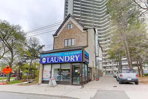
$5,800,000
12 ba
600 Parliament Street
North St. James Town, Toronto
Sale Of Business · MLS® C13592534 · FIRST CLASS REALTY INC.
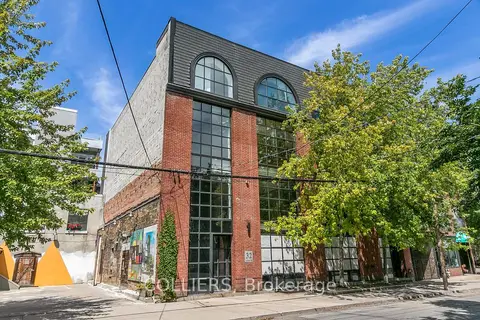
$5,750,000
32 Britain Street
Moss Park, Toronto
Office · MLS® C13752340 · COLLIERS
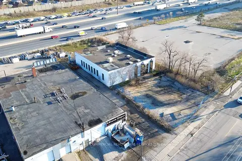
$5,750,000
Reduced $200,000
168 Bridgeland Avenue
Yorkdale-Glen Park, Toronto
Commercial Retail · MLS® W12978898 · AVISON YOUNG COMMERCIAL REAL ESTATE SERVICES, LP
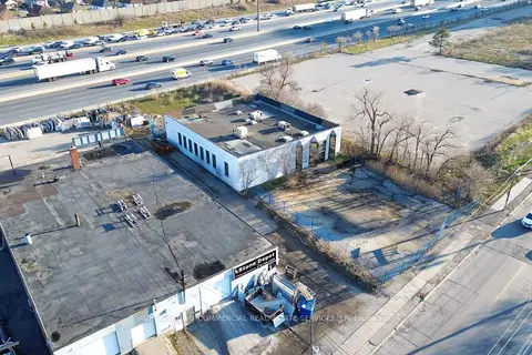
$5,750,000
Reduced $200,000
168 Bridgeland Avenue
Yorkdale-Glen Park, Toronto
Land · MLS® W12978906 · AVISON YOUNG COMMERCIAL REAL ESTATE SERVICES, LP
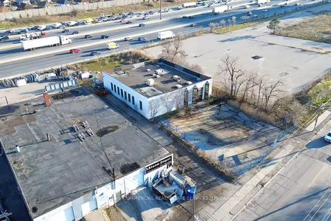
$5,750,000
Reduced $200,000
168 Bridgeland Avenue
Yorkdale-Glen Park, Toronto
Office · MLS® W12978908 · AVISON YOUNG COMMERCIAL REAL ESTATE SERVICES, LP
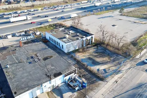
$5,750,000
Reduced $200,000
168 Bridgeland Avenue
Yorkdale-Glen Park, Toronto
Industrial · MLS® W12978914 · AVISON YOUNG COMMERCIAL REAL ESTATE SERVICES, LP
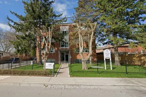 New
$5,750,000
100 Browns Line
Alderwood, Toronto
Investment · MLS® W14095902 · KW Living Realty
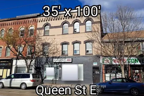
$5,900,000
250 Queen Street E
Moss Park, Toronto
Commercial Retail · MLS® C12554114 · CENTURY 21 HERITAGE GROUP LTD.