60 Montclair Avenue 404
Forest Hill South, Toronto, M5P 1P7 · More in this building
$2,200/mo
- 1 bedrooms
- 1 bathrooms
- 0 parking
- 700-799 sq ft
Listed 9 days ago · MLS® C13885420
About this home
The condo is fully renovated and currently vacant. It features laminate flooring, an updated bathroom, and a modern kitchen with an island. Parking is available at $200/month.
Details
- Type
- Condo Apartment
- Style
- Apartment
- Age
- 51-99 years
- Size
- 700-799 sq ft
- Basement
- None
- Garage
- Underground
- Kitchens
- 1
- Neighbourhood
- Forest Hill South
- Municipality
- Toronto C03
- Rent increase limit
- Covered by Ontario’s yearly limit (2.1% in 2026): the building is older than Nov. 2018.
Interior
- Bedrooms
- 1 above ground
- Bathrooms
- 1 × 4-piece (flat)
- Rooms
- 4 above ground
- Family room or den
- No
- Fireplace
- No
- Laundry
- Ensuite
- Furnished
- Partially
Heating, cooling and services
- Heating
- Water
Building and exterior
- Style
- Apartment
- Exterior
- Brick
- Age
- 51-99 years
Condo
- Amenities
- Bike Storage, Rooftop Deck/Garden, Visitor Parking
- Locker
- Exclusive
- Balcony
- Open
- Exposure
- South
- Pets
- Yes-with Restrictions
- Property manager
- Montclair Co. Ownership Inc.
Rental terms
- Rent includes
- Heat, Parking, Building Insurance, Central Air Conditioning, Water
More
- Possession
- Immediate
- Nearby
- Cul de Sac/Dead End, Park, Place Of Worship, Public Transit, Rec./Commun.Centre, School
- Cross street
- Spadina Rd & St Clair Ave W
Rooms
| Room | Level | Size | Features |
|---|---|---|---|
| Living Room | Ground | 4.17 × 5.79 m (13'8" × 19') | Hardwood Floor, W/O To Balcony, South View |
| Dining Room | Ground | 4.17 × 5.79 m (13'8" × 19') | Hardwood Floor, Open Concept, Combined w/Living |
| Kitchen | Ground | 3.05 × 2.29 m (10' × 7'6") | Tile Floor, Double Doors, Separate Room |
| Primary Bedroom | Ground | 3.18 × 4.27 m (10'5" × 14') | Hardwood Floor, B/I Vanity, South View |
| Bathroom | Ground | 1.52 × 2.18 m (5' × 7'2") | Tile Floor, Soaking Tub, 4 Pc Bath |
History of this address
2 earlier listings at this address, with sold and leased prices. Create a free account or sign in to see them.
Location
Location is approximate. See nearby homes on the map
The neighbourhood
Getting around Very walkable
- 🚇 St. Clair West Subway5 min walk
- 🚇 Dupont Subway1.5 km
- 🚆 Toronto Union Station GO5.5 km
Within a 10-minute walk: 4 grocery stores, 24 cafés and restaurants, 14 parks, 8 pharmacies. Nearest grocery: Kitchen Table (100 m). Nearest park: Montclair Avenue Parkette (100 m).
Schools nearby
Elementary
- Holy Rosary Catholic School Catholic
EQAO: Gr 6 reading 100%, math 55%5 min walk - Bishop Strachan School Private7 min walk
- Forest Hill Junior and Senior Public School
EQAO: Gr 6 reading 94%, math 90%13 min walk - Upper Canada College Private15 min walk
Secondary
- De La Salle College "Oaklands" Private1.4 km
EQAO: share of students meeting the provincial standard (2024–25). Ontario average: Gr 6 reading 86%, math 51%; Gr 9 math 55%; literacy test 83%.
Closest schools, not school zones. Check which school serves this address with the school board before relying on it.
Who lives here postal area M5P
- Owners / renters
- 39% / 61%
- Median household income
- $99,000
- Average age
- 44
- Children under 15
- 12%
- Homes
- 25% detached, 41% high-rise
- Commute by transit
- 26%
- Population
- 19,791
Languages spoken most at home besides English: Spanish 1.5%, Mandarin 1.2%, Tagalog (Pilipino, Filipino) 1%, Iranian Persian 0.7%.
Flood and conservation No mapped hazard
Not inside a mapped flood plain or regulated area.
Screening maps only. Ask the conservation authority for a property inquiry before relying on this.
Safety
Major crime per resident in Forest Hill South (2025): 41% below the Toronto average, down 29% from the year before.
- Assault74% below average
- Break and enter73% above average
- Auto theft53% below average
- Robberyabout average
- Theft from vehicles38% below average
- Shootingsnone reported
Crime Severity Index for Toronto police: 60 vs 57 for Ontario (2025).
Police-reported figures for the whole neighbourhood, not this street. Rates use the area’s resident population.
Development nearby 4 active
-
1 THELMA AVE · 200 mSite Plan · Under Review · applied 2026Site Plan Approval for a 7-storey residential building, with 16 dwelling units, 49 vehicle parking spaces, and 10 bicylce parking spaces.Application details
-
271 RUSSELL HILL RD · 450 mSite Plan · Under Review · applied 2026Site Plan Amendment to 08 150183 STE 22 SAApplication details
-
429 WALMER RD · 250 mSite Plan · Under Review · applied 2022May 2023 resubmission: The application has been revised as follows: A 73.5 metre (19-storey inclusive of mechanical penthouse) mixed-use building is proposed…Application details
-
390 SPADINA RD · 0 mOfficial Plan / Zoning By-law Amendment · Council Approved · applied 2015A 6-storey mixed use building containing retail units at ground level and 33 residential units above, approved by the Ontario Land Tribunal on May 10, 2018.The…
-
390 SPADINA RD · 0 mOfficial Plan / Zoning By-law Amendment · Closed · applied 2025The Proposed Development, and Zoning By-law Amendment, is comprised of a new 14-storey mixed use building with ground floor retail uses and residential uses on…Application details
-
270 HEATH ST W · 250 mSite Plan · Closed · applied 2024Site Plan Approval for one storey building for the fan plant adjacent to the north exit of St. Clair West Station (8 Tichester Road) and within Cedarvale Park.…Application details
3 more within 500 m.
Rezoning, site plan, subdivision and condominium applications filed with the city.
Distances are approximate. Places © OpenStreetMap contributors. Neighbourhood figures: Statistics Canada, 2021 Census. School results: EQAO via Ontario Data Catalogue (Open Government Licence – Ontario). Neighbourhood crime: Toronto Police Service Public Safety Data Portal (Open Government Licence – Toronto Police Service). Crime Severity Index: Statistics Canada. Planning applications: City of Toronto open data.
Living here
Commute
To Union Station (downtown Toronto): 5 km. Transit times · Driving times
Noise Nothing major nearby
No highway within 500 m, rail line within 300 m, or airport flight path nearby.
Distances from the map, not noise measurements. Visit at rush hour to judge for yourself.
What can be built R
Residential (with a site-specific exception).
- ✅ Up to 6 homes on the lot (multiplex): a sixplex ward
- ✅ Garden suite in the backyard
- ✅ Laneway suite, if the lot backs onto a lane
From Toronto’s Zoning By-law 569-2013 map. Lot size, setbacks and trees decide what actually fits; check with a planner before you buy.
Building permits
- Garage Repair/Reconstruction · 2026 · InspectionConcrete repairs to the walls and roof of the parking garage
- Fire Alarm · 2026 · Permit IssuedPROPOSED REPLACEMENT OF FIRE ALARM CONTROL PANEL
- Interior Alterations · 2024 · InspectionProposed addition of den and new stacked laundry in apartment suite.
- Interior Alterations · 2023 · InspectionProposed interior wall demolition and alterations to combine convert three bedrooms into two bedrooms.
- Balcony/Guard Repairs · 2022 · InspectionProposal for balcony and envelope remediation.
4 permits on this block of the street in the last 2 years, including 2 new homes.
Permits filed with the City of Toronto. A permit doesn’t mean the work passed final inspection.
Trees
95 City street trees within 100 m, mostly maples. That’s more than the Toronto average of 42.
Trees on City boulevards only, not private yards or parks.
Internet High-speed
50/10 Mbps or faster available here by cable, fibre or DSL (the federal high-speed target).
From the federal broadband map. Check exact speeds and providers for the address.
Short-term rentals
Only in your principal residence (where you live). The entire home can be rented up to 180 nights a year; renting up to 3 bedrooms while you live there has no limit. Hosts register with the City and collect the 6% accommodation tax.
Zoning, heritage, building permits and street trees: City of Toronto open data (Open Government Licence – Toronto). Roads, rail, airports and planned stations © OpenStreetMap contributors. Internet: Innovation, Science and Economic Development Canada, National Broadband Data.
Listed by EXP REALTY.
Listing information provided by PropTx Innovations Inc. and TRREB; deemed reliable but not guaranteed accurate by PropTx.
Similar homes nearby
See more in Toronto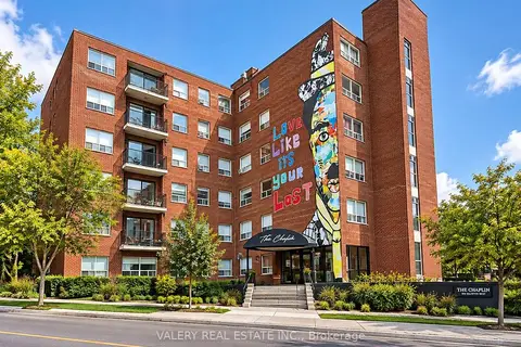
$2,195/mo
1+1 bd1 ba1 pk700-799 ft²
600 Eglinton Avenue W 410
Forest Hill South, Toronto
Condo Apartment · MLS® C13836834 · VALERY REAL ESTATE INC.
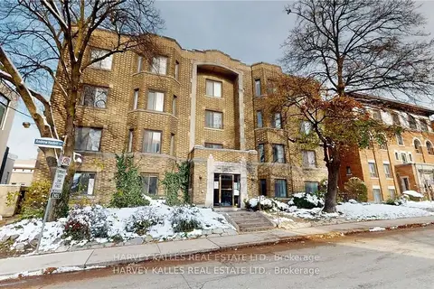
$2,195/mo
2 bd1 ba700-799 ft²
316 Lonsdale Road 2
Forest Hill South, Toronto
Other · MLS® C14031652 · HARVEY KALLES REAL ESTATE LTD.
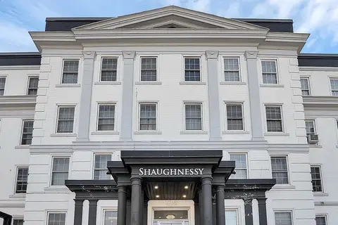
$2,150/mo
2 bd1 ba1 pk600-699 ft²
699 Eglinton Avenue W 403
Forest Hill South, Toronto
Other · MLS® C13776024 · SUTTON GROUP-ADMIRAL REALTY INC.
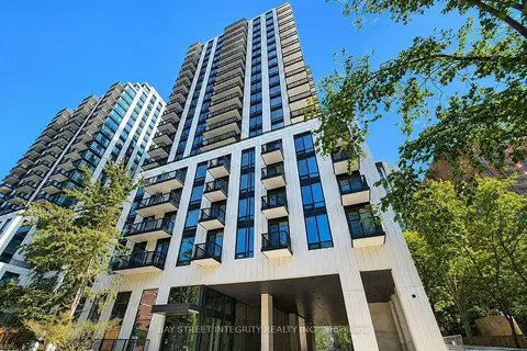
$2,250/mo
1+1 bd1 ba500-599 ft²
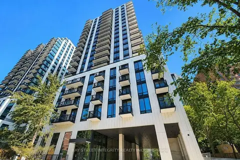
91 Montclair Avenue 733
Forest Hill South, Toronto
Condo Apartment · MLS® C13848702 · BAY STREET INTEGRITY REALTY INC.
$2,250/mo
1+1 bd1 ba500-599 ft²
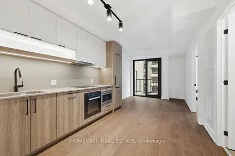
91 Montclair Avenue 2106
Forest Hill South, Toronto
Condo Apartment · MLS® C14081284 · BAY STREET INTEGRITY REALTY INC.
 New
$2,250/mo
1+1 bd1 ba500-599 ft²
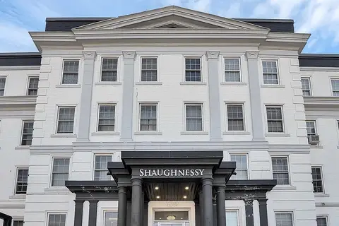
91 Montclair Avenue 1505
Forest Hill South, Toronto
Condo Apartment · MLS® C14093112 · HOMEWISE REAL ESTATE
$2,255/mo
1 bd1 ba700-799 ft²
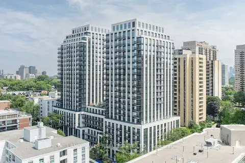
701 Eglinton Avenue W 401
Forest Hill South, Toronto
Other · MLS® C13780726 · SUTTON GROUP-ADMIRAL REALTY INC.
$2,300/mo
Reduced $100
1+1 bd1 ba500-599 ft²
89 Montclair Avenue 922
Forest Hill South, Toronto
Condo Apartment · MLS® C13637712 · LANDPOWER REAL ESTATE LTD.