5815 Main Street
215 - Hospital, Niagara Falls, L2G 5Z6
$1,249,900
Listed 18 days ago · MLS® X13854386
About this home
Remarkable location! Sale including: Land, Building, and active European Restaurant. Having the opportunity to work and live under one roof is awaiting. The well-established restaurant is a turn-key operation which includes 30 dining room seats and 15 outdoor seats on a fenced patio. Both are liquor licensed. Separate entrance, formerly a bake shop, suggests a business addition for take out or mini-shop of any kind to cater tourists and locals. Plenty of parking in the area and the city parking at the steps of the restaurant. The second floor consists of a residential one-bedroom apartment with an office and a kitchen; brand new kitchen cupboards and the engineered wood flooring. The prime location in Niagara Falls. Close proximity to the Falls, major entertainment centre, casino district, attractions and much more. As Niagara Falls is a world destination and proposed development will make that even more attractive, this property is a gem for a great investment. An extra-large backyard 200 feet deep with a two-car garage. Until now the fenced backyard is used for gardening, however it is general commercial zoned so the opportunities are endless. Plenty of space for your new adventure and hobby. This unique property is great for someone who is looking for independence.
Details
- Type
- Commercial Retail
- Lot
- 39.5 × 202.5 ft
- Garage
- Double Detached
- Property tax
- $8,069 (2026)
- Neighbourhood
- 215 - Hospital
- Municipality
- Niagara Falls
Heating, cooling and services
- Heating
- Gas Forced Air Closed
- Air conditioning
- Yes
- Utilities
- Yes
Building and exterior
- Building area
- 1,539 Square Feet
More
- Possession
- Flexible
- Cross street
- Lundy's Lane
- Business type
- Hospitality/Food Related
Location
Location is approximate. See nearby homes on the map
Recent sales nearby
See what similar homes within 1 km sold for in the last year. Create a free account or sign in to see them.
The neighbourhood
Getting around Walkable
No subway, LRT or GO station within a short trip.
Within a 10-minute walk: 2 grocery stores, 38 cafés and restaurants, 2 parks, 5 pharmacies. Nearest grocery: Wholesale Club (100 m). Nearest park: Battlefield Park (250 m).
Schools nearby
Elementary
- Princess Margaret Public School
EQAO: Gr 6 reading 98%, math 78%18 min walk - Heximer Avenue Public School
EQAO: Gr 6 reading 94%, math 84%1.5 km - Valley Way Public School
EQAO: Gr 6 reading 80%, math 40%1.6 km - Our Lady of Mount Carmel Catholic Elementary School Catholic
EQAO: Gr 6 reading 91%, math 49%1.6 km
Secondary
- Stamford Collegiate
EQAO: Gr 9 math 62%, literacy test 80%7 min walk
EQAO: share of students meeting the provincial standard (2024–25). Ontario average: Gr 6 reading 86%, math 51%; Gr 9 math 55%; literacy test 83%.
Closest schools, not school zones. Check which school serves this address with the school board before relying on it.
Who lives here postal area L2G
- Owners / renters
- 63% / 37%
- Median household income
- $69,000
- Average age
- 44
- Children under 15
- 14%
- Homes
- 63% detached, 3% high-rise
- Commute by transit
- 3%
- Population
- 30,344
Languages spoken most at home besides English: Punjabi (Panjabi) 1.3%, Tagalog (Pilipino, Filipino) 1.1%, Spanish 0.9%, Mandarin 0.8%.
Flood and conservation No mapped hazard
Not inside a mapped flood plain or regulated area in Niagara Peninsula Conservation’s mapping.
Screening maps only. Ask the conservation authority for a property inquiry before relying on this.
Safety
Crime Severity Index for Niagara Region (St. Catharines) police: 54 vs 57 for Ontario (2025).
Police-reported figures for the whole police service area, not this street. Rates use the area’s resident population.
Distances are approximate. Places © OpenStreetMap contributors. Neighbourhood figures: Statistics Canada, 2021 Census. School results: EQAO via Ontario Data Catalogue (Open Government Licence – Ontario). Flood and regulation mapping: Niagara Peninsula Conservation open data. Crime Severity Index: Statistics Canada.
Living here
Commute
To Union Station (downtown Toronto): 66 km. Transit times · Driving times
Noise Nothing major nearby
No highway within 500 m, rail line within 300 m, or airport flight path nearby.
Distances from the map, not noise measurements. Visit at rush hour to judge for yourself.
Internet High-speed
50/10 Mbps or faster available here by cable, fibre or DSL (the federal high-speed target).
From the federal broadband map. Check exact speeds and providers for the address.
Roads, rail, airports and planned stations © OpenStreetMap contributors. Internet: Innovation, Science and Economic Development Canada, National Broadband Data.
Listed by ONE PERCENT REALTY LTD..
Listing information provided by PropTx Innovations Inc. and TRREB; deemed reliable but not guaranteed accurate by PropTx.
Similar homes nearby
See more in Niagara Falls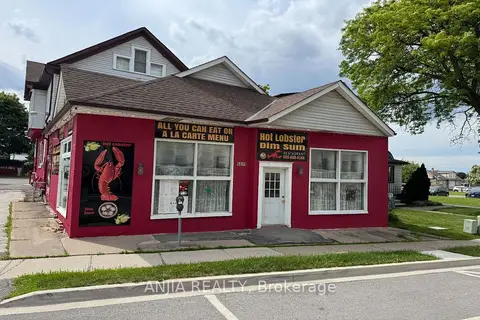
$1,180,000
Reduced $100,000
5689 MAIN Street
215 - Hospital, Niagara Falls
Commercial Retail · MLS® X13502100 · ANJIA REALTY
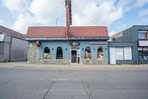
$1,350,000
5991 Lundys Lane E
215 - Hospital, Niagara Falls
Commercial Retail · MLS® X13650662 · HOMELIFE SUPERSTARS REAL ESTATE LIMITED
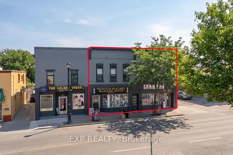
$1,299,888
0 bd
5856-5860 FERRY Street
216 - Dorchester, Niagara Falls
Commercial Retail · MLS® X13720810 · EXP REALTY
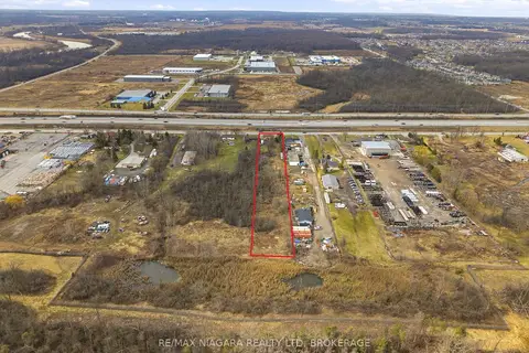
$1,299,900
Reduced $250,100
2 ba
8356 Oakwood Drive
221 - Marineland, Niagara Falls
Land · MLS® X12871144 · RE/MAX NIAGARA REALTY LTD, BROKERAGE
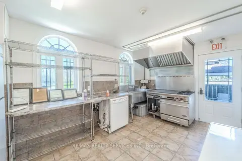
$1,199,000
8006 Norton Street S
223 - Chippawa, Niagara Falls
Investment · MLS® X13791310 · RE/MAX REALTY SERVICES INC.
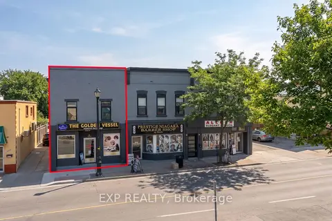
$1,138,888
3 ba
5848-5850 Ferry Street
216 - Dorchester, Niagara Falls
Commercial Retail · MLS® X13720808 · EXP REALTY
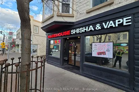
$1,099,999
5842 Ferry Street S
216 - Dorchester, Niagara Falls
Commercial Retail · MLS® X13829186 · RE/MAX GOLD REALTY INC.
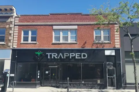
$1,098,000
Reduced $101,000
4497 Queen Street
210 - Downtown, Niagara Falls
Commercial Retail · MLS® X13602596 · SUTTON GROUP-ADMIRAL REALTY INC.