55 Nugget Avenue 230S
Agincourt South-Malvern West, Toronto, M1S 3L1
$575/mo
Listed 201 days ago · MLS® E12945202
About this home
Small Office Space Located On Sheppard And McCowan, Minutes To Hwy 401. Rent includes utilities plus Hst. Suitable for many uses.
Details
- Type
- Office
- Garage
- None
- Neighbourhood
- Agincourt South-Malvern West
- Municipality
- Toronto E07
Heating, cooling and services
- Heating
- Gas Forced Air Closed
- Air conditioning
- Yes
- Utilities
- Available
Building and exterior
- Building area
- 278 Square Feet
Rental terms
- Minimum term
- 12 months
More
- Possession
- TBA
- Cross street
- Mccowan & Sheppard
Location
Location is approximate. See nearby homes on the map
The neighbourhood
Getting around Walkable
- 🚆 Agincourt GO2.2 km
Within a 10-minute walk: 2 grocery stores, 16 cafés and restaurants, 1 park, 1 pharmacy. Nearest grocery: Farm Fresh Supermarket (750 m). Nearest park: White Haven Park (950 m).
Schools nearby
Elementary
- C.D. Farquharson Junior Public School
EQAO: Gr 6 reading 92%, math 68%15 min walk - St. Elizabeth Seton Catholic School Catholic16 min walk
- White Haven Junior Public School
EQAO: Gr 6 reading 87%, math 57%16 min walk - St. Bartholomew Catholic School Catholic17 min walk
Secondary
- Sir Alexander Mackenzie Senior Public School1.2 km
- Agincourt Collegiate Institute1.6 km
- Henry Kelsey Senior Public School1.7 km
EQAO: share of students meeting the provincial standard (2024–25). Ontario average: Gr 6 reading 86%, math 51%; Gr 9 math 55%; literacy test 83%.
Closest schools, not school zones. Check which school serves this address with the school board before relying on it.
Who lives here postal area M1S
- Owners / renters
- 75% / 25%
- Median household income
- $81,000
- Average age
- 45
- Children under 15
- 12%
- Homes
- 35% detached, 36% high-rise
- Commute by transit
- 21%
- Population
- 37,663
Languages spoken most at home besides English: Yue (Cantonese) 20.2%, Mandarin 13.7%, Tamil 4.2%, Gujarati 1.3%.
Flood and conservation Regulated area
This address is inside a conservation-authority regulated area (Toronto and Region Conservation Authority): near a valley, stream, shoreline or wetland, where flooding or erosion can occur. New building, additions, pools or grading usually need a permit from the authority.
Screening maps only. Ask the conservation authority for a property inquiry before relying on this.
Safety
Major crime per resident in Agincourt South-Malvern West (2025): about the Toronto average, down 15% from the year before.
- Assault39% below average
- Break and enter37% above average
- Auto theft22% above average
- Robbery21% above average
- Theft from vehiclesabout average
- Shootings159% above average
Crime Severity Index for Toronto police: 60 vs 57 for Ontario (2025).
Police-reported figures for the whole neighbourhood, not this street. Rates use the area’s resident population.
Development nearby 2 active
-
1928 MCCOWAN RD · 150 mOfficial Plan / Zoning By-law Amendment · OMB Appeal · applied 2025Proposed Official Plan Amendment seeks to redesignate the subject site from General Employment Areas to Mixed Use Areas. The proposal is being brought forward…Application details
-
1901 MCCOWAN RD · 100 mSite Plan · Under Review · applied 2023Site Plan Approval for TTC's Scarborough Subway Extension Sheppard East StationApplication details
Rezoning, site plan, subdivision and condominium applications filed with the city.
Distances are approximate. Places © OpenStreetMap contributors. Neighbourhood figures: Statistics Canada, 2021 Census. School results: EQAO via Ontario Data Catalogue (Open Government Licence – Ontario). Flood and regulation mapping: Toronto and Region Conservation Authority open data. Neighbourhood crime: Toronto Police Service Public Safety Data Portal (Open Government Licence – Toronto Police Service). Crime Severity Index: Statistics Canada. Planning applications: City of Toronto open data.
Living here
Commute
To Union Station (downtown Toronto): 19 km. Transit times · Driving times
Noise 1 source nearby
- 🚆 Rail line (Belleville Subdivision)200 m
Distances from the map, not noise measurements. Visit at rush hour to judge for yourself.
Building permits
- Interior Alterations · 2026 · Permit IssuedProposal for interior alterations for new Group D use (classrooms) - UNIT 5
1 permit on this block of the street in the last 2 years.
Permits filed with the City of Toronto. A permit doesn’t mean the work passed final inspection.
Trees
14 City street trees within 100 m. That’s fewer than the Toronto average of 42.
Trees on City boulevards only, not private yards or parks.
Internet High-speed
50/10 Mbps or faster available here by cable, fibre or DSL (the federal high-speed target).
From the federal broadband map. Check exact speeds and providers for the address.
Zoning, heritage, building permits and street trees: City of Toronto open data (Open Government Licence – Toronto). Roads, rail, airports and planned stations © OpenStreetMap contributors. Internet: Innovation, Science and Economic Development Canada, National Broadband Data.
Listed by RE/MAX EXCEL REALTY LTD..
Listing information provided by PropTx Innovations Inc. and TRREB; deemed reliable but not guaranteed accurate by PropTx.
Similar homes nearby
See more in Toronto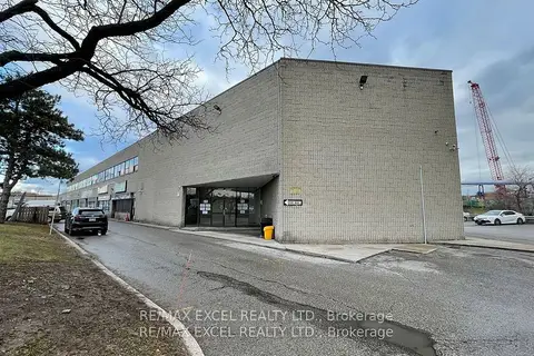
$570/mo
55 Nugget Avenue 230L
Agincourt South-Malvern West, Toronto
Office · MLS® E12945162 · RE/MAX EXCEL REALTY LTD.
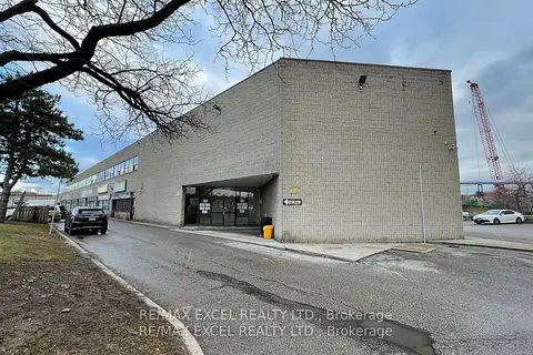
$645/mo
55 Nugget Avenue 230H
Agincourt South-Malvern West, Toronto
Office · MLS® E12945224 · RE/MAX EXCEL REALTY LTD.
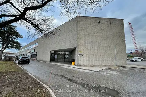
$649/mo
55 Nugget Avenue 230J
Agincourt South-Malvern West, Toronto
Office · MLS® E12945262 · RE/MAX EXCEL REALTY LTD.
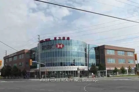
$650/mo
4438 Sheppard Avenue 3101
Agincourt South-Malvern West, Toronto
Commercial Retail · MLS® E12236253 · FIRST CLASS REALTY INC.
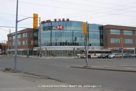
$650/mo
4438 Sheppard Avenue E 3103
Agincourt South-Malvern West, Toronto
Commercial Retail · MLS® E12964440 · HOMELIFE NEW WORLD REALTY INC.
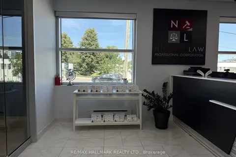
$500/mo
1 ba
1457 Mccowan Road 202
Agincourt South-Malvern West, Toronto
Office · MLS® E14088144 · RE/MAX HALLMARK REALTY LTD.
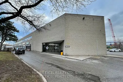
$675/mo
55 Nugget Avenue 230R
Agincourt South-Malvern West, Toronto
Office · MLS® E12945294 · RE/MAX EXCEL REALTY LTD.
$690/mo
55 Nugget Avenue 230I
Agincourt South-Malvern West, Toronto
Office · MLS® E12945320 · RE/MAX EXCEL REALTY LTD.