5200 Finch Avenue E 306
Agincourt North, Toronto, M1S 4Z4
$27/mo
Reduced $1 from $28
Listed 55 days ago · MLS® E13711562
About this home
Well Maintained Professional Use Building, Conveniently Located North East Corner Middlefield & Finch East, Steps To Ttc And Close To Highways 401,407 & Shopping Malls. Utilities & T.M.I Include.Brokerage Remarks
Details
- Type
- Office
- Garage
- None
- Neighbourhood
- Agincourt North
- Municipality
- Toronto E07
Heating, cooling and services
- Heating
- Gas Forced Air Closed
- Air conditioning
- Yes
- Utilities
- Yes
Building and exterior
- Building area
- 665 Square Feet
Rental terms
- Minimum term
- 36 months
More
- Possession
- 90+ days
- Cross street
- Corner Finch And Middlefield
Location
Location is approximate. See nearby homes on the map
The neighbourhood
Getting around Somewhat walkable
- 🚆 Agincourt GO3.4 km
Within a 10-minute walk: 1 grocery store, 10 cafés and restaurants, 2 parks. Nearest grocery: Surati Sweet Mart (700 m). Nearest park: Richmond Park (600 m).
Schools nearby
Elementary
- Anson S. Taylor Junior Public School
EQAO: Gr 6 reading 81%, math 67%11 min walk - Percy Williams Junior Public School
EQAO: Gr 6 reading 95%, math 68%11 min walk - École élémentaire catholique Saint-Jean-de-Lalande Catholic · French
EQAO: Gr 6 reading 100%, math 56%12 min walk - St. Ignatius of Loyola Catholic School Catholic
EQAO: Gr 6 reading 85%, math 54%15 min walk
Secondary
- Albert Campbell Collegiate Institute
EQAO: Gr 9 math 61%, literacy test 92%1.3 km - Francis Libermann Catholic High School Catholic
EQAO: Gr 9 math 60%, literacy test 88%1.4 km - Royal Crown Academic School | International High School Toronto Private1.5 km
EQAO: share of students meeting the provincial standard (2024–25). Ontario average: Gr 6 reading 86%, math 51%; Gr 9 math 55%; literacy test 83%.
Closest schools, not school zones. Check which school serves this address with the school board before relying on it.
Who lives here postal area M1S
- Owners / renters
- 75% / 25%
- Median household income
- $81,000
- Average age
- 45
- Children under 15
- 12%
- Homes
- 35% detached, 36% high-rise
- Commute by transit
- 21%
- Population
- 37,663
Languages spoken most at home besides English: Yue (Cantonese) 20.2%, Mandarin 13.7%, Tamil 4.2%, Gujarati 1.3%.
Flood and conservation No mapped hazard
Not inside a mapped flood plain or regulated area.
Screening maps only. Ask the conservation authority for a property inquiry before relying on this.
Safety
Major crime per resident in Milliken (2025): about the Toronto average, down 14% from the year before.
- Assault56% below average
- Break and enter34% above average
- Auto theft170% above average
- Robbery152% above average
- Theft from vehicles89% above average
- Shootings133% above average
Crime Severity Index for Toronto police: 60 vs 57 for Ontario (2025).
Police-reported figures for the whole neighbourhood, not this street. Rates use the area’s resident population.
Development nearby 2 active
-
5280 FINCH AVE E · 450 mSite Plan · NOAC Issued · applied 2023The proposed development currently contemplates three industrial warehouse buildings with associated office areas.Application details
-
50 SCOTTFIELD DR · 300 mSite Plan · NOAC Issued · applied 2009Site plan approval application to allow for the construction of a two storey community centre associated with the Yee Hong Centre for Geriatric Care at 50, 60,…
-
60 SCOTTFIELD DR · 300 mSite Plan · Closed · applied 2022Site Plan application for a 5-storey, 224 bed Long Term Care Home with accessory institutional and commercial space.Application details
Rezoning, site plan, subdivision and condominium applications filed with the city.
Distances are approximate. Places © OpenStreetMap contributors. Neighbourhood figures: Statistics Canada, 2021 Census. School results: EQAO via Ontario Data Catalogue (Open Government Licence – Ontario). Neighbourhood crime: Toronto Police Service Public Safety Data Portal (Open Government Licence – Toronto Police Service). Crime Severity Index: Statistics Canada. Planning applications: City of Toronto open data.
Living here
Commute
To Union Station (downtown Toronto): 21 km. Transit times · Driving times
Noise Nothing major nearby
No highway within 500 m, rail line within 300 m, or airport flight path nearby.
Distances from the map, not noise measurements. Visit at rush hour to judge for yourself.
Building permits
- Fire Alarm · 2025 · ClosedReplace existing fire alarm control panel and annunciator which are obsolete with new.
- Interior Alterations · 2019 · ClosedProposed interior alterations in Unit 104 for a dental office
- Interior Alterations · 2015 · ClosedProposeed renovations to unit 102 and 103 (167.69m2) to accomodate new pharmacy.
Permits filed with the City of Toronto. A permit doesn’t mean the work passed final inspection.
Trees
32 City street trees within 100 m, mostly maples. That’s about the Toronto average of 42.
Trees on City boulevards only, not private yards or parks.
Internet High-speed
50/10 Mbps or faster available here by cable, fibre or DSL (the federal high-speed target).
From the federal broadband map. Check exact speeds and providers for the address.
Zoning, heritage, building permits and street trees: City of Toronto open data (Open Government Licence – Toronto). Roads, rail, airports and planned stations © OpenStreetMap contributors. Internet: Innovation, Science and Economic Development Canada, National Broadband Data.
Listed by RE/MAX CROSSROADS REALTY INC..
Listing information provided by PropTx Innovations Inc. and TRREB; deemed reliable but not guaranteed accurate by PropTx.
Similar homes nearby
See more in Toronto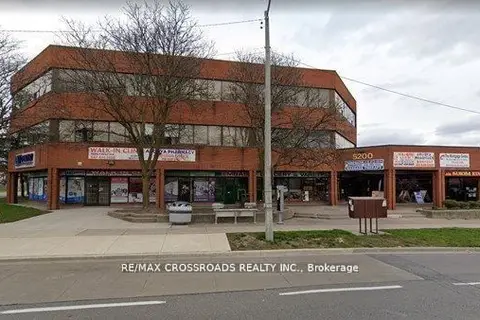
$27/mo
Reduced $1
5200 FINCH Avenue E 311
Agincourt North, Toronto
Office · MLS® E13693820 · RE/MAX CROSSROADS REALTY INC.

$25/mo
240 Alton Towers Circle A9
Agincourt North, Toronto
Commercial Retail · MLS® E13797678 · KW Living Realty
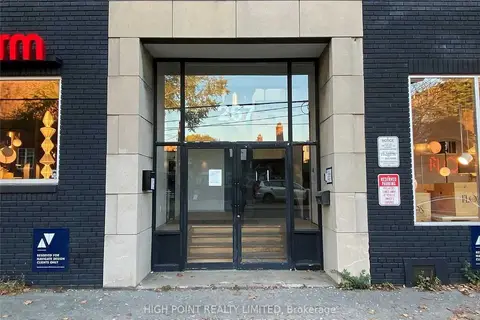
$27/mo
267 Niagara Street 101/102
Niagara, Toronto
Office · MLS® C6155212 · HIGH POINT REALTY LIMITED
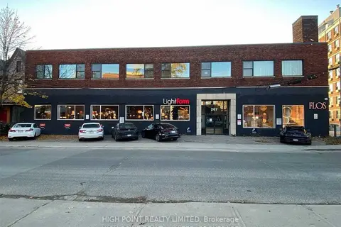
$27/mo
267 Niagara Street
Niagara, Toronto
Office · MLS® C6155444 · HIGH POINT REALTY LIMITED
$27/mo
267 Niagara Street 101/201
Niagara, Toronto
Office · MLS® C6155616 · HIGH POINT REALTY LIMITED
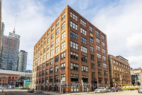
$27/mo
30 Duncan Street 102
Waterfront Communities C1, Toronto
Office · MLS® C9295450 · COLLIERS
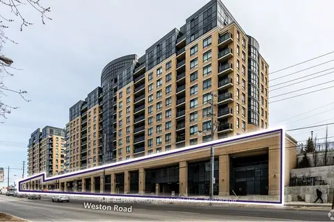
$27/mo
3461 Weston Road
Humbermede, Toronto
Commercial Retail · MLS® W9033434 · THE BEHAR GROUP REALTY INC.
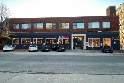
$27/mo
267 Niagara Street 101
Niagara, Toronto
Commercial Retail · MLS® C11884374 · HIGH POINT REALTY LIMITED