5155 Spectrum Way 25
Airport Corporate, Mississauga, L4W 5A1
$19/mo
Listed 120 days ago · MLS® W13475492
About this home
A rare opportunity to lease a freestanding commercial unit in a prime Mississauga location near the airport. Unit 25 stands out with its expansive warehouse space, soaring ceilings, and advanced high-tech security system-features seldom found in today's market. Fully renovated from top to bottom, the unit offers a modern, turnkey environment suitable for a wide range of business uses. The open layout is enhanced by generous ceiling heights, creating a bright and spacious atmosphere with excellent functional flexibility. Designed with accessibility in mind, the unit includes wide entryways to accommodate all users. A brand-new kitchen provides added convenience for staff, while premium flooring and energy-efficient lighting elevate the overall finish. The rear warehouse area is equipped with oversized doors for seamless truck access, making logistics and operations highly efficient. Additional features include automated window blinds and two newly installed EV chargers at the rear of the unit, offering added convenience and future-ready infrastructure. Freestanding units of this caliber are rarely offered-an outstanding opportunity for businesses seeking space, security, and a top-tier location. Can be Furnished for extra.
Details
- Type
- Office
- Lot
- 41 × 98 ft
- Garage
- Outside/Surface
- Property tax
- $18,156 (2026)
- Neighbourhood
- Airport Corporate
- Municipality
- Mississauga
Heating, cooling and services
- Heating
- Gas Forced Air Open
- Air conditioning
- Yes
- Water and sewer
- Sanitary+Storm
- Utilities
- Available
Building and exterior
- Building area
- 3,980 Square Feet
Rental terms
- Minimum term
- 36 months
More
- Possession
- 30-59 DAYS
- Cross street
- Matheson Blvd & Spectrum Way
- Business type
- Professional Office
History of this address
1 earlier listing at this address, with sold and leased prices. Create a free account or sign in to see them.
Location
Location is approximate. See nearby homes on the map
The neighbourhood
Getting around Somewhat walkable
- 🚆 Terminal 1 GO3.6 km
Within a 10-minute walk: no grocery stores, 15 cafés and restaurants, 1 park. Nearest park: Max Ward Park (850 m).
Schools nearby
Elementary
- Sts Martha & Mary Separate School Catholic
EQAO: Gr 6 reading 88%, math 73%1.7 km - Mill Valley Junior School
EQAO: Gr 3 reading 93%, math 89%1.9 km - Seneca School2.2 km
- Mother Cabrini Catholic School Catholic
EQAO: Gr 6 reading 100%2.4 km
Secondary
- Hollycrest Middle School2.2 km
- Michael Power/St. Joseph High School Catholic
EQAO: Gr 9 math 68%, literacy test 87%2.5 km
EQAO: share of students meeting the provincial standard (2024–25). Ontario average: Gr 6 reading 86%, math 51%; Gr 9 math 55%; literacy test 83%.
Closest schools, not school zones. Check which school serves this address with the school board before relying on it.
Who lives here postal area L4W
- Owners / renters
- 78% / 22%
- Median household income
- $105,000
- Average age
- 47
- Children under 15
- 12%
- Homes
- 53% detached, 24% high-rise
- Commute by transit
- 10%
- Population
- 19,744
Languages spoken most at home besides English: Polish 3.7%, Ukrainian 3.1%, Mandarin 2%, Yue (Cantonese) 1.5%.
Flood and conservation No mapped hazard
Not inside a mapped flood plain or regulated area.
Screening maps only. Ask the conservation authority for a property inquiry before relying on this.
Safety
Crime Severity Index for Peel Region (Mississauga/Brampton) police: 59 vs 57 for Ontario (2025).
Police-reported figures for the whole police service area, not this street. Rates use the area’s resident population.
Development nearby 3 active
-
2200 SKYMARK AVENUE · 300 mDevelopment application · In process · applied 2020Four storey office building
-
40 RAKELY CRT · 400 mOfficial Plan / Zoning By-law Amendment · Under Review · applied 2019Rezoning application to allow the construction of five office and retail buildings ranging from six to nine storeys, with a shared two-level underground…Application details
-
5555 EGLINTON AVE W · 450 mSite Plan · Under Review · applied 2016INACTIVE Proposed development of a new one-storey, 478 m2 commercial building (Building B) in conjunction with an existing commercial buildings.Application details
Rezoning, site plan, subdivision and condominium applications filed with the city.
Distances are approximate. Places © OpenStreetMap contributors. Neighbourhood figures: Statistics Canada, 2021 Census. School results: EQAO via Ontario Data Catalogue (Open Government Licence – Ontario). Crime Severity Index: Statistics Canada. Planning applications: City of Toronto, City of Mississauga open data.
Living here
Commute
To Union Station (downtown Toronto): 18 km. Transit times · Driving times
Noise 1 source nearby
- ✈️ In line with a Pearson runway2.7 km
Distances from the map, not noise measurements. Visit at rush hour to judge for yourself.
Internet High-speed
50/10 Mbps or faster available here by cable, fibre or DSL (the federal high-speed target).
From the federal broadband map. Check exact speeds and providers for the address.
Roads, rail, airports and planned stations © OpenStreetMap contributors. Internet: Innovation, Science and Economic Development Canada, National Broadband Data.
Listed by UNION CAPITAL REALTY.
Listing information provided by PropTx Innovations Inc. and TRREB; deemed reliable but not guaranteed accurate by PropTx.
Similar homes nearby
See more in Mississauga
$19/mo
1 ba
5270 Solar Drive 16
Airport Corporate, Mississauga
Industrial · MLS® W13154388 · CENTURY 21 PEOPLE`S CHOICE REALTY INC.

$19/mo
1 ba
5270 Solar Drive 9
Airport Corporate, Mississauga
Industrial · MLS® W13755244 · BEST UNION REALTY INC.
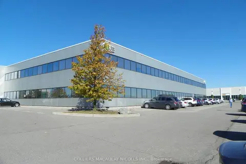
$20/mo
5255 Solar Drive B
Airport Corporate, Mississauga
Office · MLS® W9048981 · COLLIERS
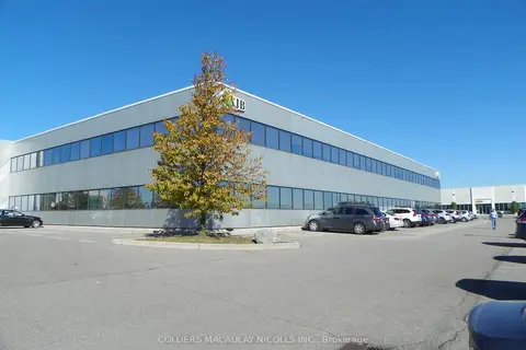
$20/mo
5255 Solar Drive C
Airport Corporate, Mississauga
Office · MLS® W9048983 · COLLIERS
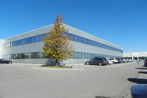
$20/mo
5255 Solar Drive D
Airport Corporate, Mississauga
Office · MLS® W9048988 · COLLIERS
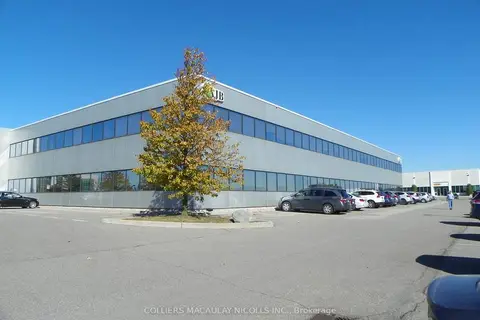
$20/mo
5255 Solar Drive F
Airport Corporate, Mississauga
Office · MLS® W9048991 · COLLIERS
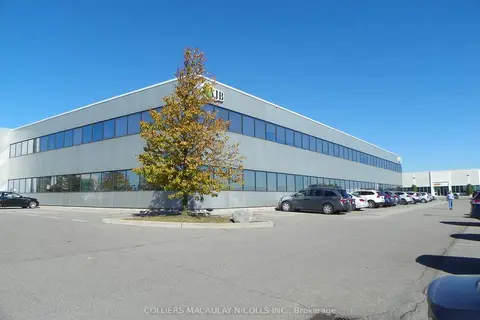
$20/mo
5255 Solar Drive 1st Fl
Airport Corporate, Mississauga
Office · MLS® W9048996 · COLLIERS
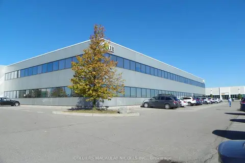
$20/mo
5255 Solar Drive 2nd Fl
Airport Corporate, Mississauga
Office · MLS® W9049000 · COLLIERS