505 Highway 7 E A26 & A27
Commerce Valley, Markham, L3T 7T1
$1,380,000
- 1 bathrooms
Listed 35 days ago · MLS® N13785522
About this home
Welcome to 505 Highway 7 East, Units A26 & 27, a strategic address in the heart of Markham's bustling business corridor. Rare corner units with many display windows facing busy Highway 7 offer plenty of street level exposure. Offering BC zoning, this combined double-unit provides flexibility for medical, dental, professional, retail, or service-based businesses. The layout is thoughtfully designed to provide versatility, functionality and elegance. A welcoming lobby and reception area set the stage for a professional first impression, while multiple private commercial rooms/offices allow for a variety of uses, whether its consultation rooms, treatment spaces, or staff work areas. A dedicated staff area, office, and washroom make it easy to run daily operations smoothly. With a spacious interior, this unit balances efficiency with comfort. Clients will appreciate the convenience of being along the highly visible Hwy 7 strip, surrounded by restaurants, shopping, medical offices, and easy access to Hwy 404, Hwy 407, and public transit. The plaza also provides ample parking, ensuring a hassle free visit for both staff and visitors. Monthly condo fees include common area maintenance, indoor/outdoor parking, and mall security. For buyers, this property offers a turnkey opportunity to step into one of Markham's most recognizable commercial hubs with space designed for growth, visibility, and client satisfaction.
Details
- Type
- Commercial Retail
- Garage
- Outside/Surface
- Property tax
- $3,379 (2025)
- Neighbourhood
- Commerce Valley
- Municipality
- Markham
Interior
- Bathrooms
- 1 × bathroom
Heating, cooling and services
- Heating
- Gas Forced Air Open
- Air conditioning
- Yes
- Utilities
- Available
Building and exterior
- Building area
- 832 Square Feet
More
- Possession
- 60/90/TBA
- Cross street
- Hwy 7/Commerce Valley Dr W
- Business type
- Health & Beauty Related
Location
Location is approximate. See nearby homes on the map
Recent sales nearby
See what similar homes within 1 km sold for in the last year. Create a free account or sign in to see them.
The neighbourhood
Getting around Walkable
- 🚆 Langstaff GO2.9 km
Within a 10-minute walk: no grocery stores, 61 cafés and restaurants, 5 parks, 4 pharmacies. Nearest park: Leitchcroft Park (450 m).
Schools nearby
Elementary
- Adrienne Clarkson Public School
EQAO: Gr 6 reading 100%, math 93%1.2 km - Doncrest Public School
EQAO: Gr 6 reading 92%, math 59%1.5 km - Willowbrook Public School
EQAO: Gr 6 reading 91%, math 69%1.7 km - Christ the King Catholic Elementary School Catholic
EQAO: Gr 6 reading 96%, math 85%1.8 km
Secondary
- Westfield Secondary School Private14 min walk
- St. Robert Catholic High School Catholic
EQAO: Gr 9 math 92%, literacy test 96%18 min walk - Thornlea Secondary School
EQAO: Gr 9 math 78%, literacy test 90%1.8 km
EQAO: share of students meeting the provincial standard (2024–25). Ontario average: Gr 6 reading 86%, math 51%; Gr 9 math 55%; literacy test 83%.
Closest schools, not school zones. Check which school serves this address with the school board before relying on it.
Who lives here postal area L3T
- Owners / renters
- 76% / 24%
- Median household income
- $95,000
- Average age
- 46
- Children under 15
- 13%
- Homes
- 42% detached, 36% high-rise
- Commute by transit
- 11%
- Population
- 50,405
Languages spoken most at home besides English: Yue (Cantonese) 8.9%, Iranian Persian 8.2%, Mandarin 7.7%, Korean 3.4%.
Flood and conservation No mapped hazard
Not inside a mapped flood plain or regulated area.
Screening maps only. Ask the conservation authority for a property inquiry before relying on this.
Safety
Crime Severity Index for York Region police: 50 vs 57 for Ontario (2025).
Police-reported figures for the whole police service area, not this street. Rates use the area’s resident population.
Distances are approximate. Places © OpenStreetMap contributors. Neighbourhood figures: Statistics Canada, 2021 Census. School results: EQAO via Ontario Data Catalogue (Open Government Licence – Ontario). Crime Severity Index: Statistics Canada.
Living here
Commute
To Union Station (downtown Toronto): 22 km. Transit times · Driving times
Noise Nothing major nearby
No highway within 500 m, rail line within 300 m, or airport flight path nearby.
Distances from the map, not noise measurements. Visit at rush hour to judge for yourself.
Internet High-speed
50/10 Mbps or faster available here by cable, fibre or DSL (the federal high-speed target).
From the federal broadband map. Check exact speeds and providers for the address.
Roads, rail, airports and planned stations © OpenStreetMap contributors. Internet: Innovation, Science and Economic Development Canada, National Broadband Data.
Listed by SAM MCDADI REAL ESTATE INC..
Listing information provided by PropTx Innovations Inc. and TRREB; deemed reliable but not guaranteed accurate by PropTx.
Similar homes nearby
See more in Markham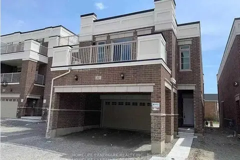
$1,380,000
61 Luzon Avenue
Box Grove, Markham
Store W Apt/Office · MLS® N13569780 · HOMELIFE LANDMARK REALTY INC.
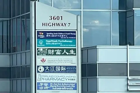
$1,380,000
3601 HWY 7 Street E 901
Unionville, Markham
Office · MLS® N14029470 · HOMELIFE LANDMARK REALTY INC.
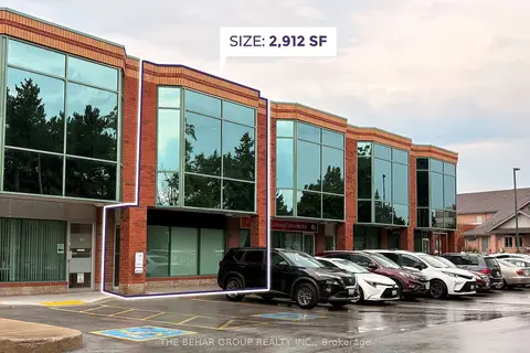
$1,390,000
2 ba
2800 John Street 2
Milliken Mills West, Markham
Industrial · MLS® N13694700 · THE BEHAR GROUP REALTY INC.
$1,398,000
7163 Yonge Street 119
Grandview, Markham
Commercial Retail · MLS® N13012660 · PROXY REAL PROPERTY INC.
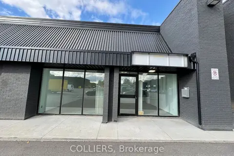
$1,330,065
2600 John Street 219
Milliken Mills West, Markham
Industrial · MLS® N13812944 · COLLIERS
$1,300,000
2800 John St 2 ORR LIGHTING LTD
Milliken Mills West, Markham
Sale Of Business · MLS® N13694684 · THE BEHAR GROUP REALTY INC.
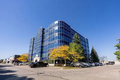
$1,300,000
3950 14th Avenue 406 & 407
Milliken Mills West, Markham
Office · MLS® N13763976 · T-ONE GROUP REALTY INC.,
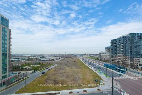
$1,288,000
3601 Highway 7 E 610
Unionville, Markham
Office · MLS® N13669112 · MARKHAM CENTRE REALTY INC.