492 Eastern Avenue
South Riverdale, Toronto, M4M 1C5
$3,600/mo
- 3 bedrooms
- 2 bathrooms
- 1 parking
- 1100-1500 sq ft
Listed 189 days ago · MLS® E12996630
About this home
Spacious detached home in Prime Leslieville. Three bedrooms, two bathrooms and a finished basement, perfect for overnight guests or media space. Enjoy outdoor space on the back deck and low-maintenance backyard. Live close to all of the shops and amenities that Queen Street has to offer, including the Broadview Hotel, Prohibition Social and Bonjour Brioche. Conveniently located only steps to the King & Queen TTC Streetcars, along with the vibrant Leslieville neighbourhood, parks and schools. One front pad parking space is included! All utilities (water, heat and hydro) are extra.
Details
- Type
- Detached
- Style
- 2-Storey
- Size
- 1100-1500 sq ft
- Lot
- 18 × 79 ft
- Basement
- Full, Finished
- Garage
- None
- Kitchens
- 1
- Neighbourhood
- South Riverdale
- Municipality
- Toronto E01
- Rent increase limit
- Depends on when the unit was first lived in: before Nov. 15, 2018 it’s covered by Ontario’s yearly limit (2.1% in 2026); after, there’s no cap.
Interior
- Bedrooms
- 3 above ground
- Bathrooms
- 1 × 4-piece (second), 1 × 3-piece (basement)
- Rooms
- 7 above ground
- Family room or den
- No
- Fireplace
- Living Room, Natural Gas
- Laundry
- In Basement
- Features
- Carpet Free
- Furnished
- Unfurnished
Heating, cooling and services
- Heating
- Forced Air, Gas
- Air conditioning
- Central Air
- Water and sewer
- Sewer
Building and exterior
- Style
- 2-Storey
- Exterior
- Brick
- Roof
- Shingles
- Foundation
- Concrete
- Faces
- North
Parking
- Total parking
- 1
- Driveway and parking
- Front Yard Parking
Lot
- Size
- 18 × 79 ft
Rental terms
- Rent includes
- Parking
More
- Possession
- June 1st
- Cross street
- Eastern Ave & Logan Ave
History of this address
7 earlier listings at this address, with sold and leased prices. Create a free account or sign in to see them.
Location
Location is approximate. See nearby homes on the map
The neighbourhood
Getting around Very walkable
- 🚇 Chester Subway2.4 km
- 🚇 Pape Subway2.4 km
- 🚆 Toronto Union Station GO3.5 km
Within a 10-minute walk: 7 grocery stores, 63 cafés and restaurants, 20 parks, 5 pharmacies. Nearest grocery: The Source Bulk Foods (250 m). Nearest park: Morse Street Playground (200 m).
Schools nearby
Elementary
- Morse Street Junior Public School
EQAO: Gr 6 reading 85%, math 71%3 min walk - Bruce Public School
EQAO: Gr 6 reading 93%, math 43%11 min walk - Dundas Junior Public School
EQAO: Gr 3 reading 66%, math 53%12 min walk - St. Joseph Catholic School Catholic
EQAO: Gr 6 reading 92%, math 58%18 min walk
Secondary
- Queen Alexandra Middle School12 min walk
- SEED Alternative School13 min walk
- Eastdale Collegiate Institute16 min walk
EQAO: share of students meeting the provincial standard (2024–25). Ontario average: Gr 6 reading 86%, math 51%; Gr 9 math 55%; literacy test 83%.
Closest schools, not school zones. Check which school serves this address with the school board before relying on it.
Who lives here postal area M4M
- Owners / renters
- 56% / 44%
- Median household income
- $99,000
- Average age
- 40
- Children under 15
- 14%
- Homes
- 6% detached, 25% high-rise
- Commute by transit
- 25%
- Population
- 25,052
Languages spoken most at home besides English: Yue (Cantonese) 6.3%, Mandarin 3.5%, Vietnamese 1.5%, Spanish 0.6%.
Flood and conservation Flood plain
This address falls inside a mapped flood plain (Toronto and Region Conservation Authority). Building, additions and grading need a permit from the conservation authority, and flood insurance can cost more or be harder to get.
Screening maps only. Ask the conservation authority for a property inquiry before relying on this.
Safety
Major crime per resident in South Riverdale (2025): about the Toronto average, down 17% from the year before.
- Assaultabout average
- Break and enter40% above average
- Auto theftabout average
- Robberyabout average
- Theft from vehicles65% above average
- Shootings61% below average
Crime Severity Index for Toronto police: 60 vs 57 for Ontario (2025).
Police-reported figures for the whole neighbourhood, not this street. Rates use the area’s resident population.
Development nearby 11 active
-
65-87 HEWARD AVE · 300 mOfficial Plan / Zoning By-law Amendment · OMB Appeal · applied 2025Official Plan Amendment (OPA) to re-designate the subject site from Core Employment Areas to Mixed Use Areas to permit future mixed-use development. The OPA…Application details
-
797 QUEEN ST E · 450 mSite Plan · Under Review · applied 2024Site Plan Control Placeholder for Leslieville Station, one of the stations included in the Ontario Line Elevated Guideway and Stations contract.Application details
-
462 EASTERN AVE · 100 mPlan of Condominium · Draft Plan Approved · applied 2024Draft Plan of Condominium for 1 storey retail condominium, consisting of 5 retail condominium units and 10 parking units.Application details
-
929 QUEEN ST E · 250 mSite Plan · NOAC Issued · applied 2023Application for Site Plan Control to permit a 9-storey mixed use building, containing 78 rental units and 195 square metres of commercial gross floor area.Application details
-
375 EASTERN AVE · 450 mSite Plan · Under Review · applied 2022Site Plan application for the approval of a 48-storey non-residential building (218.55 metres), inclusive of a 6-storey podium, having a gross floor area of…Application details
-
629 EASTERN AVE · 450 mSite Plan · NOAC Issued · applied 2020Site Plan approval application for the construction of a private road with public access easement to connect Eastern Ave and Lake Shore Blvd E, as contemplated…Application details
7 more within 500 m.
Rezoning, site plan, subdivision and condominium applications filed with the city.
Distances are approximate. Places © OpenStreetMap contributors. Neighbourhood figures: Statistics Canada, 2021 Census. School results: EQAO via Ontario Data Catalogue (Open Government Licence – Ontario). Flood and regulation mapping: Toronto and Region Conservation Authority open data. Neighbourhood crime: Toronto Police Service Public Safety Data Portal (Open Government Licence – Toronto Police Service). Crime Severity Index: Statistics Canada. Planning applications: City of Toronto open data.
Living here
Commute
To Union Station (downtown Toronto): 3 km. Transit times · Driving times
Coming transit
- 🚧 Leslieville Ontario Line400 m · opening early 2030s
- 🚧 East Harbour Ontario Line600 m · opening early 2030s
- 🚧 Gerrard 1.0 km
Stations under construction or approved. Opening dates are the latest public estimates and often move.
Noise Nothing major nearby
No highway within 500 m, rail line within 300 m, or airport flight path nearby.
Distances from the map, not noise measurements. Visit at rush hour to judge for yourself.
What can be built R
Residential (with a site-specific exception).
- ✅ Up to 6 homes on the lot (multiplex): a sixplex ward
- ✅ Garden suite in the backyard
- ✅ Laneway suite, if the lot backs onto a lane
From Toronto’s Zoning By-law 569-2013 map. Lot size, setbacks and trees decide what actually fits; check with a planner before you buy.
Building permits
No building permits at this address since 2014.
2 permits on this block of the street in the last 2 years.
Permits filed with the City of Toronto. A permit doesn’t mean the work passed final inspection.
Trees
18 City street trees within 100 m, mostly maples. That’s fewer than the Toronto average of 42.
Trees on City boulevards only, not private yards or parks.
Internet High-speed
50/10 Mbps or faster available here by cable, fibre or DSL (the federal high-speed target).
From the federal broadband map. Check exact speeds and providers for the address.
Short-term rentals
Only in your principal residence (where you live). The entire home can be rented up to 180 nights a year; renting up to 3 bedrooms while you live there has no limit. Hosts register with the City and collect the 6% accommodation tax.
Zoning, heritage, building permits and street trees: City of Toronto open data (Open Government Licence – Toronto). Roads, rail, airports and planned stations © OpenStreetMap contributors. Internet: Innovation, Science and Economic Development Canada, National Broadband Data.
Listed by NEST SEEKERS INTERNATIONAL REAL ESTATE.
Listing information provided by PropTx Innovations Inc. and TRREB; deemed reliable but not guaranteed accurate by PropTx.
Similar homes nearby
See more in Toronto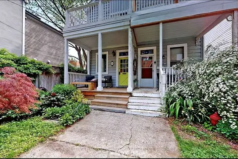
$3,500/mo
Reduced $100
2 bd2 ba2 pk700-1100 ft²
81 Tiverton Avenue
South Riverdale, Toronto
Semi-Detached · MLS® E13798666 · ROYAL LEPAGE TERREQUITY SW REALTY
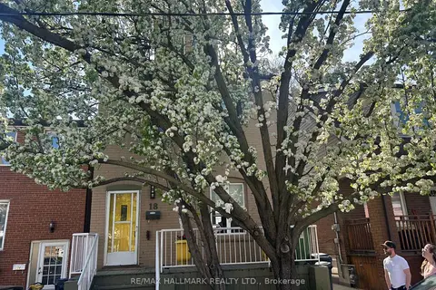
$3,850/mo
2 bd1 ba1 pk1500-2000 ft²
18 Pape Avenue upper
South Riverdale, Toronto
Duplex · MLS® E13857782 · RE/MAX HALLMARK REALTY LTD.
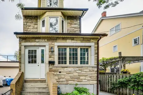
$3,350/mo
2 bd1 ba< 700 ft²
145 Boston Avenue Lower
South Riverdale, Toronto
Lower Level · MLS® E14032760 · REAL ESTATE HOMEWARD
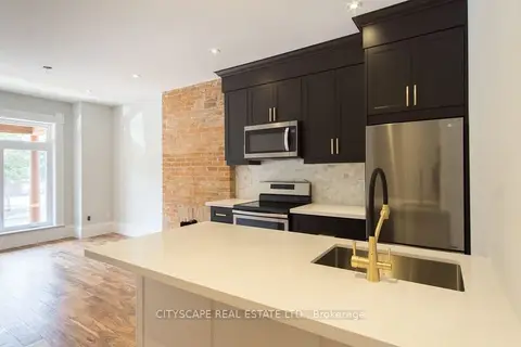
$3,300/mo
2 bd2 ba700-1100 ft²
936 Dundas Street E Main
South Riverdale, Toronto
Att/Row/Townhouse · MLS® E13863884 · CITYSCAPE REAL ESTATE LTD.
$3,300/mo
2 bd1 ba1 pk700-1100 ft²
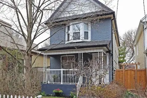
98 Hastings Avenue
South Riverdale, Toronto
Duplex · MLS® E14090320 · HOMELIFE LANDMARK REALTY INC.
$3,200/mo
Reduced $200
3 bd2 ba1100-1500 ft²
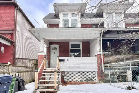
17 Winnifred Avenue
South Riverdale, Toronto
Semi-Detached · MLS® E13604128 · PROMPTON REAL ESTATE SERVICES CORP.
$3,200/mo
Reduced $200
2 bd2 ba700-1100 ft²
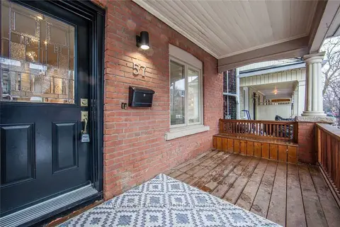
57 Bertmount Avenue Lower
South Riverdale, Toronto
Semi-Detached · MLS® E13609896 · WARWICK REALTY GROUP INC.
$3,200/mo
2 bd1 ba700-1100 ft²
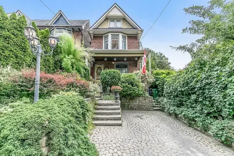
91 Ivy Avenue Upper
South Riverdale, Toronto
Upper Level · MLS® E13748730 · RE/MAX HALLMARK REALTY LTD.