49 St. Clair Avenue W 100
Yonge-St. Clair, Toronto, M4V 1K7
$2,900/mo
- 1 bathrooms
Listed 12 days ago · MLS® C13876256
About this home
49 St. Clair Ave W, Suite 100 - a 1,722 sq ft ground-floor turnkey office in the heart of Yonge-St. Clair (C02), one of midtown Toronto's most prestigious and established professional districts. Positioned just steps from the Yonge-St. Clair TTC subway station and the St. Clair streetcar line, this move-in-ready professional office enjoys outstanding transit connectivity and walkable access to a wealth of amenities, including restaurants, cafes, banks, fitness studios, and boutique retail along the vibrant St. Clair corridor. Ideally configured for law firms, accountants, financial advisors, consultants, and other client-facing service businesses, the space offers excellent street-level exposure and a professional finish throughout that makes an immediate impression on visiting clients. Underground parking adds everyday convenience for both staff and guests, a rare and valuable feature in this sought-after midtown pocket. The well-maintained, CR4.25-zoned building is equipped with elevator access, gas forced-air heating, air conditioning, municipal water, sanitary and storm sewers, and a full sprinkler system, delivering comfort, safety, and reliability year-round. Its location near the corner of Yonge and St. Clair places tenants at the centre of a thriving commercial hub surrounded by established professional neighbours and steady foot traffic. Here's the revised financial terms section: In addition to net base rent and additional rent, the tenant is responsible for personal insurance and utilitiesFinancial terms are competitive for this premium address. Net base rent is $2,900.00 per month ($20.21 per sq ft per annum). Additional rent (T.M.I.) of $2,142.45 per month ($14.93 per sq ft per annum) includes property taxes, building insurance, and common area maintenance. Combined, this represents a total monthly commitment of $5,042.45 per month ($35.14 per sq ft per annum). Plus HST.
Details
- Type
- Office
- Lot
- 90 × 146 ft
- Garage
- Reserved/Assignd
- Property tax
- $15 (2026)
- Neighbourhood
- Yonge-St. Clair
- Municipality
- Toronto C02
Interior
- Bathrooms
- 1 × bathroom
Heating, cooling and services
- Heating
- Gas Forced Air Open
- Air conditioning
- Yes
- Utilities
- Yes
Building and exterior
- Building area
- 1,722 Square Feet
Rental terms
- Minimum term
- 60 months
More
- Possession
- TBD
- Cross street
- Yonge St and St. Clair Ave W
- Business type
- Professional Office
Location
Location is approximate. See nearby homes on the map
The neighbourhood
Getting around Very walkable
- 🚇 St. Clair Subway3 min walk
- 🚇 Summerhill Subway12 min walk
- 🚆 Toronto Union Station GO4.9 km
Within a 10-minute walk: 4 grocery stores, 44 cafés and restaurants, 11 parks, 5 pharmacies. Nearest grocery: Loblaws (250 m). Nearest park: Amsterdam Square (400 m).
Schools nearby
Elementary
- Deer Park Junior and Senior Public School
EQAO: Gr 6 reading 89%, math 68%8 min walk - The York School - Junior Campus Private8 min walk
- Brown Junior Public School
EQAO: Gr 6 reading 100%, math 75%9 min walk - Cottingham Junior Public School
EQAO: Gr 6 reading 100%, math 100%12 min walk
Secondary
- De La Salle College "Oaklands" Private9 min walk
EQAO: share of students meeting the provincial standard (2024–25). Ontario average: Gr 6 reading 86%, math 51%; Gr 9 math 55%; literacy test 83%.
Closest schools, not school zones. Check which school serves this address with the school board before relying on it.
Who lives here postal area M4V
- Owners / renters
- 44% / 56%
- Median household income
- $99,000
- Average age
- 46
- Children under 15
- 10%
- Homes
- 11% detached, 63% high-rise
- Commute by transit
- 26%
- Population
- 19,273
Languages spoken most at home besides English: Spanish 1.3%, Mandarin 0.8%, Russian 0.7%, Iranian Persian 0.6%.
Flood and conservation No mapped hazard
Not inside a mapped flood plain or regulated area.
Screening maps only. Ask the conservation authority for a property inquiry before relying on this.
Safety
Major crime per resident in Yonge-St.Clair (2025): 42% below the Toronto average, about the same from the year before.
- Assault65% below average
- Break and enter97% above average
- Auto theft71% below average
- Robbery67% below average
- Theft from vehicles45% below average
- Shootingsnone reported
Crime Severity Index for Toronto police: 60 vs 57 for Ontario (2025).
Police-reported figures for the whole neighbourhood, not this street. Rates use the area’s resident population.
Development nearby 28 active
-
1560 YONGE ST · 250 mSite Plan · Application Received · applied 2026Proposed four storey community centre with a gross floor area of 6,166sqm.Application details
-
1485 YONGE ST · 200 mSite Plan · Under Review · applied 2026Mixed use development consisting of three towers organized around a central publicly accessible open space (POPS), along with a new 1,560 m² public park at the…Application details
-
135 ST CLAIR AVE W · 400 mSite Plan · Under Review · applied 2025Proposed 49 storey mixed-use, 544-unit residential tower containing 46,009sqm residential GFA and 920sqm non-residential GFA, with a total height of 164.3…Application details
-
15 DELISLE AVE · 150 mPlan of Condominium · Draft Plan Approved · applied 2025Draft Plan of Condominium for 371 dwelling units.Application details
-
29 PLEASANT BLVD · 300 mOfficial Plan / Zoning By-law Amendment · Council Approved · applied 2024Zoning By-law Amendment for a new 50-storey (162.30 metres excluding mechanical penthouse) residential building comprised of a tower and podium base.Application details
-
45 ST CLAIR AVE W · 50 mSite Plan · Under Review · applied 2022The proposal involves the intensification of the subject site, which is currently developed with a 14-storey office building, with a 50-storey mixed-use…Application details
27 more within 500 m.
Rezoning, site plan, subdivision and condominium applications filed with the city.
Distances are approximate. Places © OpenStreetMap contributors. Neighbourhood figures: Statistics Canada, 2021 Census. School results: EQAO via Ontario Data Catalogue (Open Government Licence – Ontario). Neighbourhood crime: Toronto Police Service Public Safety Data Portal (Open Government Licence – Toronto Police Service). Crime Severity Index: Statistics Canada. Planning applications: City of Toronto open data.
Living here
Commute
To Union Station (downtown Toronto): 5 km. Transit times · Driving times
Noise Nothing major nearby
No highway within 500 m, rail line within 300 m, or airport flight path nearby.
Distances from the map, not noise measurements. Visit at rush hour to judge for yourself.
What can be built CR
Commercial Residential (with a site-specific exception).
From Toronto’s Zoning By-law 569-2013 map. Lot size, setbacks and trees decide what actually fits; check with a planner before you buy.
Building permits
- Fire Alarm · 2021 · ClosedReplacement of Fire Alarm Control Panel
- Interior Alterations · 2021 · ClosedProposal for interior alterations to existing apartment building unit 404
- Multiple Projects · 2020 · ClosedInterior alterations, heating and plumbing
- Interior Alterations · 2020 · ClosedCosmetic upgrade to unit # 206
- Interior Alterations · 2020 · ClosedCosmetic upgrade to unit # 304
27 permits on this block of the street in the last 2 years, including 1 new home.
Permits filed with the City of Toronto. A permit doesn’t mean the work passed final inspection.
Trees
5 City street trees within 100 m, mostly hawthorns. That’s fewer than the Toronto average of 42.
Trees on City boulevards only, not private yards or parks.
Internet High-speed
50/10 Mbps or faster available here by cable, fibre or DSL (the federal high-speed target).
From the federal broadband map. Check exact speeds and providers for the address.
Zoning, heritage, building permits and street trees: City of Toronto open data (Open Government Licence – Toronto). Roads, rail, airports and planned stations © OpenStreetMap contributors. Internet: Innovation, Science and Economic Development Canada, National Broadband Data.
Listed by COLDWELL BANKER THE REAL ESTATE CENTRE.
Listing information provided by PropTx Innovations Inc. and TRREB; deemed reliable but not guaranteed accurate by PropTx.
Similar homes nearby
See more in Toronto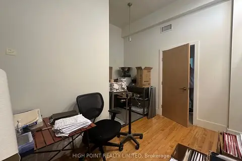
$2,600/mo
12 Birch Avenue 207
Yonge-St. Clair, Toronto
Office · MLS® C12319026 · HIGH POINT REALTY LIMITED
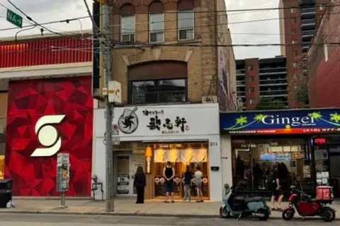
$2,900/mo
214 Queen Street W 3rd floor
Kensington-Chinatown, Toronto
Industrial · MLS® C13584316 · HARVEY KALLES REAL ESTATE LTD.
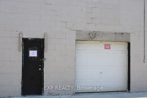
$2,900/mo
30 Canvarco Road 9
Thorncliffe Park, Toronto
Industrial · MLS® C13634866 · EXP REALTY
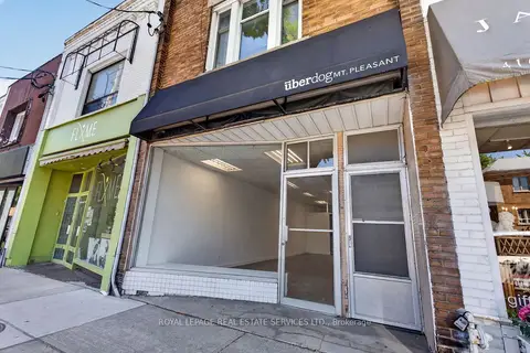
$2,900/mo
571 Mount Pleasant Road
Mount Pleasant East, Toronto
Commercial Retail · MLS® C13790924 · ROYAL LEPAGE REAL ESTATE SERVICES LTD.
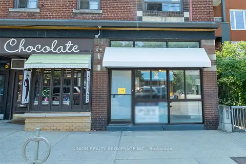
$2,900/mo
1 ba
2373 Queen Street E
The Beaches, Toronto
Commercial Retail · MLS® E14031832 · UNION REALTY BROKERAGE INC.
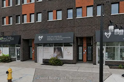
$2,900/mo
1 ba
863 Wilson Avenue
Downsview-Roding-CFB, Toronto
Commercial Retail · MLS® W13705010 · iCloud Realty Ltd.
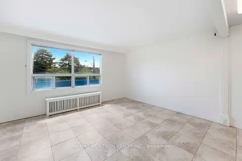
$2,900/mo
930 Wilson Avenue 1
Downsview-Roding-CFB, Toronto
Office · MLS® W13756660 · RE/MAX REALTRON REALTY INC.
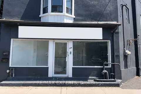
$2,900/mo
1335 Weston Road
Mount Dennis, Toronto
Commercial Retail · MLS® W13871240 · RE/MAX EXPERTS