483 Linwell Road
441 - Bunting/Linwell, St. Catharines, L2M 2P6
$2,199/mo
- 2 bedrooms
- 1 bathrooms
- 1 parking
- 700-1100 sq ft
Listed 140 days ago · MLS® X13227192
About this home
Welcome to easy North End living at 483 Linwell Road. This 2-bedroom deluxe suite offers a bright, open-concept layout with a 4-piece bathroom, renovated finishes, stainless steel appliances, laminate and tile flooring, ample closet space, and a private balcony. Located near the Niagara Street and Linwell Road intersection, this building is close to shopping, restaurants, coffee shops, parks, schools, public transit, and everyday amenities. Utilities are included in the rental price, with outdoor and underground parking options available at an additional monthly cost. A great fit for anyone looking for a clean, convenient, move-in-ready rental in one of St. Catharines' most practical North End locations.
Details
- Type
- Multiplex
- Style
- 1 Storey/Apt
- Age
- 51-99 years
- Size
- 700-1100 sq ft
- Lot
- 212.65 × 147 ft
- Basement
- None
- Garage
- Other
- Kitchens
- 1
- Neighbourhood
- 441 - Bunting/Linwell
- Municipality
- St. Catharines
- Rent increase limit
- Covered by Ontario’s yearly limit (2.1% in 2026): the building is older than Nov. 2018.
Interior
- Bedrooms
- 2 above ground
- Bathrooms
- 1 × 4-piece (flat)
- Rooms
- 4 above ground
- Family room or den
- No
- Fireplace
- No
- Laundry
- In-Suite Laundry
- Features
- Carpet Free
- Furnished
- Unfurnished
Heating, cooling and services
- Heating
- Water, Gas
- Water and sewer
- Sewer
Building and exterior
- Style
- 1 Storey/Apt
- Exterior
- Brick, Concrete
- Roof
- Flat
- Age
- 51-99 years
- Faces
- South
- Outdoor
- Controlled Entry
Parking
- Garage spaces
- 1
- Total parking
- 1
- Driveway and parking
- Reserved/Assigned
Lot
- Size
- 212.65 × 147 ft
Rental terms
- Rent includes
- Building Maintenance, Grounds Maintenance, Heat, Water, Snow Removal
More
- Possession
- Immediate
- Nearby
- Place Of Worship, Public Transit, Park, School, School Bus Route, Wooded/Treed
- Cross street
- Louis Ave
Location
Location is approximate. See nearby homes on the map
The neighbourhood
Getting around Car-dependent
No subway, LRT or GO station within a short trip.
Within a 10-minute walk: no grocery stores, 2 cafés and restaurants, 1 park, 1 pharmacy. Nearest park: Walker's Creek Park (950 m).
Schools nearby
Elementary
- Lockview Public School
EQAO: Gr 6 reading 97%, math 77%9 min walk - Assumption Catholic Elementary School Catholic
EQAO: Gr 6 reading 94%, math 82%16 min walk - Port Weller Public School
EQAO: Gr 6 reading 97%, math 59%18 min walk - Canadian Martyrs Catholic Elementary School Catholic
EQAO: Gr 6 reading 98%, math 71%1.2 km
Secondary
- Holy Cross Catholic Secondary School Catholic
EQAO: Gr 9 math 55%, literacy test 80%6 min walk - Governor Simcoe Secondary School
EQAO: Gr 9 math 66%, literacy test 88%1.6 km
EQAO: share of students meeting the provincial standard (2024–25). Ontario average: Gr 6 reading 86%, math 51%; Gr 9 math 55%; literacy test 83%.
Closest schools, not school zones. Check which school serves this address with the school board before relying on it.
Who lives here postal area L2M
- Owners / renters
- 64% / 36%
- Median household income
- $72,000
- Average age
- 45
- Children under 15
- 15%
- Homes
- 58% detached, 13% high-rise
- Commute by transit
- 3%
- Population
- 33,704
Languages spoken most at home besides English: Spanish 1.9%, Polish 0.8%, Italian 0.7%, Arabic 0.6%.
Flood and conservation No mapped hazard
Not inside a mapped flood plain or regulated area in Niagara Peninsula Conservation’s mapping.
Screening maps only. Ask the conservation authority for a property inquiry before relying on this.
Safety
Crime Severity Index for Niagara Region (St. Catharines) police: 54 vs 57 for Ontario (2025).
Police-reported figures for the whole police service area, not this street. Rates use the area’s resident population.
Distances are approximate. Places © OpenStreetMap contributors. Neighbourhood figures: Statistics Canada, 2021 Census. School results: EQAO via Ontario Data Catalogue (Open Government Licence – Ontario). Flood and regulation mapping: Niagara Peninsula Conservation open data. Crime Severity Index: Statistics Canada.
Living here
Commute
To Union Station (downtown Toronto): 51 km. Transit times · Driving times
Noise Nothing major nearby
No highway within 500 m, rail line within 300 m, or airport flight path nearby.
Distances from the map, not noise measurements. Visit at rush hour to judge for yourself.
Internet High-speed
50/10 Mbps or faster available here by cable, fibre or DSL (the federal high-speed target).
From the federal broadband map. Check exact speeds and providers for the address.
Roads, rail, airports and planned stations © OpenStreetMap contributors. Internet: Innovation, Science and Economic Development Canada, National Broadband Data.
Listed by EXP REALTY.
Listing information provided by PropTx Innovations Inc. and TRREB; deemed reliable but not guaranteed accurate by PropTx.
Similar homes nearby
See more in St. Catharines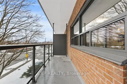
$2,299/mo
2 bd1 ba1 pk700-1100 ft²
473 Linwell Road 201
441 - Bunting/Linwell, St. Catharines
Multiplex · MLS® X12940002 · EXP REALTY
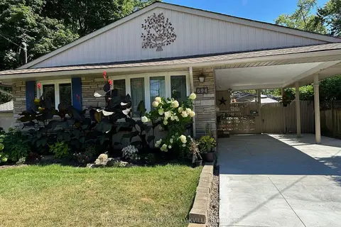
$2,375/mo
3 bd2 ba2 pk1100-1500 ft²
694 Niagara Street Upper
441 - Bunting/Linwell, St. Catharines
Detached · MLS® X13738986 · ROYAL LEPAGE REALTY PLUS OAKVILLE
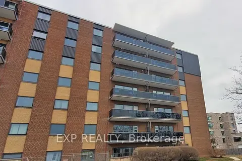
$2,199/mo
1 bd1 ba1 pk700-1100 ft²
375 Scott Street
442 - Vine/Linwell, St. Catharines
Multiplex · MLS® X12940006 · EXP REALTY
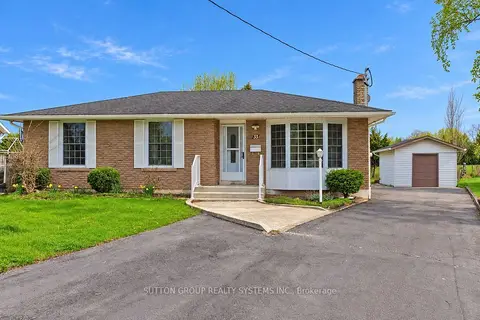
$2,200/mo
2 bd1 ba2 pk700-1100 ft²
33 CRESCENTWOOD Drive Main
443 - Lakeport, St. Catharines
Detached · MLS® X13876984 · SUTTON GROUP REALTY SYSTEMS INC.
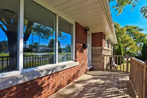
$2,200/mo
3 bd1 ba2 pk700-1100 ft²
40 Jacobson Avenue
461 - Glendale/Glenridge, St. Catharines
Detached · MLS® X13879716 · SUTTON GROUP REALTY SYSTEMS INC.
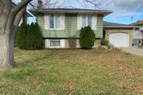 New
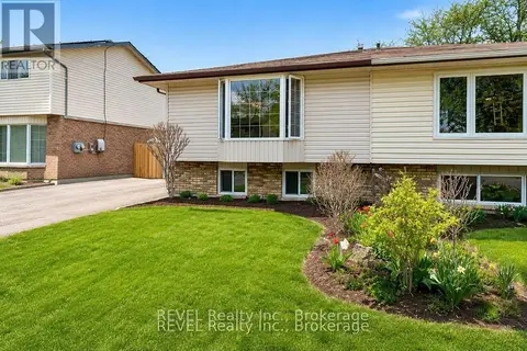
$2,200/mo
3 bd1 ba3 pk700-1100 ft²
9 STONEGATE Drive Upper
455 - Secord Woods, St. Catharines
Detached · MLS® X14097418 · RE/MAX GARDEN CITY REALTY INC, BROKERAGE
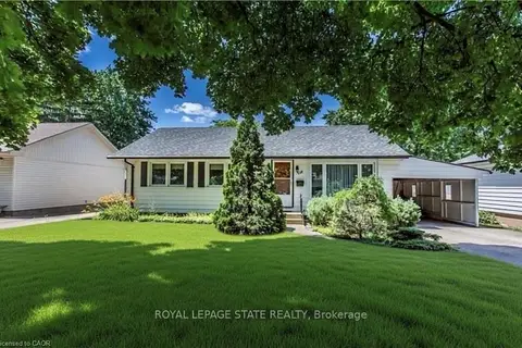
$2,150/mo
2 bd1 ba1 pk700-1100 ft²
52 BULA Drive UPPER
443 - Lakeport, St. Catharines
Semi-Detached · MLS® X13709020 · REVEL Realty Inc., Brokerage
$2,150/mo
3 bd1 ba3 pk700-1100 ft²
118 Jacobson Avenue Upper
461 - Glendale/Glenridge, St. Catharines
Detached · MLS® X13753890 · ROYAL LEPAGE STATE REALTY