4783 Apple Blossom Circle Upper
East Credit, Mississauga, L5V 3C7
$3,700/mo
- 4 bedrooms
- 3 bathrooms
- 3 parking
- 2000-2500 sq ft
Listed 42 days ago · MLS® W13751560
About this home
Spacious and well-maintained 4-bedroom detached home available for lease in the desirable Mavis & Eglinton area of Mississauga. This bright and comfortable home offers 4 generously sized bedrooms, 3 washrooms, and convenient main-floor laundry. The home has been recently painted and is ideal for a family looking for a clean and comfortable place in a convenient location. Close to grocery stores, schools, public transit and everyday amenities, with quick access to major highways. Parking available for up to 3 vehicles. Main and upper floors only; basement is not included. Available starting 1st November 2026. Tenant will be required to provide valid identification, proof of income/employment and a full credit report. *For Additional Property Details Click The Brochure Icon Below
Details
- Type
- Detached
- Style
- 2-Storey
- Size
- 2000-2500 sq ft
- Basement
- None
- Garage
- Attached
- Kitchens
- 1
- Neighbourhood
- East Credit
- Municipality
- Mississauga
- Rent increase limit
- Depends on when the unit was first lived in: before Nov. 15, 2018 it’s covered by Ontario’s yearly limit (2.1% in 2026); after, there’s no cap.
Interior
- Bedrooms
- 4 above ground
- Bathrooms
- 1 × 2-piece, 2 × 3-piece
- Rooms
- 4 above ground
- Family room or den
- Yes
- Fireplace
- Yes
- Laundry
- In Bathroom
- Features
- Auto Garage Door Remote, Carpet Free, Countertop Range
- Furnished
- Unfurnished
Heating, cooling and services
- Heating
- Forced Air, Gas
- Air conditioning
- Central Air
- Water and sewer
- Sewer
Building and exterior
- Style
- 2-Storey
- Exterior
- Brick
- Roof
- Asphalt Shingle
- Foundation
- Concrete
- Faces
- East
Parking
- Garage spaces
- 2
- Total parking
- 3
- Driveway and parking
- Available
Rental terms
- Rent includes
- Parking
More
- Possession
- 1st November 2026
- Cross street
- Mavis and Eglinton intersection
Rooms
| Room | Level | Size | Features |
|---|---|---|---|
| Bedroom | Second | 5.18 × 4.6 m (17' × 15'1") | |
| Bedroom 2 | Second | 3.05 × 5.49 m (10' × 18') | |
| Bedroom 3 | Second | 3.51 × 3.54 m (11'6" × 11'7") | |
| Bedroom 4 | Second | 3.35 × 3.54 m (11' × 11'7") | |
| Family Room | Main | 4.39 × 3.78 m (14'5" × 12'5") | |
| Living Room | Main | 5.36 × 3.78 m (17'7" × 12'5") | |
| Breakfast | Main | 3.38 × 2.47 m (11'1" × 8'1") |
Location
Location is approximate. See nearby homes on the map
The neighbourhood
Getting around Walkable
- 🚆 Erindale GO2.1 km
Within a 10-minute walk: 3 grocery stores, 6 cafés and restaurants, 5 parks, 3 pharmacies. Nearest grocery: Rabba (650 m). Nearest park: Sandford Farm Park (300 m).
Schools nearby
Elementary
- St. Bernadette Elementary School Catholic
EQAO: Gr 6 reading 50%, math 25%12 min walk - Edenrose Public School
EQAO: Gr 3 reading 75%, math 63%17 min walk - Corpus Christi School Catholic
EQAO: Gr 6 reading 95%, math 63%18 min walk - St. David of Wales Separate School Catholic
EQAO: Gr 6 reading 95%, math 45%1.2 km
Secondary
- Rick Hansen Secondary School
EQAO: Gr 9 math 50%, literacy test 83%1.3 km
EQAO: share of students meeting the provincial standard (2024–25). Ontario average: Gr 6 reading 86%, math 51%; Gr 9 math 55%; literacy test 83%.
Closest schools, not school zones. Check which school serves this address with the school board before relying on it.
Who lives here postal area L5V
- Owners / renters
- 83% / 17%
- Median household income
- $126,000
- Average age
- 40
- Children under 15
- 14%
- Homes
- 50% detached, 5% high-rise
- Commute by transit
- 9%
- Population
- 49,149
Languages spoken most at home besides English: Urdu 6.5%, Yue (Cantonese) 3.7%, Arabic 3.4%, Mandarin 2.8%.
Flood and conservation No mapped hazard
Not inside a mapped flood plain or regulated area.
Screening maps only. Ask the conservation authority for a property inquiry before relying on this.
Safety
Crime Severity Index for Peel Region (Mississauga/Brampton) police: 59 vs 57 for Ontario (2025).
Police-reported figures for the whole police service area, not this street. Rates use the area’s resident population.
Development nearby
No planning applications within 500 m in the last five years.
Rezoning, site plan, subdivision and condominium applications filed with the city.
Distances are approximate. Places © OpenStreetMap contributors. Neighbourhood figures: Statistics Canada, 2021 Census. School results: EQAO via Ontario Data Catalogue (Open Government Licence – Ontario). Crime Severity Index: Statistics Canada.
Living here
Commute
To Union Station (downtown Toronto): 24 km. Transit times · Driving times
Noise 1 source nearby
- 🛣️ Highway 403400 m
Distances from the map, not noise measurements. Visit at rush hour to judge for yourself.
Internet High-speed
50/10 Mbps or faster available here by cable, fibre or DSL (the federal high-speed target).
From the federal broadband map. Check exact speeds and providers for the address.
Short-term rentals
Only in your principal residence, with a City licence: not allowed in investment properties. Up to 180 nights a year, no more than 30 in a row.
Roads, rail, airports and planned stations © OpenStreetMap contributors. Internet: Innovation, Science and Economic Development Canada, National Broadband Data.
Listed by ICI SOURCE REAL ASSET SERVICES INC..
Listing information provided by PropTx Innovations Inc. and TRREB; deemed reliable but not guaranteed accurate by PropTx.
Similar homes nearby
See more in Mississauga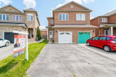
$3,700/mo
3+1 bd4 ba3 pk1100-1500 ft²
824 Khan Crescent
East Credit, Mississauga
Semi-Detached · MLS® W13885912 · HOMELIFE/MIRACLE REALTY LTD
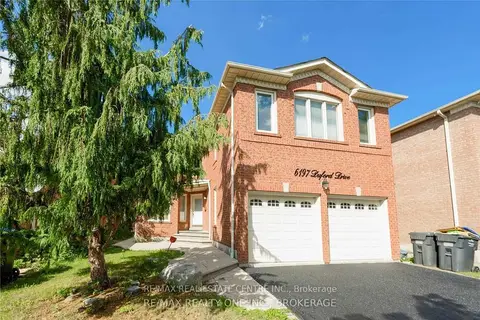
$3,695/mo
4+1 bd3 ba4 pk2500-3000 ft²
6197 Duford Drive Upper
East Credit, Mississauga
Detached · MLS® W13815950 · RE/MAX REAL ESTATE CENTRE INC.
$3,600/mo
3 bd3 ba4 pk1100-1500 ft²
1538 Cuthbert Avenue
East Credit, Mississauga
Detached · MLS® W13726248 · RE/MAX REAL ESTATE CENTRE INC.
$3,800/mo
3+1 bd4 ba4 pk2000-2500 ft²
5590 Loonlake Avenue
East Credit, Mississauga
Detached · MLS® W13854442 · RIGHT AT HOME REALTY
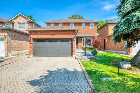
$3,600/mo
3 bd3 ba3 pk1500-2000 ft²
4230 Credit Pointe Drive Main
East Credit, Mississauga
Detached · MLS® W13866054 · ROYAL LEPAGE CERTIFIED REALTY
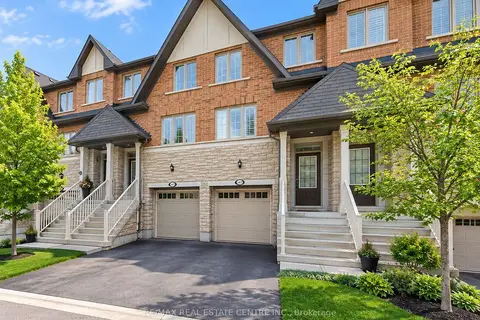
$3,500/mo
3+1 bd4 ba2 pk1500-2000 ft²
1413 Granrock Crescent
East Credit, Mississauga
Att/Row/Townhouse · MLS® W13883012 · RE/MAX REAL ESTATE CENTRE INC.
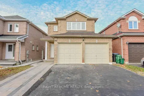
$3,950/mo
4 bd3 ba6 pk2000-2500 ft²
903 Blyleven Boulevard
East Credit, Mississauga
Detached · MLS® W13821080 · RIGHT AT HOME REALTY
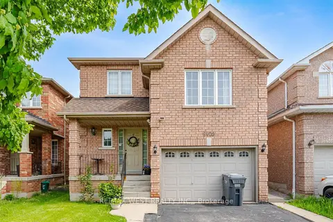
$3,400/mo
3 bd3 ba2 pk1500-2000 ft²
6409 Torre Drive Upper
East Credit, Mississauga
Detached · MLS® W13776550 · RE/MAX WEST REALTY INC.