475 Beresford Path 1
Central, Oshawa, L1H 0B2
$2,499/mo
- 2 bedrooms
- 2 bathrooms
- 2 parking
- 1000-1199 sq ft
Listed 32 days ago · MLS® E13801322
About this home
Modern End-Unit Stacked Condo Townhouse For Lease In Central Oshawa! Bright And Spacious 2-Bedroom, 2-Bathroom End Unit Featuring 2 Parking Spots, An Open-Concept Layout, Modern Kitchen With Centre Island And Sleek Countertops, Large Windows, Private Balcony, And In-Suite Laundry. Conveniently Located Minutes From Hwy 401, Public Transit, Schools, Parks, Shopping, Restaurants, And Gas Stations, And Approximately 15 Minutes To Oshawa GO Station And Durham College. A Newer Home Offering Comfort, Style, And Convenience!
Details
- Type
- Condo Townhouse
- Style
- Stacked Townhouse
- Age
- 0-5 years
- Size
- 1000-1199 sq ft
- Basement
- None
- Garage
- Surface
- Kitchens
- 1
- Neighbourhood
- Central
- Municipality
- Oshawa
- Rent increase limit
- Probably not covered: units first occupied after Nov. 15, 2018 have no yearly cap in Ontario, so ask the landlord.
Interior
- Bedrooms
- 2 above ground
- Bathrooms
- 1 × 3-piece, 1 × 2-piece (main)
- Rooms
- 7 above ground
- Family room or den
- No
- Fireplace
- No
- Laundry
- Ensuite
- Furnished
- Unfurnished
Heating, cooling and services
- Heating
- Forced Air, Gas
- Air conditioning
- Central Air
Building and exterior
- Style
- Stacked Townhouse
- Exterior
- Brick
- Age
- 0-5 years
Parking
- Total parking
- 2
- Driveway and parking
- Surface
Condo
- Balcony
- Open
- Exposure
- North West
- Pets
- Yes-with Restrictions
- Property manager
- First Service Residential
More
- Possession
- Immediately
- Cross street
- Ritson Rd. S And Dean Ave.
Rooms
| Room | Level | Size | Features |
|---|---|---|---|
| Living Room | Main | 4.02 × 3.75 m (13'2" × 12'4") | Large Window |
| Dining Room | Main | 3.35 × 2.65 m (11' × 8'8") | Large Window |
| Kitchen | Main | 3.66 × 2.53 m (12' × 8'4") | Stainless Steel Appl, W/O To Balcony, Quartz Counter |
| Bathroom | Main | ||
| Primary Bedroom | Second | 3.47 × 3.05 m (11'5" × 10') | |
| Bedroom 2 | Second | 3.08 × 2.8 m (10'1" × 9'2") | |
| Bathroom | Second | 3 Pc Bath, Quartz Counter | |
| Laundry | Second |
History of this address
3 earlier listings at this address, with sold and leased prices. Create a free account or sign in to see them.
Location
Location is approximate. See nearby homes on the map
The neighbourhood
Getting around Somewhat walkable
- 🚆 Whitby GO7.9 km
Within a 10-minute walk: 2 grocery stores, 6 cafés and restaurants, 8 parks. Nearest grocery: The Grocery Outlet (850 m). Nearest park: Mitchell Park (300 m).
Schools nearby
Elementary
- St. Hedwig Catholic School Catholic
EQAO: Gr 6 reading 93%, math 27%6 min walk - David Bouchard Public School
EQAO: Gr 6 reading 65%, math 28%7 min walk - Clara Hughes Public School
EQAO: Gr 6 reading 74%, math 20%17 min walk - Village Union Public School
EQAO: Gr 6 reading 67%, math 20%1.6 km
Secondary
- Monsignor John Pereyma Catholic Secondary School Catholic
EQAO: Gr 9 math 38%, literacy test 87%13 min walk - Durham Alternative Secondary School - Oshawa1.4 km
EQAO: share of students meeting the provincial standard (2024–25). Ontario average: Gr 6 reading 86%, math 51%; Gr 9 math 55%; literacy test 83%.
Closest schools, not school zones. Check which school serves this address with the school board before relying on it.
Who lives here postal area L1H
- Owners / renters
- 59% / 41%
- Median household income
- $73,500
- Average age
- 42
- Children under 15
- 15%
- Homes
- 55% detached, 8% high-rise
- Commute by transit
- 6%
- Population
- 32,298
Languages spoken most at home besides English: Tagalog (Pilipino, Filipino) 0.6%, Spanish 0.5%, Polish 0.4%, Tamil 0.4%.
Flood and conservation No mapped hazard
Not inside a mapped flood plain or regulated area in Central Lake Ontario Conservation’s mapping.
Screening maps only. Ask the conservation authority for a property inquiry before relying on this.
Safety
Crime Severity Index for Durham Region (Oshawa/Whitby/Ajax) police: 43 vs 57 for Ontario (2025).
Police-reported figures for the whole police service area, not this street. Rates use the area’s resident population.
Distances are approximate. Places © OpenStreetMap contributors. Neighbourhood figures: Statistics Canada, 2021 Census. School results: EQAO via Ontario Data Catalogue (Open Government Licence – Ontario). Flood and regulation mapping: Central Lake Ontario Conservation open data. Crime Severity Index: Statistics Canada.
Living here
Commute
To Union Station (downtown Toronto): 51 km. Transit times · Driving times
Noise 2 sources nearby
- 🛣️ Highway 401450 m
- 🚆 Rail line (Belleville Subdivision)200 m
Distances from the map, not noise measurements. Visit at rush hour to judge for yourself.
Internet High-speed
50/10 Mbps or faster available here by cable, fibre or DSL (the federal high-speed target).
From the federal broadband map. Check exact speeds and providers for the address.
Roads, rail, airports and planned stations © OpenStreetMap contributors. Internet: Innovation, Science and Economic Development Canada, National Broadband Data.
Listed by HOMELIFE/FUTURE REALTY INC..
Listing information provided by PropTx Innovations Inc. and TRREB; deemed reliable but not guaranteed accurate by PropTx.
Similar homes nearby
See more in Oshawa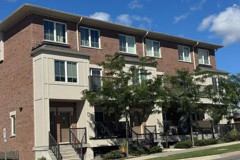
$2,450/mo
2 bd2 ba2 pk1000-1199 ft²
485 Beresford Path 10
Central, Oshawa
Condo Townhouse · MLS® E13871844 · CENTURY 21 PROPERTY ZONE REALTY INC.
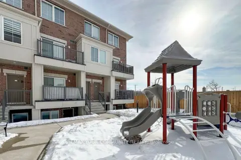
$2,400/mo
2 bd2 ba2 pk1000-1199 ft²
490 BERESFORD Path 11
Central, Oshawa
Condo Townhouse · MLS® E13784100 · REMAX YOUR COMMUNITY REALTY
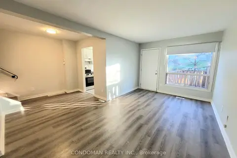
$2,350/mo
2+1 bd1 ba1 pk700-799 ft²
477 Dean Avenue 24
Central, Oshawa
Condo Townhouse · MLS® E13884132 · CONDOMAN REALTY INC.
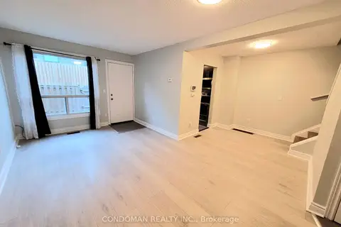
$2,350/mo
2+1 bd1 ba1 pk700-799 ft²
477 Dean Avenue 29
Central, Oshawa
Condo Townhouse · MLS® E14032956 · CONDOMAN REALTY INC.
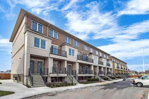
$2,250/mo
2 bd2 ba1 pk900-999 ft²
480 Beresford Path 19
Central, Oshawa
Condo Townhouse · MLS® E13869234 · RE/MAX REALTRON REALTY INC.
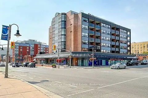
$2,100/mo
1 bd1 ba1 pk700-799 ft²
80 Athol Street E 205
Central, Oshawa
Condo Apartment · MLS® E14030764 · Royal LePage Frank Real Estate
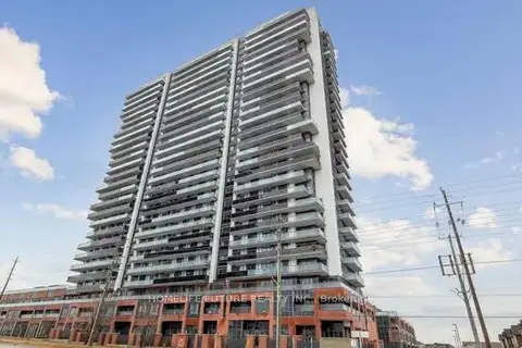
$2,499/mo
2 bd2 ba1 pk800-899 ft²
2545 Simcoe Street 1608
Windfields, Oshawa
Condo Apartment · MLS® E13882422 · HOMELIFE/FUTURE REALTY INC.
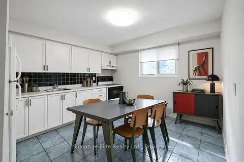
$2,500/mo
Reduced $100
3 bd2 ba1 pk1000-1199 ft²
730 Cedar Street 7
Lakeview, Oshawa
Condo Townhouse · MLS® E13705906 · Signature Elite Realty Ltd.