47 Queen Street S 11
Streetsville, Mississauga, L5M 1K5
$18/mo
Listed 91 days ago · MLS® W13588956
About this home
Bright sunlit office space in Streetsville on the second floor with a wide staircase and elevator access. Walk to all kinds of Restaurants within a short walk. One reserved parking spot. ******* gross rent is $ 1692 dollars per month **************
Details
- Type
- Office
- Age
- 6-15 years
- Lot
- 30 × 55 ft
- Garage
- Outside/Surface
- Property tax
- $11 (2026)
- Neighbourhood
- Streetsville
- Municipality
- Mississauga
Heating, cooling and services
- Heating
- Gas Forced Air Open
- Air conditioning
- Yes
- Water and sewer
- Sanitary+Storm Available
- Utilities
- Yes
Building and exterior
- Age
- 6-15 years
- Building area
- 700 Square Feet
Rental terms
- Minimum term
- 12 months
More
- Possession
- tba
- Cross street
- Queen street south and Ellen St. South of Britannia
- Business type
- Professional Office
Location
Location is approximate. See nearby homes on the map
The neighbourhood
Getting around Very walkable
- 🚆 Streetsville GO1.4 km
Within a 10-minute walk: 4 grocery stores, 23 cafés and restaurants, 2 parks, 3 pharmacies. Nearest grocery: Indian Frootland (opening soon) (400 m). Nearest park: River Grove Park (800 m).
Schools nearby
Elementary
- Willow Way Public School
EQAO: Gr 3 reading 75%, math 57%12 min walk - Ray Underhill Public School
EQAO: Gr 3 reading 79%, math 61%13 min walk - Our Lady of Good Voyage Catholic School Catholic
EQAO: Gr 6 reading 100%, math 64%14 min walk - Saint Joseph Elementary School Catholic
EQAO: Gr 6 reading 88%, math 56%14 min walk
Secondary
- Dolphin Senior Public School4 min walk
- Streetsville Secondary School
EQAO: Gr 9 math 65%, literacy test 91%13 min walk - Hazel McCallion Senior Public School14 min walk
EQAO: share of students meeting the provincial standard (2024–25). Ontario average: Gr 6 reading 86%, math 51%; Gr 9 math 55%; literacy test 83%.
Closest schools, not school zones. Check which school serves this address with the school board before relying on it.
Who lives here postal area L5M
- Owners / renters
- 77% / 23%
- Median household income
- $118,000
- Average age
- 40
- Children under 15
- 16%
- Homes
- 46% detached, 11% high-rise
- Commute by transit
- 9%
- Population
- 106,468
Languages spoken most at home besides English: Urdu 5.8%, Arabic 5.3%, Mandarin 4.8%, Yue (Cantonese) 2.4%.
Flood and conservation No mapped hazard
Not inside a mapped flood plain or regulated area.
Screening maps only. Ask the conservation authority for a property inquiry before relying on this.
Safety
Crime Severity Index for Peel Region (Mississauga/Brampton) police: 59 vs 57 for Ontario (2025).
Police-reported figures for the whole police service area, not this street. Rates use the area’s resident population.
Development nearby 4 active
-
120, 128,&154 Queen St S · 400 mDevelopment application · In process · applied 2025Two mixed use buildings with retail at grade (526 homes)
-
150 Rutledge Rd · 500 mDevelopment application · In process · applied 202410 storey apartment with 301 apartment dwellings and 4 townhouse dwellings (total of 305 units) (305 homes)
-
120, 128, 142, 154, 158 Queen and 169 Crumbie St · 400 mDevelopment application · Appealed · applied 20245 mixed use buildings with heights ranging from 2 to 15 storey, new public roads and public and private open space (1808 homes)
-
29 Queen Street South · 150 mDevelopment application · In process · applied 2023Demolish existing building and build one two storey mixed use building with medical and residential (2 homes)
Rezoning, site plan, subdivision and condominium applications filed with the city.
Distances are approximate. Places © OpenStreetMap contributors. Neighbourhood figures: Statistics Canada, 2021 Census. School results: EQAO via Ontario Data Catalogue (Open Government Licence – Ontario). Crime Severity Index: Statistics Canada. Planning applications: City of Mississauga open data.
Living here
Commute
To Union Station (downtown Toronto): 28 km. Transit times · Driving times
Noise 1 source nearby
- 🚆 Rail line (Galt Subdivision)150 m
Distances from the map, not noise measurements. Visit at rush hour to judge for yourself.
Internet High-speed
50/10 Mbps or faster available here by cable, fibre or DSL (the federal high-speed target).
From the federal broadband map. Check exact speeds and providers for the address.
Roads, rail, airports and planned stations © OpenStreetMap contributors. Internet: Innovation, Science and Economic Development Canada, National Broadband Data.
Listed by RE/MAX REALTY SPECIALISTS INC..
Listing information provided by PropTx Innovations Inc. and TRREB; deemed reliable but not guaranteed accurate by PropTx.
Similar homes nearby
See more in Mississauga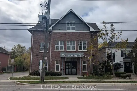 New
$22/mo
46 Queen Street S 302
Streetsville, Mississauga
Office · MLS® W14096794 · LPT REALTY
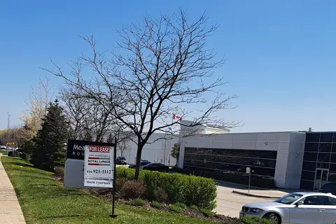
$18/mo
Reduced $2
2360 Meadowpine Boulevard
Meadowvale Business Park, Mississauga
Office · MLS® W6050315 · ROYAL LEPAGE REAL ESTATE SERVICES LTD.
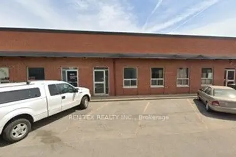
$18/mo
2364 Haines Road 12
Dixie, Mississauga
Industrial · MLS® W9040501 · REN/TEX REALTY INC.
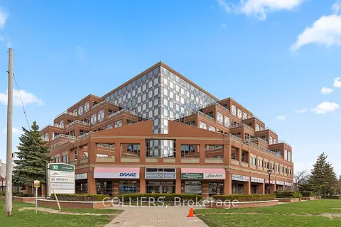
$18/mo
25 Watline Avenue 205
Gateway, Mississauga
Office · MLS® W9299147 · COLLIERS
$18/mo
Reduced $2
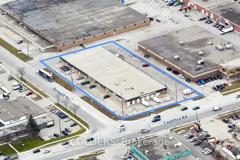
2390 Cawthra Road 8
Dixie, Mississauga
Industrial · MLS® W12578362 · COLLIERS
$18/mo
Reduced $2
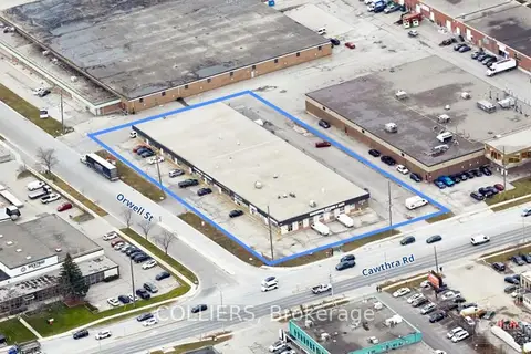
2390 Cawthra Road 5-6
Dixie, Mississauga
Industrial · MLS® W12578444 · COLLIERS
$18/mo
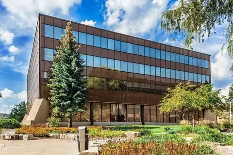
2000 Argentia Road PL2*
Meadowvale Business Park, Mississauga
Office · MLS® W12629672 · RE/MAX GOLD REALTY INC.
$18/mo
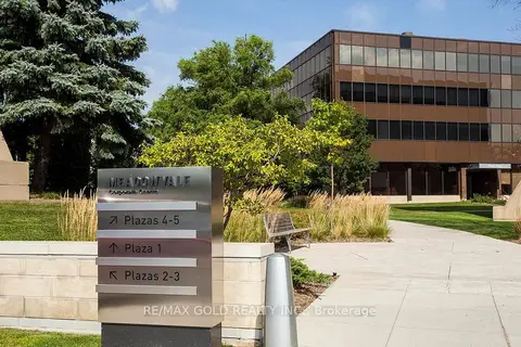
2000 Argentia Road PL5
Meadowvale Business Park, Mississauga
Office · MLS® W12749318 · RE/MAX GOLD REALTY INC.