461 Pharmacy Avenue
Clairlea-Birchmount, Toronto, M1L 3G7
$79,000
Listed 70 days ago · MLS® E13662404
About this home
You can become a proud owner of a restaurant! It is an incredible opportunity to own a Restaurant name is Thai Fusion specially Chinese and Bangladeshi food This business has a loyal customer base from the south Asian and East African communities. A fully operational restaurant is for sale without property near Bangla Town at the busy Bangladesh Plaza, located at the Danforth-Pharmacy intersection in Toronto Ample parking space, Main floor: 750 square feet and Basement: 700 square feet, One washroom at Main floor and 2nd washroom at Basement This restaurant top to bottom renovated and fully equipped kitchen This is a great opportunity to own a restaurant in a high-traffic area! Please don't go property directly.
Details
- Type
- Sale Of Business
- Lot
- 20 × 50 ft
- Garage
- Plaza
- Property tax
- $3,832 (2025)
- Neighbourhood
- Clairlea-Birchmount
- Municipality
- Toronto E04
Heating, cooling and services
- Heating
- Gas Forced Air Closed
- Air conditioning
- Yes
- Water and sewer
- Sanitary
- Utilities
- Available
Building and exterior
- Building area
- 750 Square Feet
More
- Possession
- Immediate
- Cross street
- Pharmacy Ave/ St.Clair Ave
- Business type
- Restaurant
Location
Location is approximate. See nearby homes on the map
Recent sales nearby
See what similar homes within 1 km sold for in the last year. Create a free account or sign in to see them.
The neighbourhood
Getting around Walkable
- 🚇 Warden Subway16 min walk
- 🚇 Victoria Park Subway18 min walk
- 🚆 Danforth GO2.3 km
Within a 10-minute walk: 1 grocery store, 4 cafés and restaurants, 10 parks, 3 pharmacies. Nearest grocery: No Frills (700 m). Nearest park: Regents Park (300 m).
Schools nearby
Elementary
- Regent Heights Public School
EQAO: Gr 6 reading 90%, math 33%4 min walk - Our Lady of Fatima Catholic School Catholic
EQAO: Gr 6 reading 90%, math 40%11 min walk - Crescent Town Elementary School
EQAO: Gr 3 reading 78%, math 59%15 min walk - George Webster Elementary School
EQAO: Gr 6 reading 67%, math 20%15 min walk
Secondary
- Samuel Hearne Public School1.2 km
- W. A. Porter Collegiate Institute
EQAO: Gr 9 math 61%, literacy test 89%1.3 km - Gordon A Brown Middle School1.4 km
EQAO: share of students meeting the provincial standard (2024–25). Ontario average: Gr 6 reading 86%, math 51%; Gr 9 math 55%; literacy test 83%.
Closest schools, not school zones. Check which school serves this address with the school board before relying on it.
Who lives here postal area M1L
- Owners / renters
- 51% / 49%
- Median household income
- $78,000
- Average age
- 40
- Children under 15
- 17%
- Homes
- 27% detached, 34% high-rise
- Commute by transit
- 35%
- Population
- 35,833
Languages spoken most at home besides English: Bengali 8%, Tagalog (Pilipino, Filipino) 2.6%, Urdu 2.1%, Yue (Cantonese) 2%.
Flood and conservation No mapped hazard
Not inside a mapped flood plain or regulated area.
Screening maps only. Ask the conservation authority for a property inquiry before relying on this.
Safety
Major crime per resident in Clairlea-Birchmount (2025): 45% above the Toronto average, about the same from the year before.
- Assault70% above average
- Break and enterabout average
- Auto theft28% above average
- Robbery38% below average
- Theft from vehicles37% above average
- Shootings20% above average
Crime Severity Index for Toronto police: 60 vs 57 for Ontario (2025).
Police-reported figures for the whole neighbourhood, not this street. Rates use the area’s resident population.
Development nearby
No planning applications within 500 m in the last five years.
Rezoning, site plan, subdivision and condominium applications filed with the city.
Distances are approximate. Places © OpenStreetMap contributors. Neighbourhood figures: Statistics Canada, 2021 Census. School results: EQAO via Ontario Data Catalogue (Open Government Licence – Ontario). Neighbourhood crime: Toronto Police Service Public Safety Data Portal (Open Government Licence – Toronto Police Service). Crime Severity Index: Statistics Canada.
Living here
Commute
To Union Station (downtown Toronto): 10 km. Transit times · Driving times
Noise Nothing major nearby
No highway within 500 m, rail line within 300 m, or airport flight path nearby.
Distances from the map, not noise measurements. Visit at rush hour to judge for yourself.
What can be built CL
Commercial Local (with a site-specific exception).
From Toronto’s Zoning By-law 569-2013 map. Lot size, setbacks and trees decide what actually fits; check with a planner before you buy.
Building permits
No building permits at this address since 2014.
3 permits on this block of the street in the last 2 years, including 1 new home.
Permits filed with the City of Toronto. A permit doesn’t mean the work passed final inspection.
Trees
35 City street trees within 100 m. That’s about the Toronto average of 42.
Trees on City boulevards only, not private yards or parks.
Internet High-speed
50/10 Mbps or faster available here by cable, fibre or DSL (the federal high-speed target).
From the federal broadband map. Check exact speeds and providers for the address.
Zoning, heritage, building permits and street trees: City of Toronto open data (Open Government Licence – Toronto). Roads, rail, airports and planned stations © OpenStreetMap contributors. Internet: Innovation, Science and Economic Development Canada, National Broadband Data.
Listed by HOMELIFE/MIRACLE REALTY LTD.
Listing information provided by PropTx Innovations Inc. and TRREB; deemed reliable but not guaranteed accurate by PropTx.
Similar homes nearby
See more in Toronto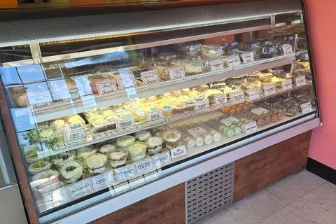
$65,000
Reduced $6,900
3441 St. Clair Avenue E
Clairlea-Birchmount, Toronto
Sale Of Business · MLS® E13563706 · HOMELIFE/MIRACLE REALTY LTD

$79,000
Reduced $20,000
1 ba
510 Yonge Street Truck
Bay Street Corridor, Toronto
Sale Of Business · MLS® C12211571 · BAY STREET GROUP INC.
$79,000
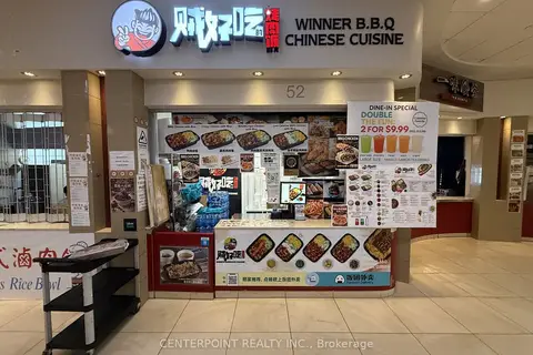
384 Yonge Street 52
Bay Street Corridor, Toronto
Sale Of Business · MLS® C13468024 · CENTERPOINT REALTY INC.
$79,000
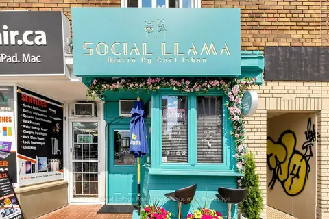
2107 Yonge Street
Yonge-Eglinton, Toronto
Sale Of Business · MLS® C13542384 · Royal LePage Real Estate Associates
$79,000
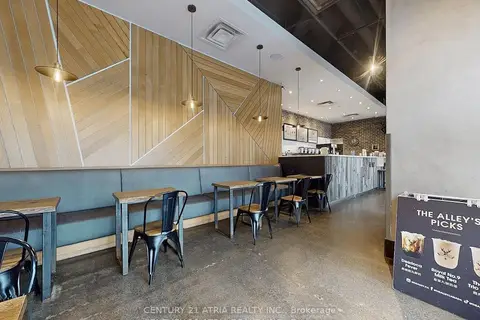
382 Yonge Street 1
Bay Street Corridor, Toronto
Sale Of Business · MLS® C13593500 · CENTURY 21 ATRIA REALTY INC.
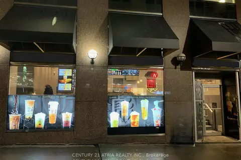
$79,000
1 ba
439A Yonge Street
Bay Street Corridor, Toronto
Sale Of Business · MLS® C13602682 · CENTURY 21 ATRIA REALTY INC.
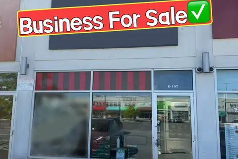
$79,000
Reduced $40,000
3262 Midland Avenue E107
Milliken, Toronto
Sale Of Business · MLS® E13236238 · BAY STREET GROUP INC.
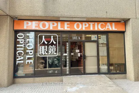
$79,000
2347 Kennedy Road 101A
Agincourt South-Malvern West, Toronto
Sale Of Business · MLS® E13760914 · HC REALTY GROUP INC.