458 Dawes Road
East York, Toronto, M4B 2E9
$649,900
Listed 84 days ago · MLS® E13612402
About this home
An exceptional opportunity to own commercial real estate in the heart of East York's established Woodbine Gardens community. This versatile approximately 1,000 sq. ft street-level retail space fronts directly onto Dawes Road offering excellent visibility, convenient access, and street-front parking for cutomers. Currently operating as a combination bodega, Filipino kitchen, and food mart the property is well-equipped for food service with an existing fire suppression system, 200-amp electrical service, and a functional layout ready for a variety of retail, restaurant, or service-based businesses. The property also features a full basement with washroom and abundant storage space providing valuable operational flexibility. Whether you're a small business owner looking to own instead of lease or an investor seeking a well-located commercial asset, this property offers outstanding potential. The real estate is being offered for sale, with the business and buisness assets also available for those interested in a turnkey opportunity. Situated in a thriving neighborhood with CLO>7*22 zoning, this is a rare chance to secure a highly visible commercial property in a desirable East York location with long-term investment potential.
Details
- Type
- Commercial Retail
- Lot
- 21 × ? ft
- Garage
- Street
- Property tax
- $5,764 (2026)
- Neighbourhood
- East York
- Municipality
- Toronto E03
Heating, cooling and services
- Heating
- Gas Forced Air Open
- Air conditioning
- Yes
- Water and sewer
- Sanitary
- Utilities
- Yes
Building and exterior
- Building area
- 1,000 Square Feet
More
- Possession
- Flexible
- Cross street
- Main St. and Danforth Ave.
- Business type
- Hospitality/Food Related
Location
Location is approximate. See nearby homes on the map
Recent sales nearby
See what similar homes within 1 km sold for in the last year. Create a free account or sign in to see them.
The neighbourhood
Getting around Somewhat walkable
- 🚇 Victoria Park Subway17 min walk
- 🚇 Main Street Subway1.6 km
- 🚆 Danforth GO1.8 km
Within a 10-minute walk: 1 grocery store, 3 cafés and restaurants, 4 parks, 1 pharmacy. Nearest grocery: No Frills (650 m). Nearest park: Joshua Cronkwright Parkette (100 m).
Schools nearby
Elementary
- George Webster Elementary School
EQAO: Gr 6 reading 67%, math 20%3 min walk - Crescent Town Elementary School
EQAO: Gr 3 reading 78%, math 59%12 min walk - Regent Heights Public School
EQAO: Gr 6 reading 90%, math 33%14 min walk - Our Lady of Fatima Catholic School Catholic
EQAO: Gr 6 reading 90%, math 40%14 min walk
Secondary
- Gordon A Brown Middle School14 min walk
- D A Morrison Middle School1.4 km
- Samuel Hearne Public School1.4 km
EQAO: share of students meeting the provincial standard (2024–25). Ontario average: Gr 6 reading 86%, math 51%; Gr 9 math 55%; literacy test 83%.
Closest schools, not school zones. Check which school serves this address with the school board before relying on it.
Who lives here postal area M4B
- Owners / renters
- 48% / 52%
- Median household income
- $78,000
- Average age
- 42
- Children under 15
- 15%
- Homes
- 43% detached, 28% high-rise
- Commute by transit
- 27%
- Population
- 18,612
Languages spoken most at home besides English: Greek 1.9%, Tagalog (Pilipino, Filipino) 1.8%, Bengali 0.9%, Spanish 0.8%.
Flood and conservation No mapped hazard
Not inside a mapped flood plain or regulated area.
Screening maps only. Ask the conservation authority for a property inquiry before relying on this.
Safety
Major crime per resident in O'Connor-Parkview (2025): about the Toronto average, about the same from the year before.
- Assaultabout average
- Break and enter59% below average
- Auto theft20% below average
- Robbery44% below average
- Theft from vehiclesabout average
- Shootings41% below average
Crime Severity Index for Toronto police: 60 vs 57 for Ontario (2025).
Police-reported figures for the whole neighbourhood, not this street. Rates use the area’s resident population.
Development nearby
-
416 DAWES RD · 150 mSite Plan · Closed · applied 2022A site plan application for a new public library building of 4-storeys (16.4 metres) and with a total gross floor area of 2,457 m2.Application details
Rezoning, site plan, subdivision and condominium applications filed with the city.
Distances are approximate. Places © OpenStreetMap contributors. Neighbourhood figures: Statistics Canada, 2021 Census. School results: EQAO via Ontario Data Catalogue (Open Government Licence – Ontario). Neighbourhood crime: Toronto Police Service Public Safety Data Portal (Open Government Licence – Toronto Police Service). Crime Severity Index: Statistics Canada. Planning applications: City of Toronto open data.
Living here
Commute
To Union Station (downtown Toronto): 9 km. Transit times · Driving times
Noise Nothing major nearby
No highway within 500 m, rail line within 300 m, or airport flight path nearby.
Distances from the map, not noise measurements. Visit at rush hour to judge for yourself.
What can be built RT
Residential Townhouse (with a site-specific exception).
- ✅ Up to 6 homes on the lot (multiplex): a sixplex ward
- ✅ Garden suite in the backyard
- ✅ Laneway suite, if the lot backs onto a lane
From Toronto’s Zoning By-law 569-2013 map. Lot size, setbacks and trees decide what actually fits; check with a planner before you buy.
Building permits
No building permits at this address since 2014.
1 permit on this block of the street in the last 2 years.
Permits filed with the City of Toronto. A permit doesn’t mean the work passed final inspection.
Trees
37 City street trees within 100 m, mostly lindens. That’s about the Toronto average of 42.
Trees on City boulevards only, not private yards or parks.
Internet High-speed
50/10 Mbps or faster available here by cable, fibre or DSL (the federal high-speed target).
From the federal broadband map. Check exact speeds and providers for the address.
Zoning, heritage, building permits and street trees: City of Toronto open data (Open Government Licence – Toronto). Roads, rail, airports and planned stations © OpenStreetMap contributors. Internet: Innovation, Science and Economic Development Canada, National Broadband Data.
Listed by ROYAL LEPAGE RCR REALTY.
Listing information provided by PropTx Innovations Inc. and TRREB; deemed reliable but not guaranteed accurate by PropTx.
Similar homes nearby
See more in Toronto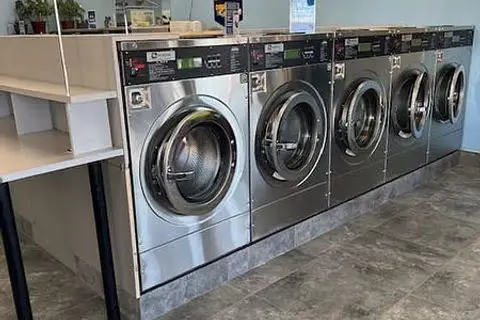
$649,990
2891 Jane Street
Glenfield-Jane Heights, Toronto
Sale Of Business · MLS® W13686618 · RE/MAX GOLD REALTY INC.
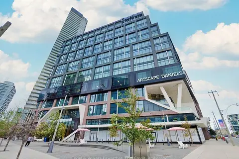
$649,800
130 Queens Quay E 516
Waterfront Communities C8, Toronto
Office · MLS® C14083540 · Engel & Volkers Kawarthas, Port Credit
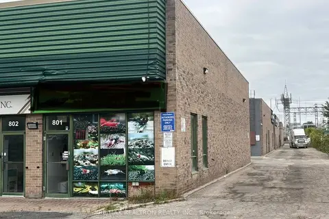
$649,800
210 Silver Star Boulevard 801
Milliken, Toronto
Investment · MLS® E13841834 · RE/MAX REALTRON REALTY INC.

$649,000
18 Wynford Drive 515
Banbury-Don Mills, Toronto
Commercial Retail · MLS® C13490082 · ROYAL LEPAGE REAL ESTATE SERVICES LTD.
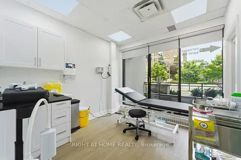
$649,000
2 ba
235 St Clair Avenue W 109
Casa Loma, Toronto
Office · MLS® C13834262 · RIGHT AT HOME REALTY

$649,000
551 Bloor Street W
University, Toronto
Sale Of Business · MLS® C13877892 · HOMELIFE/MIRACLE REALTY LTD
$649,000
996 Martin Grove Road 218
West Humber-Clairville, Toronto
Office · MLS® W13617424 · RE/MAX OPTIMUM REALTY

$649,000
5235 Steeles Avenue W 6
Humber Summit, Toronto
Sale Of Business · MLS® W13788314 · SUPERSTARS REALTY LTD.