4543 Kingston Road #3
West Hill, Toronto, M1E 2P1
$250,000
Listed 54 days ago · MLS® E13716596
About this home
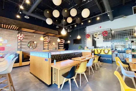
Well-established PitaLand franchise operating since 2010 - 15 years of community roots - in one of East Toronto's strongest retail corridors. Located within the Kingston Square retail node in West Hill, a growing family-oriented neighbourhood with continuous population growth, anchored by No Frills, McDonald's, Tim Hortons, and Rexall next door.1,150 sq ft with 25+ dine-in seats in a busy neighbourhood plaza part of the Morningside Crossing retail hub. Immediate neighbours include Shoppers Drug Mart, Food Basics, LCBO, Bulk Barn, Dollarama, Fit 4 Less, and several banks - generating strong, consistent cross-traffic throughout the day. Monthly rent of $6,382 including TMI (utilities additional). Lease secured until November 2029.The University of Toronto Scarborough Campus is located nearby off Morningside Avenue, supporting steady student and faculty demand alongside the dense West Hill residential community. TTC bus routes along Kingston Road and proximity to Guildwood GO Station provide excellent regional transit access. Uber Eats, DoorDash, and SkipTheDishes fully integrated.
Details
- Type
- Sale Of Business
- Garage
- None
- Neighbourhood
- West Hill
- Municipality
- Toronto E10
Heating, cooling and services
- Heating
- Gas Forced Air Closed
- Air conditioning
- Yes
- Water and sewer
- Sanitary+Storm Available
- Utilities
- Yes
Building and exterior
- Building area
- 1,150 Square Feet
More
- Possession
- 30-60 Days
- Cross street
- KINGSTON RD / MORNINGSIDE AVE
- Business type
- Restaurant
Location
Location is approximate. See nearby homes on the map
Recent sales nearby
See what similar homes within 1 km sold for in the last year. Create a free account or sign in to see them.
The neighbourhood
Getting around Walkable
- 🚆 Rouge Hill GO4.5 km
Within a 10-minute walk: 4 grocery stores, 12 cafés and restaurants, 2 parks, 3 pharmacies. Nearest grocery: Bulk Barn (100 m). Nearest park: St. Margaret's Parkette (750 m).
Schools nearby
Elementary
- West Hill Public School
EQAO: Gr 6 reading 88%, math 56%2 min walk - St. Martin De Porres Catholic School Catholic
EQAO: Gr 6 reading 67%, math 26%8 min walk - St. Margaret's Public School Catholic
EQAO: Gr 6 reading 93%, math 21%13 min walk - Joseph Brant Senior Public School
EQAO: Gr 6 reading 60%, math 28%14 min walk
Secondary
- West Hill Collegiate Institute10 min walk
- Maplewood High School1.5 km
EQAO: share of students meeting the provincial standard (2024–25). Ontario average: Gr 6 reading 86%, math 51%; Gr 9 math 55%; literacy test 83%.
Closest schools, not school zones. Check which school serves this address with the school board before relying on it.
Who lives here postal area M1E
- Owners / renters
- 63% / 37%
- Median household income
- $82,000
- Average age
- 42
- Children under 15
- 16%
- Homes
- 37% detached, 34% high-rise
- Commute by transit
- 26%
- Population
- 48,033
Languages spoken most at home besides English: Tamil 3.1%, Tagalog (Pilipino, Filipino) 3%, Bengali 2.3%, Urdu 1.1%.
Flood and conservation No mapped hazard
Not inside a mapped flood plain or regulated area.
Screening maps only. Ask the conservation authority for a property inquiry before relying on this.
Safety
Major crime per resident in West Hill (2025): 39% above the Toronto average, down 8% from the year before.
- Assault73% above average
- Break and enterabout average
- Auto theft34% below average
- Robbery25% above average
- Theft from vehicles84% above average
- Shootings94% above average
Crime Severity Index for Toronto police: 60 vs 57 for Ontario (2025).
Police-reported figures for the whole neighbourhood, not this street. Rates use the area’s resident population.
Development nearby 3 active
-
310 MORNINGSIDE AVE · 300 mSite Plan · Under Review · applied 2026Site Plan Approval for a 6-storey building with 40 residential units.Application details
-
4566-4568 KINGSTON RD · 200 mSite Plan · NOAC Issued · applied 2022Proposal for a 12-storey mixed use building (37.3 metres) with commercial on the ground floor and residential above, containing 131 residential units. The…Application details
-
21 OLD KINGSTON RD · 400 mSite Plan · NOAC Issued · applied 2019Proposing a row of 2-storey stacked and back-to-back townhouses with a total of 24 units. The car sales building will be demolished but the 2.5 storey…Application details
-
4569 KINGSTON RD · 150 mPlan of Condominium · Closed · applied 2025Darft Plan of Condominium applicaiton for an 11-storey residential apartment buidling with a total of 101 residential units and 1 retail unit.Application details
-
255 MORNINGSIDE AVE · 200 mOfficial Plan / Zoning By-law Amendment · Closed · applied 2022REVISED: Proposal for two residential buildings 18 and 28 storeys in height, with a 6-storey podium. A total of 518 dwellings are proposed. The proposed…Application details
-
4260 LAWRENCE AVE E · 450 mSite Plan · Closed · applied 2022Site plan appoval for the construction of a 194 square metre addition to the existing place of worshipApplication details
Rezoning, site plan, subdivision and condominium applications filed with the city.
Distances are approximate. Places © OpenStreetMap contributors. Neighbourhood figures: Statistics Canada, 2021 Census. School results: EQAO via Ontario Data Catalogue (Open Government Licence – Ontario). Neighbourhood crime: Toronto Police Service Public Safety Data Portal (Open Government Licence – Toronto Police Service). Crime Severity Index: Statistics Canada. Planning applications: City of Toronto open data.
Living here
Commute
To Union Station (downtown Toronto): 21 km. Transit times · Driving times
Noise Nothing major nearby
No highway within 500 m, rail line within 300 m, or airport flight path nearby.
Distances from the map, not noise measurements. Visit at rush hour to judge for yourself.
Building permits
- Interior Alterations · 2019 · ClosedConstruct interior alterations for Boardwalk Fries
- Interior Alterations · 2015 · ClosedProposed alterations to construct a demising wall to divide the unit into two units and to prepare one unit for future tenant fit out…
12 permits on this block of the street in the last 2 years.
Permits filed with the City of Toronto. A permit doesn’t mean the work passed final inspection.
Trees
1 City street trees within 100 m. That’s fewer than the Toronto average of 42.
Trees on City boulevards only, not private yards or parks.
Internet High-speed
50/10 Mbps or faster available here by cable, fibre or DSL (the federal high-speed target).
From the federal broadband map. Check exact speeds and providers for the address.
Zoning, heritage, building permits and street trees: City of Toronto open data (Open Government Licence – Toronto). Roads, rail, airports and planned stations © OpenStreetMap contributors. Internet: Innovation, Science and Economic Development Canada, National Broadband Data.
Listed by EXP REALTY.
Listing information provided by PropTx Innovations Inc. and TRREB; deemed reliable but not guaranteed accurate by PropTx.
Similar homes nearby
See more in Toronto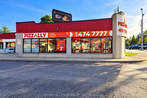 New
$249,900
2 ba
4383 Kingston Road
West Hill, Toronto
Sale Of Business · MLS® E14095452 · RE/MAX ALL-STARS REALTY INC.

$299,000
2 ba
155 Morningside Avenue 3
West Hill, Toronto
Sale Of Business · MLS® E12773746 · HOMELIFE/MIRACLE REALTY LTD
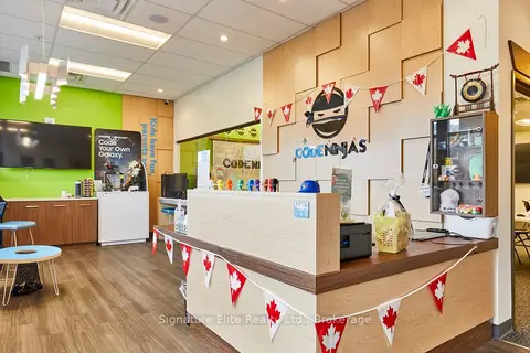
$250,000
1386 Bayview Avenue 4
Mount Pleasant East, Toronto
Sale Of Business · MLS® C13502022 · Signature Elite Realty Ltd.
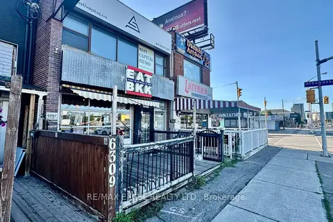
$250,000
3 ba
6307 Yonge Street
Newtonbrook East, Toronto
Sale Of Business · MLS® C13622384 · RE/MAX EXCEL REALTY LTD.
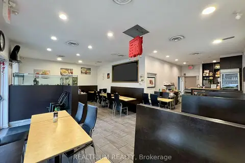
$250,000
Reduced $100,000
2 ba
58 Redlea Avenue
Milliken, Toronto
Sale Of Business · MLS® E13093986 · REALTRIUM REALTY
$250,000
3250 Midland Avenue G110 & G111
Milliken, Toronto
Sale Of Business · MLS® E13517842 · RE/MAX REALTRON REALTY INC.
$250,000
85 Ellesmere Road 105
Dorset Park, Toronto
Sale Of Business · MLS® E13873896 · TORONTO HOMES AND BUILDINGS REALTY INC.
$250,000
5122 Dundas Street W
Islington-City Centre West, Toronto
Sale Of Business · MLS® W13228822 · RIGHT AT HOME REALTY