4438 Sheppard Avenue E 330
Agincourt South-Malvern West, Toronto, M1S 1V2
$2,149/mo
Reduced $1 from $2,150
Listed 281 days ago · MLS® E12685310
About this home
Convenient Location. Largest Unit In Famous Business Centre(Oriental Centre)! Heart Of Scarborough, NE Corner Of Brim/Shep. Very Busy Indoor Mall, Lots Of Stores, Offices With High Traffic. TTC Stop Right At Door. Close To School, Banks, Restaurants And Supper-Market. Plenty Of Parking Lots On Surface & Underground. Favorite Choice Of Accounting, Travel, Legal, Educational And Health Care Services. Upcoming Sub-Way. New Pricing for Early Birds!
Details
- Type
- Commercial Retail
- Age
- 16-30 years
- Garage
- Underground
- Property tax
- $5,550 (2026)
- Neighbourhood
- Agincourt South-Malvern West
- Municipality
- Toronto E07
Heating, cooling and services
- Heating
- Gas Forced Air Open
- Air conditioning
- Yes
- Utilities
- Yes
Building and exterior
- Age
- 16-30 years
- Building area
- 1,200 Square Feet
Rental terms
- Minimum term
- 12 months
More
- Possession
- TBA
- Cross street
- Sheppard/Brimley
- Business type
- Retail Store Related
Location
Location is approximate. See nearby homes on the map
The neighbourhood
Getting around Very walkable
- 🚆 Agincourt GO1.3 km
Within a 10-minute walk: 3 grocery stores, 26 cafés and restaurants, 3 parks, 1 pharmacy. Nearest grocery: Best Ever Supermarket (100 m). Nearest park: Agincourt Park (550 m).
Schools nearby
Elementary
- St. Bartholomew Catholic School Catholic5 min walk
- C.D. Farquharson Junior Public School
EQAO: Gr 6 reading 92%, math 68%6 min walk - Agincourt Junior Public School
EQAO: Gr 6 reading 94%, math 88%16 min walk - North Agincourt Junior Public School
EQAO: Gr 6 reading 94%, math 72%18 min walk
Secondary
- Sir Alexander Mackenzie Senior Public School6 min walk
- Agincourt Collegiate Institute13 min walk
- Henry Kelsey Senior Public School1.4 km
EQAO: share of students meeting the provincial standard (2024–25). Ontario average: Gr 6 reading 86%, math 51%; Gr 9 math 55%; literacy test 83%.
Closest schools, not school zones. Check which school serves this address with the school board before relying on it.
Who lives here postal area M1S
- Owners / renters
- 75% / 25%
- Median household income
- $81,000
- Average age
- 45
- Children under 15
- 12%
- Homes
- 35% detached, 36% high-rise
- Commute by transit
- 21%
- Population
- 37,663
Languages spoken most at home besides English: Yue (Cantonese) 20.2%, Mandarin 13.7%, Tamil 4.2%, Gujarati 1.3%.
Flood and conservation No mapped hazard
Not inside a mapped flood plain or regulated area.
Screening maps only. Ask the conservation authority for a property inquiry before relying on this.
Safety
Major crime per resident in Agincourt South-Malvern West (2025): about the Toronto average, down 15% from the year before.
- Assault39% below average
- Break and enter37% above average
- Auto theft22% above average
- Robbery21% above average
- Theft from vehiclesabout average
- Shootings159% above average
Crime Severity Index for Toronto police: 60 vs 57 for Ontario (2025).
Police-reported figures for the whole neighbourhood, not this street. Rates use the area’s resident population.
Development nearby 4 active
-
4437 SHEPPARD AVE E · 50 mOfficial Plan / Zoning By-law Amendment · Under Review · applied 2025Proposal for mixed-use residential towers 39 storeys and 12 storeys mid-rise, situated atop a 6 storey podium includes retail space and office/commercial uses.…Application details
-
4421 SHEPPARD AVE E · 100 mSite Plan · NOAC Issued · applied 2021Redevelopment comprising of an 11 storey mixed-use building with commercial uses on the ground floor and residential uses above.Application details
-
59 HEATHER RD · 300 mSite Plan · Under Review · applied 2021demolish a portion of their existing main level washroom and chapel support areas to construct a new parish hall addition to the north of the existing site.Application details
-
4421 SHEPPARD AVE E · 100 mOfficial Plan / Zoning By-law Amendment · Council Approved · applied 2020Redevelopment comprising of an 11 storey mixed-use building with commercial uses on the ground floor and residential uses above.Application details
Rezoning, site plan, subdivision and condominium applications filed with the city.
Distances are approximate. Places © OpenStreetMap contributors. Neighbourhood figures: Statistics Canada, 2021 Census. School results: EQAO via Ontario Data Catalogue (Open Government Licence – Ontario). Neighbourhood crime: Toronto Police Service Public Safety Data Portal (Open Government Licence – Toronto Police Service). Crime Severity Index: Statistics Canada. Planning applications: City of Toronto open data.
Living here
Commute
To Union Station (downtown Toronto): 18 km. Transit times · Driving times
Noise 1 source nearby
- 🚆 Rail line (Belleville Subdivision)150 m
Distances from the map, not noise measurements. Visit at rush hour to judge for yourself.
Building permits
- Interior Alterations · 2026 · Revision IssuedRevision 01: Addition of another storage closet on the P2 Level. Location of the closet has been clouded on drawings. Proposal to construct…
- Interior Alterations · 2025 · CancelledProposal for interior alterations to two new storage closet
- Interior Alterations · 2025 · ClosedInterior alterations to existing bank branch. - Unit 102 - RBC Bank
- Interior Alterations · 2025 · ClosedProposal for interior alterations - add new door to the existing office.
- Interior Alterations · 2021 · ClosedProposal for interior alterations to existing office space for new clinic - Oriental Mall, UNIT 367, "Pinnacle Vitality Clinic"
5 permits on this block of the street in the last 2 years.
Permits filed with the City of Toronto. A permit doesn’t mean the work passed final inspection.
Trees
2 City street trees within 100 m. That’s fewer than the Toronto average of 42.
Trees on City boulevards only, not private yards or parks.
Internet High-speed
50/10 Mbps or faster available here by cable, fibre or DSL (the federal high-speed target).
From the federal broadband map. Check exact speeds and providers for the address.
Zoning, heritage, building permits and street trees: City of Toronto open data (Open Government Licence – Toronto). Roads, rail, airports and planned stations © OpenStreetMap contributors. Internet: Innovation, Science and Economic Development Canada, National Broadband Data.
Listed by CYPRO REALTY INC..
Listing information provided by PropTx Innovations Inc. and TRREB; deemed reliable but not guaranteed accurate by PropTx.
Similar homes nearby
See more in Toronto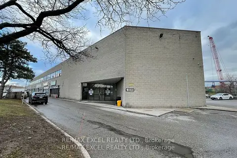
$2,225/mo
55 Nugget Avenue 214
Agincourt South-Malvern West, Toronto
Office · MLS® E13503902 · RE/MAX EXCEL REALTY LTD.
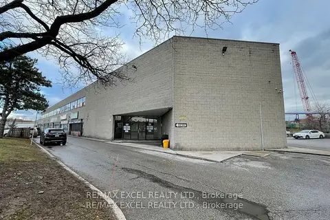
$2,235/mo
55 Nugget Avenue 212
Agincourt South-Malvern West, Toronto
Office · MLS® E13499592 · RE/MAX EXCEL REALTY LTD.
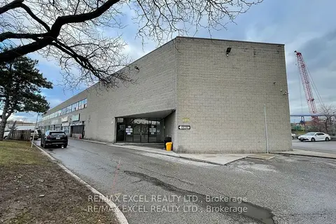
$2,265/mo
55 Nugget Avenue 208
Agincourt South-Malvern West, Toronto
Office · MLS® E12947816 · RE/MAX EXCEL REALTY LTD.
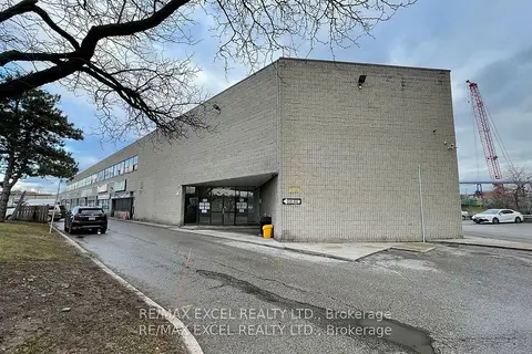
$2,265/mo
55 Nugget Avenue 207
Agincourt South-Malvern West, Toronto
Office · MLS® E12947840 · RE/MAX EXCEL REALTY LTD.
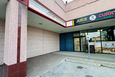
$2,000/mo
8 Glen Watford Drive G11
Agincourt South-Malvern West, Toronto
Commercial Retail · MLS® E13673778 · RE/MAX IMPACT REALTY
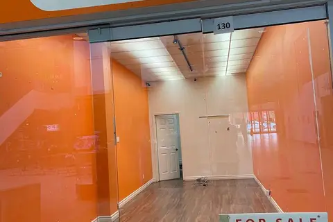
$1,900/mo
4438 Sheppard Avenue E 130
Agincourt South-Malvern West, Toronto
Commercial Retail · MLS® E13529260 · CENTURY 21 KENNECT REALTY
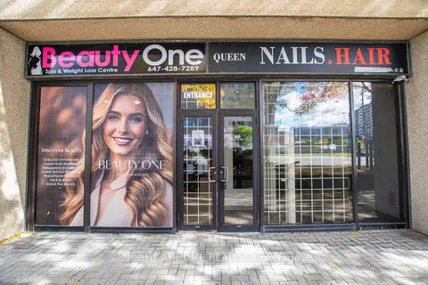
$2,500/mo
2 ba
2347 Kennedy Road 105
Agincourt South-Malvern West, Toronto
Commercial Retail · MLS® E13860268 · RIGHT AT HOME REALTY
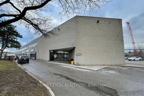
$1,725/mo
55 Nugget Avenue 211
Agincourt South-Malvern West, Toronto
Office · MLS® E12456898 · RE/MAX EXCEL REALTY LTD.