44 Rolark Drive 1A
Wexford-Maryvale, Toronto, M1R 4G2
$15/mo
Listed 130 days ago · MLS® E13439282
About this home
This warehouse is located close to high-traffic intersection of Birchmount and Ellesmere, offers easy access to HWY 401, 404, and public transit (Ellesmere TTC Station). The property offers 24/7 access, HVAC and security. Surrounded by local amenities, this location is ideal for businesses seeking convenience and flexibility.
Details
- Type
- Industrial
- Garage
- Outside/Surface
- Property tax
- $5 (2026)
- Neighbourhood
- Wexford-Maryvale
- Municipality
- Toronto E04
Heating, cooling and services
- Heating
- Gas Forced Air Open
- Air conditioning
- Partial
- Utilities
- Yes
Building and exterior
- Building area
- 8,945 Square Feet
Rental terms
- Minimum term
- 60 months
More
- Possession
- Immediately
- Cross street
- Birchmount Rd & Ellesmere Rd
- Business type
- Warehouse
Location
Location is approximate. See nearby homes on the map
The neighbourhood
Getting around Somewhat walkable
- 🚆 Agincourt GO2.5 km
Within a 10-minute walk: no grocery stores, 8 cafés and restaurants, 1 park, 1 pharmacy. Nearest park: Mondeo Park (600 m).
Schools nearby
Elementary
- Ellesmere-Statton Public School
EQAO: Gr 6 reading 84%, math 62%12 min walk - Glamorgan Junior Public School
EQAO: Gr 6 reading 88%, math 43%13 min walk - Terraview-Willowfield Public School
EQAO: Gr 6 reading 95%, math 70%16 min walk - Our Lady of Wisdom Catholic School Catholic
EQAO: Gr 6 reading 97%, math 52%16 min walk
Secondary
- Parkview Alternative School1.4 km
EQAO: share of students meeting the provincial standard (2024–25). Ontario average: Gr 6 reading 86%, math 51%; Gr 9 math 55%; literacy test 83%.
Closest schools, not school zones. Check which school serves this address with the school board before relying on it.
Who lives here postal area M1R
- Owners / renters
- 56% / 44%
- Median household income
- $81,000
- Average age
- 42
- Children under 15
- 15%
- Homes
- 48% detached, 26% high-rise
- Commute by transit
- 24%
- Population
- 30,467
Languages spoken most at home besides English: Tagalog (Pilipino, Filipino) 4%, Arabic 3.8%, Tamil 2.6%, Greek 2%.
Flood and conservation No mapped hazard
Not inside a mapped flood plain or regulated area.
Screening maps only. Ask the conservation authority for a property inquiry before relying on this.
Safety
Major crime per resident in Wexford/Maryvale (2025): 53% above the Toronto average, down 9% from the year before.
- Assault47% above average
- Break and enter34% above average
- Auto theft89% above average
- Robbery60% above average
- Theft from vehicles109% above average
- Shootings295% above average
Crime Severity Index for Toronto police: 60 vs 57 for Ontario (2025).
Police-reported figures for the whole neighbourhood, not this street. Rates use the area’s resident population.
Development nearby 1 active
-
1870 BIRCHMOUNT RD · 400 mSite Plan · Under Review · applied 2025Proposal of adding another warehouse of 2922.4 sqm attached to the existing warehouse building.Application details
-
1845 BIRCHMOUNT RD · 500 mSite Plan · Closed · applied 2022Site Plan application for proposed 25,828.8 square metre industrial/warehousing facility.Application details
Rezoning, site plan, subdivision and condominium applications filed with the city.
Distances are approximate. Places © OpenStreetMap contributors. Neighbourhood figures: Statistics Canada, 2021 Census. School results: EQAO via Ontario Data Catalogue (Open Government Licence – Ontario). Neighbourhood crime: Toronto Police Service Public Safety Data Portal (Open Government Licence – Toronto Police Service). Crime Severity Index: Statistics Canada. Planning applications: City of Toronto open data.
Living here
Commute
To Union Station (downtown Toronto): 15 km. Transit times · Driving times
Noise 1 source nearby
- 🚆 Rail line (Belleville Subdivision)100 m
Distances from the map, not noise measurements. Visit at rush hour to judge for yourself.
What can be built EH
Employment Heavy Industrial (with a site-specific exception).
From Toronto’s Zoning By-law 569-2013 map. Lot size, setbacks and trees decide what actually fits; check with a planner before you buy.
Building permits
- Other · 2025 · Permit IssuedDemolish a portion of the existing exterior wall and proposing four loading docks. Proposing a demising wall between units 2 and 3 and exit…
1 permit on this block of the street in the last 2 years.
Permits filed with the City of Toronto. A permit doesn’t mean the work passed final inspection.
Trees
0 City street trees within 100 m. That’s fewer than the Toronto average of 42.
Trees on City boulevards only, not private yards or parks.
Internet High-speed
50/10 Mbps or faster available here by cable, fibre or DSL (the federal high-speed target).
From the federal broadband map. Check exact speeds and providers for the address.
Zoning, heritage, building permits and street trees: City of Toronto open data (Open Government Licence – Toronto). Roads, rail, airports and planned stations © OpenStreetMap contributors. Internet: Innovation, Science and Economic Development Canada, National Broadband Data.
Listed by BLUETICK REALTY INC..
Listing information provided by PropTx Innovations Inc. and TRREB; deemed reliable but not guaranteed accurate by PropTx.
Similar homes nearby
See more in Toronto
$15/mo
191 Ashtonbee Road
Wexford-Maryvale, Toronto
Industrial · MLS® E12428068 · COLLIERS
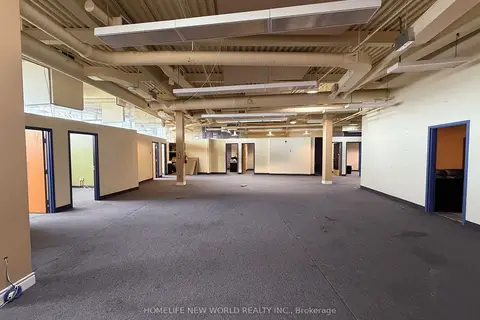
$15/mo
41 Metropolitan Road 201
Wexford-Maryvale, Toronto
Office · MLS® E12567300 · HOMELIFE NEW WORLD REALTY INC.
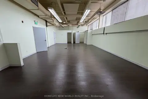
$15/mo
41 Metropolitan Road 203
Wexford-Maryvale, Toronto
Office · MLS® E12567316 · HOMELIFE NEW WORLD REALTY INC.
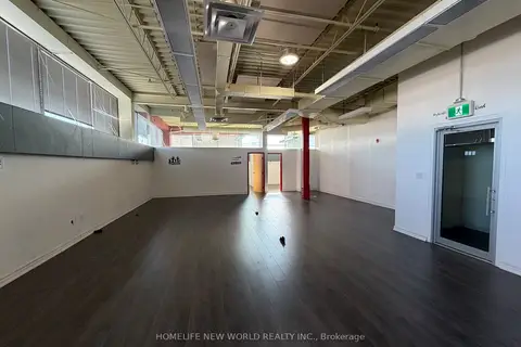
$15/mo
41 Metropolitan Road 204
Wexford-Maryvale, Toronto
Office · MLS® E12567318 · HOMELIFE NEW WORLD REALTY INC.
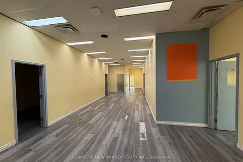
$15/mo
41 Metropolitan Road 104
Wexford-Maryvale, Toronto
Office · MLS® E12567320 · HOMELIFE NEW WORLD REALTY INC.
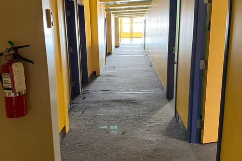
$15/mo
41 Metropolitan Road 205-207
Wexford-Maryvale, Toronto
Office · MLS® E12567344 · HOMELIFE NEW WORLD REALTY INC.
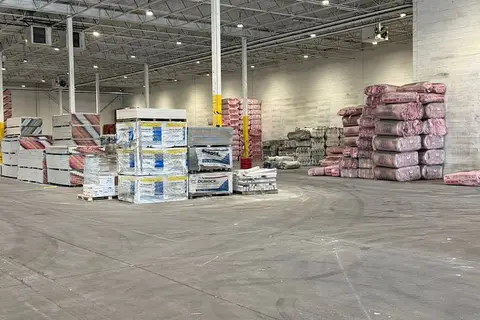
$15/mo
3 ba
1170 Birchmount Road 2
Wexford-Maryvale, Toronto
Industrial · MLS® E13452792 · BLUETICK REALTY INC.
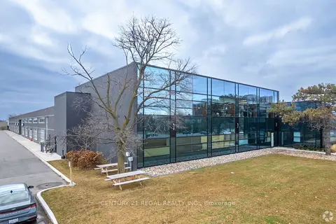
$15/mo
1 ba
1550 Birchmount Road 200
Wexford-Maryvale, Toronto
Office · MLS® E13512532 · CENTURY 21 REGAL REALTY INC.