43 Selby Road
Brampton East Industrial, Brampton, L6W 1K5
$8,800/mo
- 2 bathrooms
Listed 76 days ago · MLS® W13637084
About this home
Prime freestanding industrial sublease opportunity in a highly sought-after Brampton location near Highway 410 and Queen Street. Offering approximately 3,870 sq. ft. This well-maintained unit features a newly built front office, professionally finished epoxy flooring throughout, and a clear height of 14'6".The space includes two truck-level shipping doors, 600V/200A power, air conditioning throughout the building, and a compressor available for tenant use (not included). Additional features include two washrooms and six on-site parking spaces. Located within M2 zoning, the property supports a wide range of industrial uses including warehousing, distribution, manufacturing, packaging, assembly and printing subject to municipal approval. Excellent access to major highways and public transit enhances operational efficiency. Immediate availability with a 36-month sublease term.
Details
- Type
- Industrial
- Garage
- Outside/Surface
- Neighbourhood
- Brampton East Industrial
- Municipality
- Brampton
Interior
- Bathrooms
- 2 × bathroom
Heating, cooling and services
- Heating
- Gas Forced Air Open
- Water and sewer
- Sanitary+Storm
- Utilities
- Available
Building and exterior
- Building area
- 3,870 Square Feet
Rental terms
- Minimum term
- 24 months
More
- Possession
- Immediate
- Cross street
- Rutherford Rd S & Selby Rd
- Business type
- Factory/Manufacturing
Location
Location is approximate. See nearby homes on the map
The neighbourhood
Getting around Car-dependent
- 🚆 Bramalea GO3.0 km
Within a 10-minute walk: no grocery stores, 0 cafés and restaurants, 0 parks.
Schools nearby
Elementary
- Songbirds Montessori School Private17 min walk
- Sir Wilfrid Laurier Public School
EQAO: Gr 3 reading 61%, math 44%1.5 km - Helen Wilson Public School
EQAO: Gr 3 reading 70%, math 57%1.6 km - Sir Winston Churchill Public School
EQAO: Gr 6 reading 54%, math 0%1.9 km
Secondary
- Peel Alternative School North1.5 km
- Turner Fenton Secondary School
EQAO: Gr 9 math 64%, literacy test 91%1.9 km - Balmoral Drive Senior Public School2.2 km
EQAO: share of students meeting the provincial standard (2024–25). Ontario average: Gr 6 reading 86%, math 51%; Gr 9 math 55%; literacy test 83%.
Closest schools, not school zones. Check which school serves this address with the school board before relying on it.
Who lives here postal area L6W
- Owners / renters
- 61% / 39%
- Median household income
- $87,000
- Average age
- 41
- Children under 15
- 15%
- Homes
- 45% detached, 29% high-rise
- Commute by transit
- 12%
- Population
- 23,547
Languages spoken most at home besides English: Punjabi (Panjabi) 7.4%, Portuguese 1.6%, Urdu 1.4%, Hindi 1.1%.
Flood and conservation No mapped hazard
Not inside a mapped flood plain or regulated area.
Screening maps only. Ask the conservation authority for a property inquiry before relying on this.
Safety
Crime Severity Index for Peel Region (Mississauga/Brampton) police: 59 vs 57 for Ontario (2025).
Police-reported figures for the whole police service area, not this street. Rates use the area’s resident population.
Development nearby 5 active
-
311 CLARENCE ST · 350 mSite Plan Approval · Site Plan Agreement Prep · applied 2026Limited Site Plan
-
150 GLIDDEN RD · 300 mSite Plan Approval · In Review · applied 2026Basic Site Plan
-
307 CLARENCE ST · 450 mSite Plan Approval · In Review · applied 2025Limited Site Plan
-
311 CLARENCE ST · 350 mSite Plan Approval · In Review · applied 2024Limited Site Plan
-
173 Glidden Road & 80 Hale Road · 500 mSite Plan Approval · Application Complete · applied 2018Proposal to convert an existing multi-tenant industrial building from rental to condominium tenure. No new construction
-
1-246 RUTHERFORD RD S · 300 mSite Plan Approval · Site Plan Approved · applied 2025Basic Site Plan
5 more within 500 m.
Rezoning, site plan, subdivision and condominium applications filed with the city.
Distances are approximate. Places © OpenStreetMap contributors. Neighbourhood figures: Statistics Canada, 2021 Census. School results: EQAO via Ontario Data Catalogue (Open Government Licence – Ontario). Crime Severity Index: Statistics Canada. Planning applications: City of Brampton open data.
Living here
Commute
To Union Station (downtown Toronto): 28 km. Transit times · Driving times
Noise 1 source nearby
- 🛣️ Highway 410400 m
Distances from the map, not noise measurements. Visit at rush hour to judge for yourself.
Internet High-speed
50/10 Mbps or faster available here by cable, fibre or DSL (the federal high-speed target).
From the federal broadband map. Check exact speeds and providers for the address.
Roads, rail, airports and planned stations © OpenStreetMap contributors. Internet: Innovation, Science and Economic Development Canada, National Broadband Data.
Listed by ROYAL LEPAGE PRG REAL ESTATE.
Listing information provided by PropTx Innovations Inc. and TRREB; deemed reliable but not guaranteed accurate by PropTx.
Similar homes nearby
See more in Brampton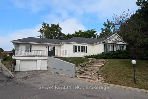
$8,500/mo
2 ba
229 Main Street S
Brampton South, Brampton
Commercial Retail · MLS® W13546952 · SPEAR REALTY INC.
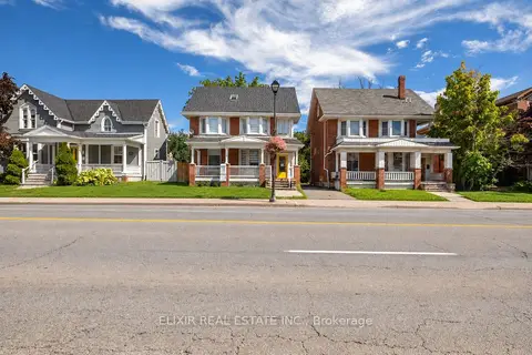
$10,000/mo
4 bd2 ba
202 Main Street N
Downtown Brampton, Brampton
Office · MLS® W13814668 · ELIXIR REAL ESTATE INC.
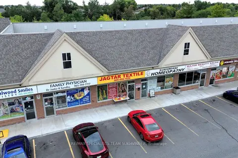
$7,500/mo
2945 Sandalwood Parkway 12
Sandringham-Wellington, Brampton
Commercial Retail · MLS® W13792380 · RE/MAX SPECIALISTS TEAM SUKHVINDER