426 Third Street Upper
East H, London East, N5W 4W6
$13/mo
Listed 47 days ago · MLS® X13742302
About this home
1,866 Sq Ft of recently renovated 2nd floor office space available. Unit contains 3 individual offices, 2 large conference rooms, a common area with kitchenette, and 2 washrooms. Large windows provide an abundance of natural light throughout the space. Property includes ~32 parking spaces located at the rear and 2 outdoor green spaces. Zoning permits medical, office, and service-based uses. The unit is being offered at $13/Sq Ft + $5/Sq Ft (TMI) and utilities (hydro and water). 1st floor unit (1,866 sq ft) also available with opportunity to lease both floors.
Details
- Type
- Office
- Lot
- 71.94 × 313 ft
- Garage
- None
- Property tax
- $5 (2025)
- Neighbourhood
- East H
- Municipality
- London East
Heating, cooling and services
- Heating
- Gas Forced Air Open
- Air conditioning
- Yes
- Utilities
- Yes
Building and exterior
- Building area
- 1,866 Square Feet
Rental terms
- Minimum term
- 36 months
More
- Possession
- Flexible
- Cross street
- Dundas St and Third St
Location
Location is approximate. See nearby homes on the map
The neighbourhood
Getting around Walkable
No subway, LRT or GO station within a short trip.
Within a 10-minute walk: 2 grocery stores, 9 cafés and restaurants, 5 parks, 4 pharmacies. Nearest grocery: True Value Foods (50 m). Nearest park: Mildred Barons Park (200 m).
Schools nearby
Elementary
- Forest City Public School
EQAO: Gr 6 reading 59%, math 19%15 min walk - St. Pius X Catholic School Catholic
EQAO: Gr 6 reading 71%, math 25%16 min walk - Prince Charles Public School
EQAO: Gr 6 reading 39%, math 9%17 min walk - Princess Anne French Immersion Public School
EQAO: Gr 6 reading 98%, math 54%1.3 km
Secondary
- Clarke Road Secondary School
EQAO: Gr 9 math 45%, literacy test 61%18 min walk - John Paul II Catholic Secondary School Catholic
EQAO: Gr 9 math 44%, literacy test 71%2.0 km
EQAO: share of students meeting the provincial standard (2024–25). Ontario average: Gr 6 reading 86%, math 51%; Gr 9 math 55%; literacy test 83%.
Closest schools, not school zones. Check which school serves this address with the school board before relying on it.
Who lives here postal area N5W
- Owners / renters
- 59% / 41%
- Median household income
- $64,500
- Average age
- 42
- Children under 15
- 13%
- Homes
- 56% detached, 9% high-rise
- Commute by transit
- 8%
- Population
- 24,740
Languages spoken most at home besides English: Spanish 1.3%, Portuguese 1%, Punjabi (Panjabi) 0.5%, Polish 0.5%.
Safety
Crime Severity Index for London police: 73 vs 57 for Ontario (2025).
Police-reported figures for the whole police service area, not this street. Rates use the area’s resident population.
Distances are approximate. Places © OpenStreetMap contributors. Neighbourhood figures: Statistics Canada, 2021 Census. School results: EQAO via Ontario Data Catalogue (Open Government Licence – Ontario). Crime Severity Index: Statistics Canada.
Living here
Commute
To downtown London: 5 km. Transit times · Driving times
Noise 1 source nearby
- 🚆 Rail line (Galt Subdivision)150 m
Distances from the map, not noise measurements. Visit at rush hour to judge for yourself.
Internet High-speed
50/10 Mbps or faster available here by cable, fibre or DSL (the federal high-speed target).
From the federal broadband map. Check exact speeds and providers for the address.
Roads, rail, airports and planned stations © OpenStreetMap contributors. Internet: Innovation, Science and Economic Development Canada, National Broadband Data.
Listed by THRIVE REALTY GROUP INC..
Listing information provided by PropTx Innovations Inc. and TRREB; deemed reliable but not guaranteed accurate by PropTx.
Similar homes nearby
See more in London East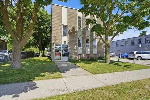
$13/mo
426 Third Street Main
East H, London East
Commercial Retail · MLS® X13742304 · THRIVE REALTY GROUP INC.
$12/mo
2 ba
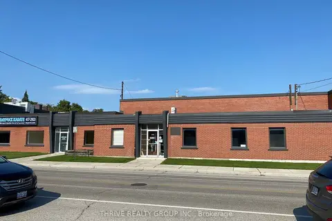
360-370 Saskatoon Street
East H, London East
Industrial · MLS® X12937282 · THRIVE REALTY GROUP INC.
$12/mo
1 ba
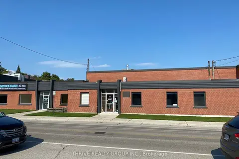
360-370 Saskatoon Street Unit 1
East H, London East
Industrial · MLS® X12939728 · THRIVE REALTY GROUP INC.

$13/mo
15760 Robin's Hill Road
East E, London East
Industrial · MLS® X4883278 · D. W. GOULD REALTY ADVISORS INC.
$13/mo
Reduced $2
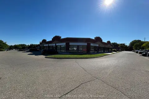
41 Adelaide Street N 53-61
East K, London East
Office · MLS® X12799100 · ROYAL LEPAGE TRILAND REALTY
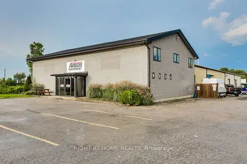
$13/mo
2 ba
1464 N Crumlin Side Road
East E, London East
Industrial · MLS® X13728524 · RIGHT AT HOME REALTY
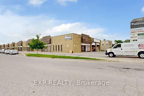
$13/mo
540 Clarke Road 16
East I, London East
Office · MLS® X13817598 · EXP REALTY

$12/mo
15760 Robin's Hill Road
East E, London East
Industrial · MLS® X4883297 · D. W. GOULD REALTY ADVISORS INC.