4211 Yonge Street 403
St. Andrew-Windfields, Toronto, M2P 2A9
$20/mo
Listed 179 days ago · MLS® C13043130
About this home
Office space conveniently located in an outstanding location within Toronto's North Yonge Corridor. Surrounded by local amenities along Yonge Street. Close proximity to Highway 401, and the TTC is located right at the doorstep.
Details
- Type
- Office
- Garage
- Underground
- Property tax
- $22 (2026)
- Neighbourhood
- St. Andrew-Windfields
- Municipality
- Toronto C12
Heating, cooling and services
- Heating
- Gas Forced Air Open
- Air conditioning
- Yes
- Water and sewer
- Sanitary+Storm
- Utilities
- Yes
Building and exterior
- Building area
- 3,786 Square Feet
Rental terms
- Minimum term
- 36 months
More
- Possession
- 90+ days
- Cross street
- Yonge & York Mills
- Business type
- Professional Office
Location
Location is approximate. See nearby homes on the map
The neighbourhood
Getting around Somewhat walkable
- 🚇 York Mills Subway7 min walk
- 🚇 Sheppard-Yonge Subway1.5 km
- 🚆 Oriole GO4.0 km
Within a 10-minute walk: no grocery stores, 5 cafés and restaurants, 2 parks. Nearest park: Stewart A. McGregor Parkette (900 m).
Schools nearby
Elementary
- St. Edward Catholic School Catholic
EQAO: Gr 6 reading 95%, math 63%12 min walk - Owen Public School
EQAO: Gr 3 reading 56%, math 72%19 min walk - Armour Heights Public School
EQAO: Gr 6 reading 88%, math 59%1.2 km - Avondale Alternative Elementary School
EQAO: Gr 6 reading 88%, math 88%1.4 km
Secondary
- Loretto Abbey Catholic Secondary School Catholic
EQAO: Gr 9 math 64%, literacy test 89%12 min walk - St. Andrew's Junior High School Catholic1.5 km
- Cardinal Carter Academy for the Arts Catholic · Private
EQAO: Gr 9 math 87%, literacy test 97%1.8 km
EQAO: share of students meeting the provincial standard (2024–25). Ontario average: Gr 6 reading 86%, math 51%; Gr 9 math 55%; literacy test 83%.
Closest schools, not school zones. Check which school serves this address with the school board before relying on it.
Who lives here postal area M2P
- Owners / renters
- 69% / 31%
- Median household income
- $120,000
- Average age
- 44
- Children under 15
- 14%
- Homes
- 56% detached, 19% high-rise
- Commute by transit
- 14%
- Population
- 7,546
Languages spoken most at home besides English: Mandarin 8.9%, Iranian Persian 4.5%, Yue (Cantonese) 3.6%, Korean 1.8%.
Flood and conservation Regulated area
This address is inside a conservation-authority regulated area (Toronto and Region Conservation Authority): near a valley, stream, shoreline or wetland, where flooding or erosion can occur. New building, additions, pools or grading usually need a permit from the authority.
Screening maps only. Ask the conservation authority for a property inquiry before relying on this.
Safety
Major crime per resident in St.Andrew-Windfields (2025): about the Toronto average, down 21% from the year before.
- Assaultabout average
- Break and enter103% above average
- Auto theftabout average
- Robbery36% above average
- Theft from vehiclesabout average
- Shootings34% below average
Crime Severity Index for Toronto police: 60 vs 57 for Ontario (2025).
Police-reported figures for the whole neighbourhood, not this street. Rates use the area’s resident population.
Development nearby 3 active
-
10-36 YORK MILLS RD · 450 mOfficial Plan / Zoning By-law Amendment · Under Review · applied 2026Proposal of two residential mixed-use towers of 55 and 40 storeys (176.2 and 132.5 metres, exclusive of the mechanical penthouses), with approximately 903…Application details
-
4050 YONGE ST · 400 mSite Plan · Under Review · applied 2026Site Plan Amendment related to file 20 115847 NNY 08 SA proposes to consolidate many of the previously proposed bachelor and one-bedroom units to create more…Application details
-
4101 YONGE ST · 300 mSite Plan · Under Review · applied 2021Site Plan applicationApplication details
Rezoning, site plan, subdivision and condominium applications filed with the city.
Distances are approximate. Places © OpenStreetMap contributors. Neighbourhood figures: Statistics Canada, 2021 Census. School results: EQAO via Ontario Data Catalogue (Open Government Licence – Ontario). Flood and regulation mapping: Toronto and Region Conservation Authority open data. Neighbourhood crime: Toronto Police Service Public Safety Data Portal (Open Government Licence – Toronto Police Service). Crime Severity Index: Statistics Canada. Planning applications: City of Toronto open data.
Living here
Commute
To Union Station (downtown Toronto): 12 km. Transit times · Driving times
Noise 1 source nearby
- 🛣️ Highway 401450 m
Distances from the map, not noise measurements. Visit at rush hour to judge for yourself.
What can be built CR
Commercial Residential (with a site-specific exception).
From Toronto’s Zoning By-law 569-2013 map. Lot size, setbacks and trees decide what actually fits; check with a planner before you buy.
Building permits
- Interior Alterations · 2026 · Permit IssuedProposed remove five offices to create open space. Create an opening between suite 618 and 619.
- Interior Alterations · 2026 · InspectionBuild a demising wall to divide the suite. Install a new entry door with a wall dividing the reception area. Remove the existing millwork…
- Interior Alterations · 2025 · ClosedProposed interior alterations by adding 4 new offices, lunchroom enlargement, finish upgrades
- Interior Alterations · 2024 · ClosedInterior alterations for new partition - Unit 520, 521
- Interior Alterations · 2024 · ClosedProposed interior alterations to an existing office space to create two need offices. *UNIT 301A*
2 permits on this block of the street in the last 2 years.
Permits filed with the City of Toronto. A permit doesn’t mean the work passed final inspection.
Trees
11 City street trees within 100 m, mostly pines. That’s fewer than the Toronto average of 42.
Trees on City boulevards only, not private yards or parks.
Internet High-speed
50/10 Mbps or faster available here by cable, fibre or DSL (the federal high-speed target).
From the federal broadband map. Check exact speeds and providers for the address.
Zoning, heritage, building permits and street trees: City of Toronto open data (Open Government Licence – Toronto). Roads, rail, airports and planned stations © OpenStreetMap contributors. Internet: Innovation, Science and Economic Development Canada, National Broadband Data.
Listed by COLLIERS.
Listing information provided by PropTx Innovations Inc. and TRREB; deemed reliable but not guaranteed accurate by PropTx.
Similar homes nearby
See more in Toronto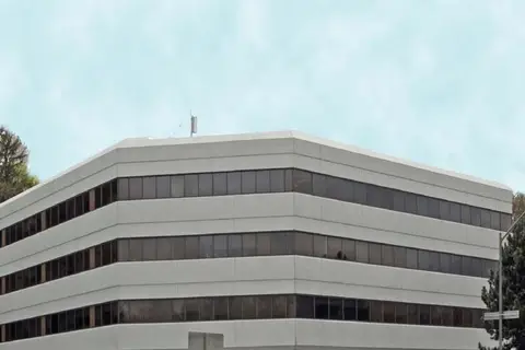
$20/mo
4141 Yonge Street 300
St. Andrew-Windfields, Toronto
Office · MLS® C12043328 · AVISON YOUNG COMMERCIAL REAL ESTATE SERVICES, LP
$20/mo
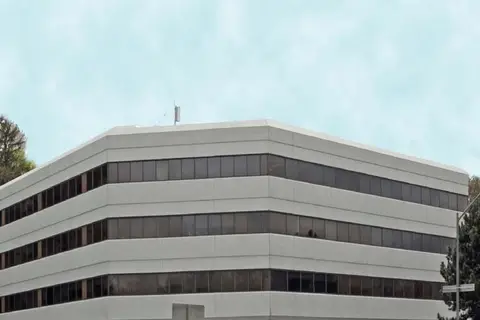
4141 Yonge Street 202
St. Andrew-Windfields, Toronto
Office · MLS® C12581952 · AVISON YOUNG COMMERCIAL REAL ESTATE SERVICES, LP
$19/mo
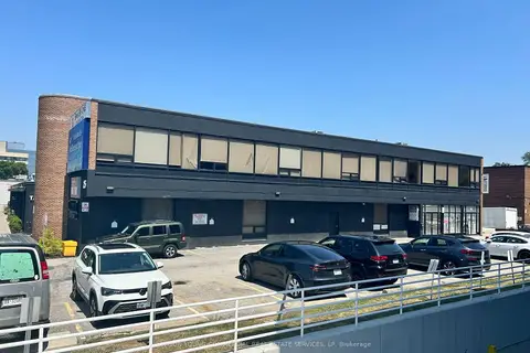
25 Lesmill Road B
St. Andrew-Windfields, Toronto
Office · MLS® C13161976 · AVISON YOUNG COMMERCIAL REAL ESTATE SERVICES, LP
$19/mo
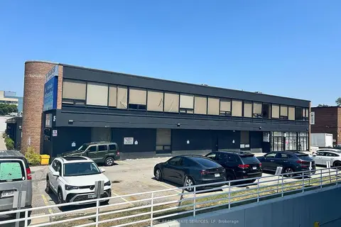
25 Lesmill Road B
St. Andrew-Windfields, Toronto
Commercial Retail · MLS® C13235024 · AVISON YOUNG COMMERCIAL REAL ESTATE SERVICES, LP
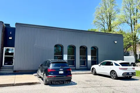
$19/mo
1939 Leslie Street
St. Andrew-Windfields, Toronto
Office · MLS® C13248030 · ATLANTIS REALTY SERVICES INC.
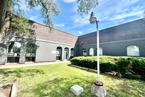
$19/mo
2 ba
1919 Leslie Street
St. Andrew-Windfields, Toronto
Industrial · MLS® C13730398 · ATLANTIS REALTY SERVICES INC.
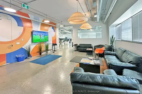
$21/mo
2 ba
4211 Yonge Street 601
St. Andrew-Windfields, Toronto
Office · MLS® C13752356 · KELLER WILLIAMS PORTFOLIO REALTY
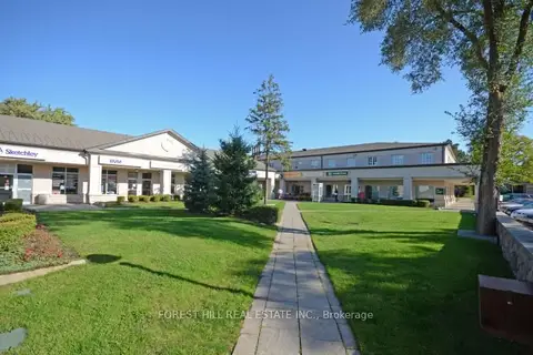
$18/mo
35 The Links Road 201
St. Andrew-Windfields, Toronto
Office · MLS® C13633208 · FOREST HILL REAL ESTATE INC.