4- 2468 Eglinton Avenue W
Beechborough-Greenbrook, Toronto, M6M 5E2
$169,000
Listed 18 days ago · MLS® W13854938
About this home
Turnkey Convenience Store with Multiple Revenue Streams in a Prime Toronto Location! Located at 2468 Eglinton Avenue West, this well-established Family Food Mart presents an excellent opportunity to acquire a proven, easy-to-operate convenience business in a busy commercial plaza. The store benefits from excellent visibility, steady pedestrian traffic, and a strong surrounding residential customer base. Weekly sales are approximately $10,000-$11,000, supplemented by commission income from OLG Lottery, ATM, Bitcoin ATM, U-Haul, Ria Money Transfer, and Western Union, creating several sources of revenue. The fully equipped store offers a broad selection of everyday essentials, including groceries, beverages, snacks, cigarettes, beer, and wine. The low base rent of approximately $2,733.50 per month provides attractive occupancy costs and supports efficient operations. Strong potential to further increase sales through expanded product offerings, extended hours, and enhanced local marketing. A rare opportunity to acquire an established, turnkey business with diversified revenue streams and an affordable lease structure in a high-demand Toronto location.
Details
- Type
- Sale Of Business
- Lot
- 18 × 84 ft
- Garage
- None
- Neighbourhood
- Beechborough-Greenbrook
- Municipality
- Toronto W04
Heating, cooling and services
- Heating
- Gas Forced Air Open
- Air conditioning
- Yes
- Utilities
- Available
Building and exterior
- Building area
- 1,562 Square Feet
More
- Possession
- TBD
- Cross street
- Eglington/Keele
- Business type
- Convenience/Variety
Location
Location is approximate. See nearby homes on the map
Recent sales nearby
See what similar homes within 1 km sold for in the last year. Create a free account or sign in to see them.
The neighbourhood
Getting around Very walkable
- 🚇 Caledonia LRT4 min walk
- 🚇 Keelesdale LRT8 min walk
- 🚆 Mount Dennis GO1.6 km
Within a 10-minute walk: 4 grocery stores, 9 cafés and restaurants, 7 parks, 3 pharmacies. Nearest grocery: G&J West Indian Grocery & Kitchen (150 m). Nearest park: Haverson Park (350 m).
Schools nearby
Elementary
- Silverthorn Community School
EQAO: Gr 6 reading 85%, math 26%8 min walk - Charles E Webster Public School
EQAO: Gr 6 reading 69%, math 19%10 min walk - Keelesdale Junior Public School
EQAO: Gr 6 reading 80%, math 10%14 min walk - Immaculate Conception Catholic School Catholic
EQAO: Gr 6 reading 64%, math 21%16 min walk
Secondary
- York Memorial Collegiate Institute
EQAO: Gr 9 math 35%, literacy test 65%11 min walk - George Harvey Collegiate Institute15 min walk
EQAO: share of students meeting the provincial standard (2024–25). Ontario average: Gr 6 reading 86%, math 51%; Gr 9 math 55%; literacy test 83%.
Closest schools, not school zones. Check which school serves this address with the school board before relying on it.
Who lives here postal area M6M
- Owners / renters
- 46% / 54%
- Median household income
- $71,500
- Average age
- 41
- Children under 15
- 16%
- Homes
- 28% detached, 39% high-rise
- Commute by transit
- 30%
- Population
- 42,148
Languages spoken most at home besides English: Portuguese 7.9%, Spanish 4.8%, Vietnamese 2.8%, Tagalog (Pilipino, Filipino) 2.4%.
Flood and conservation No mapped hazard
Not inside a mapped flood plain or regulated area.
Screening maps only. Ask the conservation authority for a property inquiry before relying on this.
Safety
Major crime per resident in Beechborough-Greenbrook (2025): about the Toronto average, down 37% from the year before.
- Assaultabout average
- Break and enter41% below average
- Auto theftabout average
- Robbery89% above average
- Theft from vehicles30% below average
- Shootings52% above average
Crime Severity Index for Toronto police: 60 vs 57 for Ontario (2025).
Police-reported figures for the whole neighbourhood, not this street. Rates use the area’s resident population.
Development nearby 4 active
-
2363 EGLINTON AVE W · 400 mOfficial Plan / Zoning By-law Amendment · Under Review · applied 2025Zoning By-law Amendment for a 43-storeys mixed use building. The building will contain 638 residential units and an overall height of 133.5 metres, including a…Application details
-
2485 EGLINTON AVE W · 50 mOfficial Plan / Zoning By-law Amendment · OMB Appeal · applied 2024The application proposes a new 45-storey mixed-use building containing 500 residential units, and a residential Gross Floor Area of 31,327 square metres. The…Application details
-
2421 EGLINTON AVE W · 150 mOfficial Plan / Zoning By-law Amendment · Under Review · applied 2019INACTIVE Proposal for a 4-storey townhouse building containing 7 residential units. No parking is proposed.Application details
-
2421 EGLINTON AVE W · 150 mSite Plan · Under Review · applied 2019INACTIVE Site Plan Control application for proposed four-storey townhouse development comprised of 7 units.Application details
-
2400 EGLINTON AVE W · 100 mOfficial Plan / Zoning By-law Amendment · Closed · applied 2023This application will provide an Amendment to the Official Plan for the lands designated as 2400 Eglinton Avenue West. The subject lands are designated as…Application details
-
2400 EGLINTON AVE W · 100 mSite Plan · Closed · applied 2022Development of the Caledonia GO Station, owned and operated by Metrolinx.Proposed station is connected to Caledonia ECLRT station -- refer to Site Plan File…Application details
1 more within 500 m.
Rezoning, site plan, subdivision and condominium applications filed with the city.
Distances are approximate. Places © OpenStreetMap contributors. Neighbourhood figures: Statistics Canada, 2021 Census. School results: EQAO via Ontario Data Catalogue (Open Government Licence – Ontario). Neighbourhood crime: Toronto Police Service Public Safety Data Portal (Open Government Licence – Toronto Police Service). Crime Severity Index: Statistics Canada. Planning applications: City of Toronto open data.
Living here
Commute
To Union Station (downtown Toronto): 9 km. Transit times · Driving times
Noise 1 source nearby
- 🚆 Rail line (Newmarket Subdivision)300 m
Distances from the map, not noise measurements. Visit at rush hour to judge for yourself.
Trees
22 City street trees within 100 m, mostly honeys. That’s fewer than the Toronto average of 42.
Trees on City boulevards only, not private yards or parks.
Internet High-speed
50/10 Mbps or faster available here by cable, fibre or DSL (the federal high-speed target).
From the federal broadband map. Check exact speeds and providers for the address.
Zoning, heritage, building permits and street trees: City of Toronto open data (Open Government Licence – Toronto). Roads, rail, airports and planned stations © OpenStreetMap contributors. Internet: Innovation, Science and Economic Development Canada, National Broadband Data.
Listed by ELIXIR REAL ESTATE INC..
Listing information provided by PropTx Innovations Inc. and TRREB; deemed reliable but not guaranteed accurate by PropTx.
Similar homes nearby
See more in Toronto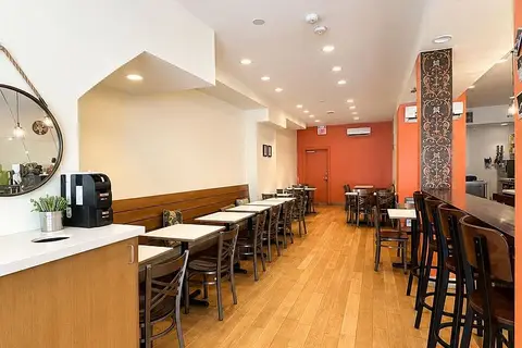
$169,000
2481 Yonge Street
Mount Pleasant West, Toronto
Sale Of Business · MLS® C13672396 · RE/MAX CROSSROADS REALTY INC.
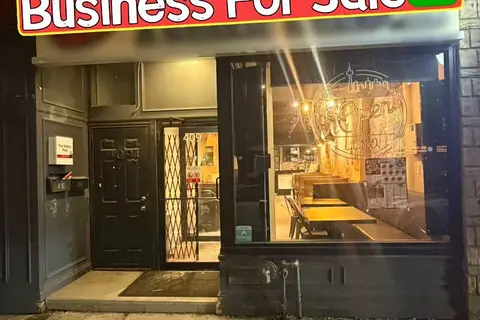
$169,000
4 ba
409 Spadina Avenue
Kensington-Chinatown, Toronto
Sale Of Business · MLS® C13855648 · BAY STREET GROUP INC.
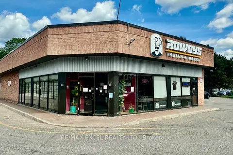
$169,000
Reduced $70,000
4352 Kingston Road 9
West Hill, Toronto
Sale Of Business · MLS® E13812584 · RE/MAX EXCEL REALTY LTD.
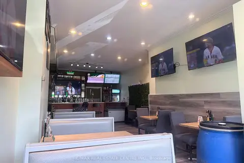
$169,000
399 Keele Street W
Junction Area, Toronto
Sale Of Business · MLS® W13431106 · RE/MAX REAL ESTATE CENTRE INC.
$169,000
2 ba
1183 Finch Avenue W 102
York University Heights, Toronto
Sale Of Business · MLS® W13657440 · CITIBLOC REALTY
 New
$169,111
2 ba
827 Albion Road
Thistletown-Beaumonde Heights, Toronto
Sale Of Business · MLS® W14093962 · ROYAL LEPAGE CERTIFIED REALTY
$168,800
62 Laird Drive
Leaside, Toronto
Sale Of Business · MLS® C12485108 · RE/MAX REAL ESTATE CENTRE INC.
$168,800
495 Bloor Street W
University, Toronto
Sale Of Business · MLS® C13454908 · RE/MAX PROFESSIONALS INC.