39 Darren Road
Vales of Castlemore North, Brampton, L6P 1Z5
$1,250,000
- 4+2 bedrooms
- 5 bathrooms
- 6 parking
- 3000-3500 sq ft
Listed 17 days ago · MLS® W13856210
About this home
Welcome to this bright and spacious residence, perfectly situated on a quiet and family friendly street in the prestigious Vales of Castlemore community. This beautifully maintained home offers a functional layout with generous living areas, ideal for both everyday living and entertaining. The grand Oak kitchen is a true highlight, featuring elegant granite countertops, premium stainless steel appliances, and hardwood flooring throughout the Main floor and full Second floor. Oak Staircase. The home also includes a spacious 2-bedroom basement with a separate entrance, full kitchen, and washroom perfect for extended family living or potential rental income.
Details
- Type
- Detached
- Style
- 2-Storey
- Size
- 3000-3500 sq ft
- Lot
- 44.46 × 86.32 ft
- Basement
- Finished, Separate Entrance
- Garage
- Attached
- Kitchens
- 2
- Property tax
- $9,401 (2025)
- Neighbourhood
- Vales of Castlemore North
- Municipality
- Brampton
- Price per sq ft
- $385 (11% below detached houses in Vales of Castlemore North, $431)
Interior
- Bedrooms
- 4 above ground + 2 below
- Bathrooms
- 1 × 2-piece (main), 1 × 5-piece (upper), 1 × 3-piece (upper), 1 × 3-piece (upper), 1 × 3-piece (basement)
- Kitchens
- 2 (1 below ground)
- Rooms
- 10 above ground + 3 below
- Family room or den
- Yes
- Fireplace
- Yes
- Features
- Carpet Free
Heating, cooling and services
- Heating
- Forced Air, Gas
- Air conditioning
- Central Air
- Water and sewer
- Sewer
Building and exterior
- Style
- 2-Storey
- Exterior
- Brick
- Roof
- Shingles
- Foundation
- Brick
- Faces
- South
Parking
- Garage spaces
- 2
- Total parking
- 6
- Driveway and parking
- Available
Lot
- Size
- 44.46 × 86.32 ft
More
- Possession
- TBA
- Cross street
- Airport and Countryside
History of this address
5 earlier listings at this address, with sold and leased prices. Create a free account or sign in to see them.
Location
Location is approximate. See nearby homes on the map
Recent sales nearby
See what similar homes within 1 km sold for in the last year. Create a free account or sign in to see them.
The neighbourhood
Getting around Somewhat walkable
No subway, LRT or GO station within a short trip.
Within a 10-minute walk: 1 grocery store, 4 cafés and restaurants, 3 parks, 1 pharmacy. Nearest grocery: Subzi Mandi Indian Grocery Store (1000 m). Nearest park: Barbreh Brown Park (250 m).
Schools nearby
Elementary
- Mount Royal Public School
EQAO: Gr 6 reading 90%, math 61%3 min walk - Our Lady of Lourdes Catholic Elementary School Catholic
EQAO: Gr 6 reading 100%, math 50%4 min walk - Shaw Public School
EQAO: Gr 6 reading 93%, math 58%1.7 km - Holy Spirit Catholic Elementary School Catholic
EQAO: Gr 6 reading 95%, math 59%1.8 km
EQAO: share of students meeting the provincial standard (2024–25). Ontario average: Gr 6 reading 86%, math 51%; Gr 9 math 55%; literacy test 83%.
Closest schools, not school zones. Check which school serves this address with the school board before relying on it.
Who lives here postal area L6P
- Owners / renters
- 89% / 11%
- Median household income
- $134,000
- Average age
- 37
- Children under 15
- 18%
- Homes
- 71% detached, 2% high-rise
- Commute by transit
- 6%
- Population
- 91,155
Languages spoken most at home besides English: Punjabi (Panjabi) 26%, Gujarati 4.7%, Tamil 3.1%, Hindi 2.1%.
Flood and conservation No mapped hazard
Not inside a mapped flood plain or regulated area.
Screening maps only. Ask the conservation authority for a property inquiry before relying on this.
Safety
Crime Severity Index for Peel Region (Mississauga/Brampton) police: 59 vs 57 for Ontario (2025).
Police-reported figures for the whole police service area, not this street. Rates use the area’s resident population.
Development nearby 2 active
-
0 AIRPORT RD · 350 mOPA ZBA Subdivision · Deemed Complete · applied 2026Official Plan Amendment | Zoning By Law Amendment
-
11461 AIRPORT RD · 400 mSite Plan Approval · In Review · applied 2026Basic Site Plan
Rezoning, site plan, subdivision and condominium applications filed with the city.
Distances are approximate. Places © OpenStreetMap contributors. Neighbourhood figures: Statistics Canada, 2021 Census. School results: EQAO via Ontario Data Catalogue (Open Government Licence – Ontario). Crime Severity Index: Statistics Canada. Planning applications: City of Brampton open data.
Living here
Commute
To Union Station (downtown Toronto): 34 km. Transit times · Driving times
Noise Nothing major nearby
No highway within 500 m, rail line within 300 m, or airport flight path nearby.
Distances from the map, not noise measurements. Visit at rush hour to judge for yourself.
Internet High-speed
50/10 Mbps or faster available here by cable, fibre or DSL (the federal high-speed target).
From the federal broadband map. Check exact speeds and providers for the address.
Roads, rail, airports and planned stations © OpenStreetMap contributors. Internet: Innovation, Science and Economic Development Canada, National Broadband Data.
Listed by RE/MAX GOLD REALTY INC..
Listing information provided by PropTx Innovations Inc. and TRREB; deemed reliable but not guaranteed accurate by PropTx.
Similar homes nearby
See more in Brampton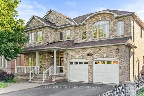
$1,279,000
4+2 bd5 ba7 pk3000-3500 ft²
52 Mount Royal Circle
Vales of Castlemore North, Brampton
Detached · MLS® W13748534 · TEAM PANAG REAL ESTATE INC.
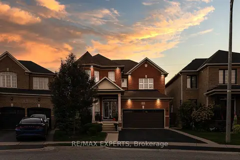
$1,199,999
4 bd3 ba6 pk2000-2500 ft²
34 Laurentide Crescent
Vales of Castlemore North, Brampton
Detached · MLS® W13583566 · RE/MAX EXPERTS
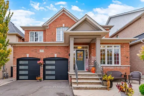
$1,199,000
4+1 bd4 ba6 pk2500-3000 ft²
5 Billancourt Crescent
Vales of Castlemore North, Brampton
Detached · MLS® W13850378 · HOMELIFE/MIRACLE REALTY LTD
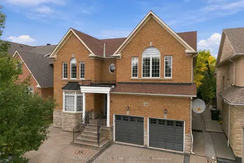
$1,349,000
5 bd5 ba6 pk3500-5000 ft²
15 Saint Hubert Drive
Vales of Castlemore North, Brampton
Detached · MLS® W14086360 · RE/MAX SPECIALISTS TEAM SUKHVINDER
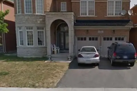
$1,375,000
4+3 bd7 ba6 pk3000-3500 ft²
11 Darren Road
Vales of Castlemore North, Brampton
Detached · MLS® W12523810 · ROYAL LEPAGE CERTIFIED REALTY
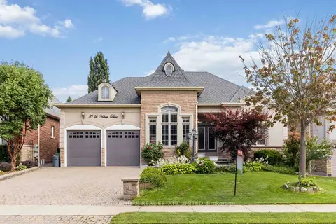
$1,399,000
3 bd3 ba7 pk2000-2500 ft²
39 Saint Hubert Drive
Vales of Castlemore North, Brampton
Detached · MLS® W13106568 · CASTLEMORE REAL ESTATE LIMITED
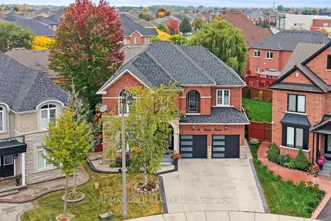
$1,399,900
5+2 bd6 ba6 pk3000-3500 ft²
16 Regis Circle
Vales of Castlemore North, Brampton
Detached · MLS® W13855544 · RE/MAX GOLD REALTY INC.
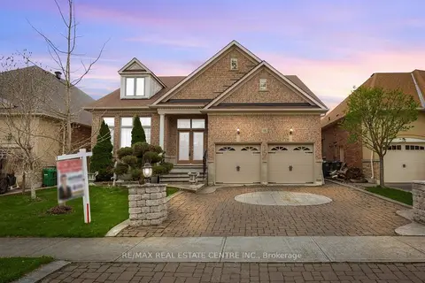
$1,098,999
Reduced $200,000
3 bd2 ba4 pk2000-2500 ft²
15 Concorde Drive
Vales of Castlemore North, Brampton
Detached · MLS® W13749420 · RE/MAX REAL ESTATE CENTRE INC.