380 Albion Road Hall #1
Elms-Old Rexdale, Toronto, M9W 3P5
$2,600/mo
- 2 bathrooms
Listed 81 days ago · MLS® W13627492
About this home
AWESOME LOCATION FOR PLACE OF WORSHIP!!! EASY ACCESS WITH PUBLIC TRANSIT AT DOORSTEP AND HWY 401 AND HWY 400 NEAR BY, PLENTY OF PARKING, SANCTUARY SEATS UP TO 400 MEMBERS, GREAT LAY OUT WITH PRIVATE ENTRANCE, CHAIRS PROVIDED, MONTHLY RENTAL PRICE BASED ON 2 DAYS PER WEEK, MAY BE ADJUSTED IF MORE DAYS ARE REQUIRED, AVAILABLE FOR SATURDAY SERVICE + BIBLE STUDY CLASS ON WEDNESDAY FOR 2 HOURS OR SUNDAY SERVICE FROM 3PM TO 6PM + WEDNESDAY BIBLE STUDY CLASS FOR 2 HOURS, UTILITIES INCLUDED, LOTS OF PARKING ON STREET NEXT TO CHURCH, CHRISTIAN CHURCH ONLY
Details
- Type
- Commercial Retail
- Garage
- Outside/Surface
- Neighbourhood
- Elms-Old Rexdale
- Municipality
- Toronto W10
Interior
- Bathrooms
- 2 × bathroom
Heating, cooling and services
- Heating
- Gas Forced Air Closed
- Air conditioning
- Yes
- Utilities
- Yes
Building and exterior
- Building area
- 4,000 Square Feet
Rental terms
- Minimum term
- 12 months
More
- Possession
- IMMED - 30 DAYS TBA
- Cross street
- ALBION RD & BEATTIE AVE
- Business type
- Church
Location
Location is approximate. See nearby homes on the map
The neighbourhood
Getting around Somewhat walkable
- 🚆 Etobicoke North GO2.4 km
Within a 10-minute walk: no grocery stores, 6 cafés and restaurants, 5 parks, 1 pharmacy. Nearest park: Turpin Avenue Park (450 m).
Schools nearby
Elementary
- Braeburn Junior School
EQAO: Gr 3 reading 71%, math 61%5 min walk - The Elms Junior Middle School
EQAO: Gr 6 reading 74%, math 28%7 min walk - St. Stephen Catholic School Catholic
EQAO: Gr 6 reading 78%, math 31%8 min walk - Elmlea Junior School
EQAO: Gr 3 reading 57%, math 39%17 min walk
Secondary
- Can-AIM High School1 min walk
- Thistletown Collegiate Institute
EQAO: Gr 9 math 33%, literacy test 78%16 min walk - St. Basil-the-Great College School Catholic
EQAO: Gr 9 math 45%, literacy test 71%1.5 km
EQAO: share of students meeting the provincial standard (2024–25). Ontario average: Gr 6 reading 86%, math 51%; Gr 9 math 55%; literacy test 83%.
Closest schools, not school zones. Check which school serves this address with the school board before relying on it.
Who lives here postal area M9W
- Owners / renters
- 58% / 42%
- Median household income
- $85,000
- Average age
- 41
- Children under 15
- 15%
- Homes
- 37% detached, 32% high-rise
- Commute by transit
- 22%
- Population
- 40,977
Languages spoken most at home besides English: Punjabi (Panjabi) 6.8%, Spanish 3.2%, Gujarati 2.4%, Tagalog (Pilipino, Filipino) 1.5%.
Flood and conservation Regulated area
This address is inside a conservation-authority regulated area (Toronto and Region Conservation Authority): near a valley, stream, shoreline or wetland, where flooding or erosion can occur. New building, additions, pools or grading usually need a permit from the authority.
Screening maps only. Ask the conservation authority for a property inquiry before relying on this.
Safety
Major crime per resident in Elms-Old Rexdale (2025): 23% above the Toronto average, down 5% from the year before.
- Assaultabout average
- Break and enterabout average
- Auto theft116% above average
- Robbery77% above average
- Theft from vehicles25% below average
- Shootings143% above average
Crime Severity Index for Toronto police: 60 vs 57 for Ontario (2025).
Police-reported figures for the whole neighbourhood, not this street. Rates use the area’s resident population.
Development nearby
No planning applications within 500 m in the last five years.
Rezoning, site plan, subdivision and condominium applications filed with the city.
Distances are approximate. Places © OpenStreetMap contributors. Neighbourhood figures: Statistics Canada, 2021 Census. School results: EQAO via Ontario Data Catalogue (Open Government Licence – Ontario). Flood and regulation mapping: Toronto and Region Conservation Authority open data. Neighbourhood crime: Toronto Police Service Public Safety Data Portal (Open Government Licence – Toronto Police Service). Crime Severity Index: Statistics Canada.
Living here
Commute
To Union Station (downtown Toronto): 16 km. Transit times · Driving times
Noise Nothing major nearby
No highway within 500 m, rail line within 300 m, or airport flight path nearby.
Distances from the map, not noise measurements. Visit at rush hour to judge for yourself.
Building permits
No building permits at this address since 2014.
1 permit on this block of the street in the last 2 years, including 1 new home.
Permits filed with the City of Toronto. A permit doesn’t mean the work passed final inspection.
Trees
27 City street trees within 100 m. That’s fewer than the Toronto average of 42.
Trees on City boulevards only, not private yards or parks.
Internet High-speed
50/10 Mbps or faster available here by cable, fibre or DSL (the federal high-speed target).
From the federal broadband map. Check exact speeds and providers for the address.
Zoning, heritage, building permits and street trees: City of Toronto open data (Open Government Licence – Toronto). Roads, rail, airports and planned stations © OpenStreetMap contributors. Internet: Innovation, Science and Economic Development Canada, National Broadband Data.
Listed by SUTTON GROUP-ADMIRAL REALTY INC..
Listing information provided by PropTx Innovations Inc. and TRREB; deemed reliable but not guaranteed accurate by PropTx.
Similar homes nearby
See more in Toronto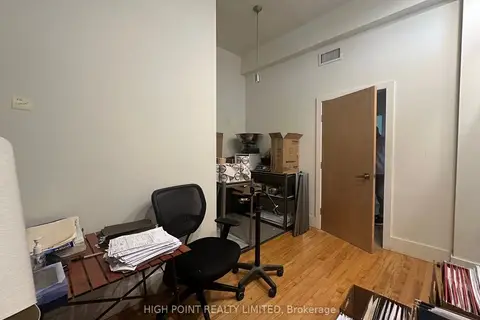
$2,600/mo
12 Birch Avenue 207
Yonge-St. Clair, Toronto
Office · MLS® C12319026 · HIGH POINT REALTY LIMITED
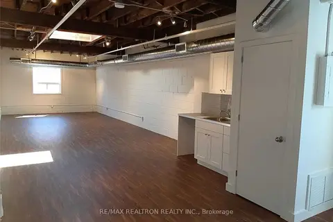
$2,600/mo
135 Tecumseth Street 9B1
Niagara, Toronto
Commercial Retail · MLS® C14029822 · RE/MAX REALTRON REALTY INC.
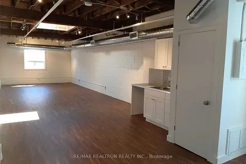
$2,600/mo
135 Tecumseth Street 9B2
Niagara, Toronto
Office · MLS® C14029836 · RE/MAX REALTRON REALTY INC.
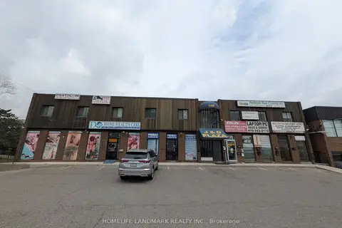
$2,600/mo
Reduced $100
100 Rexdale Boulevard 309
Rexdale-Kipling, Toronto
Commercial Retail · MLS® W13587964 · HOMELIFE LANDMARK REALTY INC.

$2,600/mo
14 Leswyn Road 203
Yorkdale-Glen Park, Toronto
Office · MLS® W13834474 · Avenue Group Realty Inc.
$2,600/mo
3 ba
1224 King Street W Lower Level
South Parkdale, Toronto
Commercial Retail · MLS® W13837348 · Royal LePage Our Neighbourhood Realty
$2,595/mo
9 ba
33 Villiers Street 102
South Riverdale, Toronto
Commercial Retail · MLS® E12905070 · RE/MAX ESCARPMENT REALTY INC.
$2,550/mo
225 Mcrae Drive
Leaside, Toronto
Commercial Retail · MLS® C13769282 · SMART SOLD REALTY