377 Burnhamthorpe Road E 4
Rathwood, Mississauga, L5A 3Y1
$289,000
- 1 bathrooms
Listed 44 days ago · MLS® W13750666
About this home
NEW PRICE - $289,000! Step into an established Mississauga food brand with a loyal following, strong online reviews and multiple ways to generate revenue. Shawarma Kingdom is a fully equipped, turnkey Mediterranean QSR located in busy Central Parkway Mall. The 1,094 sq. ft. premises offer excellent exposure, convenient access from BOTH inside the mall and from the parking lot, seating for approximately 30 guests, and a commercial kitchen designed to handle dine-in, takeout, delivery and catering volume. What really separates this opportunity? The sale includes an established mobile catering and event operation, allowing a new owner to serve festivals, community events, corporate functions and large private gatherings - not just customers walking through the restaurant doors. All owned equipment is included, featuring six shawarma machines, a walk-in cooler, two griddles, fryer, fire-suppression system and more. Take over the existing concept and build on its name recognition, or bring your own ideas to a well-equipped location with serious potential. A compelling opportunity for an experienced operator, family-run business or growing food-service brand seeking an established Mississauga location at an aggressive new price.
Details
- Type
- Sale Of Business
- Garage
- None
- Property tax
- $19,298 (2025)
- Neighbourhood
- Rathwood
- Municipality
- Mississauga
Interior
- Bathrooms
- 1 × bathroom
Heating, cooling and services
- Heating
- Gas Forced Air Closed
- Air conditioning
- Yes
Building and exterior
- Building area
- 1,094 Square Feet
More
- Possession
- Flexible
- Cross street
- Central Pkwy E
- Business type
- Fast Food/Takeout
Location
Location is approximate. See nearby homes on the map
Recent sales nearby
See what similar homes within 1 km sold for in the last year. Create a free account or sign in to see them.
The neighbourhood
Getting around Somewhat walkable
- 🚆 Cooksville GO2.1 km
Within a 10-minute walk: 1 grocery store, 2 cafés and restaurants, 9 parks, 4 pharmacies. Nearest grocery: Food Basics (100 m). Nearest park: Greenfield Park (400 m).
Schools nearby
Elementary
- Canadian Martyrs School Catholic
EQAO: Gr 6 reading 82%, math 50%6 min walk - Briarwood Public School
EQAO: Gr 3 reading 75%, math 52%9 min walk - École élémentaire catholique René-Lamoureux French
EQAO: Gr 6 reading 95%, math 100%9 min walk - St. Charles Garnier School Catholic
EQAO: Gr 6 reading 88%, math 38%11 min walk
Secondary
- The Valleys Senior Public School8 min walk
- John Cabot Catholic Secondary School Catholic
EQAO: Gr 9 math 46%, literacy test 76%1.4 km
EQAO: share of students meeting the provincial standard (2024–25). Ontario average: Gr 6 reading 86%, math 51%; Gr 9 math 55%; literacy test 83%.
Closest schools, not school zones. Check which school serves this address with the school board before relying on it.
Who lives here postal area L5A
- Owners / renters
- 50% / 50%
- Median household income
- $80,000
- Average age
- 42
- Children under 15
- 16%
- Homes
- 15% detached, 58% high-rise
- Commute by transit
- 16%
- Population
- 47,406
Languages spoken most at home besides English: Arabic 4.3%, Polish 3.4%, Tagalog (Pilipino, Filipino) 2.5%, Urdu 2.5%.
Flood and conservation No mapped hazard
Not inside a mapped flood plain or regulated area.
Screening maps only. Ask the conservation authority for a property inquiry before relying on this.
Safety
Crime Severity Index for Peel Region (Mississauga/Brampton) police: 59 vs 57 for Ontario (2025).
Police-reported figures for the whole police service area, not this street. Rates use the area’s resident population.
Development nearby
No planning applications within 500 m in the last five years.
Rezoning, site plan, subdivision and condominium applications filed with the city.
Distances are approximate. Places © OpenStreetMap contributors. Neighbourhood figures: Statistics Canada, 2021 Census. School results: EQAO via Ontario Data Catalogue (Open Government Licence – Ontario). Crime Severity Index: Statistics Canada.
Living here
Commute
To Union Station (downtown Toronto): 20 km. Transit times · Driving times
Coming transit
- 🚧 Burnhamthorpe Hazel McCallion LRT1.2 km · opening about 2029
- 🚧 Robert Speck Hazel McCallion LRT1.2 km · opening about 2029
- 🚧 Fairview Hazel McCallion LRT1.4 km · opening about 2029
Stations under construction or approved. Opening dates are the latest public estimates and often move.
Noise Nothing major nearby
No highway within 500 m, rail line within 300 m, or airport flight path nearby.
Distances from the map, not noise measurements. Visit at rush hour to judge for yourself.
Internet High-speed
50/10 Mbps or faster available here by cable, fibre or DSL (the federal high-speed target).
From the federal broadband map. Check exact speeds and providers for the address.
Roads, rail, airports and planned stations © OpenStreetMap contributors. Internet: Innovation, Science and Economic Development Canada, National Broadband Data.
Listed by iCloud Realty Ltd..
Listing information provided by PropTx Innovations Inc. and TRREB; deemed reliable but not guaranteed accurate by PropTx.
Similar homes nearby
See more in Mississauga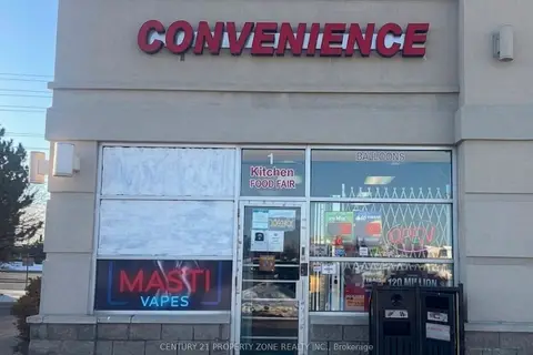
$289,000
6986 Financial Drive 1
Meadowvale Business Park, Mississauga
Sale Of Business · MLS® W13139500 · CENTURY 21 PROPERTY ZONE REALTY INC.

$288,000
3 ba
2150 Dunwin Drive 4-5
Erin Mills, Mississauga
Sale Of Business · MLS® W13822986 · BAY STREET GROUP INC.
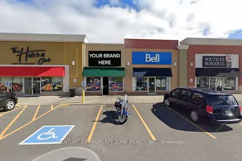
$295,000
3021 Argentia Road 5
Meadowvale Business Park, Mississauga
Sale Of Business · MLS® W13692582 · CENTURY 21 PROPERTY ZONE REALTY INC.
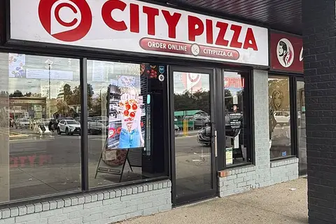
$280,000
1865 Lakeshore Road W
Clarkson, Mississauga
Sale Of Business · MLS® W14034640 · COLDWELL BANKER G19 REALTY
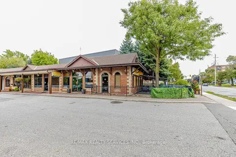
$279,900
63 Queen Street S
Streetsville, Mississauga
Sale Of Business · MLS® W13799392 · RE/MAX REALTY SERVICES INC.
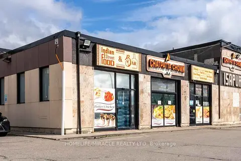
$299,000
7454 Airport Road Unit A
Northeast, Mississauga
Sale Of Business · MLS® W13025824 · HOMELIFE/MIRACLE REALTY LTD
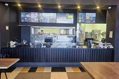
$299,000
1476 Dundas Street E 3
Dixie, Mississauga
Sale Of Business · MLS® W13469026 · KING REALTY INC.
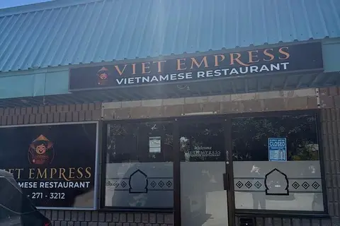
$299,000
645 Lakeshore Road E 4
Lakeview, Mississauga
Sale Of Business · MLS® W13541132 · HOMELIFE/MIRACLE REALTY LTD