36 Welland Street Main Floor
773 - Lincoln/Crowland, Welland, L3B 4E4
$2,000/mo
- 2+1 bedrooms
- 1 bathrooms
- 1 parking
- 700-1100 sq ft
Listed 49 days ago · MLS® X13733660
About this home
Welcome To 36 Welland St! This Beautifully Maintained 2+Den Home Offers A Bright And Spacious Layout Flooded With Natural Light. The Open-Concept Living And Dining Areas Are Perfect For Entertaining, While The Modern Kitchen Features Stainless Steel Appliances And Ample Cabinet Space. The Den Can Be Used As A Home Office, Guest Room, Or An Additional Bedroom. Enjoy Generous-Sized Bedrooms, Sleek Finishes, And Thoughtful Touches Throughout. Located On A Quiet Street In A Family-Friendly Neighbourhood. A Perfect Blend Of Comfort, Style, And Convenience. Don't Miss Out!
Details
- Type
- Duplex
- Style
- 2-Storey
- Size
- 700-1100 sq ft
- Lot
- 49.5 × 132 ft
- Basement
- Other
- Garage
- Detached
- Kitchens
- 1
- Neighbourhood
- 773 - Lincoln/Crowland
- Municipality
- Welland
- Rent increase limit
- Depends on when the unit was first lived in: before Nov. 15, 2018 it’s covered by Ontario’s yearly limit (2.1% in 2026); after, there’s no cap.
Interior
- Bedrooms
- 2 above ground + 1 below
- Bathrooms
- 1 × 4-piece (main)
- Rooms
- 6 above ground
- Family room or den
- No
- Fireplace
- No
- Laundry
- Shared
- Features
- Carpet Free
- Furnished
- Unfurnished
Heating, cooling and services
- Heating
- Forced Air, Gas
- Air conditioning
- Central Air
- Water and sewer
- Sewer
Building and exterior
- Style
- 2-Storey
- Exterior
- Stucco (Plaster)
- Roof
- Asphalt Shingle
- Faces
- East
- Outdoor
- Deck, Porch
Parking
- Total parking
- 1
Lot
- Size
- 49.5 × 132 ft
Rental terms
- Rent includes
- Water
More
- Possession
- Immediate
- Cross street
- E Main St
Rooms
| Room | Level | Size | Features |
|---|---|---|---|
| Bedroom | Main | 8.89 × 8.76 m (29'2" × 28'9") | Large Window |
| Kitchen | Main | 11.15 × 8.76 m (36'7" × 28'9") | Overlooks Dining |
| Dining Room | Main | 26.77 × 13.06 m (87'10" × 42'10") | Combined w/Living |
| Living Room | Main | 26.77 × 13.06 m (87'10" × 42'10") | Combined w/Dining |
| Den | Main | 13.48 × 8.79 m (44'3" × 28'10") | W/O To Deck, 4 Pc Bath, Double Closet |
| Primary Bedroom | Second | 15.32 × 16.24 m (50'3" × 53'3") | His and Hers Closets, W/O To Balcony, Sliding Doors |
History of this address
2 earlier listings at this address, with sold and leased prices. Create a free account or sign in to see them.
Location
Location is approximate. See nearby homes on the map
The neighbourhood
Getting around Walkable
No subway, LRT or GO station within a short trip.
Within a 10-minute walk: 1 grocery store, 16 cafés and restaurants, 9 parks, 6 pharmacies. Nearest grocery: No Frills (550 m). Nearest park: Burgar Park (250 m).
Schools nearby
Elementary
- Princess Elizabeth Public School
EQAO: Gr 6 reading 90%, math 48%13 min walk - Plymouth Public School
EQAO: Gr 6 reading 100%, math 100%15 min walk - St. Andrew Catholic Elementary School Catholic
EQAO: Gr 6 reading 86%, math 96%16 min walk - St. Mary Catholic Elementary School Catholic
EQAO: Gr 6 reading 83%, math 50%18 min walk
Secondary
- Eastdale Secondary School
EQAO: Gr 9 math 43%, literacy test 92%1.3 km - Notre Dame College School Catholic
EQAO: Gr 9 math 56%, literacy test 85%1.4 km
EQAO: share of students meeting the provincial standard (2024–25). Ontario average: Gr 6 reading 86%, math 51%; Gr 9 math 55%; literacy test 83%.
Closest schools, not school zones. Check which school serves this address with the school board before relying on it.
Who lives here postal area L3B
- Owners / renters
- 65% / 35%
- Median household income
- $66,500
- Average age
- 43
- Children under 15
- 16%
- Homes
- 65% detached, 3% high-rise
- Commute by transit
- 2%
- Population
- 25,869
Languages spoken most at home besides English: Spanish 0.6%, Italian 0.5%, Urdu 0.4%, Punjabi (Panjabi) 0.2%.
Flood and conservation No mapped hazard
Not inside a mapped flood plain or regulated area in Niagara Peninsula Conservation’s mapping.
Screening maps only. Ask the conservation authority for a property inquiry before relying on this.
Safety
Crime Severity Index for Niagara Region (St. Catharines) police: 54 vs 57 for Ontario (2025).
Police-reported figures for the whole police service area, not this street. Rates use the area’s resident population.
Distances are approximate. Places © OpenStreetMap contributors. Neighbourhood figures: Statistics Canada, 2021 Census. School results: EQAO via Ontario Data Catalogue (Open Government Licence – Ontario). Flood and regulation mapping: Niagara Peninsula Conservation open data. Crime Severity Index: Statistics Canada.
Living here
Commute
To Union Station (downtown Toronto): 74 km. Transit times · Driving times
Noise 1 source nearby
- 🚆 Rail line (Canal Spur)150 m
Distances from the map, not noise measurements. Visit at rush hour to judge for yourself.
Internet High-speed
50/10 Mbps or faster available here by cable, fibre or DSL (the federal high-speed target).
From the federal broadband map. Check exact speeds and providers for the address.
Roads, rail, airports and planned stations © OpenStreetMap contributors. Internet: Innovation, Science and Economic Development Canada, National Broadband Data.
Listed by ROYAL LEPAGE URBAN REALTY.
Listing information provided by PropTx Innovations Inc. and TRREB; deemed reliable but not guaranteed accurate by PropTx.
Similar homes nearby
See more in Welland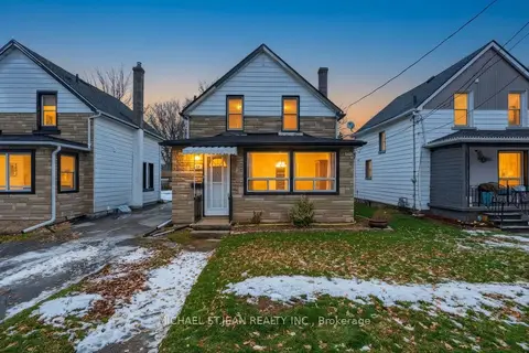
$2,000/mo
Reduced $200
3 bd1 ba1 pk1100-1500 ft²
20 York Street
773 - Lincoln/Crowland, Welland
Detached · MLS® X13223502 · MICHAEL ST.JEAN REALTY INC.
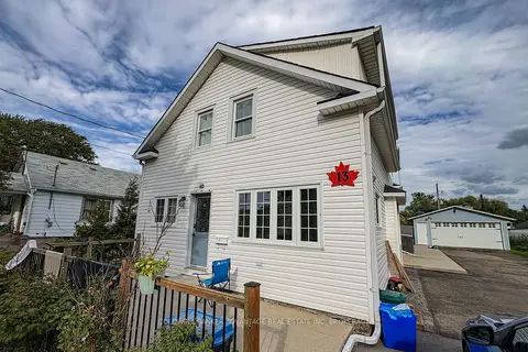
$1,950/mo
Reduced $150
0+2 bd2 ba2 pk< 700 ft²
13 Alberta Street
773 - Lincoln/Crowland, Welland
Duplex · MLS® X13769924 · COLDWELL BANKER ADVANTAGE REAL ESTATE INC, BROKERAGE
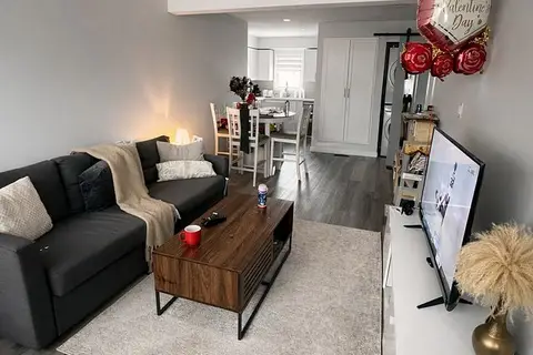
$2,050/mo
3 bd1 ba1 pk700-1100 ft²
81 Afton Avenue
773 - Lincoln/Crowland, Welland
Semi-Detached · MLS® X13846386 · RIGHT AT HOME REALTY
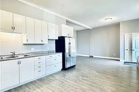
$2,100/mo
3 bd1 ba1 pk1100-1500 ft²
528 Lincoln Street Unit A
773 - Lincoln/Crowland, Welland
Fourplex · MLS® X12745550 · REVEL REALTY INC.
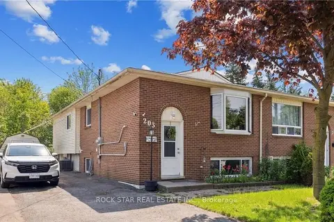
$2,100/mo
3 bd1 ba4 pk700-1100 ft²
203 COMMERCIAL Street Upper
773 - Lincoln/Crowland, Welland
Semi-Detached · MLS® X13715850 · ROCK STAR REAL ESTATE INC.
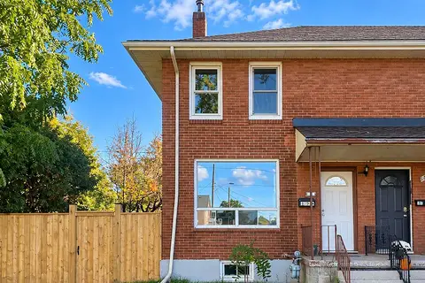
$1,900/mo
3+1 bd2 ba3 pk700-1100 ft²
199 Lincoln Street
773 - Lincoln/Crowland, Welland
Att/Row/Townhouse · MLS® X13909142 · REALTY 7 LTD.
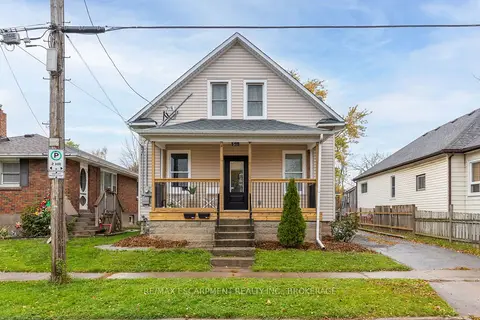
$1,850/mo
2 bd2 ba700-1100 ft²
50 Fifth Street Main
773 - Lincoln/Crowland, Welland
Duplex · MLS® X13877132 · RE/MAX ESCARPMENT REALTY INC., BROKERAGE
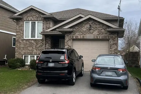
$1,850/mo
Reduced $150
2 bd1 ba2 pk700-1100 ft²
293 DAIN Avenue
773 - Lincoln/Crowland, Welland
Detached · MLS® X13877970 · CENTURY 21 PEOPLE`S CHOICE REALTY INC.