353 Dain Avenue
773 - Lincoln/Crowland, Welland, L3B 3E8
$948,000
Reduced $50,000 from $998,000
- 1 bathrooms
Listed 56 days ago · MLS® X13710174
About this home
Excellent opportunity to own a versatile mixed-use residential/light commercial property in Welland! Situated on a generous double lot with 80' frontage, 353 Dain Avenue features a solid block construction with durable metal siding and offers approximately 3,100 sq. ft. of flexible space. Currently operating as a vehicle repair facility, the main shop spans 30' x 60' (approx. 1,800 sq. ft.) and includes a loft area, while an additional 1,300 sq. ft. garage provides ample workspace and storage. The building is equipped with 600-volt, 3-phase electrical service, propane heating, a bathroom, and a flat tar and gravel roof. A survey is available for added convenience. The expansive gravel parking area accommodates multiple vehicles with ease, making it ideal for commercial use or future redevelopment. Zoned RL2, this property offers excellent potential for conversion or redevelopment, including the possibility of up to four residential units. Natural gas is available at the property line. A rare opportunity for investors, contractors, or entrepreneurs seeking space, flexibility, and future potential in a growing area.
Details
- Type
- Investment
- Lot
- 80 × 118.7 ft
- Garage
- In/Out
- Property tax
- $4,735 (2025)
- Neighbourhood
- 773 - Lincoln/Crowland
- Municipality
- Welland
Interior
- Bathrooms
- 1 × bathroom
Heating, cooling and services
- Heating
- Propane Gas
- Water and sewer
- Sanitary+Storm
- Utilities
- Available
Building and exterior
- Building area
- 3,100 Square Feet
More
- Possession
- Flexible
- Cross street
- Ontario Road & Plymouth Road/Dain Avenue
Location
Location is approximate. See nearby homes on the map
Recent sales nearby
See what similar homes within 1 km sold for in the last year. Create a free account or sign in to see them.
The neighbourhood
Getting around Somewhat walkable
No subway, LRT or GO station within a short trip.
Within a 10-minute walk: no grocery stores, 6 cafés and restaurants, 4 parks, 2 pharmacies. Nearest park: Chaffey Park (350 m).
Schools nearby
Elementary
- Diamond Trail Public School
EQAO: Gr 6 reading 96%, math 85%16 min walk - St. Mary Catholic Elementary School Catholic
EQAO: Gr 6 reading 83%, math 50%1.3 km - Plymouth Public School
EQAO: Gr 6 reading 100%, math 100%1.5 km - St. Augustine Catholic Elementary School Catholic
EQAO: Gr 6 reading 91%, math 36%1.5 km
EQAO: share of students meeting the provincial standard (2024–25). Ontario average: Gr 6 reading 86%, math 51%; Gr 9 math 55%; literacy test 83%.
Closest schools, not school zones. Check which school serves this address with the school board before relying on it.
Who lives here postal area L3B
- Owners / renters
- 65% / 35%
- Median household income
- $66,500
- Average age
- 43
- Children under 15
- 16%
- Homes
- 65% detached, 3% high-rise
- Commute by transit
- 2%
- Population
- 25,869
Languages spoken most at home besides English: Spanish 0.6%, Italian 0.5%, Urdu 0.4%, Punjabi (Panjabi) 0.2%.
Flood and conservation No mapped hazard
Not inside a mapped flood plain or regulated area in Niagara Peninsula Conservation’s mapping.
Screening maps only. Ask the conservation authority for a property inquiry before relying on this.
Safety
Crime Severity Index for Niagara Region (St. Catharines) police: 54 vs 57 for Ontario (2025).
Police-reported figures for the whole police service area, not this street. Rates use the area’s resident population.
Distances are approximate. Places © OpenStreetMap contributors. Neighbourhood figures: Statistics Canada, 2021 Census. School results: EQAO via Ontario Data Catalogue (Open Government Licence – Ontario). Flood and regulation mapping: Niagara Peninsula Conservation open data. Crime Severity Index: Statistics Canada.
Living here
Commute
To Union Station (downtown Toronto): 76 km. Transit times · Driving times
Noise Nothing major nearby
No highway within 500 m, rail line within 300 m, or airport flight path nearby.
Distances from the map, not noise measurements. Visit at rush hour to judge for yourself.
Internet High-speed
50/10 Mbps or faster available here by cable, fibre or DSL (the federal high-speed target).
From the federal broadband map. Check exact speeds and providers for the address.
Roads, rail, airports and planned stations © OpenStreetMap contributors. Internet: Innovation, Science and Economic Development Canada, National Broadband Data.
Listed by BOLDT REALTY INC., BROKERAGE.
Listing information provided by PropTx Innovations Inc. and TRREB; deemed reliable but not guaranteed accurate by PropTx.
Similar homes nearby
See more in Welland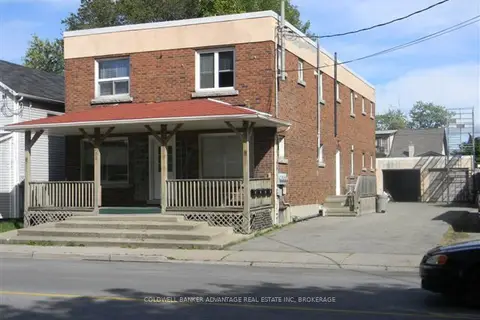
$799,900
366 Crowland Avenue
773 - Lincoln/Crowland, Welland
Investment · MLS® X13726648 · COLDWELL BANKER ADVANTAGE REAL ESTATE INC, BROKERAGE
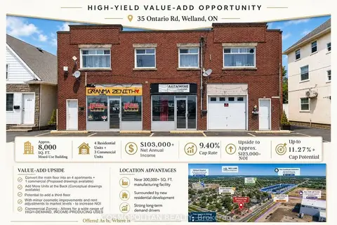
$1,099,000
35 Ontario Road
773 - Lincoln/Crowland, Welland
Store W Apt/Office · MLS® X13874368 · COSMOPOLITAN REALTY

$1,060,000
187 King Street
768 - Welland Downtown, Welland
Sale Of Business · MLS® X13660344 · BAY STREET GROUP INC.