350 Oakdale Road 1
Glenfield-Jane Heights, Toronto, M3N 1W5
$13/mo
Listed 57 days ago · MLS® W13707872
About this home
Industrial unit with premium Hwy 400 exposure. Ideal for manufacturers, light assembly, production, wholesalers, contractors, and traditional warehousing. New LED lighting, drive-in doors and warehouse heaters. Currently demised into two units with ability to combine into one. AAA landlord. TTC bus stops at your doorstep. Unbeatable labour pool. 1.5 km to Hwy 400 and 3.5 km to Hwy 407.
Details
- Type
- Industrial
- Garage
- Outside/Surface
- Property tax
- $4 (2026)
- Neighbourhood
- Glenfield-Jane Heights
- Municipality
- Toronto W05
Heating, cooling and services
- Heating
- Gas Forced Air Closed
- Air conditioning
- Partial
- Water and sewer
- Sanitary+Storm
- Utilities
- Yes
Building and exterior
- Building area
- 21,118 Square Feet
Rental terms
- Minimum term
- 60 months
More
- Possession
- Immediate
- Cross street
- Oakdale Road / Eddystone Avenue
Location
Location is approximate. See nearby homes on the map
The neighbourhood
Getting around Somewhat walkable
- 🚇 Signet Arrow LRT15 min walk
- 🚇 Norfinch Oakdale LRT16 min walk
- 🚆 Downsview Park GO4.0 km
Within a 10-minute walk: no grocery stores, 3 cafés and restaurants, 1 park, 1 pharmacy. Nearest park: Habitant Park (950 m).
Schools nearby
Elementary
- Firgrove Public School
EQAO: Gr 3 reading 62%, math 52%12 min walk - St. Francis de Sales Catholic School Catholic
EQAO: Gr 6 reading 64%, math 20%15 min walk - Stanley Public School
EQAO: Gr 3 reading 62%, math 35%16 min walk - Yorkwoods Public School
EQAO: Gr 3 reading 26%, math 0%18 min walk
Secondary
- Westview Centennial Secondary School
EQAO: Gr 9 math 21%, literacy test 58%11 min walk - Emery Collegiate Institute
EQAO: Gr 9 math 29%, literacy test 65%14 min walk - Oakdale Park Middle School1.3 km
EQAO: share of students meeting the provincial standard (2024–25). Ontario average: Gr 6 reading 86%, math 51%; Gr 9 math 55%; literacy test 83%.
Closest schools, not school zones. Check which school serves this address with the school board before relying on it.
Who lives here postal area M3N
- Owners / renters
- 37% / 63%
- Median household income
- $66,500
- Average age
- 39
- Children under 15
- 18%
- Homes
- 7% detached, 52% high-rise
- Commute by transit
- 29%
- Population
- 40,846
Languages spoken most at home besides English: Vietnamese 7.3%, Spanish 4.8%, Italian 2.4%, Tagalog (Pilipino, Filipino) 2.2%.
Flood and conservation No mapped hazard
Not inside a mapped flood plain or regulated area.
Screening maps only. Ask the conservation authority for a property inquiry before relying on this.
Safety
Major crime per resident in Glenfield-Jane Heights (2025): 23% above the Toronto average, down 5% from the year before.
- Assault41% above average
- Break and enter40% below average
- Auto theftabout average
- Robbery84% above average
- Theft from vehicles54% below average
- Shootings208% above average
Crime Severity Index for Toronto police: 60 vs 57 for Ontario (2025).
Police-reported figures for the whole neighbourhood, not this street. Rates use the area’s resident population.
Development nearby 1 active
-
720 ARROW RD · 300 mSite Plan · Under Review · applied 2025Proposed low-rise multi-tenanted industrial building.Application details
-
122 ARROW RD · 400 mSite Plan · Closed · applied 2024The existing recycling 1-storey building at 122 Arrow Road building is proposed to increase its GFA by 4,108 square metres to accommodate the new equipment.…Application details
Rezoning, site plan, subdivision and condominium applications filed with the city.
Distances are approximate. Places © OpenStreetMap contributors. Neighbourhood figures: Statistics Canada, 2021 Census. School results: EQAO via Ontario Data Catalogue (Open Government Licence – Ontario). Neighbourhood crime: Toronto Police Service Public Safety Data Portal (Open Government Licence – Toronto Police Service). Crime Severity Index: Statistics Canada. Planning applications: City of Toronto open data.
Living here
Commute
To Union Station (downtown Toronto): 16 km. Transit times · Driving times
Noise 1 source nearby
- 🛣️ Highway 400100 m
Distances from the map, not noise measurements. Visit at rush hour to judge for yourself.
What can be built E
Employment Industrial.
From Toronto’s Zoning By-law 569-2013 map. Lot size, setbacks and trees decide what actually fits; check with a planner before you buy.
Trees
8 City street trees within 100 m, mostly honeys. That’s fewer than the Toronto average of 42.
Trees on City boulevards only, not private yards or parks.
Internet High-speed
50/10 Mbps or faster available here by cable, fibre or DSL (the federal high-speed target).
From the federal broadband map. Check exact speeds and providers for the address.
Zoning, heritage, building permits and street trees: City of Toronto open data (Open Government Licence – Toronto). Roads, rail, airports and planned stations © OpenStreetMap contributors. Internet: Innovation, Science and Economic Development Canada, National Broadband Data.
Listed by AVISON YOUNG COMMERCIAL REAL ESTATE SERVICES, LP.
Listing information provided by PropTx Innovations Inc. and TRREB; deemed reliable but not guaranteed accurate by PropTx.
Similar homes nearby
See more in Toronto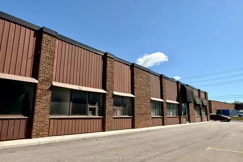
$14/mo
350 Oakdale Road 1B
Glenfield-Jane Heights, Toronto
Industrial · MLS® W13707878 · AVISON YOUNG COMMERCIAL REAL ESTATE SERVICES, LP
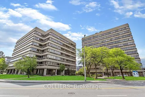
$13/mo
505 Consumers Road 200
Henry Farm, Toronto
Office · MLS® C5687107 · COLLIERS
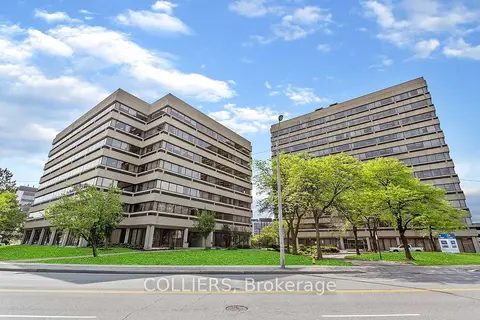
$13/mo
505 Consumers Road 304
Henry Farm, Toronto
Office · MLS® C5687787 · COLLIERS
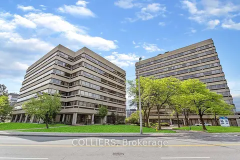
$13/mo
505 Consumers Road 506
Henry Farm, Toronto
Office · MLS® C5688195 · COLLIERS
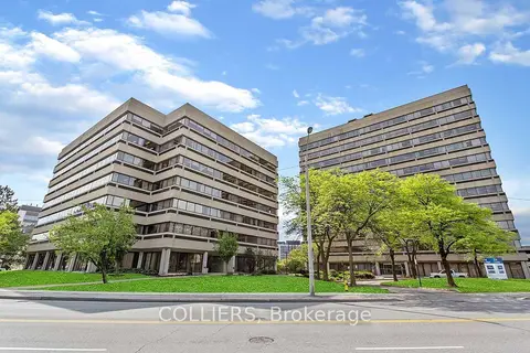
$13/mo
505 Consumers Road 1100
Henry Farm, Toronto
Office · MLS® C5688280 · COLLIERS
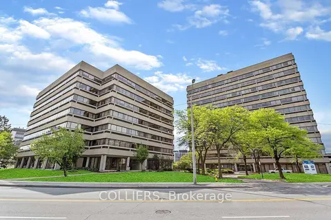
$13/mo
515 Consumers Road 306-310
Henry Farm, Toronto
Office · MLS® C5688434 · COLLIERS
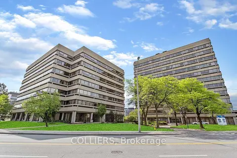
$13/mo
515 Consumers Road 401
Henry Farm, Toronto
Office · MLS® C5688450 · COLLIERS
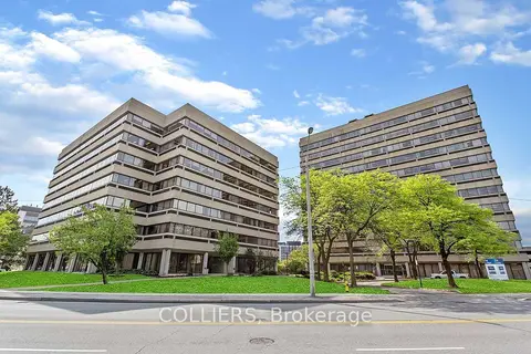
$13/mo
515 Consumers Road 500
Henry Farm, Toronto
Office · MLS® C5688467 · COLLIERS