33 Rainbow Ridge Avenue
Rouge E11, Toronto, M1B 2H7
$1,300/mo
Reduced $200 from $1,500
- 1 bedrooms
- 1 bathrooms
- 1 parking
- 1100-1500 sq ft
Listed 25 days ago · MLS® E13829130
About this home
Bright and Spacious 1-Bedroom, 1-Washroom Basement Available for Lease!Enjoy a comfortable living space featuring a separate entrance, separate washer and dryer, and one designated parking space. Tenants pay 30% of the utilities.Conveniently located close to TTC, library, schools, parks, and Highway 401. A great opportunity for comfortable and convenient living in a desirable neighbourhood.
Details
- Type
- Att/Row/Townhouse
- Style
- Bungalow
- Size
- 1100-1500 sq ft
- Lot
- 27 × ? ft
- Basement
- Separate Entrance
- Garage
- None
- Kitchens
- 1
- Neighbourhood
- Rouge E11
- Municipality
- Toronto E11
- Rent increase limit
- Depends on when the unit was first lived in: before Nov. 15, 2018 it’s covered by Ontario’s yearly limit (2.1% in 2026); after, there’s no cap.
Interior
- Bedrooms
- 1 above ground
- Bathrooms
- 1 × 4-piece (basement)
- Rooms
- 2 above ground
- Family room or den
- No
- Fireplace
- No
- Laundry
- Ensuite
- Furnished
- Unfurnished
Heating, cooling and services
- Heating
- Forced Air, Gas
- Air conditioning
- Central Air
- Water and sewer
- Sewer
Building and exterior
- Style
- Bungalow
- Exterior
- Brick
- Faces
- North
Parking
- Total parking
- 1
- Driveway and parking
- Available
Lot
- Size
- 27 × ? ft
More
- Possession
- ASAP
- Cross street
- Meadowvale / Sheppard
History of this address
4 earlier listings at this address, with sold and leased prices. Create a free account or sign in to see them.
Location
Location is approximate. See nearby homes on the map
The neighbourhood
Getting around Somewhat walkable
- 🚆 Rouge Hill GO3.9 km
Within a 10-minute walk: 1 grocery store, 0 cafés and restaurants, 3 parks, 1 pharmacy. Nearest grocery: Saravana Supermarket (950 m). Nearest park: Irma Burman Greenbelt (550 m).
Schools nearby
Elementary
- Chief Dan George Public School
EQAO: Gr 6 reading 86%, math 45%5 min walk - John G Diefenbaker Public School
EQAO: Gr 6 reading 96%, math 48%10 min walk - St. Jean de Brebeuf Catholic School Catholic
EQAO: Gr 6 reading 100%, math 53%13 min walk - St. Dominic Savio Catholic School Catholic
EQAO: Gr 6 reading 80%, math 41%16 min walk
EQAO: share of students meeting the provincial standard (2024–25). Ontario average: Gr 6 reading 86%, math 51%; Gr 9 math 55%; literacy test 83%.
Closest schools, not school zones. Check which school serves this address with the school board before relying on it.
Who lives here postal area M1B
- Owners / renters
- 72% / 28%
- Median household income
- $91,000
- Average age
- 41
- Children under 15
- 15%
- Homes
- 30% detached, 22% high-rise
- Commute by transit
- 23%
- Population
- 65,555
Languages spoken most at home besides English: Tamil 9.5%, Tagalog (Pilipino, Filipino) 3.7%, Urdu 2.7%, Yue (Cantonese) 2.4%.
Flood and conservation No mapped hazard
Not inside a mapped flood plain or regulated area.
Screening maps only. Ask the conservation authority for a property inquiry before relying on this.
Safety
Major crime per resident in West Rouge (2025): 33% below the Toronto average, down 7% from the year before.
- Assault64% below average
- Break and enter60% below average
- Auto theft98% above average
- Robbery44% below average
- Theft from vehiclesabout average
- Shootings46% below average
Crime Severity Index for Toronto police: 60 vs 57 for Ontario (2025).
Police-reported figures for the whole neighbourhood, not this street. Rates use the area’s resident population.
Development nearby 2 active
-
10071 SHEPPARD AVE E · 250 mOfficial Plan / Zoning By-law Amendment · Under Review · applied 2021Plan of Subdivision for a public road, and create a total of 11 single-detached dwelling lots.Application details
-
10065 SHEPPARD AVE E · 250 mPlan of Subdivision · Under Review · applied 2021Plan of Subdivision for a public road, and create a total of 11 single-detached dwelling lots.Application details
-
30 DEAN PARK RD · 450 mPlan of Condominium · Closed · applied 2023A Standard Draft Plan of Condominium application for "Phase 1" lands consisting of 10 commercial/retail units totaling 1300 sq.m. and 10 residential units…Application details
Rezoning, site plan, subdivision and condominium applications filed with the city.
Distances are approximate. Places © OpenStreetMap contributors. Neighbourhood figures: Statistics Canada, 2021 Census. School results: EQAO via Ontario Data Catalogue (Open Government Licence – Ontario). Neighbourhood crime: Toronto Police Service Public Safety Data Portal (Open Government Licence – Toronto Police Service). Crime Severity Index: Statistics Canada. Planning applications: City of Toronto open data.
Living here
Commute
To Union Station (downtown Toronto): 25 km. Transit times · Driving times
Noise Nothing major nearby
No highway within 500 m, rail line within 300 m, or airport flight path nearby.
Distances from the map, not noise measurements. Visit at rush hour to judge for yourself.
What can be built RT
Residential Townhouse (with a site-specific exception).
- ✅ Up to 4 homes on the lot (multiplex)
- ✅ Garden suite in the backyard
- ✅ Laneway suite, if the lot backs onto a lane
From Toronto’s Zoning By-law 569-2013 map. Lot size, setbacks and trees decide what actually fits; check with a planner before you buy.
Trees
61 City street trees within 100 m. That’s more than the Toronto average of 42.
Trees on City boulevards only, not private yards or parks.
Internet High-speed
50/10 Mbps or faster available here by cable, fibre or DSL (the federal high-speed target).
From the federal broadband map. Check exact speeds and providers for the address.
Short-term rentals
Only in your principal residence (where you live). The entire home can be rented up to 180 nights a year; renting up to 3 bedrooms while you live there has no limit. Hosts register with the City and collect the 6% accommodation tax.
Zoning, heritage, building permits and street trees: City of Toronto open data (Open Government Licence – Toronto). Roads, rail, airports and planned stations © OpenStreetMap contributors. Internet: Innovation, Science and Economic Development Canada, National Broadband Data.
Listed by RE/MAX REALTRON REALTY INC..
Listing information provided by PropTx Innovations Inc. and TRREB; deemed reliable but not guaranteed accurate by PropTx.
Similar homes nearby
See more in Toronto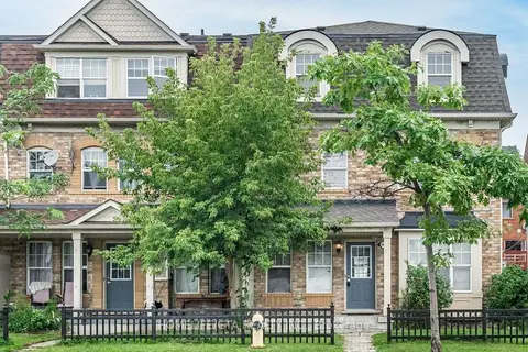
$1,300/mo
1 bd1 ba< 700 ft²
8864 Sheppard Avenue E Basement
Rouge E11, Toronto
Att/Row/Townhouse · MLS® E12601778 · HOMELIFE/GTA REALTY INC.
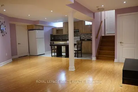
$1,400/mo
1 bd1 ba1 pk2000-2500 ft²
601 Staines Road Bsmt
Rouge E11, Toronto
Detached · MLS® E13691650 · ROYAL LEPAGE IGNITE REALTY
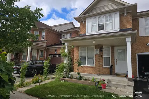
$1,400/mo
1 bd1 ba1500-2000 ft²
18 Bobcat Terrace Bsmt
Rouge E11, Toronto
Semi-Detached · MLS® E13763840 · RE/MAX COMMUNITY REALTY INC.
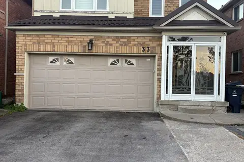 New
$1,400/mo
1 bd1 ba1 pk2000-2500 ft²
33 Seasons Drive Bsmt
Rouge E11, Toronto
Detached · MLS® E14093498 · HOMELIFE/FUTURE REALTY INC.
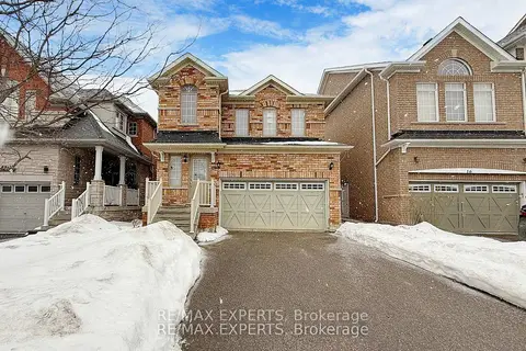
$1,450/mo
1 bd1 ba1 pk1500-2000 ft²
14 Snowy Owl Way Bsmt
Rouge E11, Toronto
Detached · MLS® E13733002 · RE/MAX EXPERTS
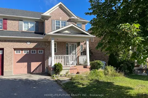
$1,450/mo
1 bd1 ba1 pk1500-2000 ft²
118 Raponi Circle Bsmt
Rouge E11, Toronto
Semi-Detached · MLS® E13752854 · HOMELIFE/FUTURE REALTY INC.
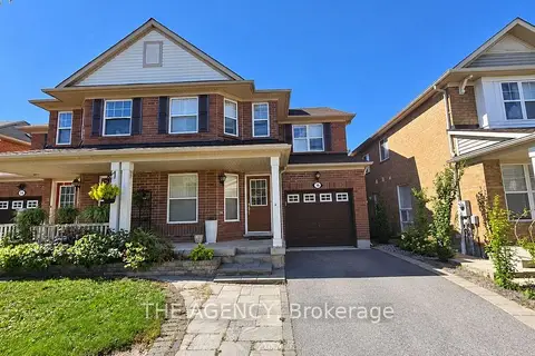
$1,450/mo
1 bd1 ba700-1100 ft²
16 Bobcat Terrace Bsmt
Rouge E11, Toronto
Semi-Detached · MLS® E13826782 · THE AGENCY
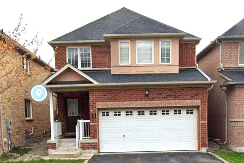
$1,450/mo
1 bd1 ba1 pk< 700 ft²
11 Seasons Drive Bsmt
Rouge E11, Toronto
Detached · MLS® E13857192 · RE/MAX ACE REALTY INC.