33 Frederick Todd Way 532
Thorncliffe Park, Toronto, M4G 0C9 · More in this building
$2,300/mo
- 1+1 bedrooms
- 1 bathrooms
- 0 parking
- 700-799 sq ft
Listed 13 days ago · MLS® C13868138
About this home
Welcome To Residences Of Upper East Village - A Wonderful Addition To The Established Neighbourhood Of Leaside! Units Offer Laminate Flooring Throughout, Built-In Kitchen Appliances, Sleek Modern Touches, Ensuite Laundry And Hi-Speed Internet (Included) Wrapped Up In Functional Layouts For Everyday Life. Combine That With A Dedicated Concierge Desk, Being On The Lrt Line, Close Access To Sunnybrook Park And All The Amenities Of Leaside, Come have a look!
Details
- Type
- Condo Apartment
- Style
- Apartment
- Age
- 0-5 years
- Size
- 700-799 sq ft
- Basement
- None
- Garage
- None
- Kitchens
- 1
- Neighbourhood
- Thorncliffe Park
- Municipality
- Toronto C11
- Rent increase limit
- Probably not covered: units first occupied after Nov. 15, 2018 have no yearly cap in Ontario, so ask the landlord.
Interior
- Bedrooms
- 1 above ground + 1 below
- Bathrooms
- 1 × 4-piece
- Rooms
- 4 above ground
- Family room or den
- Yes
- Fireplace
- Yes
- Laundry
- Ensuite
- Features
- Built-In Oven, Carpet Free, Countertop Range
- Furnished
- Unfurnished
Heating, cooling and services
- Heating
- Forced Air, Gas
- Air conditioning
- Central Air
Building and exterior
- Style
- Apartment
- Exterior
- Concrete
- Age
- 0-5 years
Condo
- Building
- Upper East Village
- Amenities
- Concierge, Exercise Room, Party Room/Meeting Room
- Balcony
- Open
- Exposure
- East
- Pets
- Yes-with Restrictions
- Security
- Concierge/Security
- Property manager
- Forest Hill Kipling Residential Management
Rental terms
- Rent includes
- Common Elements, High Speed Internet
More
- Possession
- 1-29 days
- Nearby
- Hospital, Library, Park, Public Transit, Rec./Commun.Centre, School
- Cross street
- Eglinton Ave E & Laird Dr
History of this address
4 earlier listings at this address, with sold and leased prices. Create a free account or sign in to see them.
Location
Location is approximate. See nearby homes on the map
The neighbourhood
Getting around Very walkable
- 🚇 Laird LRT5 min walk
- 🚇 Sunnybrook Park LRT16 min walk
- 🚆 Oriole GO5.7 km
Within a 10-minute walk: 4 grocery stores, 14 cafés and restaurants, 3 parks, 1 pharmacy. Nearest grocery: Farm Boy (500 m). Nearest park: Radar Park (150 m).
Schools nearby
Elementary
- Northlea Elementary and Middle School
EQAO: Gr 6 reading 95%, math 82%10 min walk - Bessborough Drive Elementary and Middle School
EQAO: Gr 6 reading 93%, math 80%17 min walk - Leaside Children’s House Montessori Private1.2 km
- St. Anselm Catholic School Catholic
EQAO: Gr 6 reading 100%, math 75%1.3 km
Secondary
- Leaside High School
EQAO: Gr 9 math 79%, literacy test 95%16 min walk - Valley Park Middle School2.0 km
EQAO: share of students meeting the provincial standard (2024–25). Ontario average: Gr 6 reading 86%, math 51%; Gr 9 math 55%; literacy test 83%.
Closest schools, not school zones. Check which school serves this address with the school board before relying on it.
Who lives here postal area M4G
- Owners / renters
- 68% / 32%
- Median household income
- $130,000
- Average age
- 43
- Children under 15
- 16%
- Homes
- 42% detached, 23% high-rise
- Commute by transit
- 13%
- Population
- 19,598
Languages spoken most at home besides English: Mandarin 0.9%, Spanish 0.8%, Iranian Persian 0.7%, Portuguese 0.7%.
Flood and conservation No mapped hazard
Not inside a mapped flood plain or regulated area.
Screening maps only. Ask the conservation authority for a property inquiry before relying on this.
Safety
Major crime per resident in Thorncliffe Park (2025): about the Toronto average, up 15% from the year before.
- Assaultabout average
- Break and enter45% below average
- Auto theft68% above average
- Robberyabout average
- Theft from vehiclesabout average
- Shootingsnone reported
Crime Severity Index for Toronto police: 60 vs 57 for Ontario (2025).
Police-reported figures for the whole neighbourhood, not this street. Rates use the area’s resident population.
Development nearby 9 active
-
939 EGLINTON AVE E · 100 mPlan of Condominium · Draft Plan Approved · applied 2025Draft Plan of Condo for 301 units.Application details
-
105-109 VANDERHOOF AVE · 200 mOfficial Plan / Zoning By-law Amendment · OMB Appeal · applied 2025Official Plan Amendment proposes to amend the City of Toronto Official Plan by re-designating the subject site from Core Employment Areas to Mixed Use Areas.…Application details
-
849 EGLINTON AVE E · 100 mPlan of Subdivision · Appeal Received · applied 2022Draft Plan of Subdivision for 1lot. (related files 22-160403 NNY 15 OZ, 22-160402 NNY 15 SA)Application details
-
849 EGLINTON AVE E · 100 mSite Plan · Under Review · applied 2022Proposal for a development includes three buildings: a 40-storey residential mixed-use building, a 21storey residential building, and a 6-storey office…Application details
-
845 EGLINTON AVE E · 200 mPart Lot Control · Under Review · applied 2022Part lot control exemption application to establish stratified ownerships of the five mixed-use buildings, as conditionally approved by the OLT in 2020, that…Application details
-
943 EGLINTON AVE E · 100 mOfficial Plan / Zoning By-law Amendment · Appeal Received · applied 2021The proposal is for the redevelopment of the existing 6.7 acre site with a total density of 3.8 times the site area. The proposed includes 3,633 m² of retail…Application details
7 more within 500 m.
Rezoning, site plan, subdivision and condominium applications filed with the city.
Distances are approximate. Places © OpenStreetMap contributors. Neighbourhood figures: Statistics Canada, 2021 Census. School results: EQAO via Ontario Data Catalogue (Open Government Licence – Ontario). Neighbourhood crime: Toronto Police Service Public Safety Data Portal (Open Government Licence – Toronto Police Service). Crime Severity Index: Statistics Canada. Planning applications: City of Toronto open data.
Living here
Commute
To Union Station (downtown Toronto): 8 km. Transit times · Driving times
Coming transit
- 🚧 Thorncliffe Park 1.3 km
- 🚧 Flemingdon Park 1.9 km
- 🚧 Don Valley 2.0 km
Stations under construction or approved. Opening dates are the latest public estimates and often move.
Noise Nothing major nearby
No highway within 500 m, rail line within 300 m, or airport flight path nearby.
Distances from the map, not noise measurements. Visit at rush hour to judge for yourself.
Building permits
- Electromagnetic Locks · 2025 · Permit IssuedProposal to install one maglock at 12th floor corridor to terrace door.
Permits filed with the City of Toronto. A permit doesn’t mean the work passed final inspection.
Trees
5 City street trees within 100 m, mostly maples. That’s fewer than the Toronto average of 42.
Trees on City boulevards only, not private yards or parks.
Internet High-speed
50/10 Mbps or faster available here by cable, fibre or DSL (the federal high-speed target).
From the federal broadband map. Check exact speeds and providers for the address.
Short-term rentals
Only in your principal residence (where you live). The entire home can be rented up to 180 nights a year; renting up to 3 bedrooms while you live there has no limit. Hosts register with the City and collect the 6% accommodation tax.
Zoning, heritage, building permits and street trees: City of Toronto open data (Open Government Licence – Toronto). Roads, rail, airports and planned stations © OpenStreetMap contributors. Internet: Innovation, Science and Economic Development Canada, National Broadband Data.
Listed by BAYTREE REAL ESTATE INC..
Listing information provided by PropTx Innovations Inc. and TRREB; deemed reliable but not guaranteed accurate by PropTx.
Similar homes nearby
See more in Toronto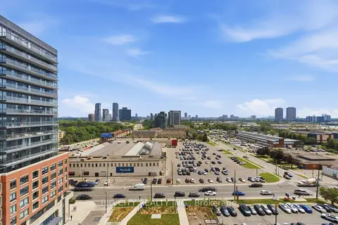
$2,300/mo
1+1 bd1 ba500-599 ft²
25 Frederick Todd Way 1109
Thorncliffe Park, Toronto
Condo Apartment · MLS® C13654806 · BIG CITY REALTY INC.
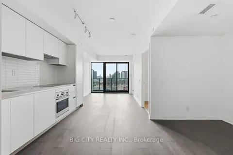
$2,300/mo
1+1 bd1 ba500-599 ft²
25 Frederick Todd Way 809
Thorncliffe Park, Toronto
Condo Apartment · MLS® C13661624 · BIG CITY REALTY INC.
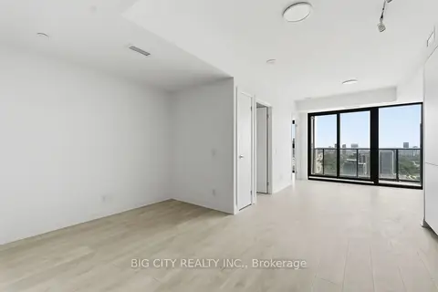
$2,300/mo
1+1 bd1 ba500-599 ft²
25 Frederick Todd Way 2208
Thorncliffe Park, Toronto
Condo Apartment · MLS® C13746134 · BIG CITY REALTY INC.
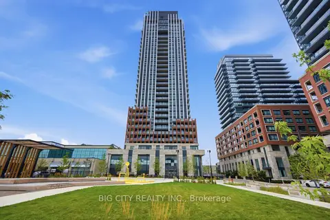
$2,300/mo
1+1 bd1 ba500-599 ft²
25 Frederick Todd Way 1908
Thorncliffe Park, Toronto
Condo Apartment · MLS® C13782524 · BIG CITY REALTY INC.
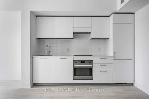
$2,300/mo
1+1 bd2 ba600-699 ft²
33 Frederick Todd Way 420
Thorncliffe Park, Toronto
Condo Apartment · MLS® C14080236 · BAYTREE REAL ESTATE INC.
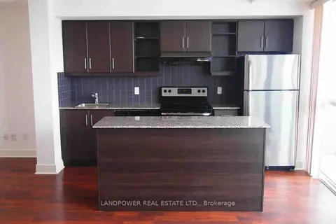
$2,275/mo
1+1 bd1 ba1 pk600-699 ft²
35 Brian Peck Crescent 1002
Thorncliffe Park, Toronto
Condo Apartment · MLS® C13842742 · LANDPOWER REAL ESTATE LTD.
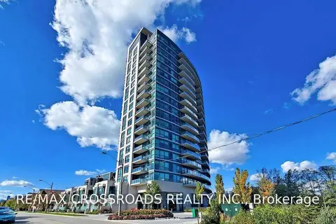
$2,250/mo
1 bd1 ba1 pk600-699 ft²
160 Vanderhoof Avenue Lph12
Thorncliffe Park, Toronto
Condo Apartment · MLS® C13726548 · RE/MAX CROSSROADS REALTY INC.
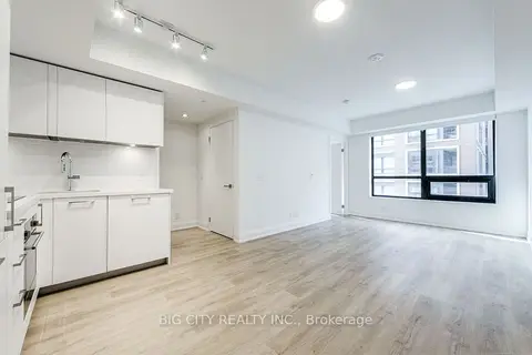
$2,250/mo
1 bd1 ba500-599 ft²
36 Brentcliffe Road 401
Thorncliffe Park, Toronto
Condo Apartment · MLS® C13851642 · BIG CITY REALTY INC.