31 Upton Road
Clairlea-Birchmount, Toronto, M1L 2C1
$25/mo
Listed 15 days ago · MLS® E13859568
About this home
8,840 sq. ft. freestanding warehouse and office facility available for lease in Scarborough's Golden Mile, with a new lease to be entered into directly with the landlord. Extensively refurbished, featuring 14 ft. clear height, five glass-window drive-in loading doors, and insulated interior walls and ceilings. Private, exclusive-use parking lot and separate office entrance. Air-conditioned office space and radiant warehouse heating. Currently used for storage of home-staging materials and related offices. Proposed use and lease terms are subject to landlord approval.
Details
- Type
- Industrial
- Lot
- 80 × 203 ft
- Garage
- None
- Neighbourhood
- Clairlea-Birchmount
- Municipality
- Toronto E04
Heating, cooling and services
- Heating
- Radiant
- Air conditioning
- Partial
- Utilities
- Available
Building and exterior
- Building area
- 8,840 Square Feet
Rental terms
- Minimum term
- 60 months
More
- Possession
- Flexible
- Cross street
- Warden / Eglinton
Location
Location is approximate. See nearby homes on the map
The neighbourhood
Getting around Walkable
- 🚇 Warden Subway13 min walk
- 🚇 Golden Mile LRT18 min walk
- 🚆 Scarborough GO2.1 km
Within a 10-minute walk: 2 grocery stores, 14 cafés and restaurants, 5 parks. Nearest grocery: Hung-Wang Foods Inc (250 m). Nearest park: GECo Park (200 m).
Schools nearby
Elementary
- General Brock Public School
EQAO: Gr 6 reading 76%, math 27%7 min walk - St. Joachim Catholic School Catholic
EQAO: Gr 6 reading 71%, math 25%12 min walk - Clairlea Public School
EQAO: Gr 6 reading 74%, math 30%1.3 km - Our Lady of Fatima Catholic School Catholic
EQAO: Gr 6 reading 90%, math 40%1.4 km
Secondary
- W. A. Porter Collegiate Institute
EQAO: Gr 9 math 61%, literacy test 89%8 min walk
EQAO: share of students meeting the provincial standard (2024–25). Ontario average: Gr 6 reading 86%, math 51%; Gr 9 math 55%; literacy test 83%.
Closest schools, not school zones. Check which school serves this address with the school board before relying on it.
Who lives here postal area M1L
- Owners / renters
- 51% / 49%
- Median household income
- $78,000
- Average age
- 40
- Children under 15
- 17%
- Homes
- 27% detached, 34% high-rise
- Commute by transit
- 35%
- Population
- 35,833
Languages spoken most at home besides English: Bengali 8%, Tagalog (Pilipino, Filipino) 2.6%, Urdu 2.1%, Yue (Cantonese) 2%.
Flood and conservation No mapped hazard
Not inside a mapped flood plain or regulated area.
Screening maps only. Ask the conservation authority for a property inquiry before relying on this.
Safety
Major crime per resident in Clairlea-Birchmount (2025): 45% above the Toronto average, about the same from the year before.
- Assault70% above average
- Break and enterabout average
- Auto theft28% above average
- Robbery38% below average
- Theft from vehicles37% above average
- Shootings20% above average
Crime Severity Index for Toronto police: 60 vs 57 for Ontario (2025).
Police-reported figures for the whole neighbourhood, not this street. Rates use the area’s resident population.
Development nearby 8 active
-
743 WARDEN AVE · 150 mPlan of Condominium · Draft Plan Approved · applied 2026Draft Plan of Condominium for 211 unitsApplication details
-
756 WARDEN AVE · 400 mSite Plan · Under Review · applied 2024The proposed development of this large vacant 24,254 square metre parcel of land at the southwest corner of Warden Avenue and Comstock Road involves the…Application details
-
743 WARDEN AVE · 150 mSite Plan · NOAC Issued · applied 2022Site Plan Approval for a six storey Dymon Centre with a total gross floor area ("GFA") of 17,876 sq. m., including 749 sq. m. of retail space (4%), 3,145 sq.…Application details
-
95 PIDGEON ST · 300 mPlan of Condominium · Under Review · applied 2021The Draft Plan of Condominium application is intended to facilitate a common elements condominium development consisting of eight (8) 3-storey townhouse units…Application details
-
32 UPTON RD · 100 mSite Plan · Under Review · applied 2021Site Plan Approval for a proposed addition to the northwest of the existing building. The proposed addition has a gross floor area of 98.5 square metres, and a…Application details
-
0 BRIMLEY RD · 500 mOfficial Plan / Zoning By-law Amendment · OMB Appeal · applied 2020Official Plan and Zoning By-law Amendments to facilitate a proposed plan of subdivision having a total area of 15.625 ha . The subdivision proposes new public…Application details
4 more within 500 m.
Rezoning, site plan, subdivision and condominium applications filed with the city.
Distances are approximate. Places © OpenStreetMap contributors. Neighbourhood figures: Statistics Canada, 2021 Census. School results: EQAO via Ontario Data Catalogue (Open Government Licence – Ontario). Neighbourhood crime: Toronto Police Service Public Safety Data Portal (Open Government Licence – Toronto Police Service). Crime Severity Index: Statistics Canada. Planning applications: City of Toronto open data.
Living here
Commute
To Union Station (downtown Toronto): 11 km. Transit times · Driving times
Noise Nothing major nearby
No highway within 500 m, rail line within 300 m, or airport flight path nearby.
Distances from the map, not noise measurements. Visit at rush hour to judge for yourself.
What can be built EH
Employment Heavy Industrial (with a site-specific exception).
From Toronto’s Zoning By-law 569-2013 map. Lot size, setbacks and trees decide what actually fits; check with a planner before you buy.
Trees
11 City street trees within 100 m. That’s fewer than the Toronto average of 42.
Trees on City boulevards only, not private yards or parks.
Internet High-speed
50/10 Mbps or faster available here by cable, fibre or DSL (the federal high-speed target).
From the federal broadband map. Check exact speeds and providers for the address.
Zoning, heritage, building permits and street trees: City of Toronto open data (Open Government Licence – Toronto). Roads, rail, airports and planned stations © OpenStreetMap contributors. Internet: Innovation, Science and Economic Development Canada, National Broadband Data.
Listed by KELLER WILLIAMS REFERRED URBAN REALTY.
Listing information provided by PropTx Innovations Inc. and TRREB; deemed reliable but not guaranteed accurate by PropTx.
Similar homes nearby
See more in Toronto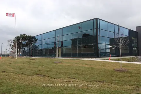
$21/mo
1550 Birchmount Road 119
Clairlea-Birchmount, Toronto
Industrial · MLS® E13459082 · CENTURY 21 REGAL REALTY INC.
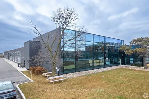
$21/mo
1550 Birchmount Road 113/115
Clairlea-Birchmount, Toronto
Industrial · MLS® E13459098 · CENTURY 21 REGAL REALTY INC.
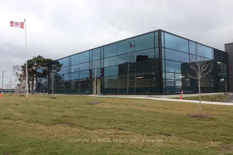
$21/mo
1550 Birchmount Road 1B
Clairlea-Birchmount, Toronto
Industrial · MLS® E13771814 · CENTURY 21 REGAL REALTY INC.
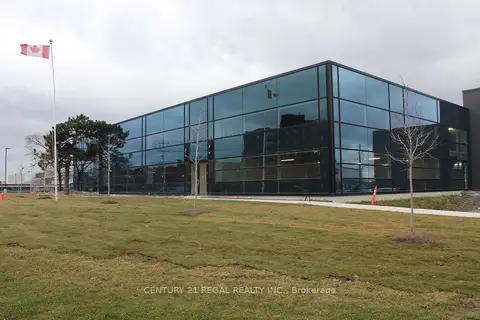
$21/mo
1550 Birchmount Road 105
Clairlea-Birchmount, Toronto
Industrial · MLS® E13772440 · CENTURY 21 REGAL REALTY INC.
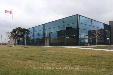
$21/mo
1550 Birchmount Road 106/108
Clairlea-Birchmount, Toronto
Industrial · MLS® E13772598 · CENTURY 21 REGAL REALTY INC.
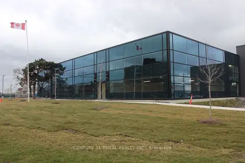
$21/mo
1550 Birchmount Road 111
Clairlea-Birchmount, Toronto
Industrial · MLS® E13772664 · CENTURY 21 REGAL REALTY INC.
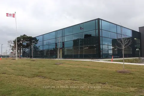
$21/mo
1550 Birchmount Road 120
Clairlea-Birchmount, Toronto
Industrial · MLS® E13772764 · CENTURY 21 REGAL REALTY INC.
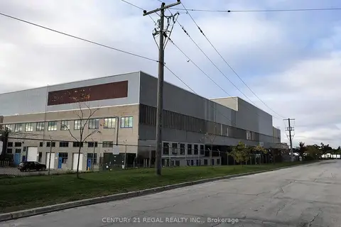
$21/mo
1510 Birchmount Road 104
Clairlea-Birchmount, Toronto
Industrial · MLS® E13875112 · CENTURY 21 REGAL REALTY INC.