31 Adelaide Street S MAIN
South I, London South, N5Z 3K1
$1,895/mo
- 3 bedrooms
- 1 bathrooms
- 2 parking
- 1100-1500 sq ft
Listed 10 days ago · MLS® X13885090
About this home
Bright main-floor unit for lease at 31 Adelaide St S! One-floor living with two spacious living rooms, an eat-in kitchen with plenty of cabinet space, 3 bedrooms, and a full 4-pc bath. Enjoy a fenced rear yard and up to 2-car parking on the private laneway. In-home laundry, shared with the lower unit in a common area. On a bus route, close to Victoria Hospital and steps from Princess Elizabeth Public School. A great spot for families and commuters alike! Available for immediate move-in.
Details
- Type
- Detached
- Style
- Bungalow
- Age
- 100+ years
- Size
- 1100-1500 sq ft
- Lot
- 40 × 115 ft
- Basement
- Apartment, Separate Entrance
- Garage
- None
- Kitchens
- 1
- Neighbourhood
- South I
- Municipality
- London South
- Rent increase limit
- Depends on when the unit was first lived in: before Nov. 15, 2018 it’s covered by Ontario’s yearly limit (2.1% in 2026); after, there’s no cap.
Interior
- Bedrooms
- 3 above ground
- Bathrooms
- 1 × 3-piece (main)
- Rooms
- 7 above ground
- Family room or den
- Yes
- Fireplace
- No
- Laundry
- Common Area, In Basement, Laundry Room, Shared
- Features
- Primary Bedroom - Main Floor, Water Heater
- Furnished
- Unfurnished
Heating, cooling and services
- Heating
- Forced Air, Gas
- Air conditioning
- Central Air
- Water and sewer
- Sewer
Building and exterior
- Style
- Bungalow
- Exterior
- Brick
- Roof
- Shingles
- Foundation
- Concrete
- Age
- 100+
- Faces
- West
Parking
- Total parking
- 2
- Driveway and parking
- Private
Lot
- Size
- 40 × 115 ft
Rental terms
- Rent includes
- Central Air Conditioning, Parking, Water Heater
More
- Possession
- IMMEDIATE POSS AVAIL
- Cross street
- ADELAIDE ST S/THOMPSON RD
Location
Location is approximate. See nearby homes on the map
The neighbourhood
Getting around Somewhat walkable
No subway, LRT or GO station within a short trip.
Within a 10-minute walk: no grocery stores, 4 cafés and restaurants, 7 parks. Nearest park: Brookside Park (150 m).
Schools nearby
Elementary
- Princess Elizabeth Public School
EQAO: Gr 6 reading 88%, math 53%10 min walk - Holy Rosary Separate School Catholic
EQAO: Gr 6 reading 80%, math 24%12 min walk - Aberdeen Public School
EQAO: Gr 6 reading 65%, math 33%17 min walk - Trafalgar Public School
EQAO: Gr 6 reading 52%, math 9%1.2 km
Secondary
- Wheable Adult Education Centre7 min walk
- B. Davison Secondary School10 min walk
- Lester B. Pearson School for the Arts12 min walk
EQAO: share of students meeting the provincial standard (2024–25). Ontario average: Gr 6 reading 86%, math 51%; Gr 9 math 55%; literacy test 83%.
Closest schools, not school zones. Check which school serves this address with the school board before relying on it.
Who lives here postal area N5Z
- Owners / renters
- 62% / 38%
- Median household income
- $64,500
- Average age
- 41
- Children under 15
- 16%
- Homes
- 50% detached, 8% high-rise
- Commute by transit
- 6%
- Population
- 24,067
Languages spoken most at home besides English: Spanish 1.7%, Arabic 1.5%, Portuguese 1.1%, Polish 1%.
Safety
Crime Severity Index for London police: 73 vs 57 for Ontario (2025).
Police-reported figures for the whole police service area, not this street. Rates use the area’s resident population.
Distances are approximate. Places © OpenStreetMap contributors. Neighbourhood figures: Statistics Canada, 2021 Census. School results: EQAO via Ontario Data Catalogue (Open Government Licence – Ontario). Crime Severity Index: Statistics Canada.
Living here
Commute
To downtown London: 2 km. Transit times · Driving times
Noise 1 source nearby
- 🚆 Rail line (Talbot Spur)300 m
Distances from the map, not noise measurements. Visit at rush hour to judge for yourself.
Internet High-speed
50/10 Mbps or faster available here by cable, fibre or DSL (the federal high-speed target).
From the federal broadband map. Check exact speeds and providers for the address.
Roads, rail, airports and planned stations © OpenStreetMap contributors. Internet: Innovation, Science and Economic Development Canada, National Broadband Data.
Listed by CENTURY 21 FIRST CANADIAN CORP.
Listing information provided by PropTx Innovations Inc. and TRREB; deemed reliable but not guaranteed accurate by PropTx.
Similar homes nearby
See more in London South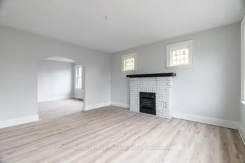
$1,895/mo
2 bd1 ba700-1100 ft²
425 Mckenzie Avenue 3
South F, London South
Multiplex · MLS® X13757288 · ROYAL LEPAGE TRILAND REALTY
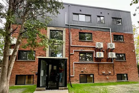
$1,850/mo
2 bd1 ba1 pk700-1100 ft²
400 Scenic Drive S 9
South J, London South
Multiplex · MLS® X13678158 · RE/MAX CENTRE CITY REALTY INC.
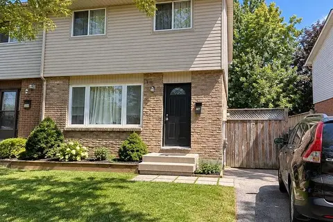
$1,950/mo
Reduced $450
3 bd1 ba3 pk1100-1500 ft²
32 Elvira Crescent Main & 2nd
South X, London South
Semi-Detached · MLS® X13636560 · CENTURY 21 GREEN REALTY INC.
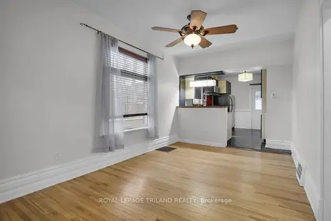
$1,815/mo
2 bd1 ba700-1100 ft²
18 Wharncliffe Road S
South F, London South
Detached · MLS® X13697626 · ROYAL LEPAGE TRILAND REALTY
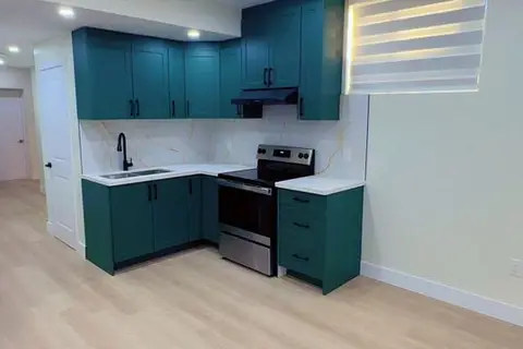
$1,800/mo
2 bd1 ba4 pk2000-2500 ft²
3843 Petalpath Way Basement
South V, London South
Detached · MLS® X13853950 · SHRINE REALTY BROKERAGE LTD.
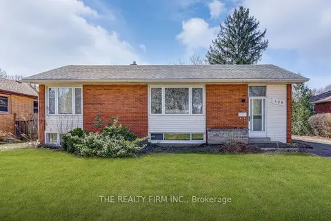 New
$1,800/mo
0+1 bd1 ba1 pk700-1100 ft²
408 Ridgewood Crescent Lower
South D, London South
Detached · MLS® X14094410 · THE REALTY FIRM INC.
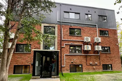
$1,795/mo
Reduced $55
2 bd1 ba1 pk700-1100 ft²
400 Scenic Drive 8
South J, London South
Multiplex · MLS® X13770116 · RE/MAX CENTRE CITY REALTY INC
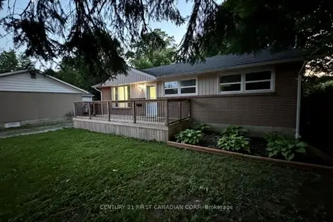
$1,999/mo
Reduced $101
3 bd1 ba2 pk700-1100 ft²
31 Thorncrest Crescent Upper Level
South D, London South
Detached · MLS® X13853274 · CENTURY 21 FIRST CANADIAN CORP